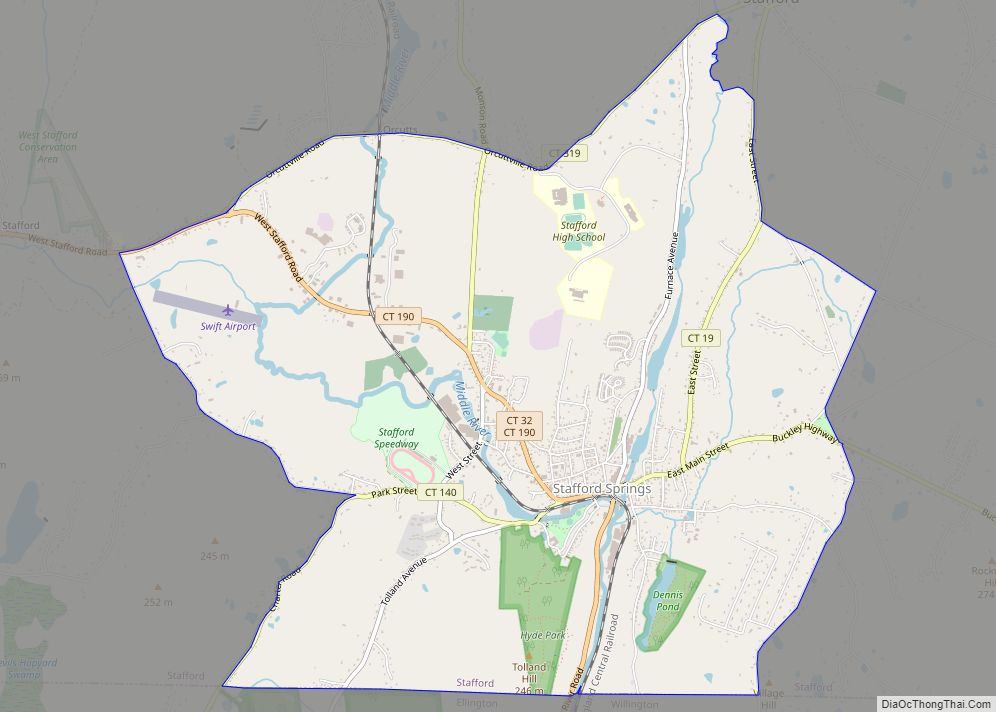
Stafford Springs is a census-designated place located in Stafford, Connecticut. The population was 4,780 at the 2020 Census. The village was a borough until November 1991, when it was disincorporated.
Located near the source of the Willimantic River, the mill industry grew in the town due to its location and became the largest industry in the area. The village has the Holt Memorial Fountain and the former railroad station.
In the 18th century, the spring at Stafford Springs was famous for its reputed ability to cure “the gout, sterility, pulmonary, hysterics, etc.” In 1771, John Adams, then a young lawyer, visited Stafford Springs for several days after suffering from overwork and anxiety.
Stafford Springs was once the headquarters of Station C of the Connecticut State Police, and subsequently was the site of the Troop C Barracks.
Currently Route 32, Route 190, Route 19, and Route 140 pass through or originate in the village.
| Name: | Stafford Springs CDP |
|---|---|
| LSAD Code: | 57 |
| LSAD Description: | CDP (suffix) |
| State: | Connecticut |
| County: | Tolland County |
| Elevation: | 607 ft (185 m) |
| Total Area: | 6.41 sq mi (16.6 km²) |
| Land Area: | 6.37 sq mi (16.5 km²) |
| Water Area: | 0.036 sq mi (0.093 km²) |
| Total Population: | 4,780 |
| Population Density: | 750/sq mi (290/km²) |
| ZIP code: | 06076 |
| Area code: | 860 |
| FIPS code: | 0972300 |
| Website: | staffordct.org |
Online Interactive Map
Click on ![]() to view map in "full screen" mode.
to view map in "full screen" mode.
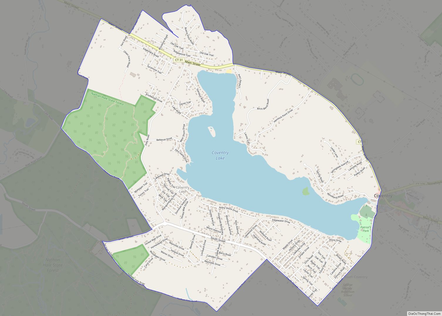
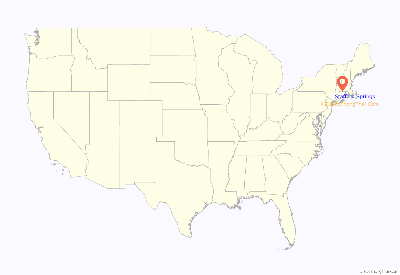
Stafford Springs location map. Where is Stafford Springs CDP?
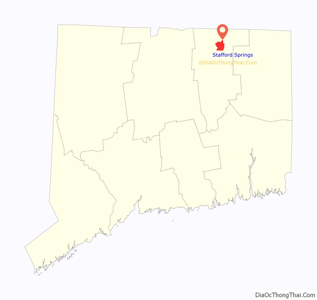
Stafford Springs Road Map

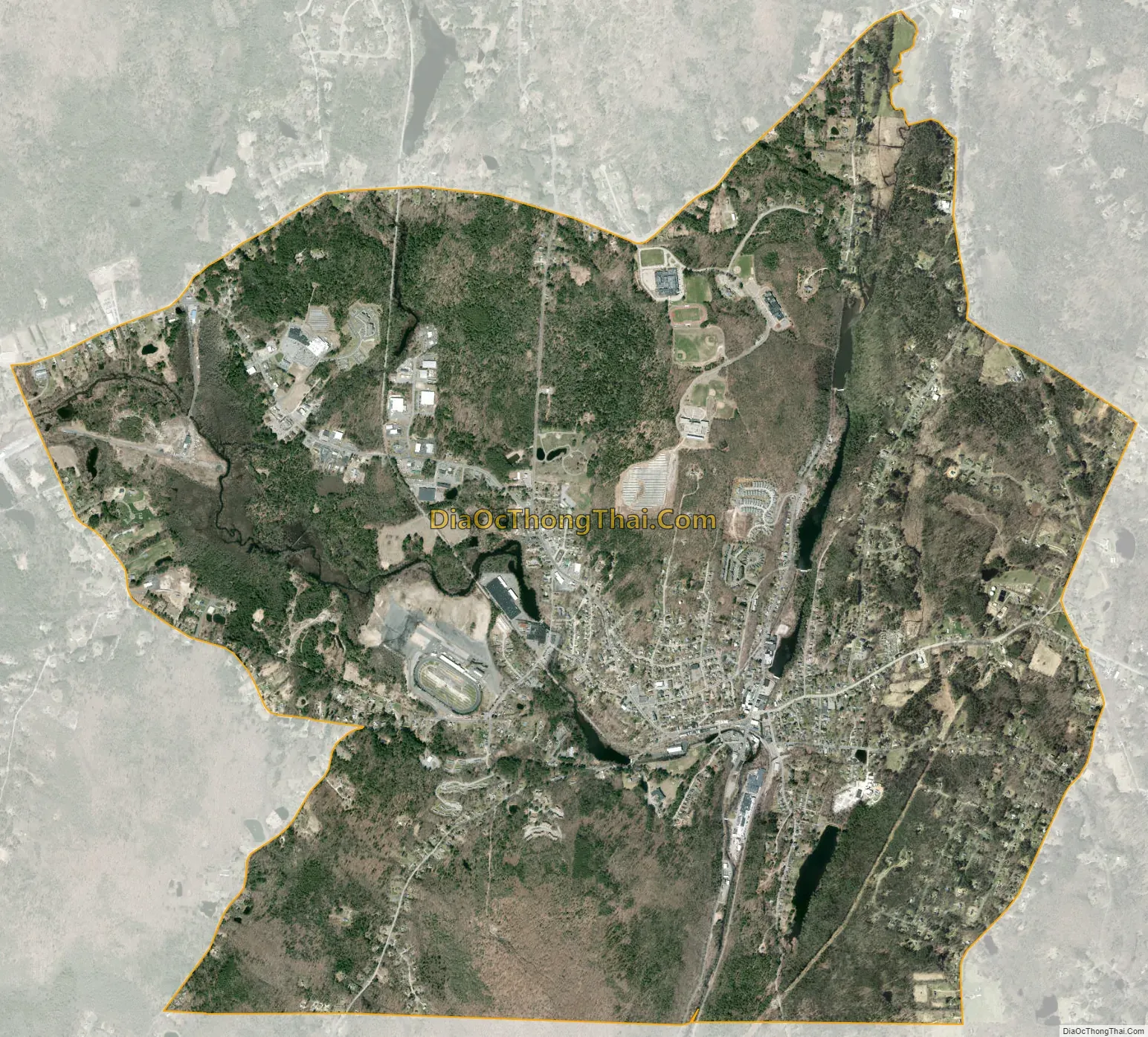
Stafford Springs city Satellite Map
Geography
According to the United States Census Bureau, the CDP has a total area of 6.41 mi (16.6 km). 6.37 mi (16.5 km) of it is land and 0.036 mi (0.093 km) of it (0.56%) is water.
See also
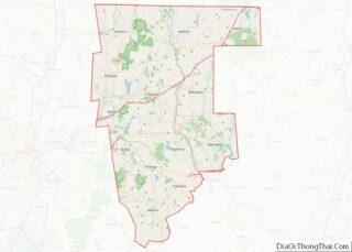
Map of Connecticut State and its subdivision: Map of other states:- Alabama
- Alaska
- Arizona
- Arkansas
- California
- Colorado
- Connecticut
- Delaware
- District of Columbia
- Florida
- Georgia
- Hawaii
- Idaho
- Illinois
- Indiana
- Iowa
- Kansas
- Kentucky
- Louisiana
- Maine
- Maryland
- Massachusetts
- Michigan
- Minnesota
- Mississippi
- Missouri
- Montana
- Nebraska
- Nevada
- New Hampshire
- New Jersey
- New Mexico
- New York
- North Carolina
- North Dakota
- Ohio
- Oklahoma
- Oregon
- Pennsylvania
- Rhode Island
- South Carolina
- South Dakota
- Tennessee
- Texas
- Utah
- Vermont
- Virginia
- Washington
- West Virginia
- Wisconsin
- Wyoming