Seaford is a city located along the Nanticoke River in Sussex County, Delaware, United States. According to the 2010 Census Bureau figures, the population of the city is 6,928, an increase of 3.4% from the 2000 census. It is part of the Salisbury, Maryland-Delaware Metropolitan Statistical Area.
It is the largest city fully within Sussex County. It hosted the Seaford Eagles of the Eastern Shore Baseball League.
| Name: | Seaford city |
|---|---|
| LSAD Code: | 25 |
| LSAD Description: | city (suffix) |
| State: | Delaware |
| County: | Sussex County |
| Incorporated: | April 6, 1865 |
| Elevation: | 23 ft (7 m) |
| Total Area: | 5.16 sq mi (13.37 km²) |
| Land Area: | 5.09 sq mi (13.19 km²) |
| Water Area: | 0.07 sq mi (0.18 km²) |
| Total Population: | 7,957 |
| Population Density: | 1,562.65/sq mi (603.31/km²) |
| ZIP code: | 19973 |
| Area code: | 302 |
| FIPS code: | 1064320 |
| GNISfeature ID: | 214626 |
| Website: | www.seafordde.com |
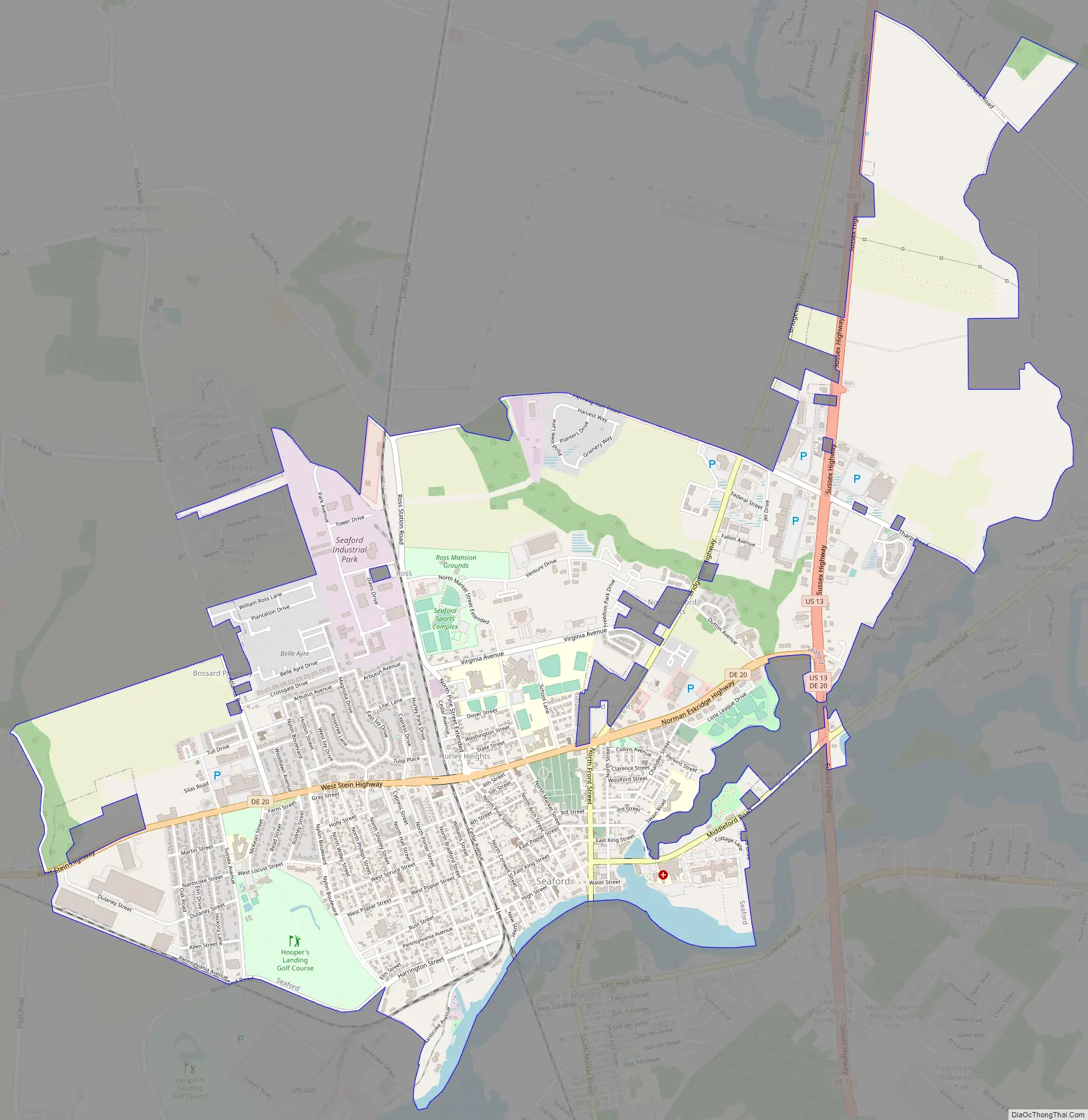
Online Interactive Map
Click on ![]() to view map in "full screen" mode.
to view map in "full screen" mode.
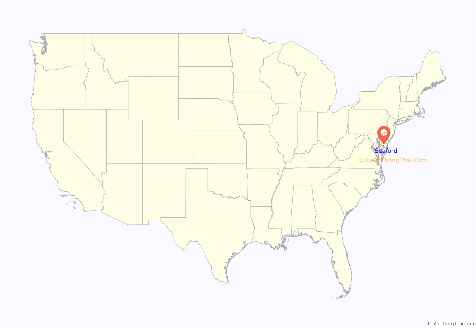
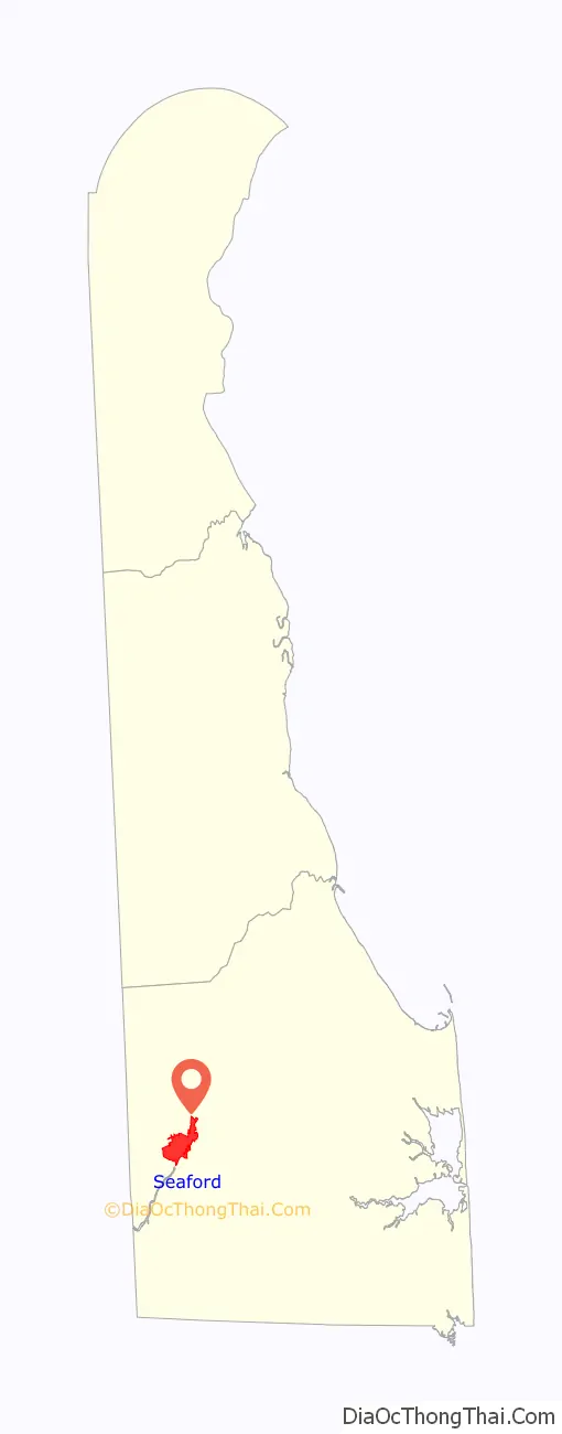
Seaford location map. Where is Seaford city?
History
Seaford is named after Seaford, East Sussex in England.
All land in current western and southern Sussex County was first settled as part of Maryland. Seaford, along with Bridgeville, Greenwood, Middleford, and others, were all part of Dorchester County in the Province of Maryland. Blades, Laurel, and Concord areas, on the other hand, were part of Somerset County. It is reported that an error in a map coordinate resulted in the east-west line of Delaware being from current Delmar to Fenwick. The original agreement had the eastwest line at Cape Henlopen, not at the false cape. If the line had survived, Seaford would now be in Maryland. After many years in the courts of London, the boundary lines are as the surveyors Mason and Dixon defined in 1763.
Seaford is one of seven Main Street communities that participated in the Delaware Main Street Program to revitalize commercial districts. From 1999 to 2000, Seaford’s downtown was renovated to preserve historic details through $1.5 million of landscaping, street paving, sidewalks, lamp posts, street lights, and utility upgrades.
Seaford Road Map
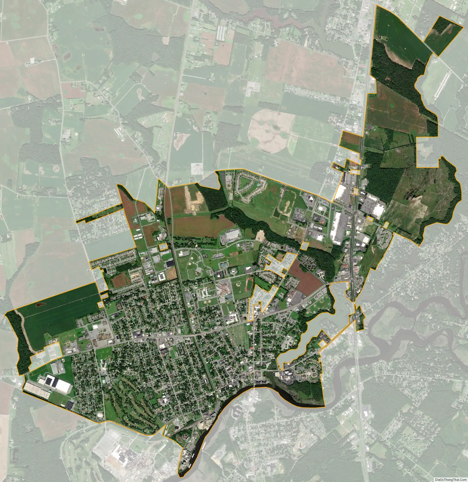
Seaford city Satellite Map
Geography
According to the United States Census Bureau, the city has a total area of 3.5 square miles (9.1 km), of which 3.5 square miles (9.1 km) is land and 0.04 square miles (0.10 km) (1.14%) is water.
Climate
Situated on the Atlantic Coastal Plain, Seaford’s weather is moderated by the Atlantic Ocean. Seaford has a mild subtropical climate consisting of hot, humid summers and mild winters. The average daytime high in July is 87 °F (30.6 °C) and a low of 65 °F (18.3 °C); in January, the average high is 44 °F (6.7 °C) with an average low of 25 °F (-3.9 °C) The month of highest average rainfall is August with 5.59 inches (142.0 mm) of rain, while February is historically the driest month, receiving an average of only 3.17 inches (80.5 mm) of rain.
The highest official temperature ever recorded in Seaford was 104 °F (40.0 °C) on July 22, 2011, while the all-time low was -13 °F (-25.0 °C) on January 28, 1987.
According to the Köppen climate classification, Seaford has a humid subtropical climate (abbreviated Cfa).
See also
Map of Delaware State and its subdivision: Map of other states:- Alabama
- Alaska
- Arizona
- Arkansas
- California
- Colorado
- Connecticut
- Delaware
- District of Columbia
- Florida
- Georgia
- Hawaii
- Idaho
- Illinois
- Indiana
- Iowa
- Kansas
- Kentucky
- Louisiana
- Maine
- Maryland
- Massachusetts
- Michigan
- Minnesota
- Mississippi
- Missouri
- Montana
- Nebraska
- Nevada
- New Hampshire
- New Jersey
- New Mexico
- New York
- North Carolina
- North Dakota
- Ohio
- Oklahoma
- Oregon
- Pennsylvania
- Rhode Island
- South Carolina
- South Dakota
- Tennessee
- Texas
- Utah
- Vermont
- Virginia
- Washington
- West Virginia
- Wisconsin
- Wyoming


