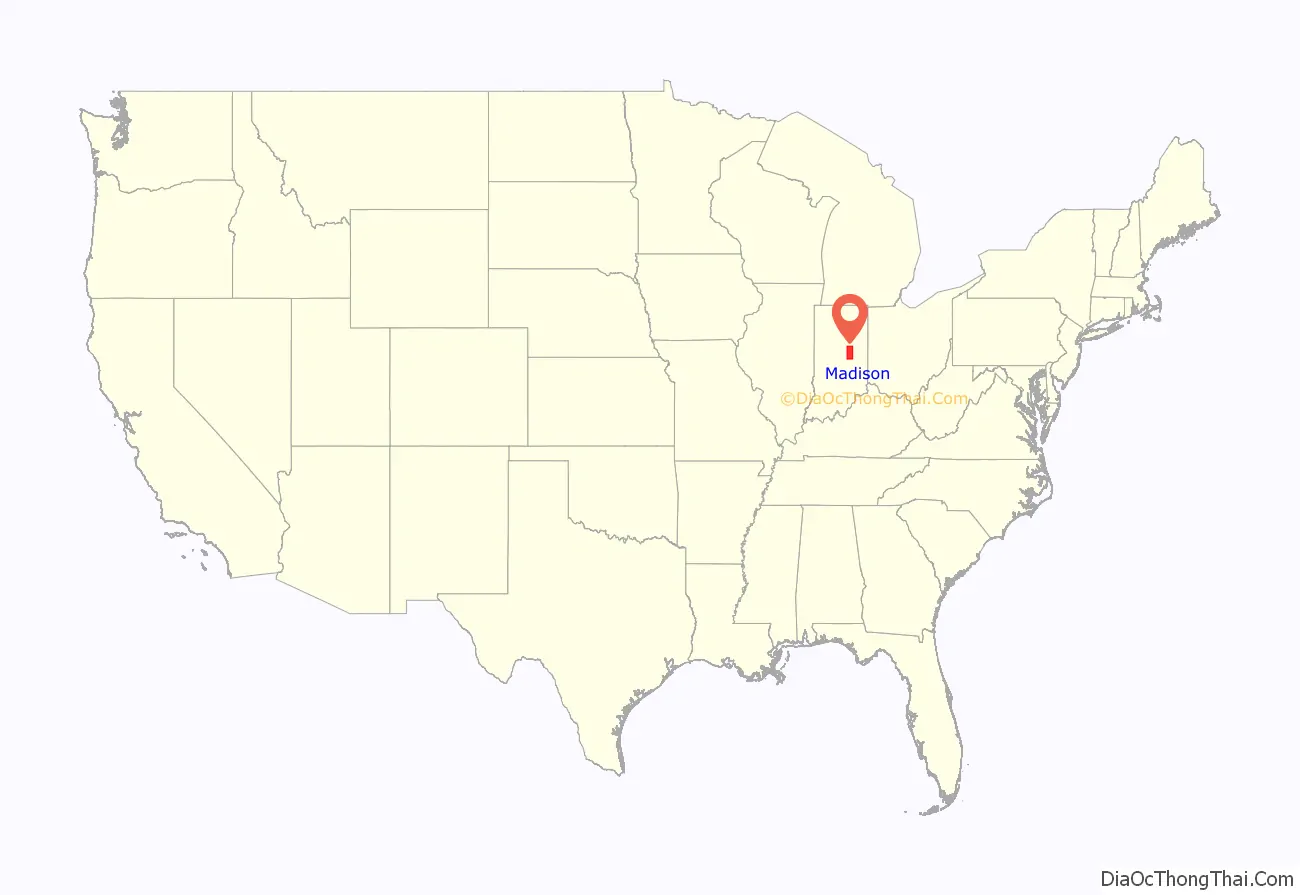
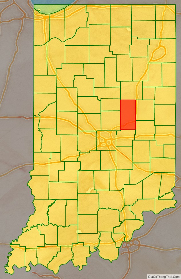
Madison County is a county in the U.S. state of Indiana. The 2020 census states the population is standing at 130,129. The county seat since 1836 has been Anderson, one of three incorporated cities within the county.
Madison County is included in the Indianapolis-Carmel-Anderson, IN Metropolitan Statistical Area.
| Name: | Madison County |
|---|---|
| FIPS code: | 18-095 |
| State: | Indiana |
| Founded: | 4 January 1823 (authorized) |
| Named for: | James Madison |
| Seat: | Anderson |
| Largest city: | Anderson |
| Total Area: | 452.90 sq mi (1,173.0 km²) |
| Land Area: | 451.92 sq mi (1,170.5 km²) |
| Total Population: | 130,129 |
| Population Density: | 286.7/sq mi (110.7/km²) |
Madison County location map. Where is Madison County?
History
In 1787, the fledgling United States defined the Northwest Territory, which included the area of present-day Indiana. In 1800, Congress separated Ohio from the Northwest Territory, designating the rest of the land as the Indiana Territory. President Thomas Jefferson chose William Henry Harrison as the territory’s first governor, and Vincennes was established as the territorial capital. After the Michigan Territory was separated and the Illinois Territory was formed, Indiana was reduced to its current size and geography. By December 1816 the Indiana Territory was admitted to the Union as a state.
Starting in 1794, Native American titles to Indiana lands were extinguished by usurpation, purchase, or war and treaty. The United States acquired land from the Native Americans in the 1809 treaty of Fort Wayne, and by the treaty of St. Mary’s in 1818 considerably more territory became property of the government. This included the future Madison County, which was authorized by the state legislature on 4 January 1823, designating areas covered by the Delaware New Purchase. No settler was allowed in the area until the government survey was completed in 1820, and in 1820 the first settlers entered the future county.
The new county was named for James Madison, co-author of The Federalist Papers and the fourth President of the United States (1809 to 1817). The then-small settlement of Pendleton was named as the county, but its non-central location soon fostered a desire for a more central location as the county seat. After considerable local competition, the town of Anderson was platted in 1827 on donated land with the stipulation that the seat be moved to that location. This move began in 1828 and was completed by 1836.
The new county was completely wooded in 1820, with stands of white oak, poplar, walnut, sycamore, oak, and fir trees. The settlers logged much of the area and cleared the remainder through burning; at present its terrain is completely devoted to agriculture or urban development, except for stands of brush in drainages.
The county’s first courthouse was authorized in the county’s 1828 session, but this authorization was revoked in 1829. In 1831 a second authorization was passed, and the completed building was placed in service the following year.
During the Indiana gas boom, natural gas deposits were discovered in the county in 1887, at Alexandria, and Anderson. The offer of free natural gas brought several factories to the county.
Madison County Road Map
Geography
The county’s terrain is nearly flat, with the exception of hilly areas along the White River and Fall Creek. The highest terrain (around 1,010 feet/310 meters ASL) is a ridgeline at the county’s SE corner. The county is drained by the west branch of the White River, flowing west-southwestward through the county’s lower central portion. Other drainages include Fall Creek, flowing west- and southwestward through the southern part of the county; Pipe Creek, which rises in Delaware County and flows southwestward through the county’s NW corner; and Lick Creek, which rises in Henry County and flows westward through the county’s SW portion.
According to the 2010 United States Census, the county has a total area of 452.90 square miles (1,173.0 km), of which 451.92 square miles (1,170.5 km) (or 99.78%) is land and 0.99 square miles (2.6 km) (or 0.22%) is water.
Adjacent counties
- Grant County – north
- Delaware County – east
- Henry County – southeast
- Hancock County – south
- Hamilton County – west
- Tipton County – northwest
Protected areas
- Mounds State Park
Cities
- Alexandria
- Anderson (county seat)
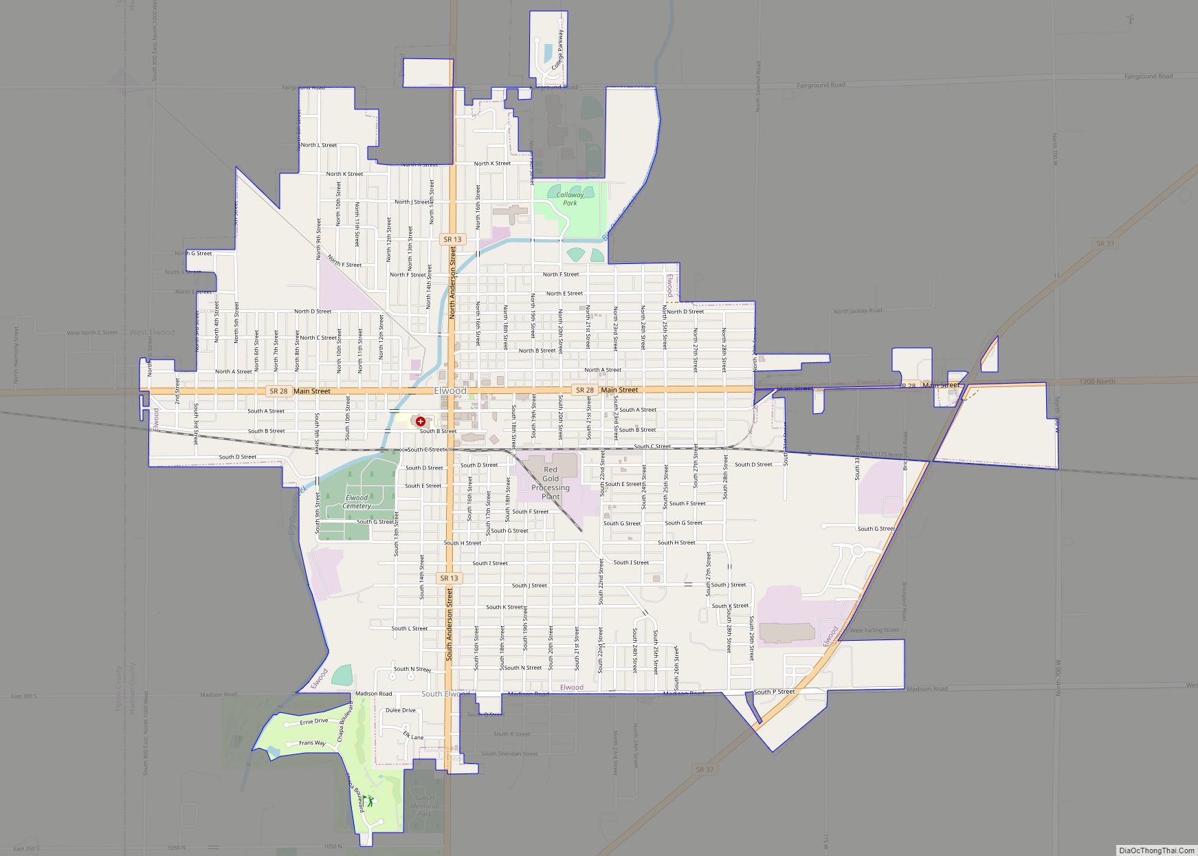
- Elwood (part)
Towns
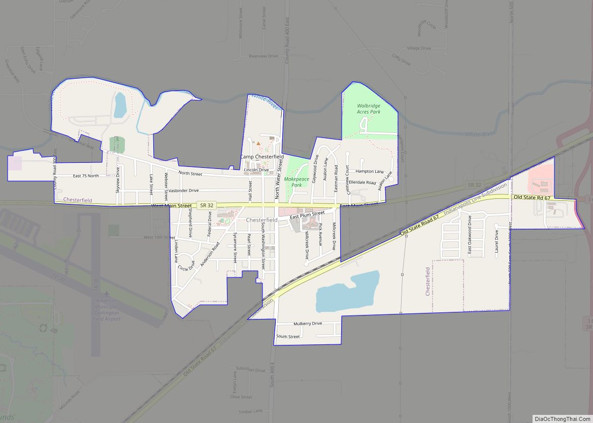
- Chesterfield
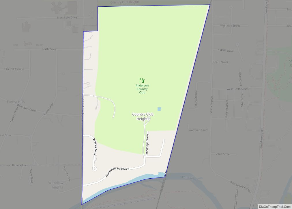
- Country Club Heights
- Edgewood
- Frankton
- Ingalls
- Lapel
- Markleville
- Orestes
- Pendleton
- River Forest
- Summitville
Unincorporated towns
- Alfont
- Alliance
- Bloomer
- College Corner
- Dundee
- Edgewood Village
- Emporia
- Fishersburg
- Florida
- Gimco City
- Hamilton
- Hardscrabble
- Huntsville
- Idlewold
- Leisure
- Linwood
- Moonville
- New Columbus (also known as Ovid)
- North Anderson
- Ovid (also known as New Columbus)
- Perkinsville
- Prosperity
- Rigdon
- South Elwood
- Sunview
- Woodlawn Heights
Townships
- Adams
- Anderson
- Boone
- Duck Creek
- Fall Creek
- Green
- Jackson
- Lafayette
- Monroe
- Pipe Creek
- Richland
- Stony Creek
- Union
- Van Buren
Major highways
- Interstate 69
- U.S. Route 36
- State Road 9
- State Road 13
- State Road 28
- State Road 32
- State Road 37
- State Road 38
- State Road 67
- State Road 109
- State Road 128
- State Road 232
- State Road 236
Railroads
- Central Indiana and Western Railroad
- CSX Transportation
- Indian Creek Railroad
- Norfolk Southern Railway
