Pendleton is a town in Fall Creek Township, Madison County, Indiana, United States. The population was 4,717 at the 2020 census, up from 4,253 in 2010.
| Name: | Pendleton town |
|---|---|
| LSAD Code: | 43 |
| LSAD Description: | town (suffix) |
| State: | Indiana |
| County: | Madison County |
| Elevation: | 846 ft (258 m) |
| Total Area: | 13.43 sq mi (34.79 km²) |
| Land Area: | 13.36 sq mi (34.61 km²) |
| Water Area: | 0.07 sq mi (0.18 km²) |
| Total Population: | 4,717 |
| Population Density: | 352.99/sq mi (136.29/km²) |
| ZIP code: | 46064 |
| Area code: | 765 |
| FIPS code: | 1858662 |
| GNISfeature ID: | 0440989 |
| Website: | town.pendleton.in.us |
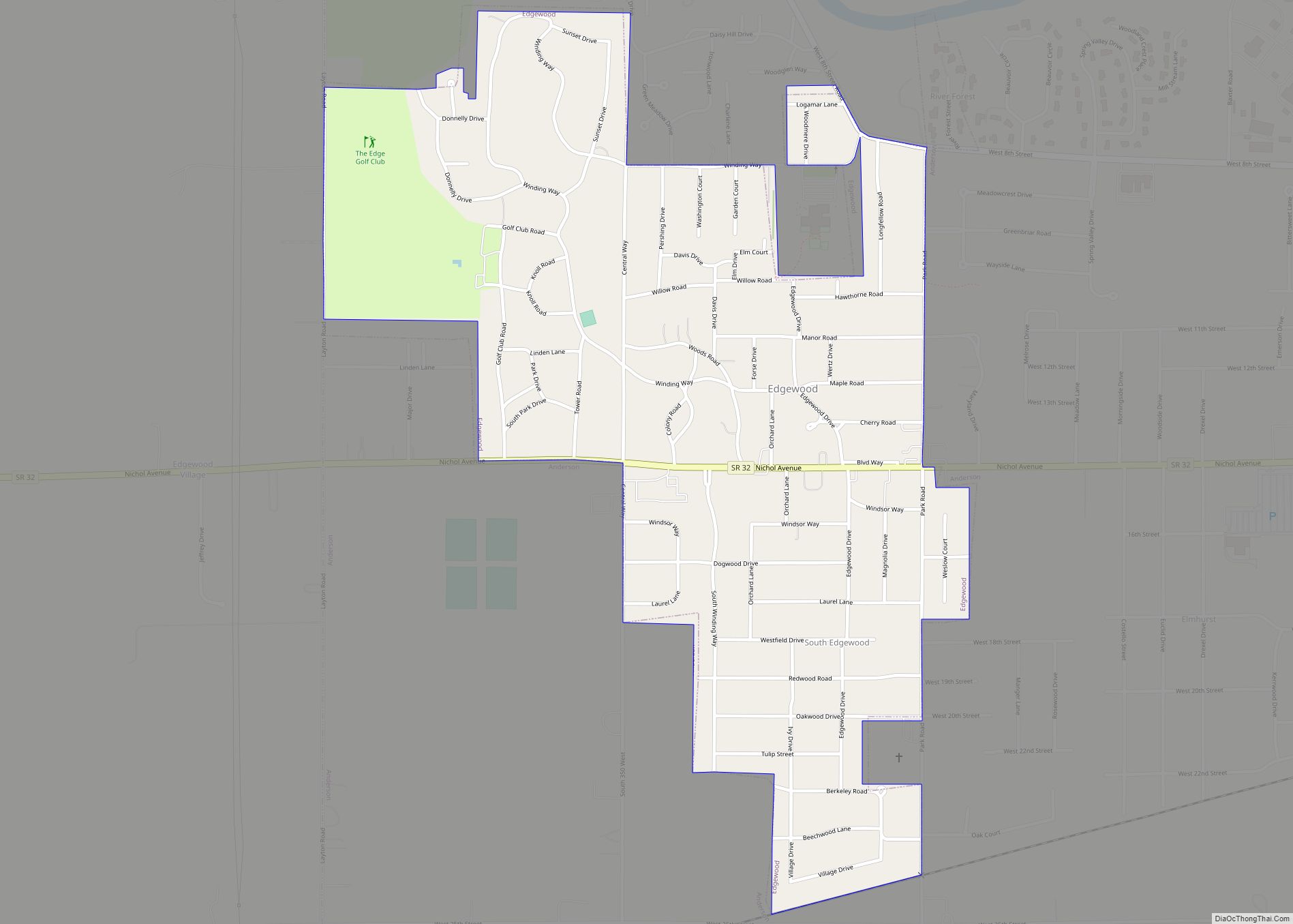
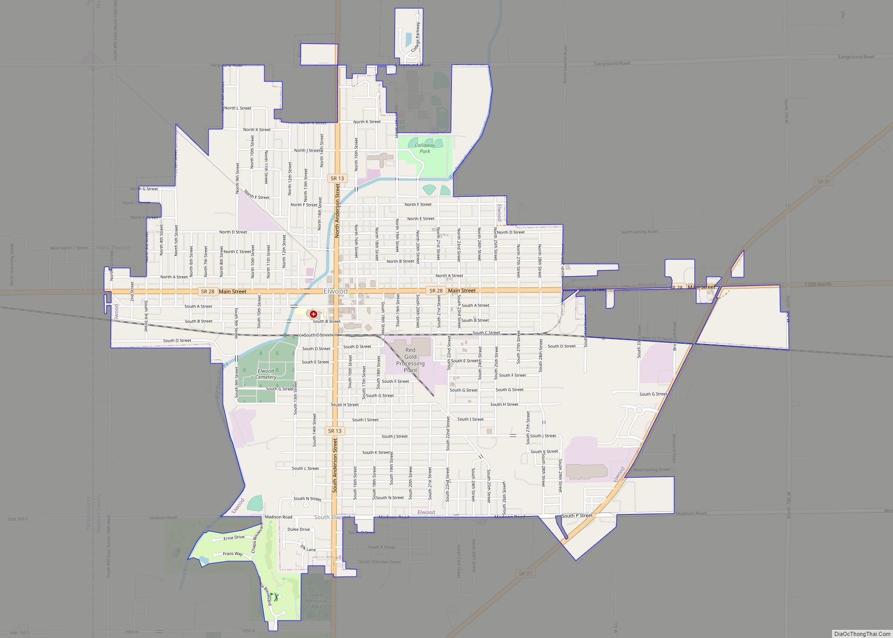
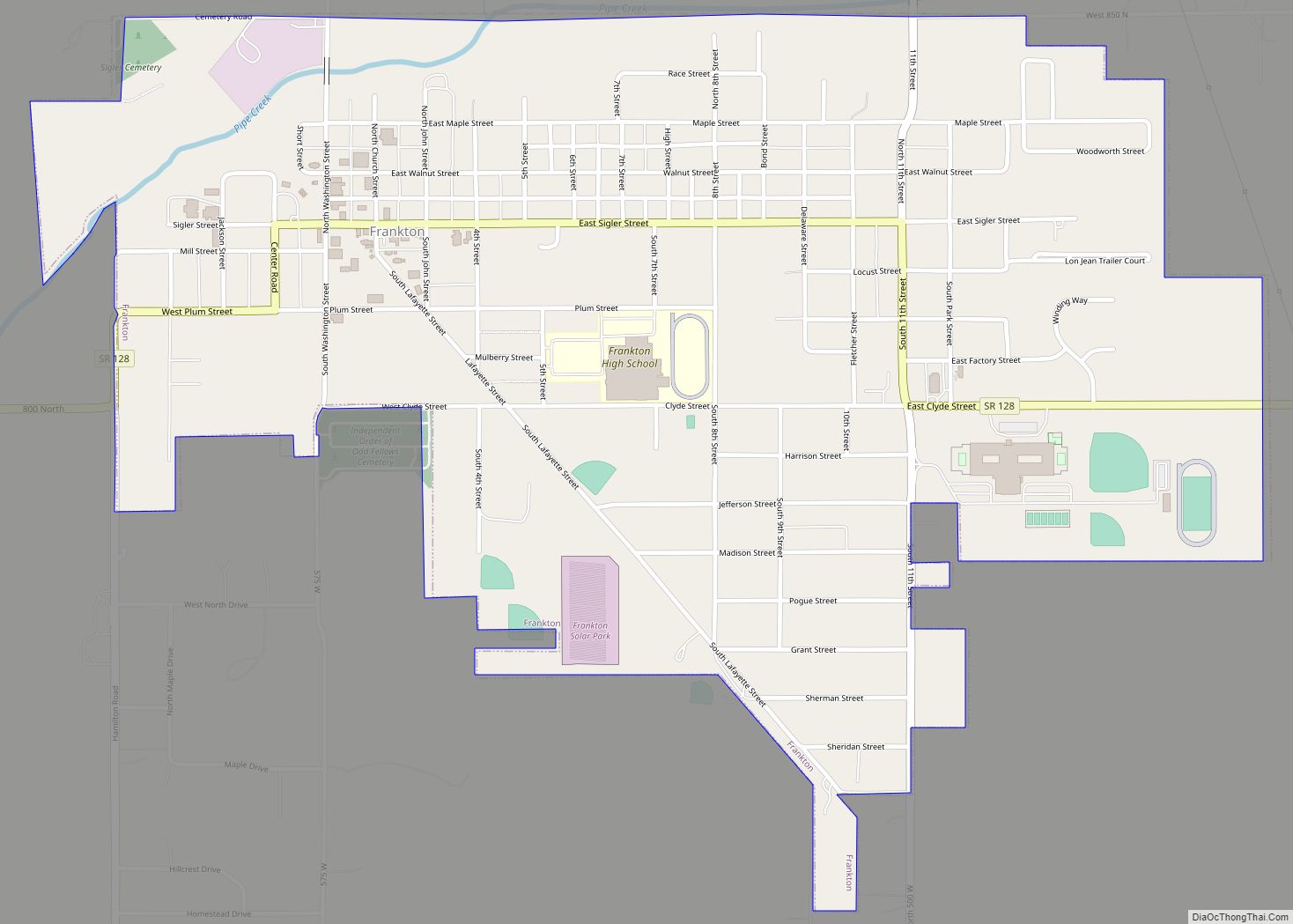
Online Interactive Map
Click on ![]() to view map in "full screen" mode.
to view map in "full screen" mode.
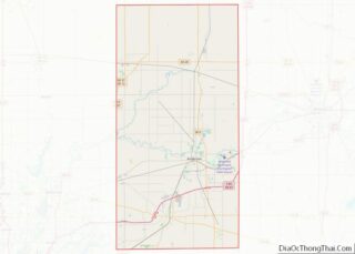
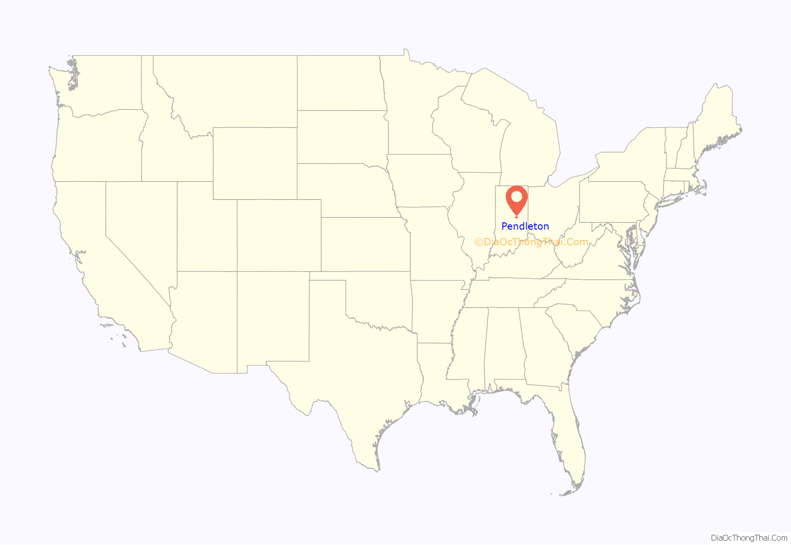
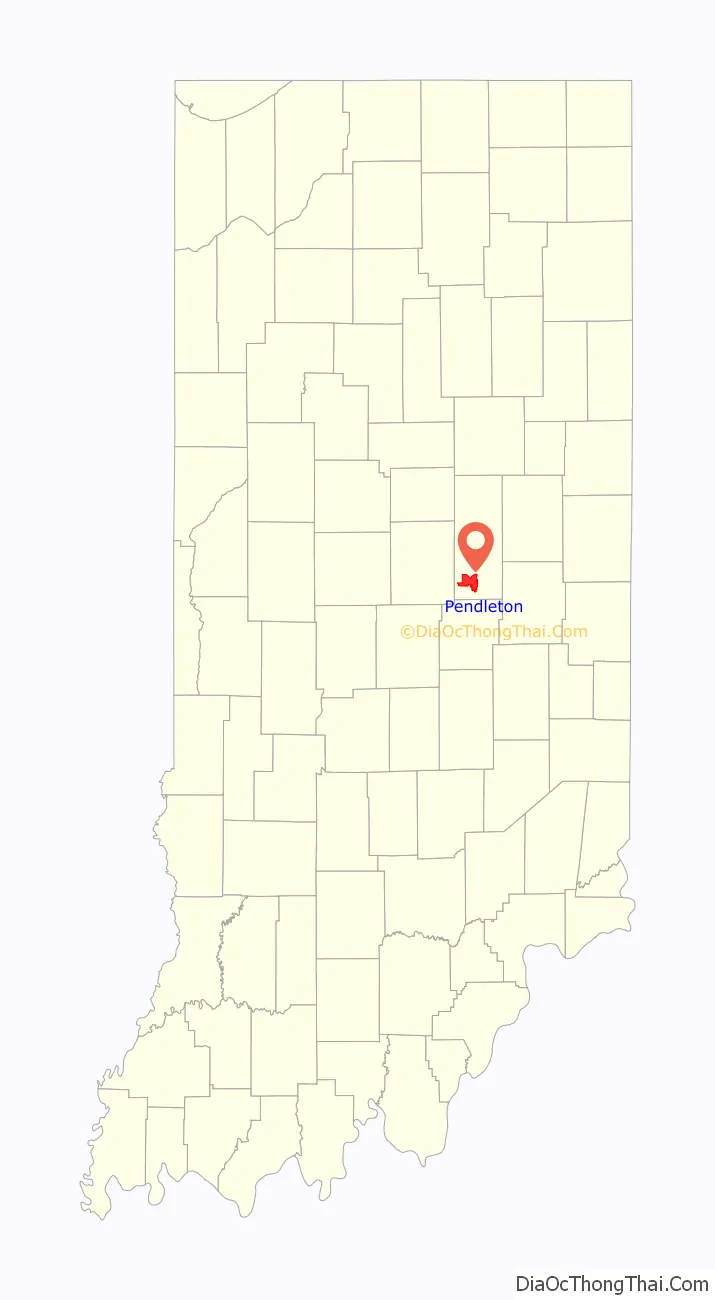
Pendleton location map. Where is Pendleton town?
History
Pendleton was platted in 1830, and incorporated as a town in 1854. It was named for town founder Thomas Pendleton.
Fall Creek Massacre
The Fall Creek Massacre is the name given to the brutal murders of a peaceful group of Seneca and Miami Indians by white settlers. The massacre occurred on March 22, 1824, in Madison County between Fall Creek and Deer Lick Creek. James Hudson’s trial was held October 7–9, 1824. Trials of the other men were held in 1825. The trial set an important precedent in recognizing the civil rights of Native Americans. The three men were hanged for their crimes in Pendleton. This marked the first time white men were executed for the murder of Native Americans in the United States. A historical marker in Falls Park marks the place of the hanging. The inscription reads: “Three white men were hung here in 1825 for killing Indians.”
Attack on Frederick Douglass
Frederick Douglass wrote of being attacked by a mob as he promoted the Abolition cause in 1843. His party had erected a platform in nearby woods. A crowd of “rough characters”, largely from “Andersonville”, tried to silence them, then severely beat them. He defended himself with a stick, but was knocked unconscious. He was nursed back to health over days by the Quaker Neal Hardy and his wife. Douglass never regained full use of his injured hand.
2019 tornado
Pendleton was struck by a strong tornado during the evening of May 27, 2019, during a major tornado outbreak. Moderate damage was reported to the town, with search and rescue efforts beginning that night. The tornado received a rating of high-end EF-2, with winds of 130 miles per hour (210 km/h).
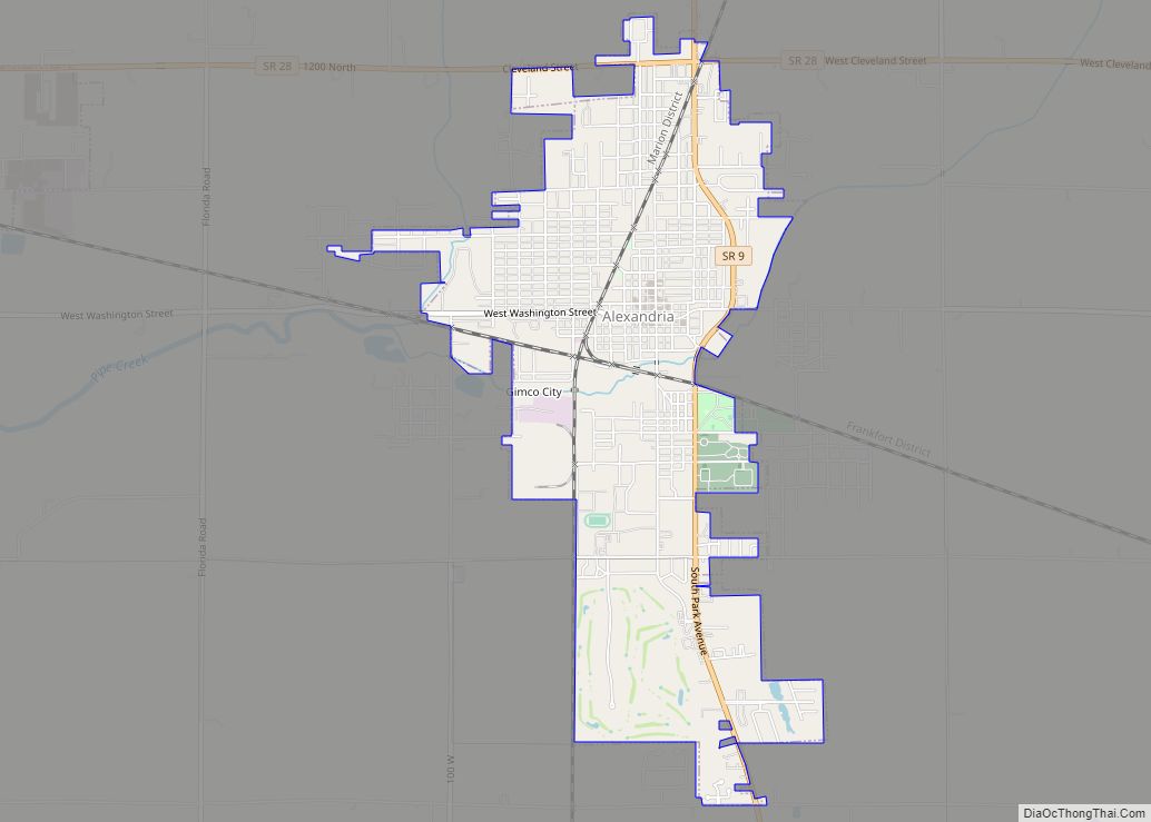
Pendleton Road Map
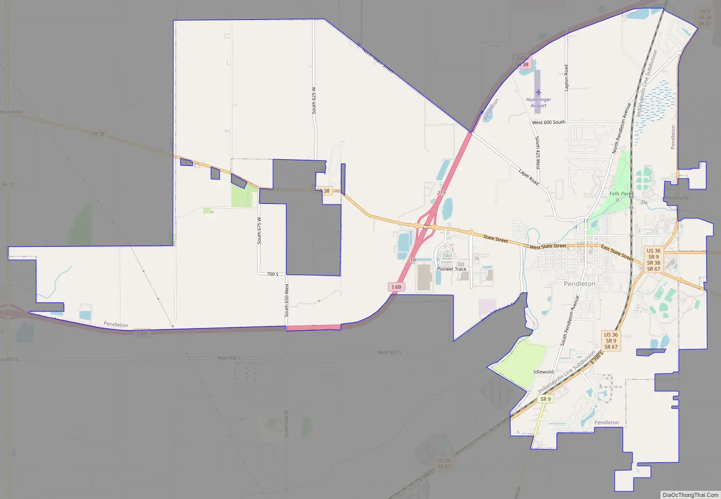
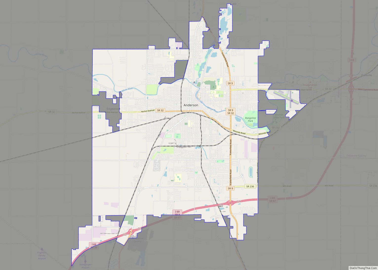
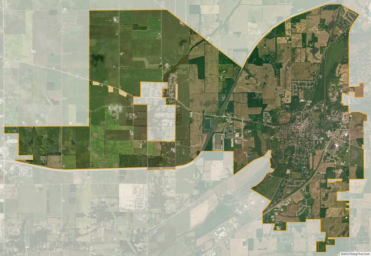
Pendleton city Satellite Map
Geography
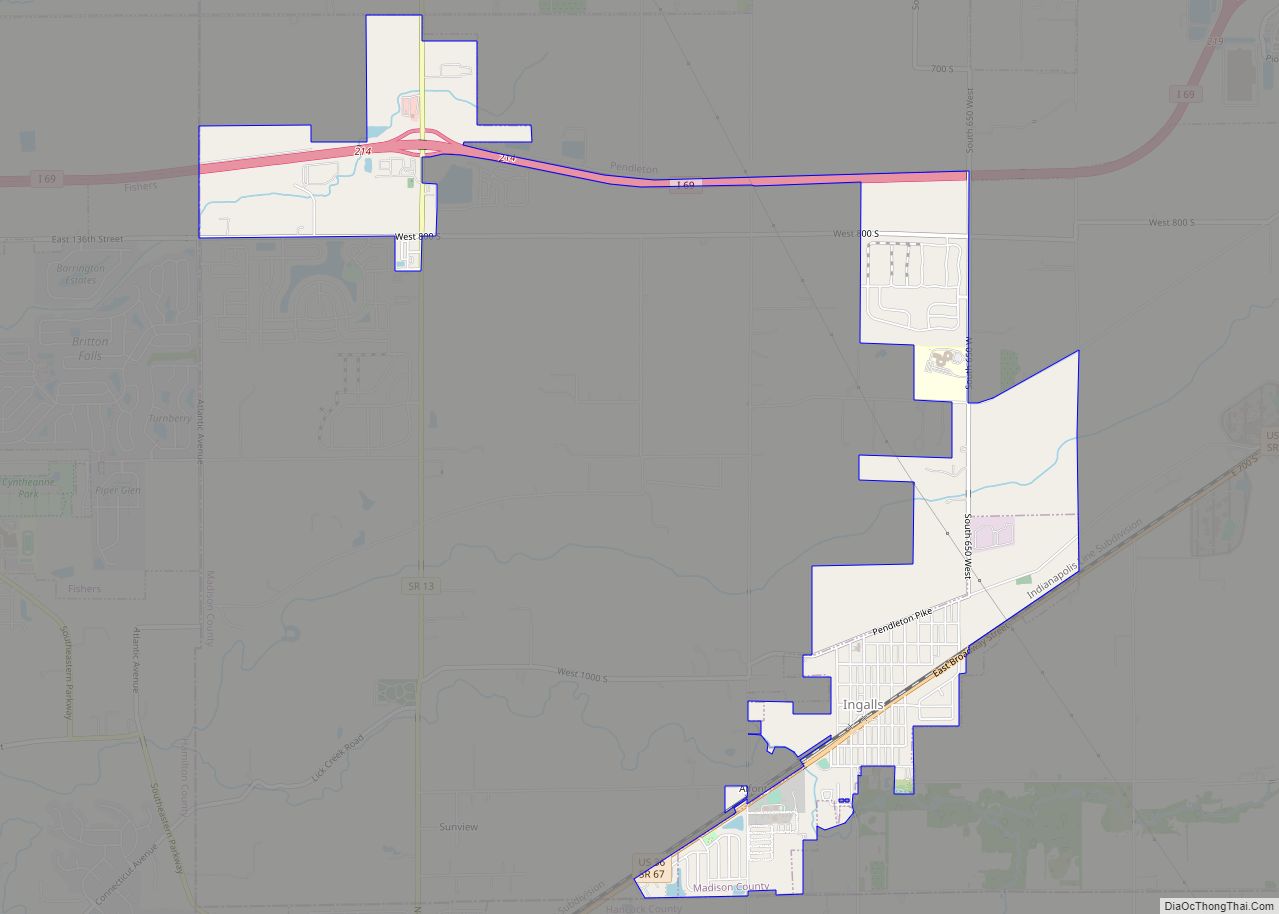
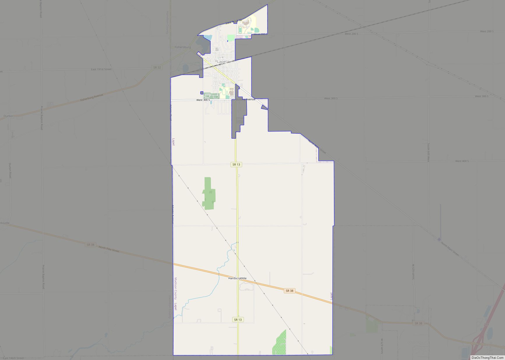
Pendleton is located in southern Madison County at 40°0′10″N 85°44′48″W / 40.00278°N 85.74667°W / 40.00278; -85.74667 (40.002841, -85.746576). It is bordered to the north by the city of Anderson, the county seat. It is bordered to the west by the town of Lapel and to the southwest by the town of Ingalls.
Interstate 69 passes through the west side of the town and travels along its northern border, with access from Exits 219 and 222. I-69 leads southwest 30 miles (48 km) to Indianapolis and north-northeast 91 miles (146 km) to Fort Wayne. U.S. Route 36 passes through the southeast side of Pendleton, leading southwest to Indianapolis and east 62 miles (100 km) to Greenville, Ohio. Indiana State Road 9 passes through the east side of Pendleton, leading north 10 miles (16 km) to Anderson and south 15 miles (24 km) to Greenfield. State Road 38 passes through the center of Pendleton as State Street, leading east-southeast 21 miles (34 km) to New Castle and west-northwest 14 miles (23 km) to Noblesville. State Road 132 (Lapel Road) leads northwest from Pendleton 7 miles (11 km) to Lapel.
According to the U.S. Census Bureau, Pendleton has a total area of 13.43 square miles (34.78 km), of which 0.07 square miles (0.18 km), or 0.52%, are water. Fall Creek passes through the town west of its center, flowing southwest to the White River in Indianapolis.
See also
Map of Indiana State and its subdivision:- Adams
- Allen
- Bartholomew
- Benton
- Blackford
- Boone
- Brown
- Carroll
- Cass
- Clark
- Clay
- Clinton
- Crawford
- Daviess
- De Kalb
- Dearborn
- Decatur
- Delaware
- Dubois
- Elkhart
- Fayette
- Floyd
- Fountain
- Franklin
- Fulton
- Gibson
- Grant
- Greene
- Hamilton
- Hancock
- Harrison
- Hendricks
- Henry
- Howard
- Huntington
- Jackson
- Jasper
- Jay
- Jefferson
- Jennings
- Johnson
- Knox
- Kosciusko
- LaGrange
- Lake
- Lake Michigan
- LaPorte
- Lawrence
- Madison
- Marion
- Marshall
- Martin
- Miami
- Monroe
- Montgomery
- Morgan
- Newton
- Noble
- Ohio
- Orange
- Owen
- Parke
- Perry
- Pike
- Porter
- Posey
- Pulaski
- Putnam
- Randolph
- Ripley
- Rush
- Saint Joseph
- Scott
- Shelby
- Spencer
- Starke
- Steuben
- Sullivan
- Switzerland
- Tippecanoe
- Tipton
- Union
- Vanderburgh
- Vermillion
- Vigo
- Wabash
- Warren
- Warrick
- Washington
- Wayne
- Wells
- White
- Whitley
- Alabama
- Alaska
- Arizona
- Arkansas
- California
- Colorado
- Connecticut
- Delaware
- District of Columbia
- Florida
- Georgia
- Hawaii
- Idaho
- Illinois
- Indiana
- Iowa
- Kansas
- Kentucky
- Louisiana
- Maine
- Maryland
- Massachusetts
- Michigan
- Minnesota
- Mississippi
- Missouri
- Montana
- Nebraska
- Nevada
- New Hampshire
- New Jersey
- New Mexico
- New York
- North Carolina
- North Dakota
- Ohio
- Oklahoma
- Oregon
- Pennsylvania
- Rhode Island
- South Carolina
- South Dakota
- Tennessee
- Texas
- Utah
- Vermont
- Virginia
- Washington
- West Virginia
- Wisconsin
- Wyoming