Alexandria is a city in Monroe Township, Madison County, Indiana, United States. It is about 48 miles (77 km) northeast of Indianapolis. According to the 2020 census, its population was 5,149, nearly unchanged from 2010.
| Name: | Alexandria city |
|---|---|
| LSAD Code: | 25 |
| LSAD Description: | city (suffix) |
| State: | Indiana |
| County: | Madison County |
| Elevation: | 869 ft (265 m) |
| Total Area: | 3.02 sq mi (7.83 km²) |
| Land Area: | 3.02 sq mi (7.83 km²) |
| Water Area: | 0.00 sq mi (0.00 km²) |
| Total Population: | 5,149 |
| Population Density: | 1,702.15/sq mi (657.25/km²) |
| ZIP code: | 46001 |
| Area code: | 765 |
| FIPS code: | 1800910 |
| GNISfeature ID: | 0430066 |
| Website: | www.in.gov/cities/alexandria |
Online Interactive Map
Click on ![]() to view map in "full screen" mode.
to view map in "full screen" mode.
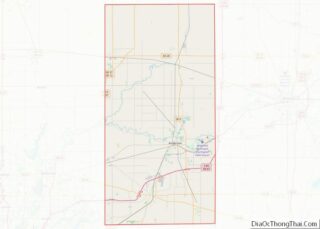
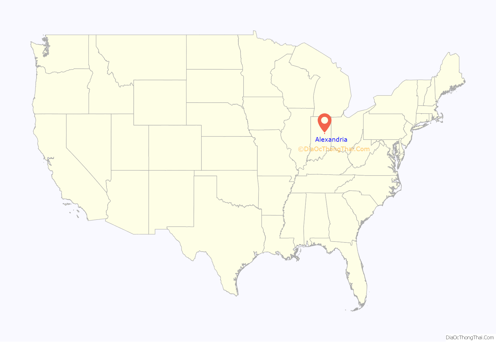
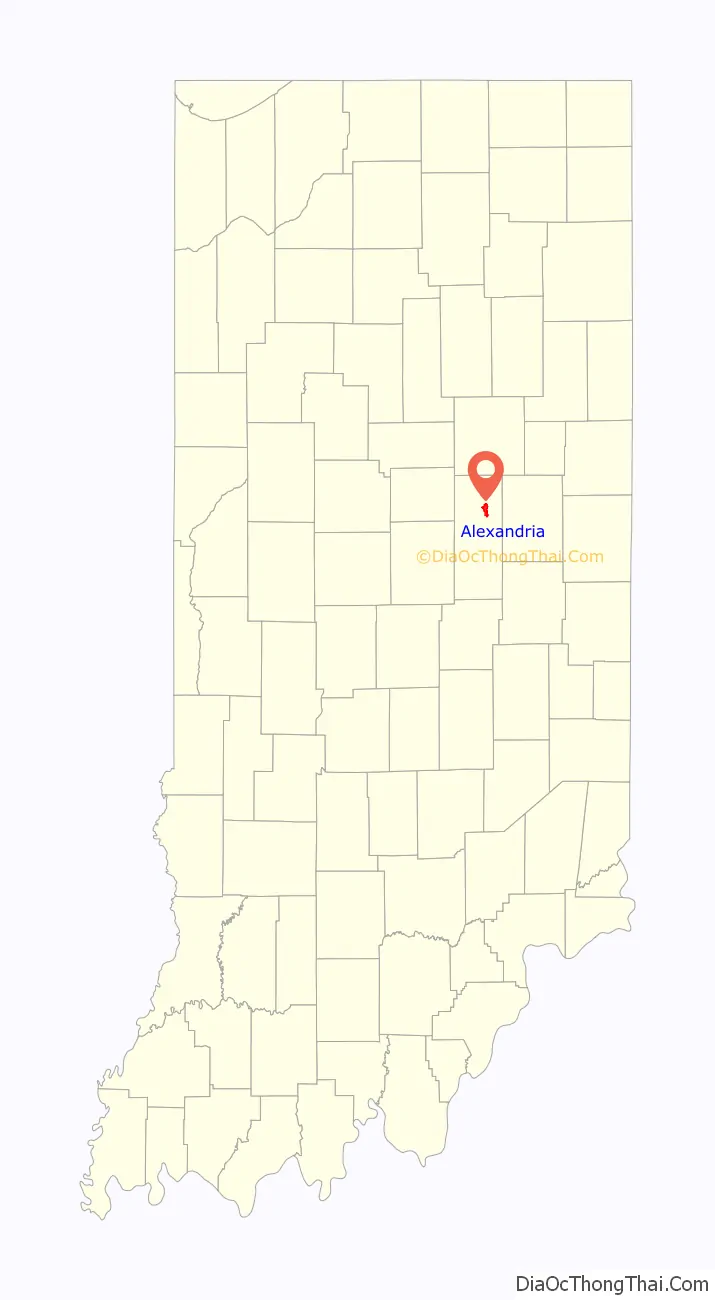
Alexandria location map. Where is Alexandria city?
History
Alexandria was platted in 1836, when it was certain that the Indiana Central Canal would be extended to that point. It was incorporated as a town in 1898.
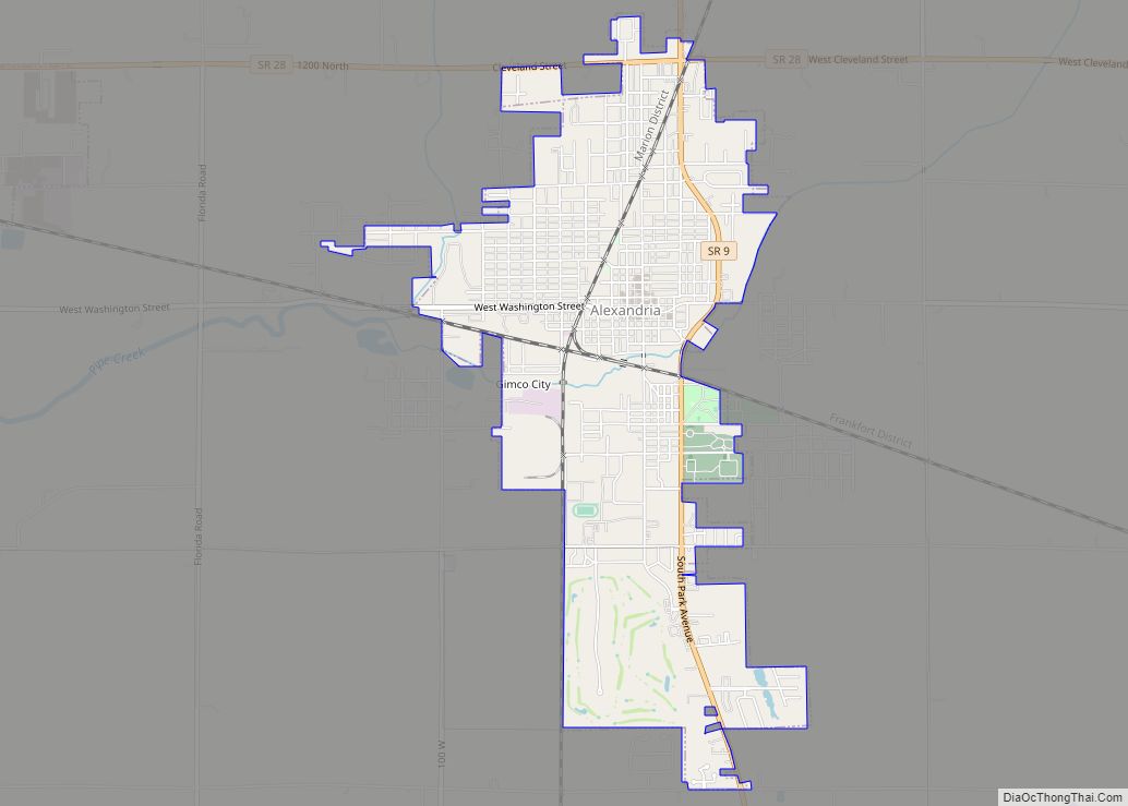
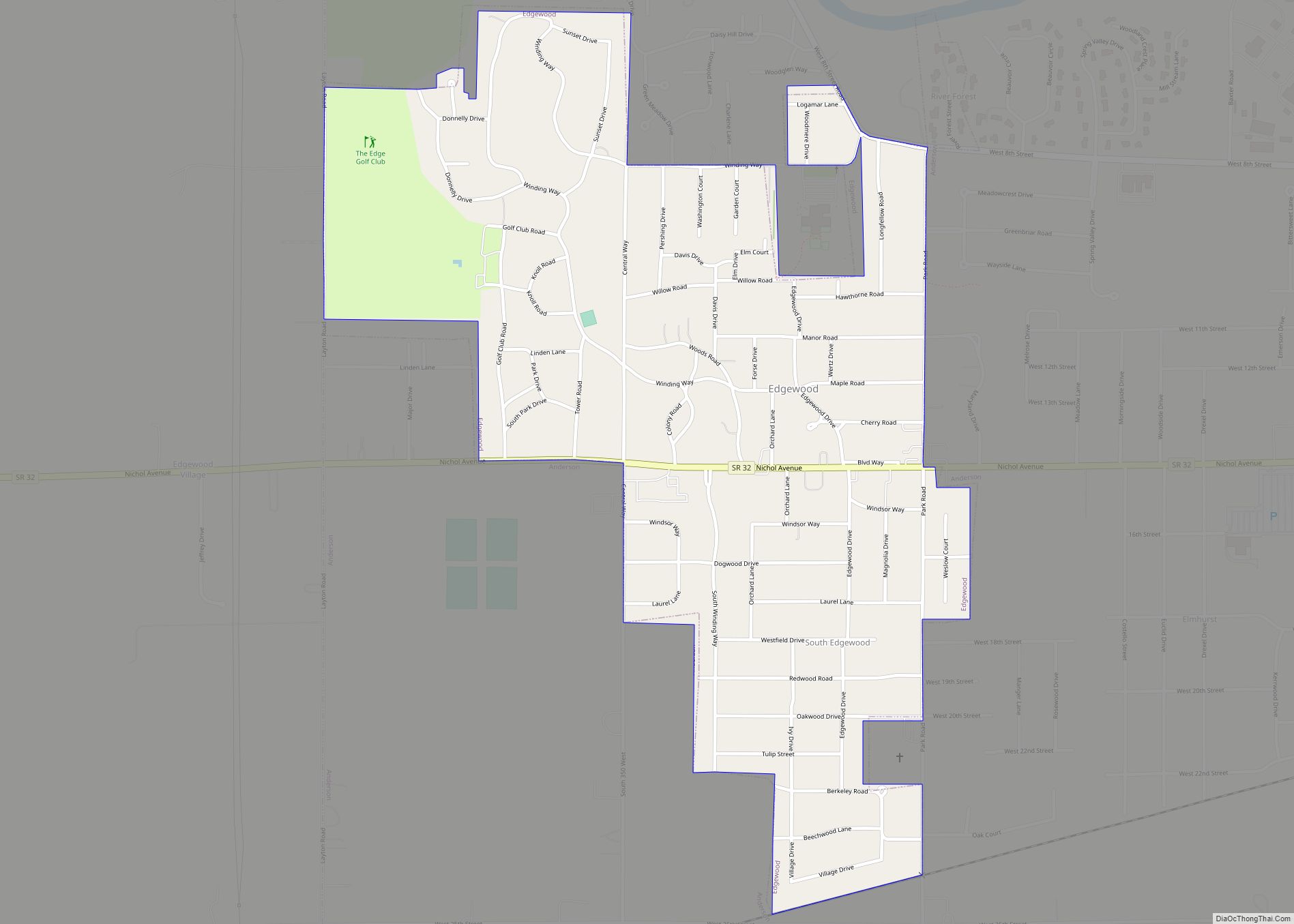
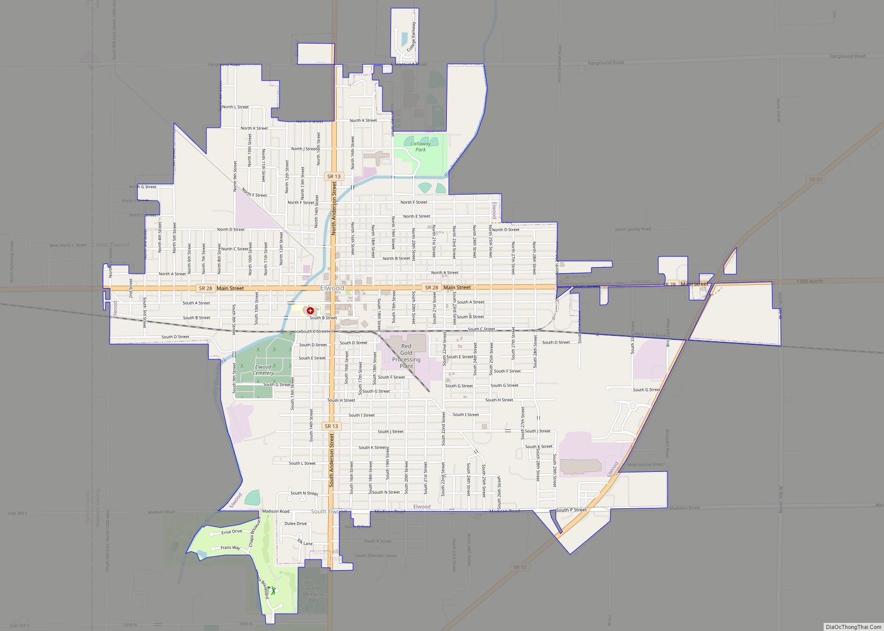
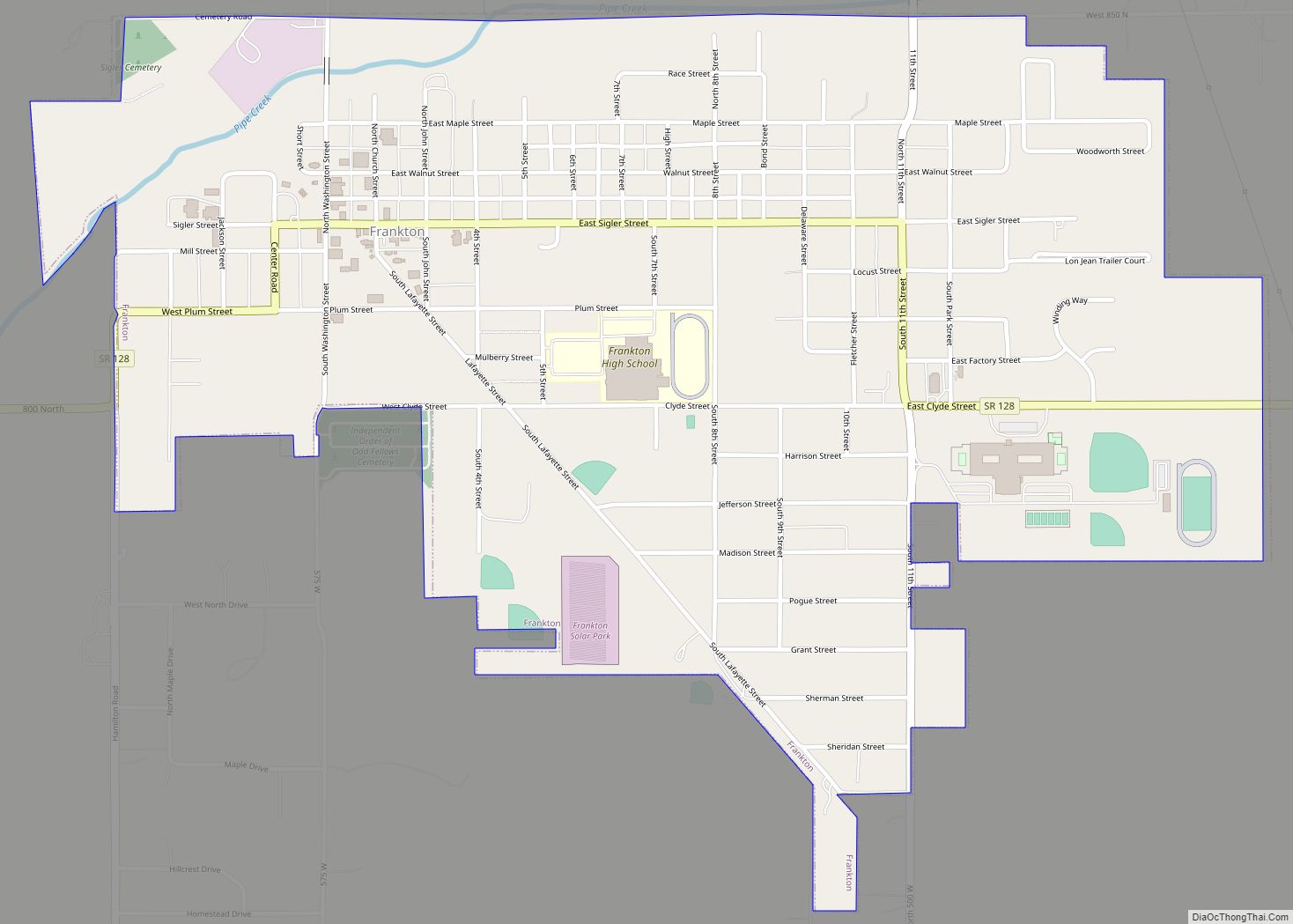
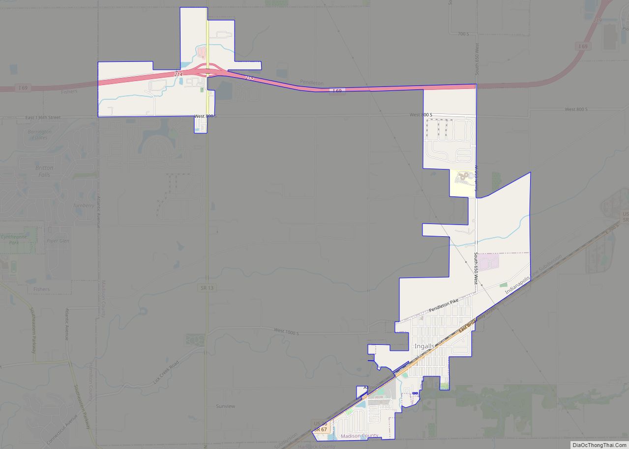
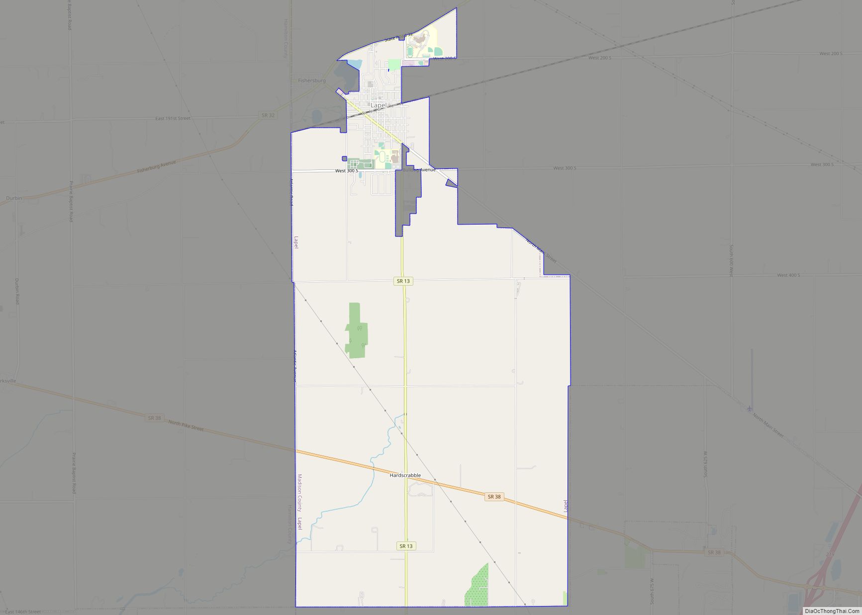
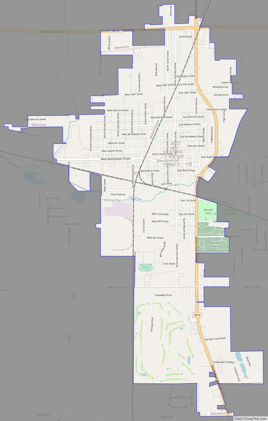
Alexandria Road Map
Alexandria city Satellite Map
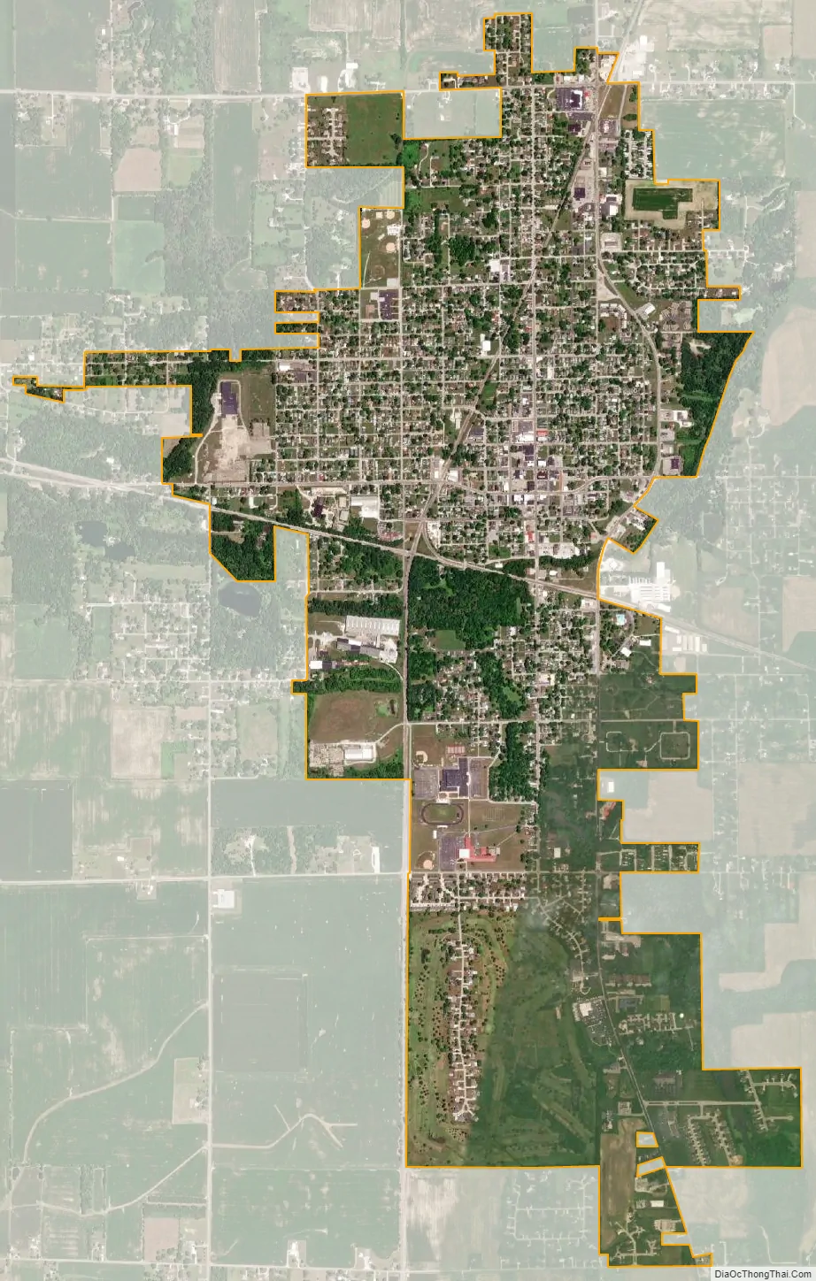
Geography
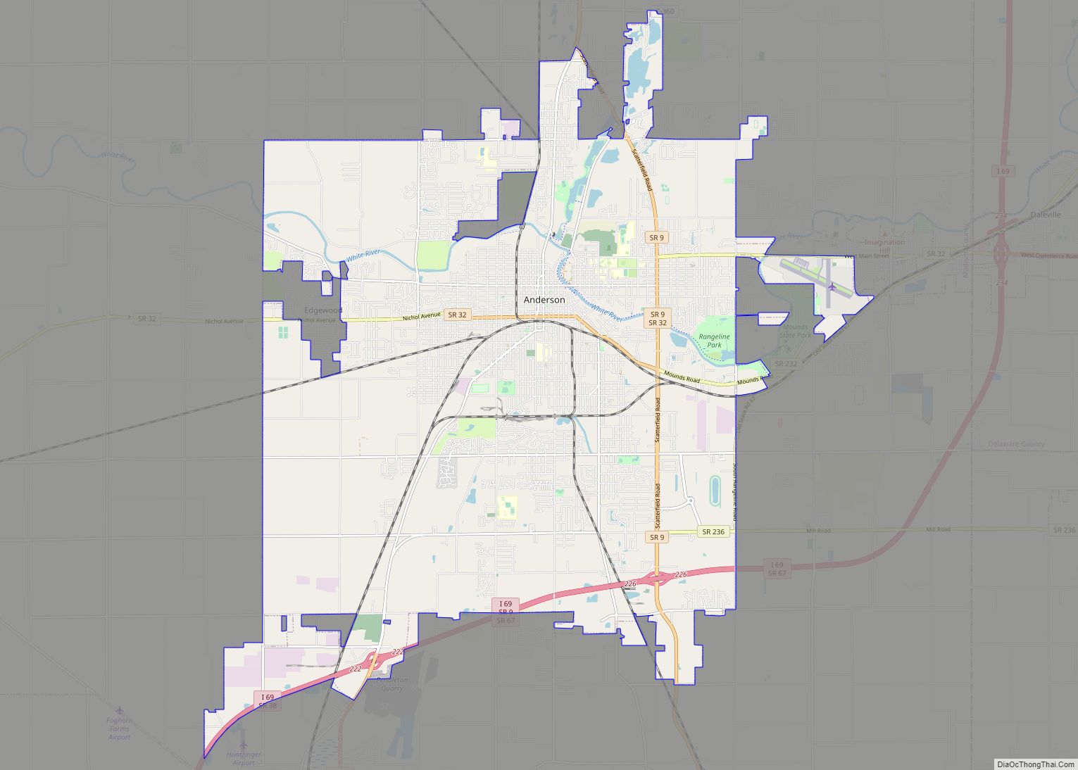
Alexandria is located in northern Madison County at 40°15′47″N 85°40′35″W / 40.26306°N 85.67639°W / 40.26306; -85.67639Coordinates: 40°15′47″N 85°40′35″W / 40.26306°N 85.67639°W / 40.26306; -85.67639. Indiana State Road 9 passes through the east side of the city, leading south 11 miles (18 km) to Anderson, the county seat, and north 21 miles (34 km) to Marion. State Road 28 crosses the northern tip of Alexandria, leading west 9 miles (14 km) to Elwood and east 23 miles (37 km) to Albany.
According to the U.S. Census Bureau, Alexandria has a total area of 3.0 square miles (7.8 km), all land. Pipe Creek crosses the city south of its center, flowing southwest to join the White River at Perkinsville.
See also
Map of Indiana State and its subdivision:- Adams
- Allen
- Bartholomew
- Benton
- Blackford
- Boone
- Brown
- Carroll
- Cass
- Clark
- Clay
- Clinton
- Crawford
- Daviess
- De Kalb
- Dearborn
- Decatur
- Delaware
- Dubois
- Elkhart
- Fayette
- Floyd
- Fountain
- Franklin
- Fulton
- Gibson
- Grant
- Greene
- Hamilton
- Hancock
- Harrison
- Hendricks
- Henry
- Howard
- Huntington
- Jackson
- Jasper
- Jay
- Jefferson
- Jennings
- Johnson
- Knox
- Kosciusko
- LaGrange
- Lake
- Lake Michigan
- LaPorte
- Lawrence
- Madison
- Marion
- Marshall
- Martin
- Miami
- Monroe
- Montgomery
- Morgan
- Newton
- Noble
- Ohio
- Orange
- Owen
- Parke
- Perry
- Pike
- Porter
- Posey
- Pulaski
- Putnam
- Randolph
- Ripley
- Rush
- Saint Joseph
- Scott
- Shelby
- Spencer
- Starke
- Steuben
- Sullivan
- Switzerland
- Tippecanoe
- Tipton
- Union
- Vanderburgh
- Vermillion
- Vigo
- Wabash
- Warren
- Warrick
- Washington
- Wayne
- Wells
- White
- Whitley
- Alabama
- Alaska
- Arizona
- Arkansas
- California
- Colorado
- Connecticut
- Delaware
- District of Columbia
- Florida
- Georgia
- Hawaii
- Idaho
- Illinois
- Indiana
- Iowa
- Kansas
- Kentucky
- Louisiana
- Maine
- Maryland
- Massachusetts
- Michigan
- Minnesota
- Mississippi
- Missouri
- Montana
- Nebraska
- Nevada
- New Hampshire
- New Jersey
- New Mexico
- New York
- North Carolina
- North Dakota
- Ohio
- Oklahoma
- Oregon
- Pennsylvania
- Rhode Island
- South Carolina
- South Dakota
- Tennessee
- Texas
- Utah
- Vermont
- Virginia
- Washington
- West Virginia
- Wisconsin
- Wyoming