Orestes is a town in Monroe Township, Madison County, Indiana, United States. It is part of the Indianapolis–Carmel–Anderson metropolitan statistical area. The population was 329 at the 2020 census, down from 414 in 2010.
| Name: | Orestes town |
|---|---|
| LSAD Code: | 43 |
| LSAD Description: | town (suffix) |
| State: | Indiana |
| County: | Madison County |
| Elevation: | 873 ft (266 m) |
| Total Area: | 0.40 sq mi (1.04 km²) |
| Land Area: | 0.40 sq mi (1.04 km²) |
| Water Area: | 0.00 sq mi (0.00 km²) |
| Total Population: | 329 |
| Population Density: | 816.38/sq mi (315.01/km²) |
| ZIP code: | 46063 |
| Area code: | 765 |
| FIPS code: | 1856952 |
| GNISfeature ID: | 0440695 |
| Website: | www.townoforestes.org |
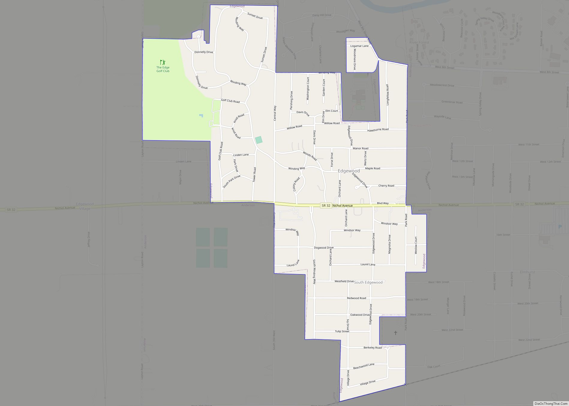
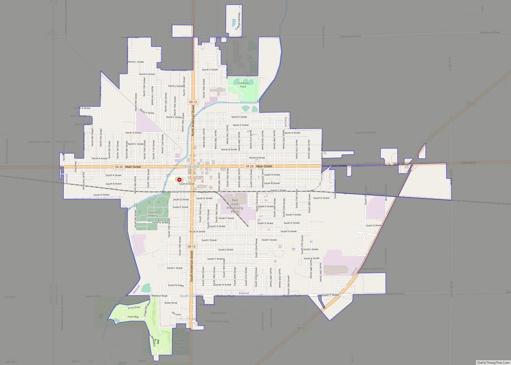
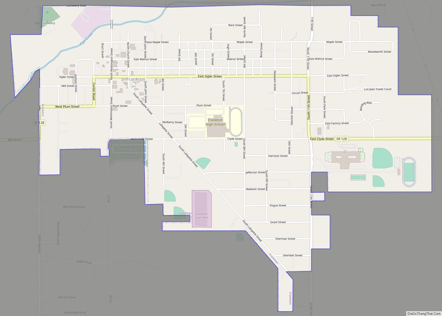
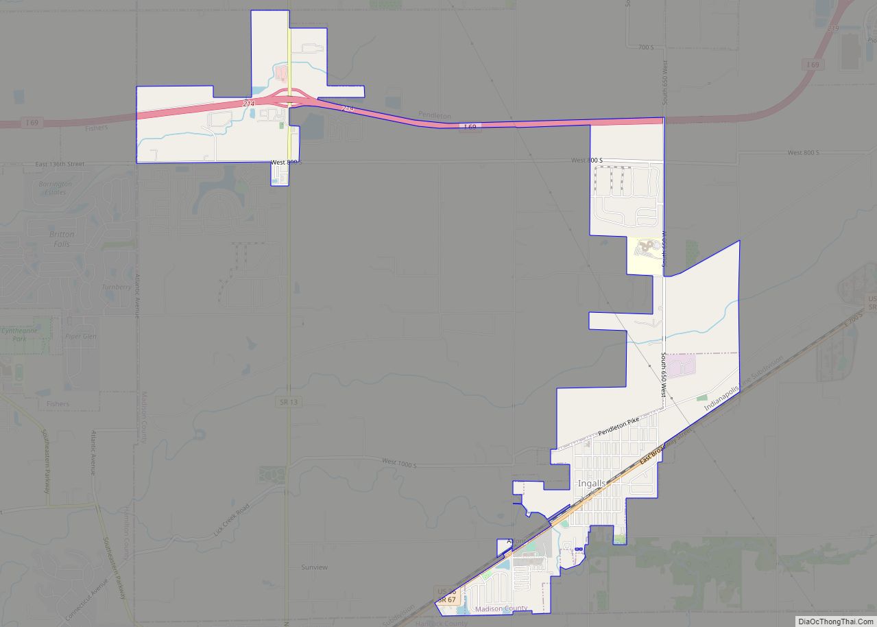
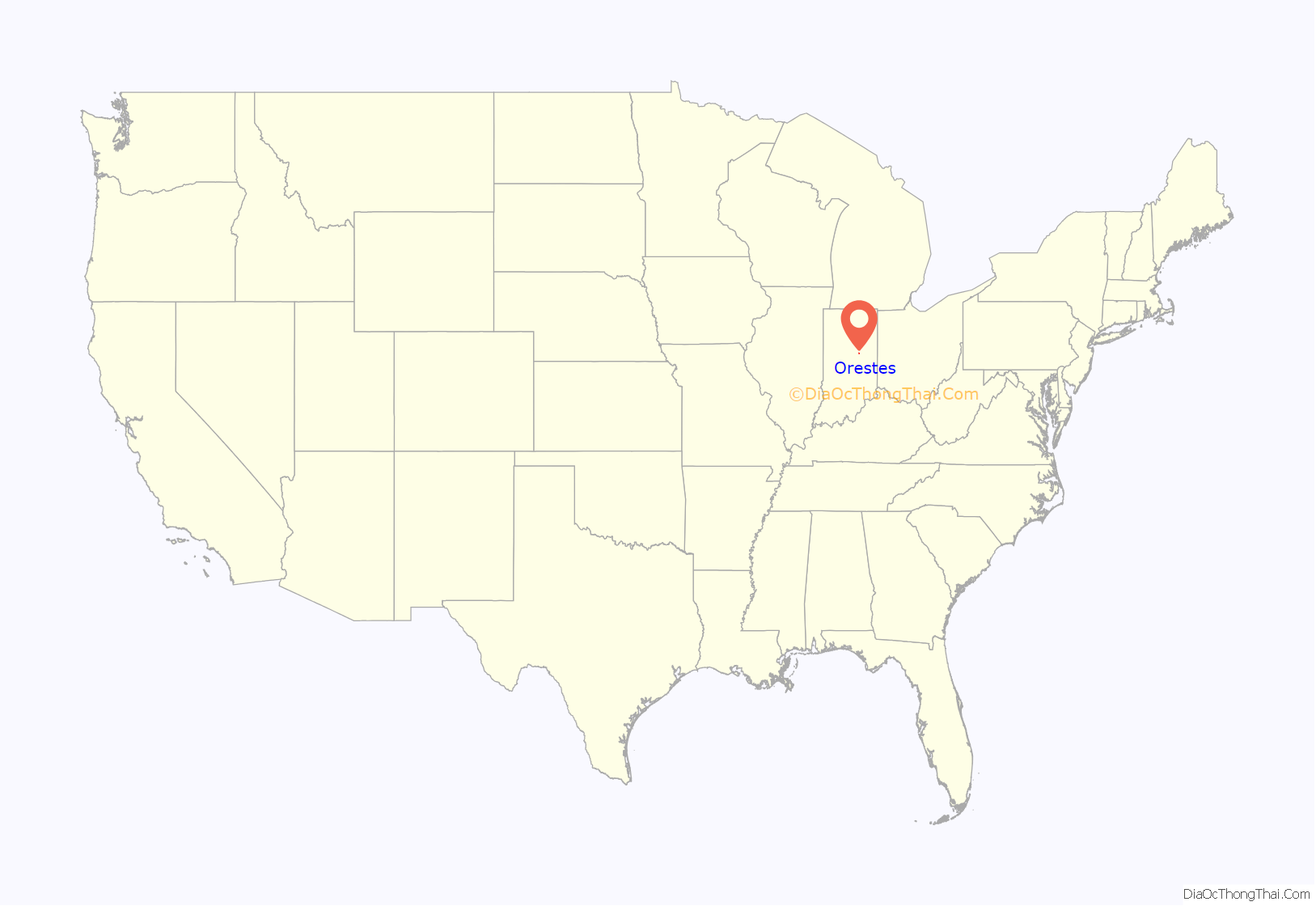
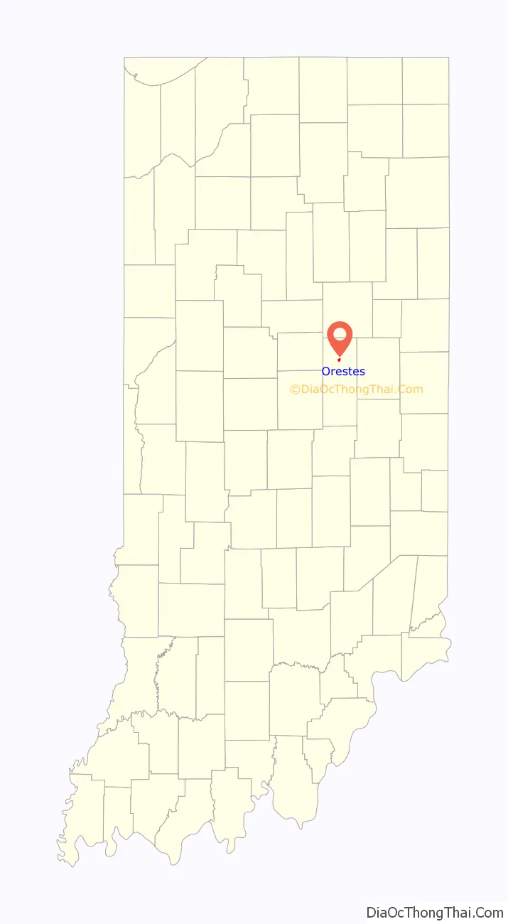
Online Interactive Map
Click on ![]() to view map in "full screen" mode.
to view map in "full screen" mode.
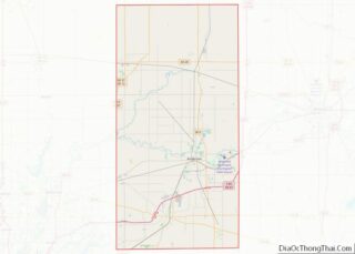
Orestes location map. Where is Orestes town?
History
Orestes was founded in 1876 when the railroad was extended to that point. It may be named after Orestes in Greek mythology. Orestes was incorporated as a town in 1894.
Orestes was a little village known as “Lowrys Switch” until the town board decided to change the name and ask for suggestions for the name. Nathan McMahan sent in his son’s name and upon its acceptance, the town became known as Orestes. Orestes McMahan was born on Christmas Day, 1876, and died September 14, 1946. He was a farmer all his life and never married.
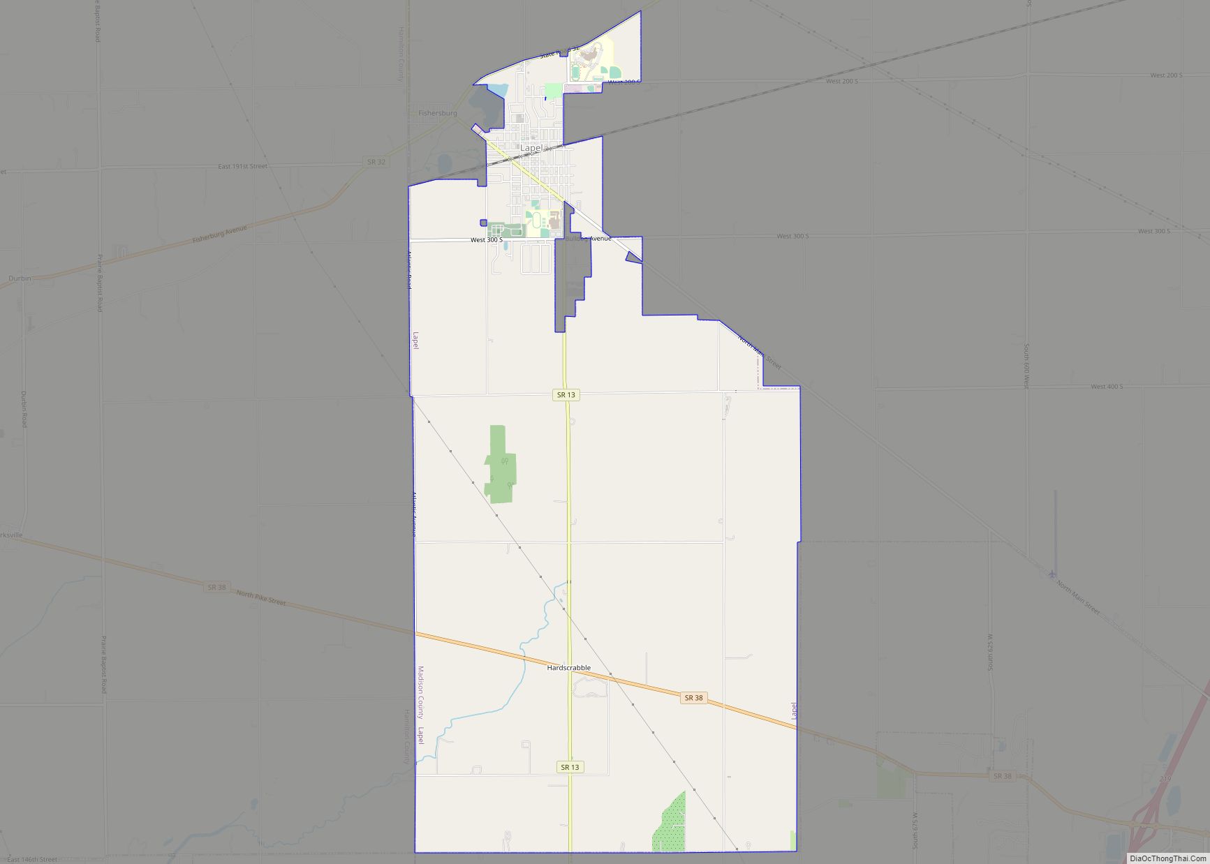
Orestes Road Map
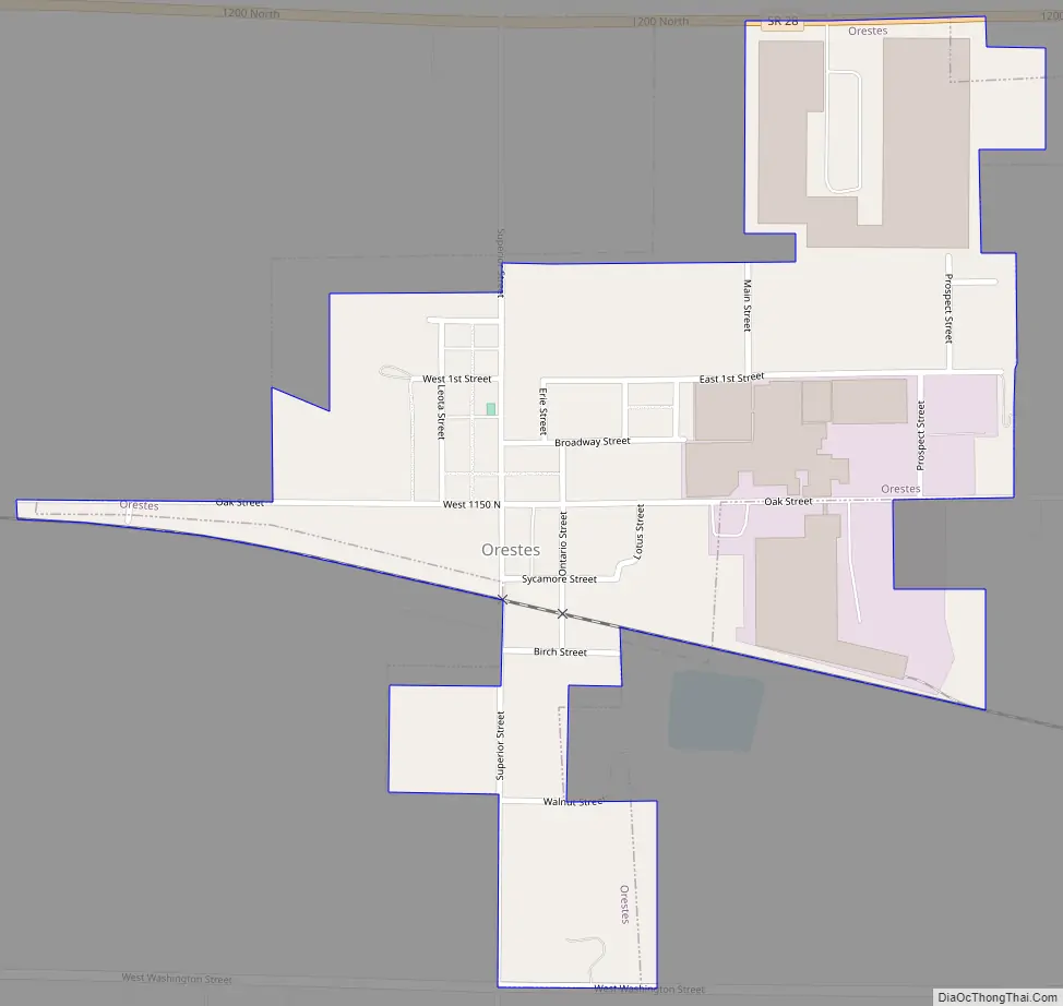
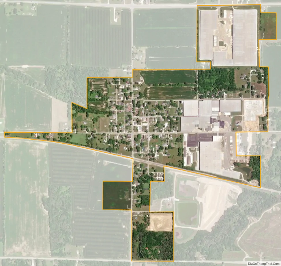
Orestes city Satellite Map
Geography
Orestes is located in northern Madison County at 40°16′18″N 85°43′27″W / 40.271710°N 85.724037°W / 40.271710; -85.724037. Indiana State Road 28 runs along the northern border of the town, leading east 3 miles (5 km) to Alexandria and west 6 miles (10 km) to Elwood. Anderson, the Madison county seat, is 14 miles (23 km) to the south.
According to the U.S. Census Bureau, Orestes has a total area of 0.47 square miles (1.22 km), all land. Lilly Creek flows past the southeast corner of the town, leading southwest to Pipe Creek just south of the town limits, part of the White River watershed.
See also
Map of Indiana State and its subdivision:- Adams
- Allen
- Bartholomew
- Benton
- Blackford
- Boone
- Brown
- Carroll
- Cass
- Clark
- Clay
- Clinton
- Crawford
- Daviess
- De Kalb
- Dearborn
- Decatur
- Delaware
- Dubois
- Elkhart
- Fayette
- Floyd
- Fountain
- Franklin
- Fulton
- Gibson
- Grant
- Greene
- Hamilton
- Hancock
- Harrison
- Hendricks
- Henry
- Howard
- Huntington
- Jackson
- Jasper
- Jay
- Jefferson
- Jennings
- Johnson
- Knox
- Kosciusko
- LaGrange
- Lake
- Lake Michigan
- LaPorte
- Lawrence
- Madison
- Marion
- Marshall
- Martin
- Miami
- Monroe
- Montgomery
- Morgan
- Newton
- Noble
- Ohio
- Orange
- Owen
- Parke
- Perry
- Pike
- Porter
- Posey
- Pulaski
- Putnam
- Randolph
- Ripley
- Rush
- Saint Joseph
- Scott
- Shelby
- Spencer
- Starke
- Steuben
- Sullivan
- Switzerland
- Tippecanoe
- Tipton
- Union
- Vanderburgh
- Vermillion
- Vigo
- Wabash
- Warren
- Warrick
- Washington
- Wayne
- Wells
- White
- Whitley
- Alabama
- Alaska
- Arizona
- Arkansas
- California
- Colorado
- Connecticut
- Delaware
- District of Columbia
- Florida
- Georgia
- Hawaii
- Idaho
- Illinois
- Indiana
- Iowa
- Kansas
- Kentucky
- Louisiana
- Maine
- Maryland
- Massachusetts
- Michigan
- Minnesota
- Mississippi
- Missouri
- Montana
- Nebraska
- Nevada
- New Hampshire
- New Jersey
- New Mexico
- New York
- North Carolina
- North Dakota
- Ohio
- Oklahoma
- Oregon
- Pennsylvania
- Rhode Island
- South Carolina
- South Dakota
- Tennessee
- Texas
- Utah
- Vermont
- Virginia
- Washington
- West Virginia
- Wisconsin
- Wyoming