Tenafly (/ˈtɛnəflaɪ/) is a borough in Bergen County, in the U.S. state of New Jersey. As of the 2020 United States census, the borough’s population was 15,409, an increase of 921 (+6.4%) from the 2010 census count of 14,488, which in turn reflected an increase of 682 (+4.9%) from the 13,806 counted in the 2000 census. Tenafly is a suburb of New York City.
The first European settlers in Tenafly were Dutch immigrants, who began to populate the area during the late 17th century. The name “Tenafly” is of Dutch language origin. Some historical references cite a Dutch language connection to its location on or at “a meadow.” Other derivations cite the early-modern Dutch phrase “Tiene Vly” or “Ten Swamps” which was given by Dutch settlers in 1688.
The borough has been one of the state’s highest-income communities. Based on data from the American Community Survey for 2013–2017, Tenafly residents had a median household income of $153,381, ranked 13th in the state among municipalities with more than 10,000 residents, more than double the statewide median of $76,475.
Tenafly was incorporated as a borough on January 24, 1894, by an act of the New Jersey Legislature from portions of the now-defunct Palisades Township, based on the results of a referendum held the previous day. The borough was the first formed during the “Boroughitis” phenomenon then sweeping through Bergen County, in which 26 boroughs were formed in the county in 1894 alone. Portions of Palisades Township were acquired based on legislation approved on April 8, 1897.
| Name: | Tenafly borough |
|---|---|
| LSAD Code: | 21 |
| LSAD Description: | borough (suffix) |
| State: | New Jersey |
| County: | Bergen County |
| Incorporated: | January 24, 1894 |
| Elevation: | 217 ft (66 m) |
| Total Area: | 5.16 sq mi (13.38 km²) |
| Land Area: | 4.59 sq mi (11.88 km²) |
| Water Area: | 0.58 sq mi (1.50 km²) 11.20% |
| Total Population: | 15,409 |
| Population Density: | 3,360.0/sq mi (1,297.3/km²) |
| ZIP code: | 07670 |
| Area code: | 201 |
| FIPS code: | 3472420 |
| GNISfeature ID: | 0885417 |
| Website: | www.tenaflynj.org |
Online Interactive Map
Click on ![]() to view map in "full screen" mode.
to view map in "full screen" mode.
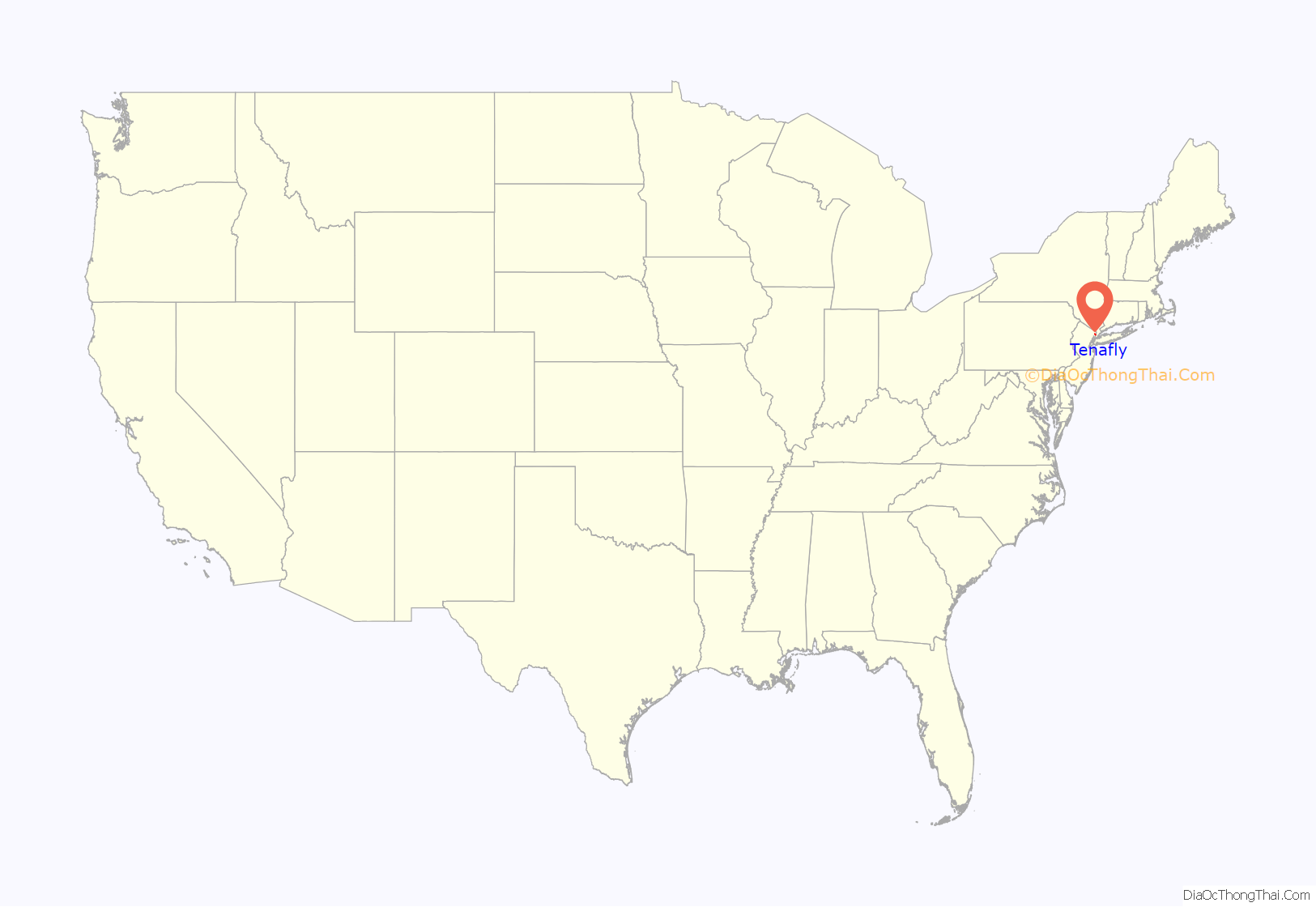
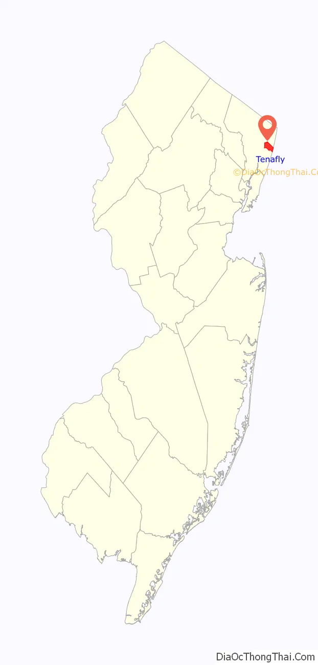
Tenafly location map. Where is Tenafly borough?
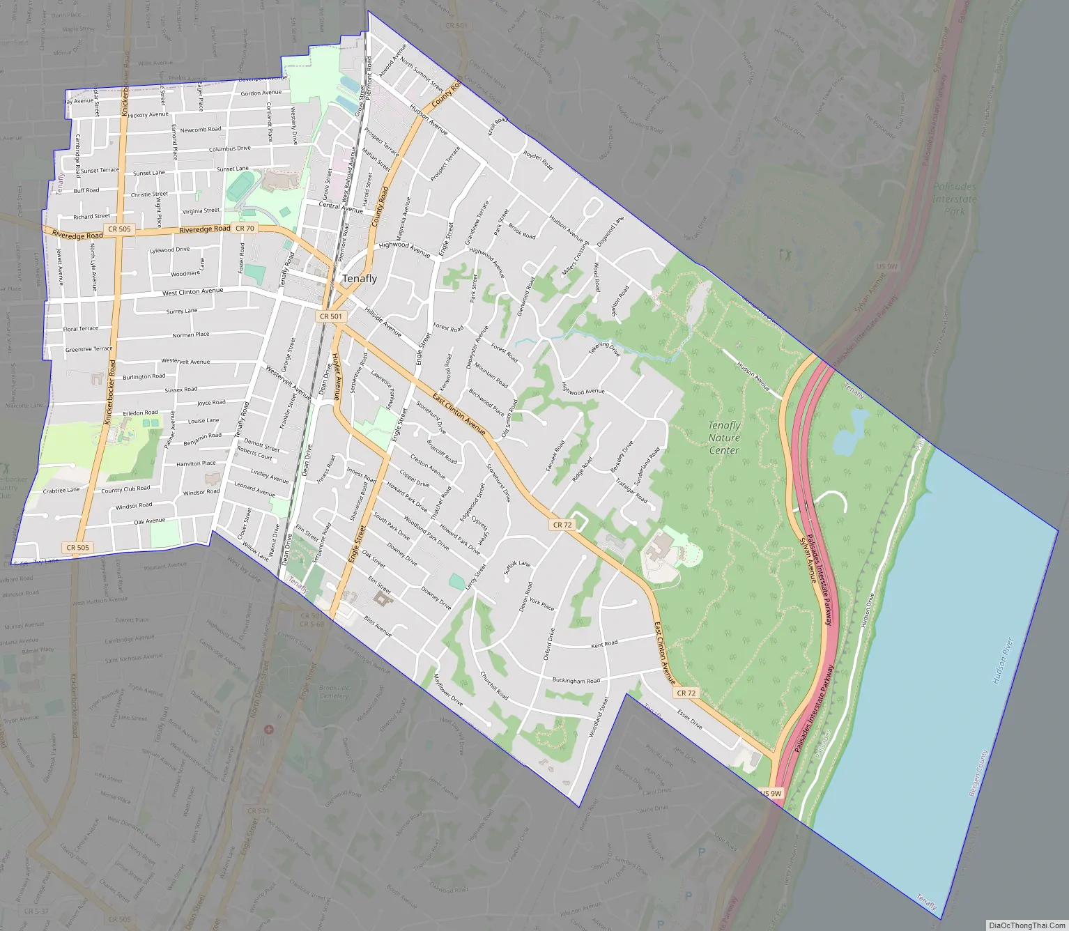
Tenafly Road Map
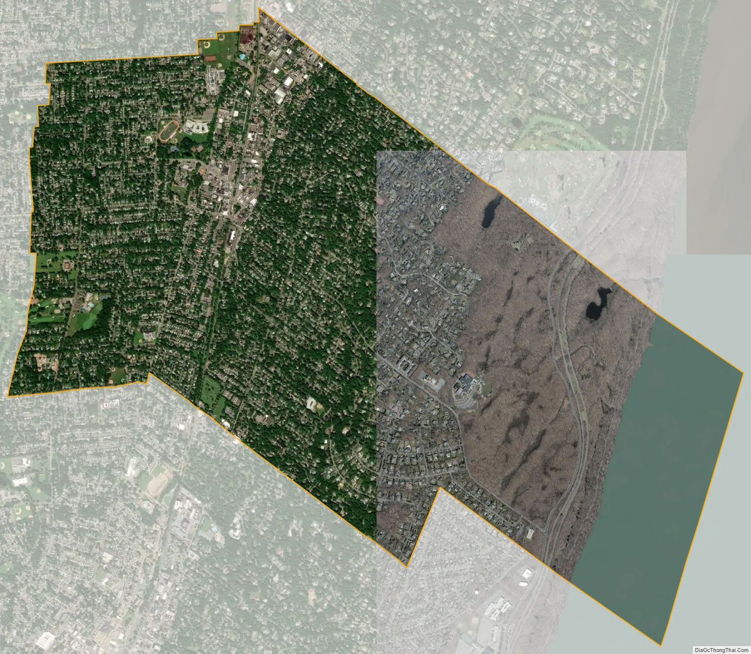
Tenafly city Satellite Map
Geography
According to the United States Census Bureau, the borough had a total area of 5.16 square miles (13.38 km), including 4.59 square miles (11.88 km) of land and 0.58 square miles (1.50 km) of water (11.20%).
The borough borders the municipalities of Alpine, Bergenfield, Cresskill, Englewood and Englewood Cliffs in Bergen County; and The Bronx in New York City across the Hudson River.
Tenafly’s street plan and overall development were largely determined by its hills and valleys. The eastern part of the borough is referred to as the “East Hill” for its higher elevation in relation to the rest of the borough. There, the terrain rises dramatically to the east of the downtown area, terminating at the New Jersey Palisades, overlooking the Hudson River. Nearby is the Tenafly Nature Center, located at 313 Hudson Avenue.
See also
Map of New Jersey State and its subdivision: Map of other states:- Alabama
- Alaska
- Arizona
- Arkansas
- California
- Colorado
- Connecticut
- Delaware
- District of Columbia
- Florida
- Georgia
- Hawaii
- Idaho
- Illinois
- Indiana
- Iowa
- Kansas
- Kentucky
- Louisiana
- Maine
- Maryland
- Massachusetts
- Michigan
- Minnesota
- Mississippi
- Missouri
- Montana
- Nebraska
- Nevada
- New Hampshire
- New Jersey
- New Mexico
- New York
- North Carolina
- North Dakota
- Ohio
- Oklahoma
- Oregon
- Pennsylvania
- Rhode Island
- South Carolina
- South Dakota
- Tennessee
- Texas
- Utah
- Vermont
- Virginia
- Washington
- West Virginia
- Wisconsin
- Wyoming


