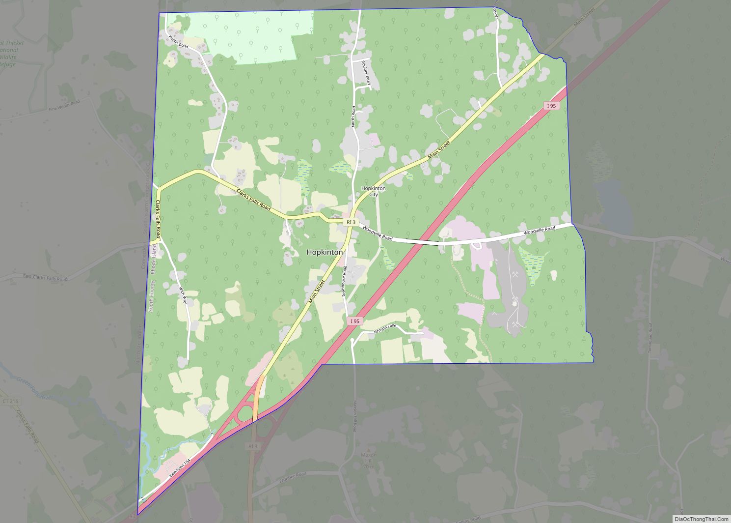
Ashaway (/ˈæʃəweɪ/) is an unincorporated village and census-designated place (CDP) in the town of Hopkinton, Rhode Island, USA. It is a principal village of Hopkinton, along with Hope Valley, although it is the smaller of the two. The population was 1,485 at the 2010 census. The name Ashaway is derived from the American Indian name for the river that runs through the village, the Ashawague or Ashawaug, which means “land in the middle” or “land between” in the Niantic and Mohegan languages. The name “Ashawague River” appears as late as 1832 on the Findley map of Rhode Island published in Philadelphia.
| Name: | Ashaway CDP |
|---|---|
| LSAD Code: | 57 |
| LSAD Description: | CDP (suffix) |
| State: | Rhode Island |
| County: | Washington County |
| Elevation: | 62 ft (19 m) |
| Total Area: | 2.42 sq mi (6.26 km²) |
| Land Area: | 2.37 sq mi (6.15 km²) |
| Water Area: | 0.04 sq mi (0.11 km²) |
| Total Population: | 1,501 |
| Population Density: | 632.27/sq mi (244.11/km²) |
| ZIP code: | 02804 |
| Area code: | 401 |
| FIPS code: | 4403520 |
Online Interactive Map
Click on ![]() to view map in "full screen" mode.
to view map in "full screen" mode.
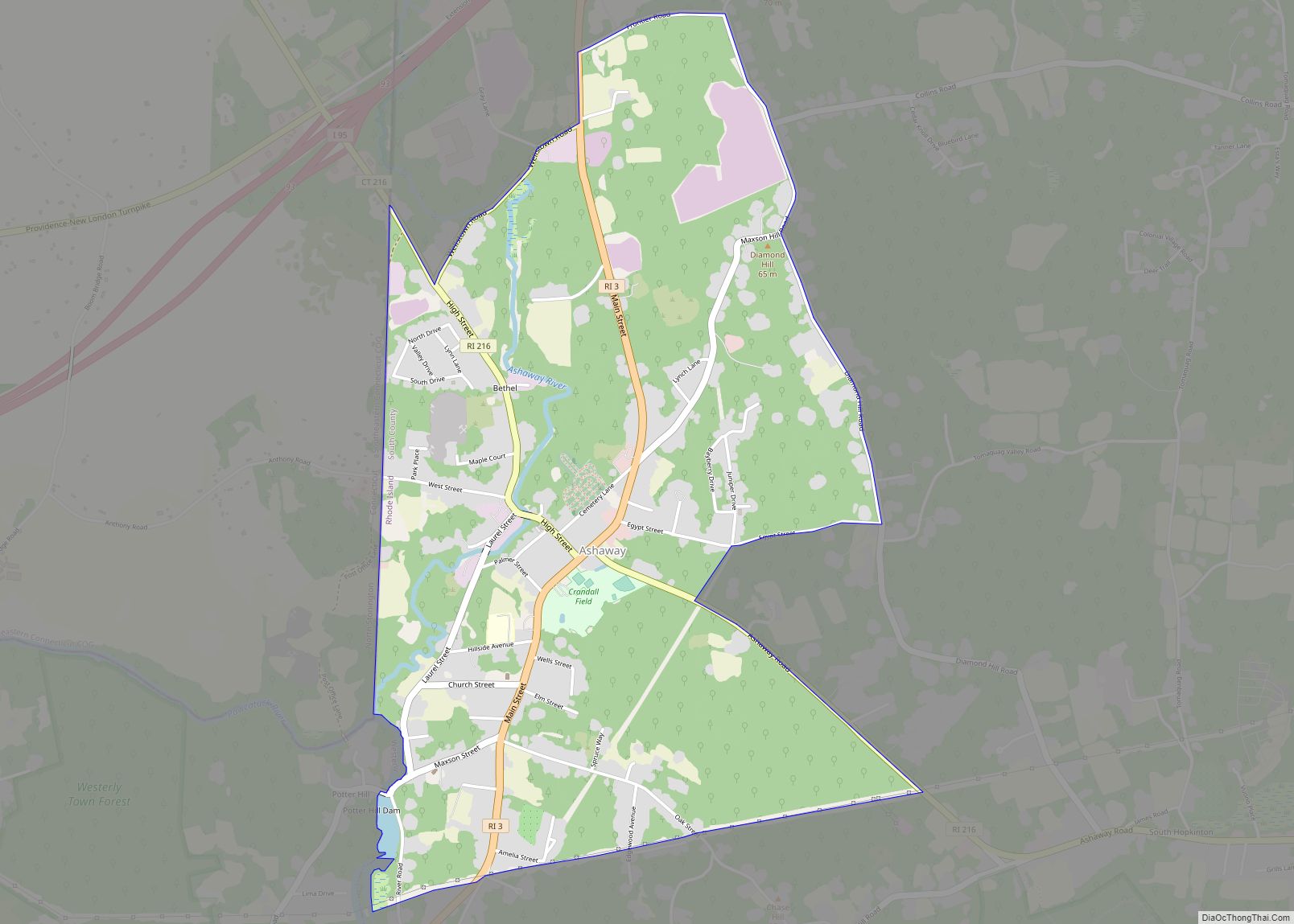
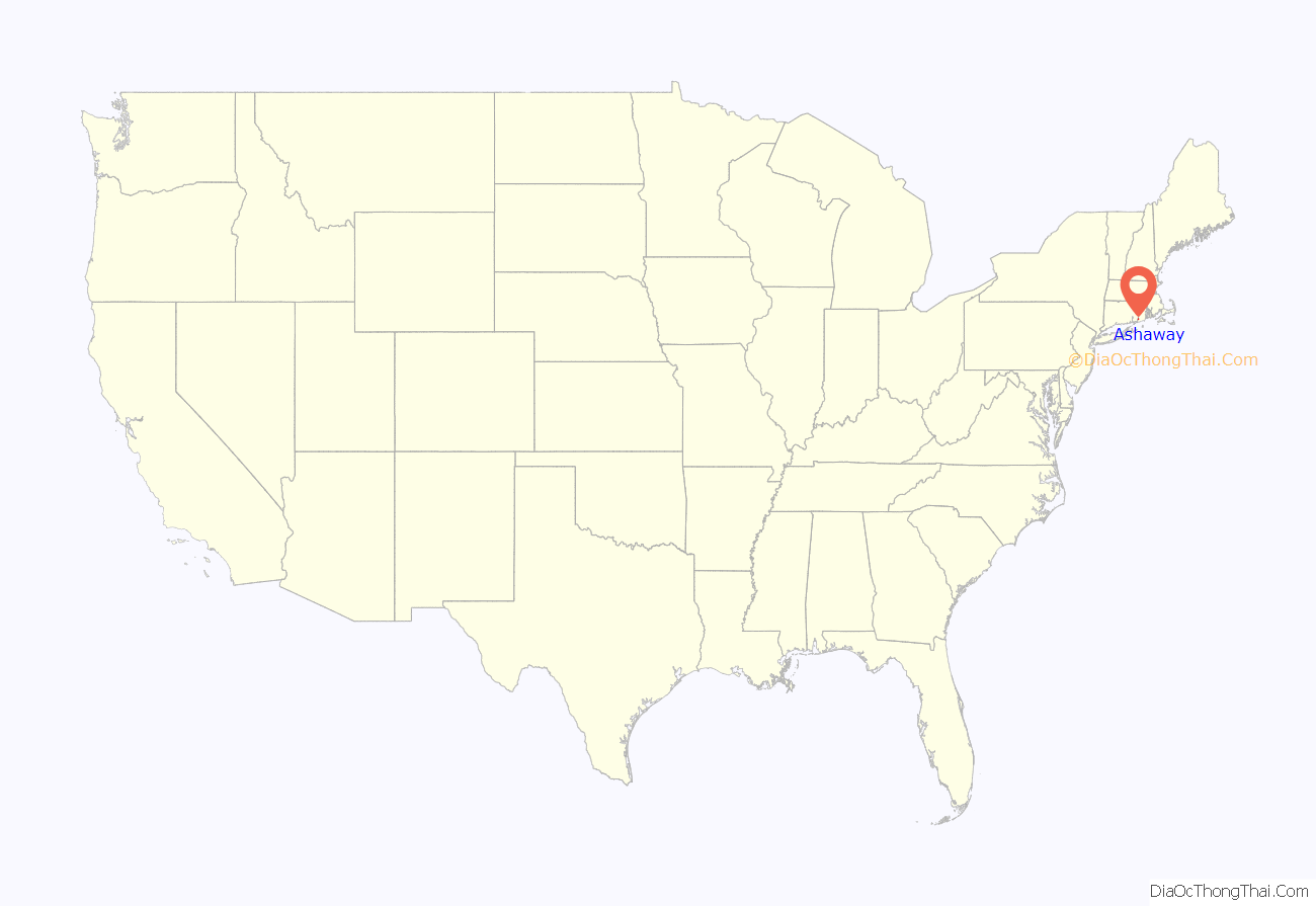
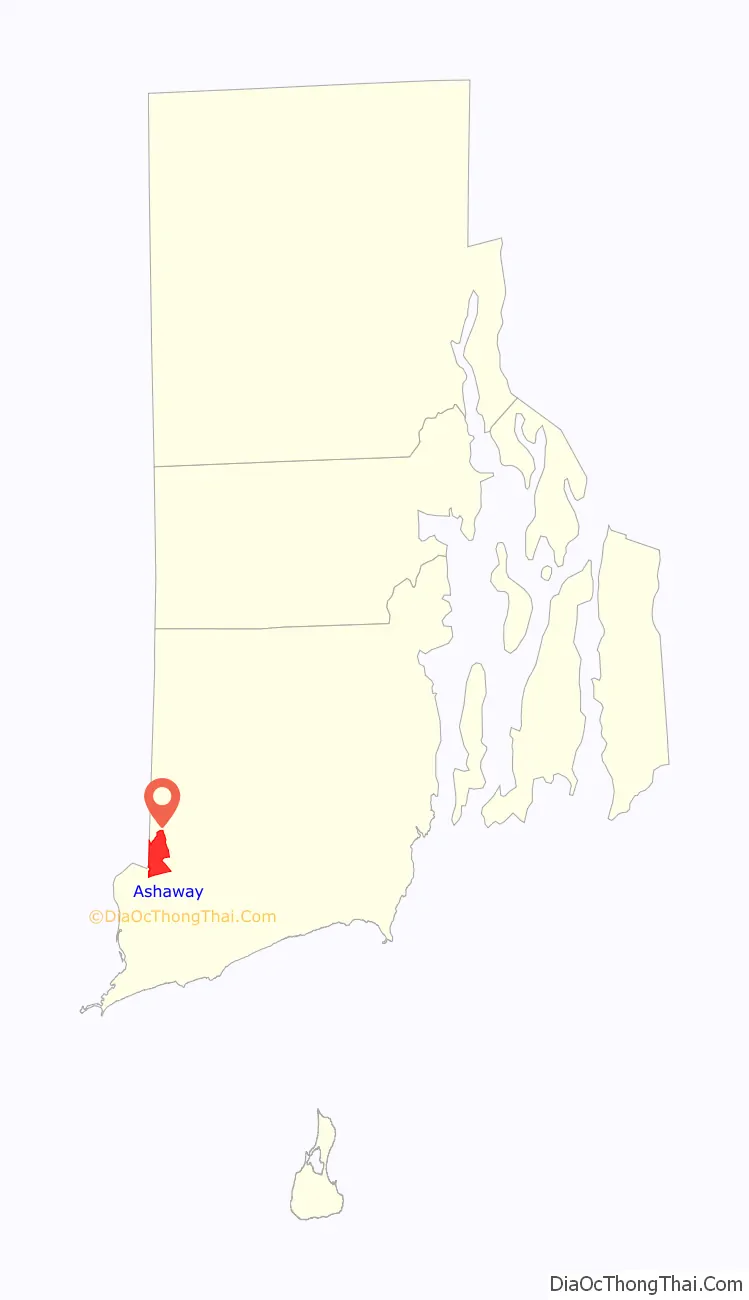
Ashaway location map. Where is Ashaway CDP?
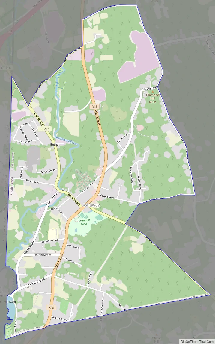
Ashaway Road Map
Ashaway city Satellite Map
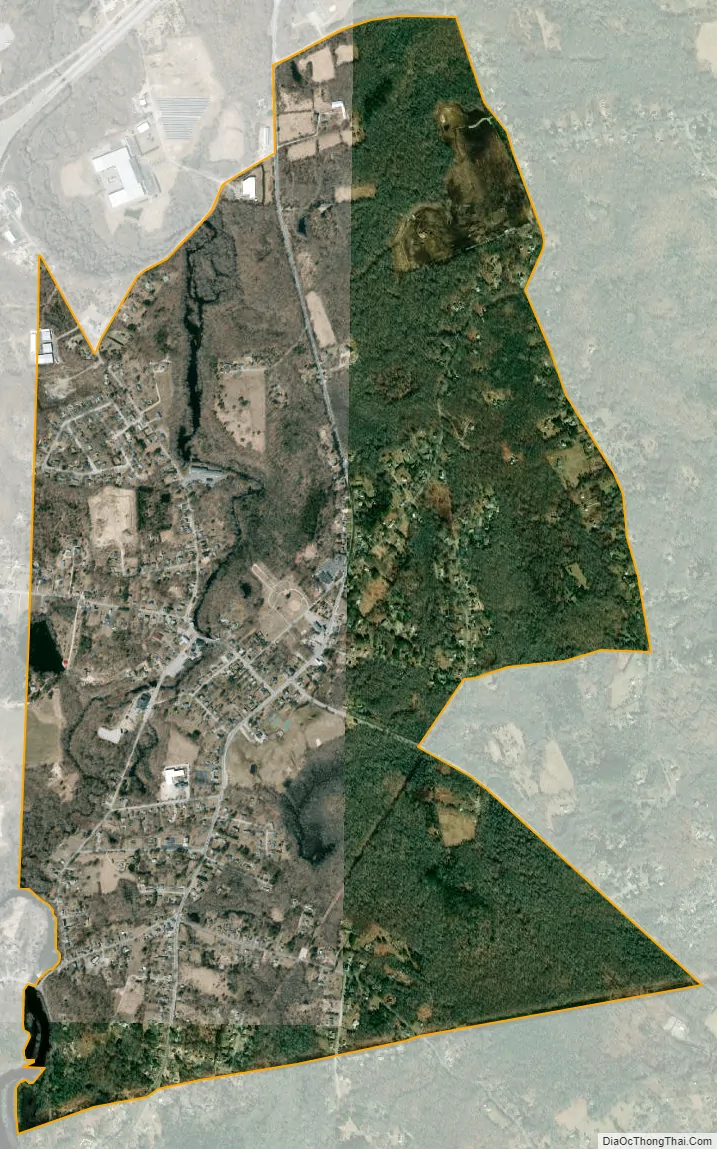
Geography
Ashaway is located at 41°25′23″N 71°47′20″W / 41.42306°N 71.78889°W / 41.42306; -71.78889 (41.423004, −71.788839).
According to the United States Census Bureau, the CDP has a total area of 6.2 km (2.4 mi). 6.2 km (2.4 mi) of it is land and 0.1 km (0.04 mi) (1.24%) is water.
See also
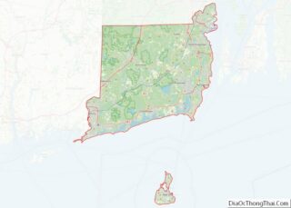
Map of Rhode Island State and its subdivision: Map of other states:- Alabama
- Alaska
- Arizona
- Arkansas
- California
- Colorado
- Connecticut
- Delaware
- District of Columbia
- Florida
- Georgia
- Hawaii
- Idaho
- Illinois
- Indiana
- Iowa
- Kansas
- Kentucky
- Louisiana
- Maine
- Maryland
- Massachusetts
- Michigan
- Minnesota
- Mississippi
- Missouri
- Montana
- Nebraska
- Nevada
- New Hampshire
- New Jersey
- New Mexico
- New York
- North Carolina
- North Dakota
- Ohio
- Oklahoma
- Oregon
- Pennsylvania
- Rhode Island
- South Carolina
- South Dakota
- Tennessee
- Texas
- Utah
- Vermont
- Virginia
- Washington
- West Virginia
- Wisconsin
- Wyoming