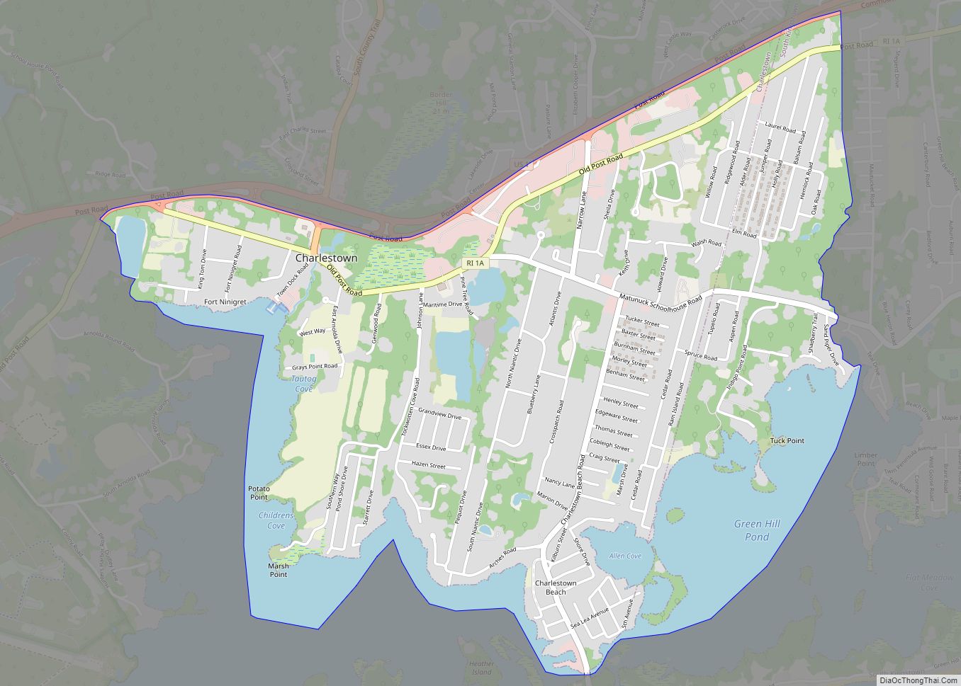
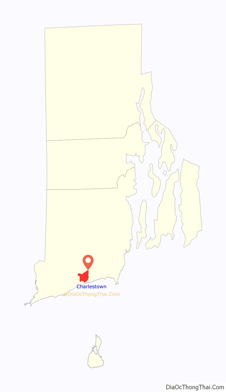
Charlestown is a census-designated place (CDP) in Washington County, Rhode Island, United States, comprising the main village in the town of Charlestown and additional land extending to the east into the town of South Kingstown. It was first listed as a CDP prior to the 2020 census.
Charlestown is in southern Washington County, on the north side of Ninigret Pond, a tidal lagoon connected to Block Island Sound. The community is in the southeast part of the town of Charlestown and the southwest part of the town of South Kingstown. The village of Charlestown is in the northwest part of the CDP, at the northern head of Ninigret Pond. The hamlet of Charlestown Beach is in the southern part of the CDP, separated by a tidal inlet from the physical Charlestown Beach along the Atlantic. The CDP continues east into South Kingstown, on the north side of Green Hill Pond.
U.S. Route 1 forms the northern edge of the Charlestown CDP; the highway leads northeast 10 miles (16 km) to Narragansett and west 11 miles (18 km) to Westerly.
| Name: | Charlestown CDP |
|---|---|
| LSAD Code: | 57 |
| LSAD Description: | CDP (suffix) |
| State: | Rhode Island |
| County: | Washington County |
| Elevation: | 22 ft (7 m) |
| Total Area: | 2.84 sq mi (7.35 km²) |
| Land Area: | 2.26 sq mi (5.86 km²) |
| Water Area: | 0.57 sq mi (1.49 km²) |
| Total Population: | 1,714 |
| Population Density: | 757.40/sq mi (292.42/km²) |
| Area code: | 401 |
| FIPS code: | 4414320 |
| GNISfeature ID: | 2631329 |
Online Interactive Map
Click on ![]() to view map in "full screen" mode.
to view map in "full screen" mode.
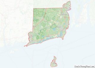
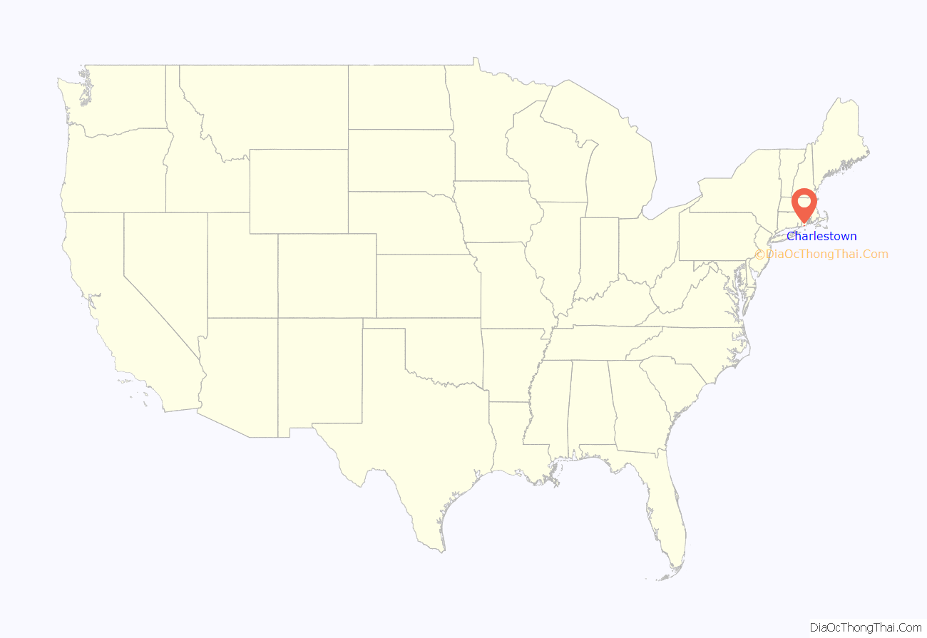
Charlestown location map. Where is Charlestown CDP?
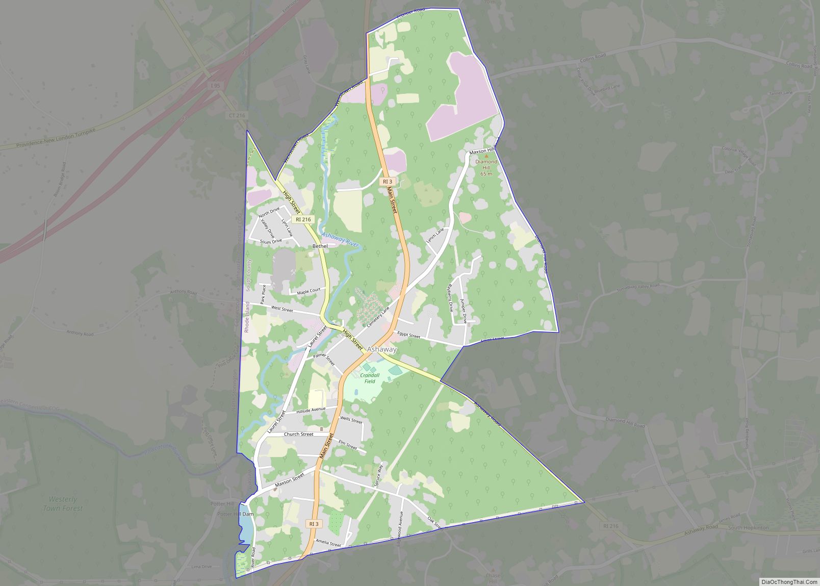
Charlestown Road Map

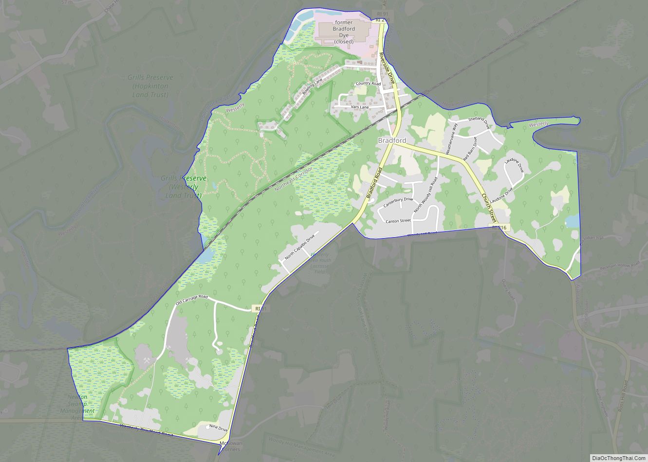
Charlestown city Satellite Map

See also
Map of Rhode Island State and its subdivision: Map of other states:- Alabama
- Alaska
- Arizona
- Arkansas
- California
- Colorado
- Connecticut
- Delaware
- District of Columbia
- Florida
- Georgia
- Hawaii
- Idaho
- Illinois
- Indiana
- Iowa
- Kansas
- Kentucky
- Louisiana
- Maine
- Maryland
- Massachusetts
- Michigan
- Minnesota
- Mississippi
- Missouri
- Montana
- Nebraska
- Nevada
- New Hampshire
- New Jersey
- New Mexico
- New York
- North Carolina
- North Dakota
- Ohio
- Oklahoma
- Oregon
- Pennsylvania
- Rhode Island
- South Carolina
- South Dakota
- Tennessee
- Texas
- Utah
- Vermont
- Virginia
- Washington
- West Virginia
- Wisconsin
- Wyoming