Kingston is a village and a census-designated place within the town of South Kingstown in Washington County, Rhode Island, United States, and the site of the main campus of the University of Rhode Island. The population was 6,974 at the 2010 census. Much of the village center is listed on the National Register of Historic Places as Kingston Village Historic District. It was originally known as Little Rest.
| Name: | Kingston CDP |
|---|---|
| LSAD Code: | 57 |
| LSAD Description: | CDP (suffix) |
| State: | Rhode Island |
| County: | Washington County |
| Elevation: | 246 ft (75 m) |
| Total Area: | 1.56 sq mi (4.05 km²) |
| Land Area: | 1.56 sq mi (4.03 km²) |
| Water Area: | 0.01 sq mi (0.02 km²) |
| Total Population: | 7,825 |
| Population Density: | 5,025.69/sq mi (1,941.05/km²) |
| ZIP code: | 02881 |
| Area code: | 401 |
| FIPS code: | 4438980 |
| GNISfeature ID: | 1217812 |
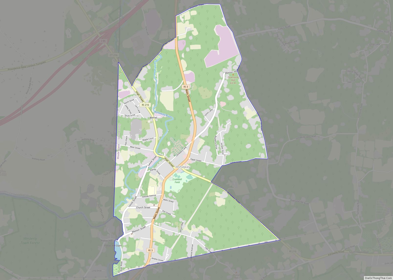
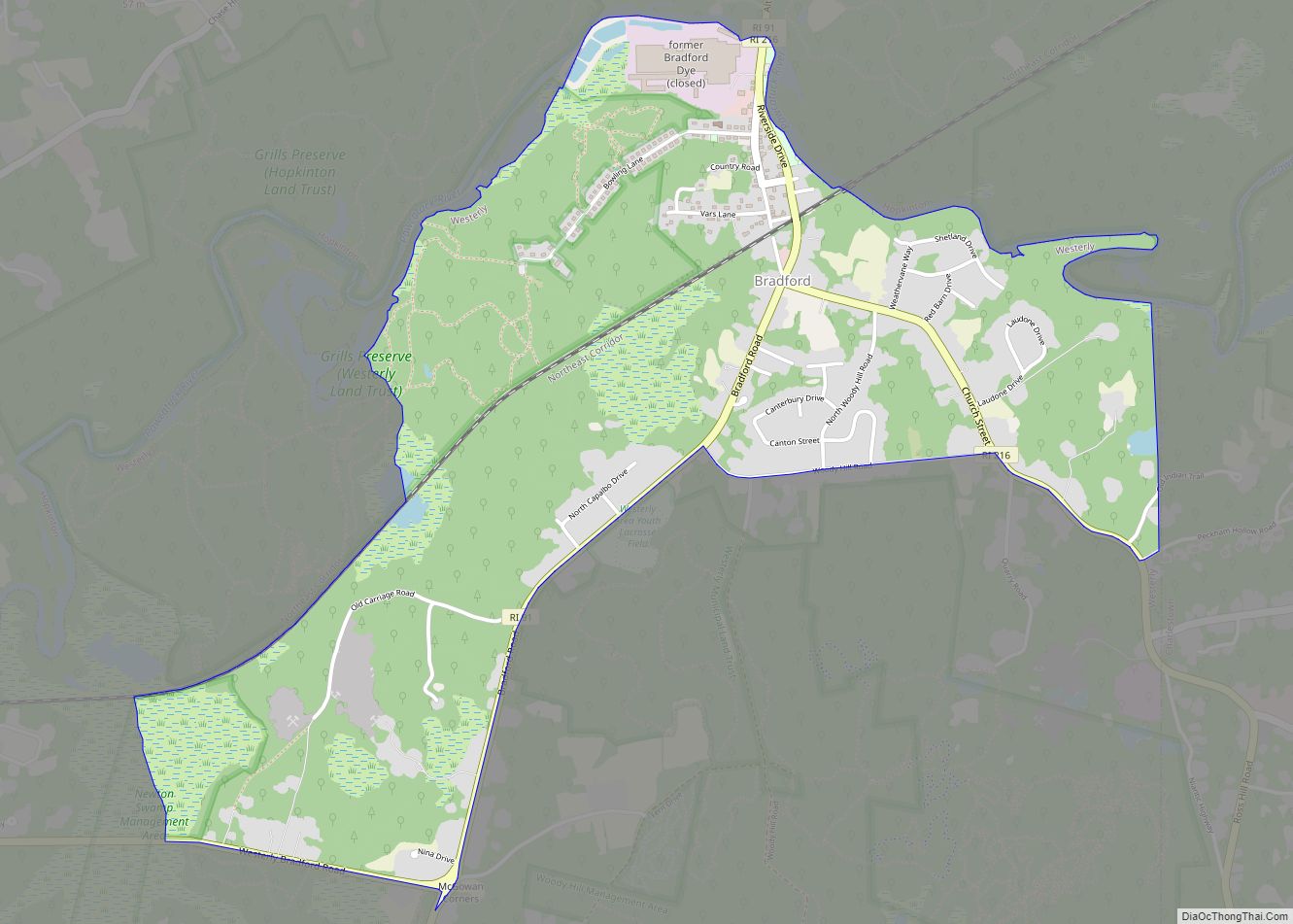
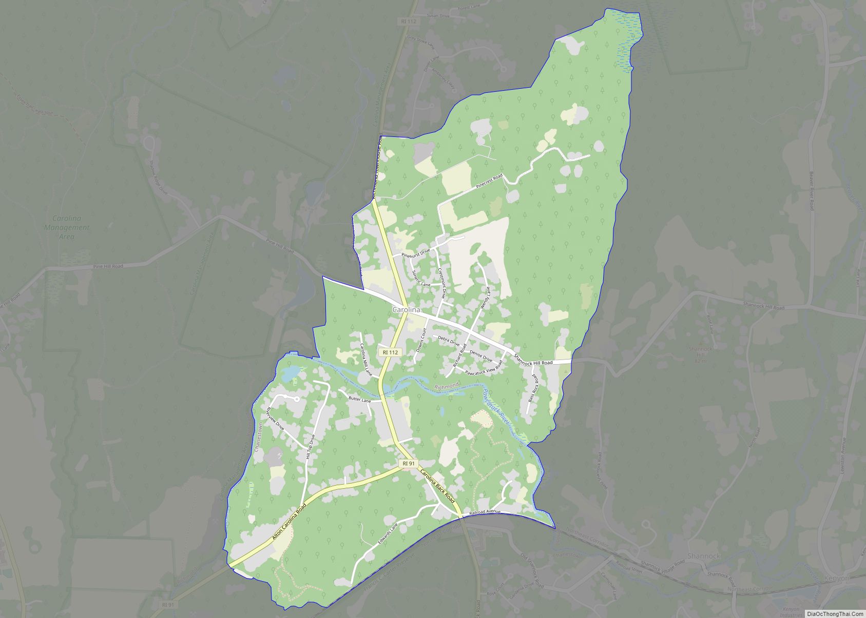
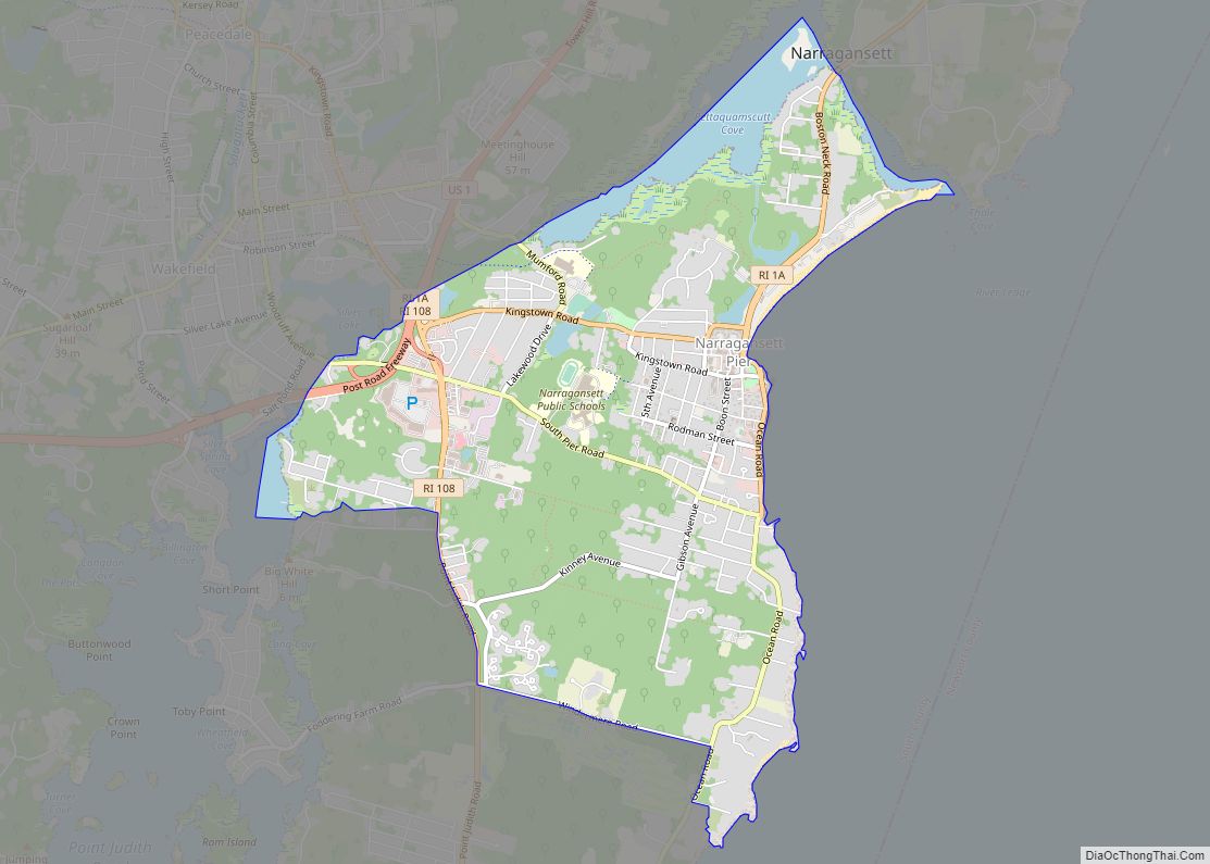
Online Interactive Map
Click on ![]() to view map in "full screen" mode.
to view map in "full screen" mode.
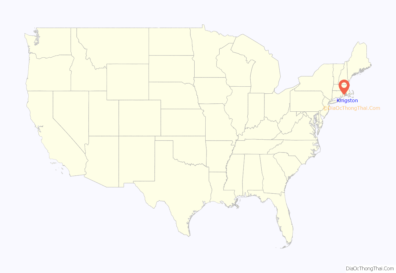
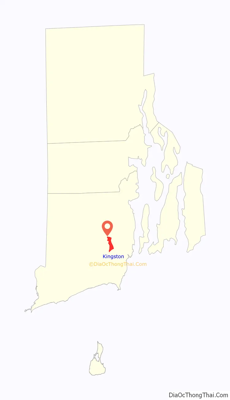
Kingston location map. Where is Kingston CDP?
History
Kingston was first settled in the late seventeenth century. Originally known as Little Rest, the name was changed to Kingston in 1826. It was the county seat for Washington County (formerly Kings County) from 1752 until 1894, when a new courthouse was built in nearby West Kingston. West Kingston is also the site of the historic Kingston Railroad Station which opened in June, 1875. The station is served by Amtrak on its Northeast Corridor.
For a time, starting in the late 1770s, the preacher Jemima Wilkinson, known as the Public Universal Friend resided and gave sermons in the town. As late as the 1900s inhabitants of Kingston called a species of solidago “Jemima weed”, because its appearance in the town coincided with the preacher’s first visit to the area.
South Kingstown established the Kingston Historic District in 1959, and much of Kingston village became a National Register historic district in 1974 as Kingston Village Historic District. The historic district is located just outside the campus of the University of Rhode Island and contains many fine examples of 18th and 19th century architecture. The historic district includes 38 buildings.
The University of Rhode Island was established at Kingston in 1888 as the Rhode Island Agricultural School and Agricultural Experiment Station, by funding from the Hatch Act of 1887. In 1892 the Agricultural School became the Rhode Island College of Agriculture and Mechanic Arts with funding from the Second Morrill Land Grant Act of 1890, later becoming Rhode Island State College in 1909 and the University of Rhode Island in 1951.
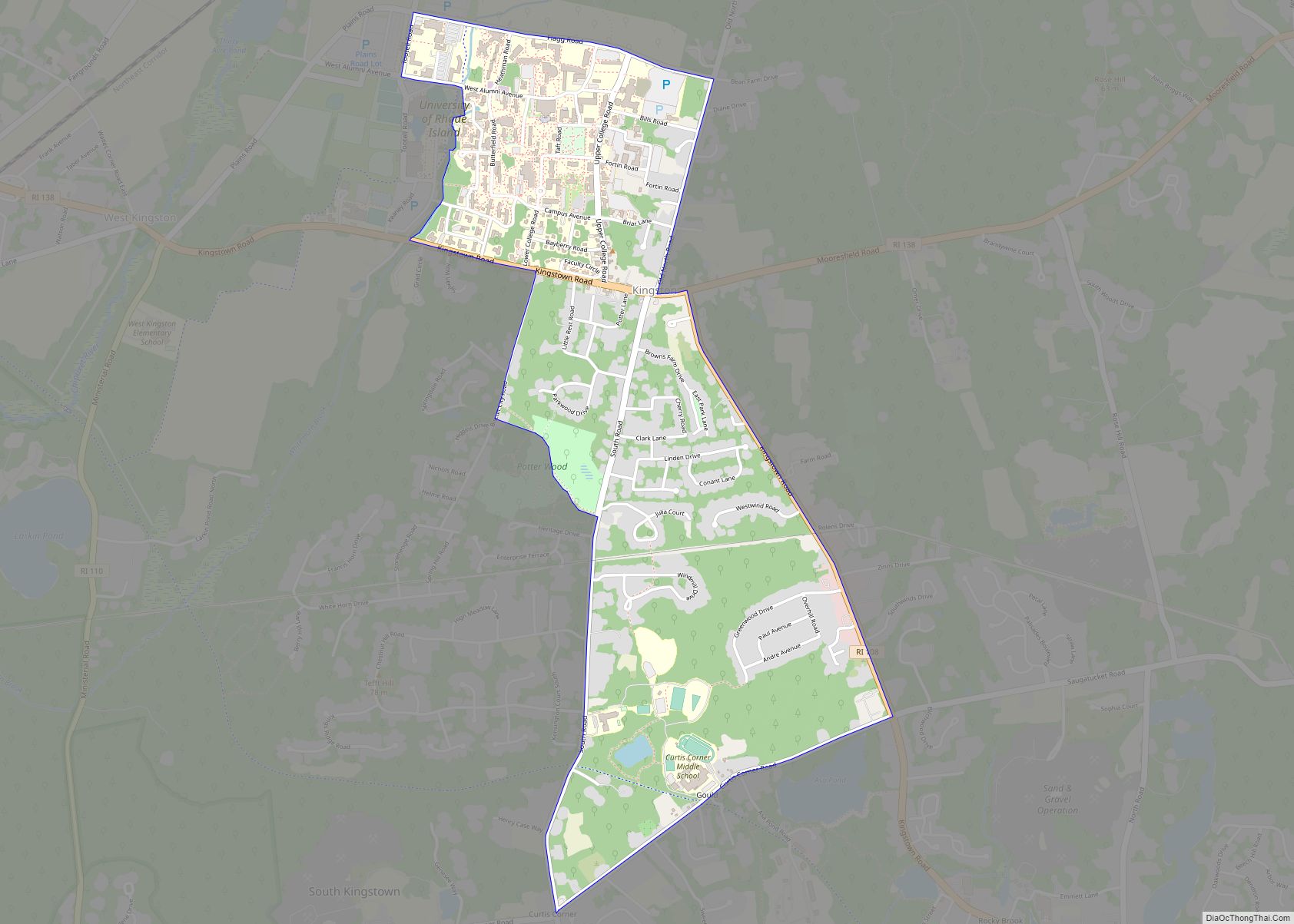
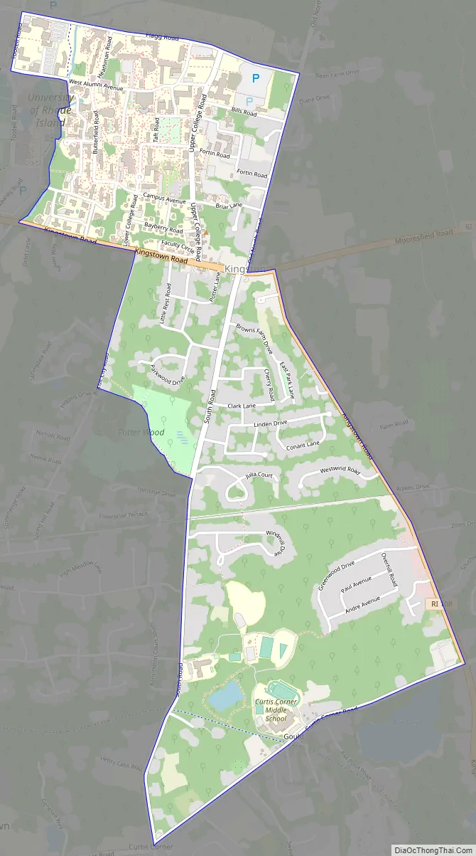
Kingston Road Map
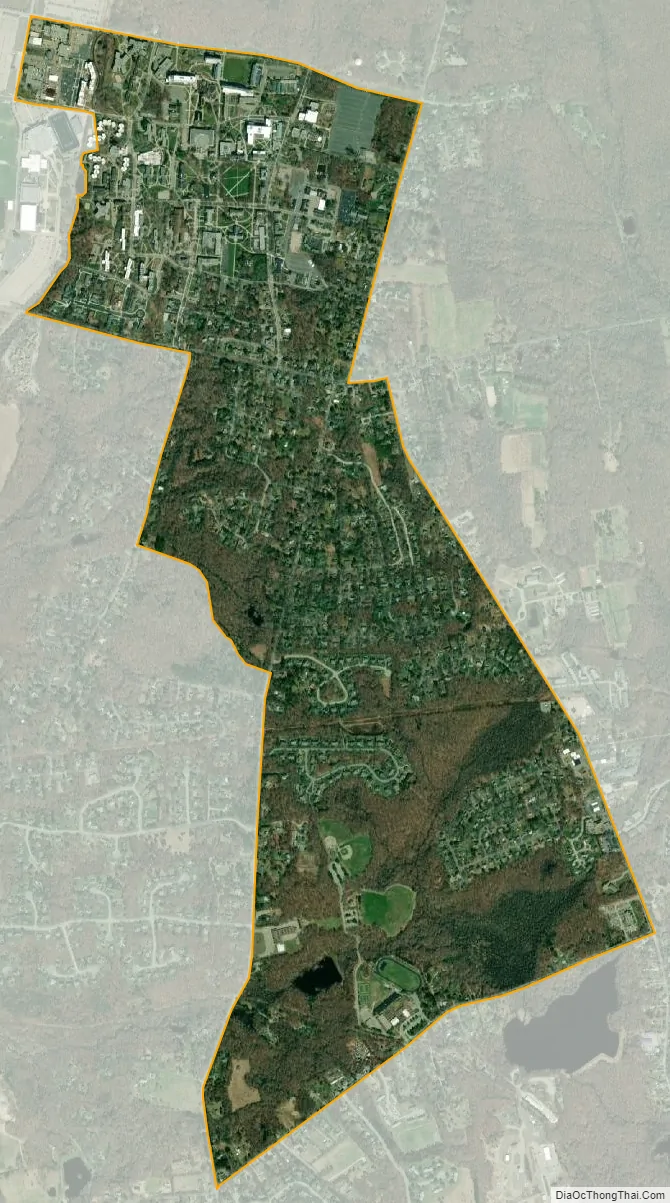
Kingston city Satellite Map
Geography
According to the United States Census Bureau, the CDP has a total area of 1.563 square miles (4.05 km), of which 1.556 square miles (4.03 km) is land and 0.007 square miles (0.02 km) (0.45%) is water.
Climate
See also
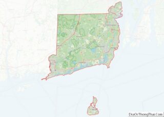
Map of Rhode Island State and its subdivision: Map of other states:- Alabama
- Alaska
- Arizona
- Arkansas
- California
- Colorado
- Connecticut
- Delaware
- District of Columbia
- Florida
- Georgia
- Hawaii
- Idaho
- Illinois
- Indiana
- Iowa
- Kansas
- Kentucky
- Louisiana
- Maine
- Maryland
- Massachusetts
- Michigan
- Minnesota
- Mississippi
- Missouri
- Montana
- Nebraska
- Nevada
- New Hampshire
- New Jersey
- New Mexico
- New York
- North Carolina
- North Dakota
- Ohio
- Oklahoma
- Oregon
- Pennsylvania
- Rhode Island
- South Carolina
- South Dakota
- Tennessee
- Texas
- Utah
- Vermont
- Virginia
- Washington
- West Virginia
- Wisconsin
- Wyoming