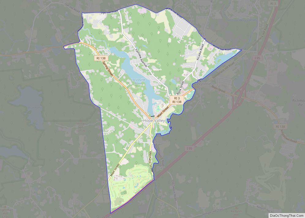
Hope Valley is a village and census-designated place (CDP) in the town of Hopkinton in Washington County, Rhode Island, United States. The population of the CDP was 1,612 at the 2010 census. Hope Valley is the largest village in Hopkinton and the town’s principal commercial center. While the village of Hope Valley is located in Hopkinton, its zip code, 02832, extends into the neighboring town of Richmond.
The central portion of the village was listed on the National Register of Historic Places in 2004 as the Hope Valley Historic District. The 183-acre (74 ha) historic district includes 134 contributing buildings and three other contributing structures.
| Name: | Hope Valley CDP |
|---|---|
| LSAD Code: | 57 |
| LSAD Description: | CDP (suffix) |
| State: | Rhode Island |
| County: | Washington County |
| Elevation: | 85 ft (26 m) |
| Total Area: | 3.53 sq mi (9.13 km²) |
| Land Area: | 3.32 sq mi (8.60 km²) |
| Water Area: | 0.20 sq mi (0.53 km²) |
| Total Population: | 1,870 |
| Population Density: | 562.91/sq mi (217.37/km²) |
| ZIP code: | 02832 |
| Area code: | 401 |
| FIPS code: | 4434660 |
| GNISfeature ID: | 1217875 |
Online Interactive Map
Click on ![]() to view map in "full screen" mode.
to view map in "full screen" mode.
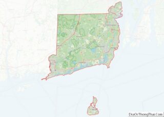
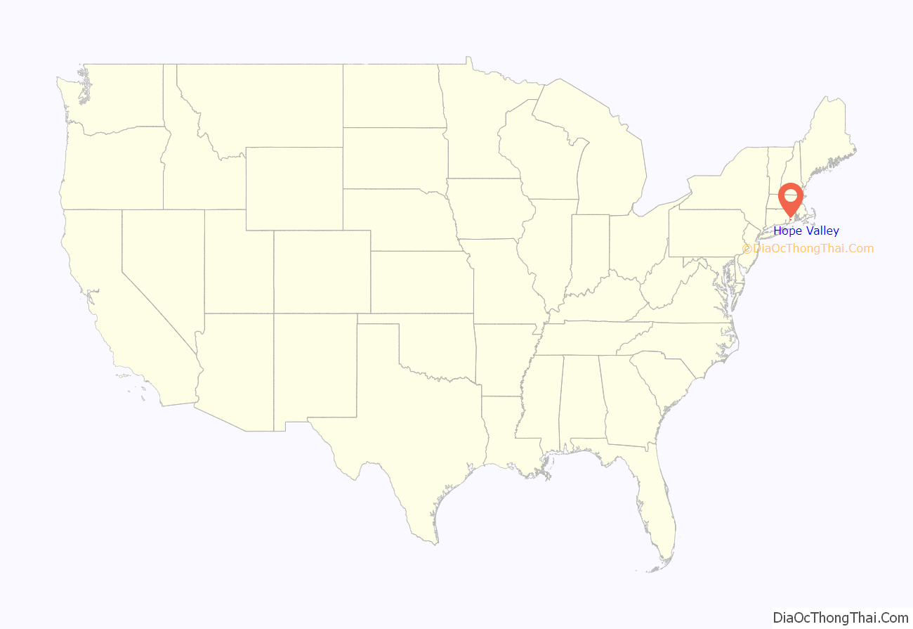
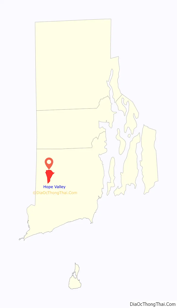
Hope Valley location map. Where is Hope Valley CDP?
History
The earliest European-American settlement of the village site was by Hezekiah Carpenter, who arrived in 1770 and dammed the Wood River and built several small water-powered mills. His settlement was called Carpenter’s Mills. Around 1818 a tannery was built at the site. The textile industry arrived in 1824, when Gardner Nichols and Russell Thayer bought the existing mills and began to operate them for carding of wool; fulling, coloring and finishing of cloth; and manufacture of textile machinery.
The formerly separate village of Locustville, which grew up along Brushy Brook, is now part of Hope Valley. A dam and mill were built at the site of Locustville in 1820. In the late 19th century the Locustville mill property was taken over by the Nichols and Langworthy Company, which had operated the Hope Valley mills since 1835.
There are conflicting versions of the origin of the village’s name. The word “Hope” is the Rhode Island motto and used in various place names in Rhode Island. The phrase is used on the Rhode Island State Seal with an anchor because Roger Williams was inspired by the Biblical passage “hope is the anchor of the soul” in Hebrews, Verse 6:19. In 2008 a town historian told the Providence Journal that Gardner Nichols renamed the village from Carpenter’s Mills to Hope Valley “because all of his hopes were centered” in the village. This version also appears in History of the State of Rhode Island.
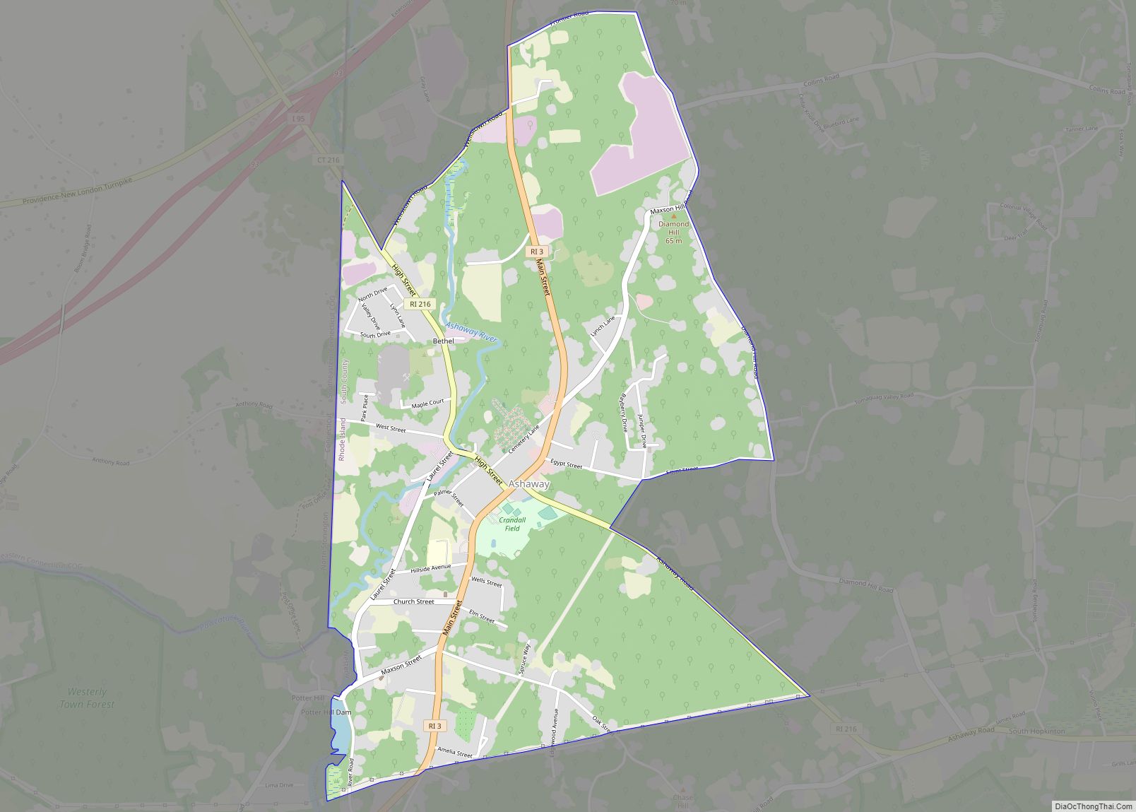
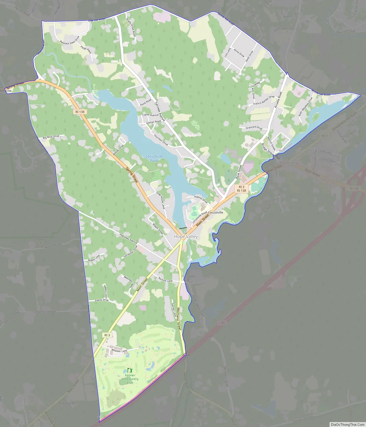
Hope Valley Road Map
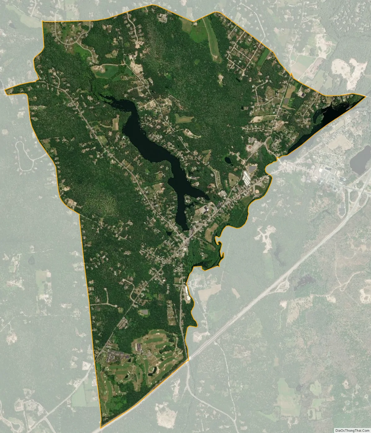
Hope Valley city Satellite Map
Geography
Hope Valley is located at 41°30′43″N 71°42′55″W / 41.51194°N 71.71528°W / 41.51194; -71.71528 (41.511877, -71.715411).
According to the United States Census Bureau, the CDP has a total area of 9.1 km (3.5 mi). 8.5 km (3.3 mi) of it is land and 0.5 km (0.2 mi) of it (5.43%) is water.
See also
Map of Rhode Island State and its subdivision: Map of other states:- Alabama
- Alaska
- Arizona
- Arkansas
- California
- Colorado
- Connecticut
- Delaware
- District of Columbia
- Florida
- Georgia
- Hawaii
- Idaho
- Illinois
- Indiana
- Iowa
- Kansas
- Kentucky
- Louisiana
- Maine
- Maryland
- Massachusetts
- Michigan
- Minnesota
- Mississippi
- Missouri
- Montana
- Nebraska
- Nevada
- New Hampshire
- New Jersey
- New Mexico
- New York
- North Carolina
- North Dakota
- Ohio
- Oklahoma
- Oregon
- Pennsylvania
- Rhode Island
- South Carolina
- South Dakota
- Tennessee
- Texas
- Utah
- Vermont
- Virginia
- Washington
- West Virginia
- Wisconsin
- Wyoming