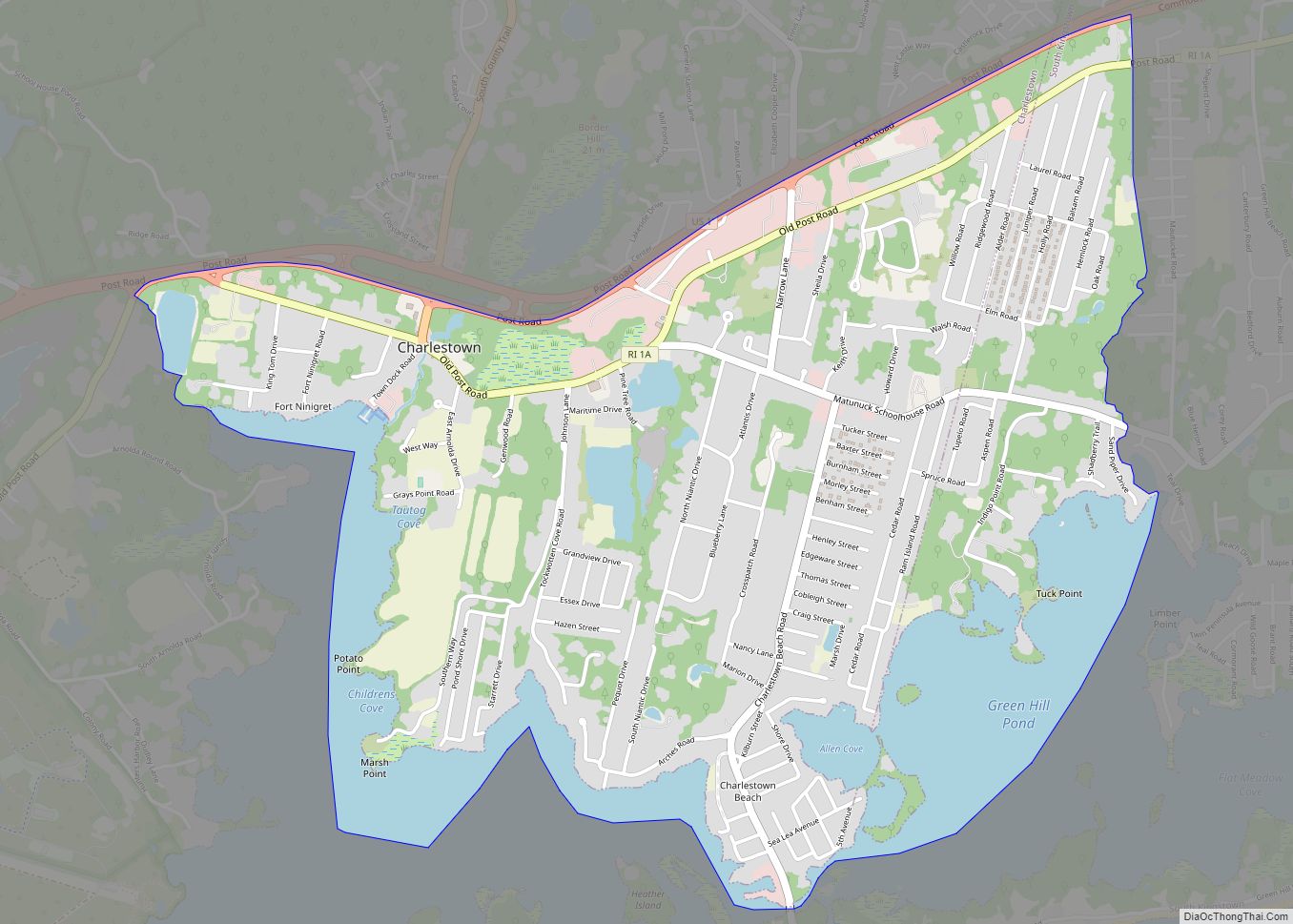
Quonochontaug is a village in Washington County, Rhode Island, United States. It is composed of three small beach communities, and is part of Charlestown.
| Name: | Quonochontaug CDP |
|---|---|
| LSAD Code: | 57 |
| LSAD Description: | CDP (suffix) |
| State: | Rhode Island |
| County: | Washington County |
| Elevation: | 322 ft (98 m) |
| ZIP code: | 02813 |
| Area code: | 401 |
| FIPS code: | 4460260 |
| GNISfeature ID: | 1217618 |
Online Interactive Map
Click on ![]() to view map in "full screen" mode.
to view map in "full screen" mode.
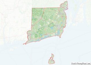
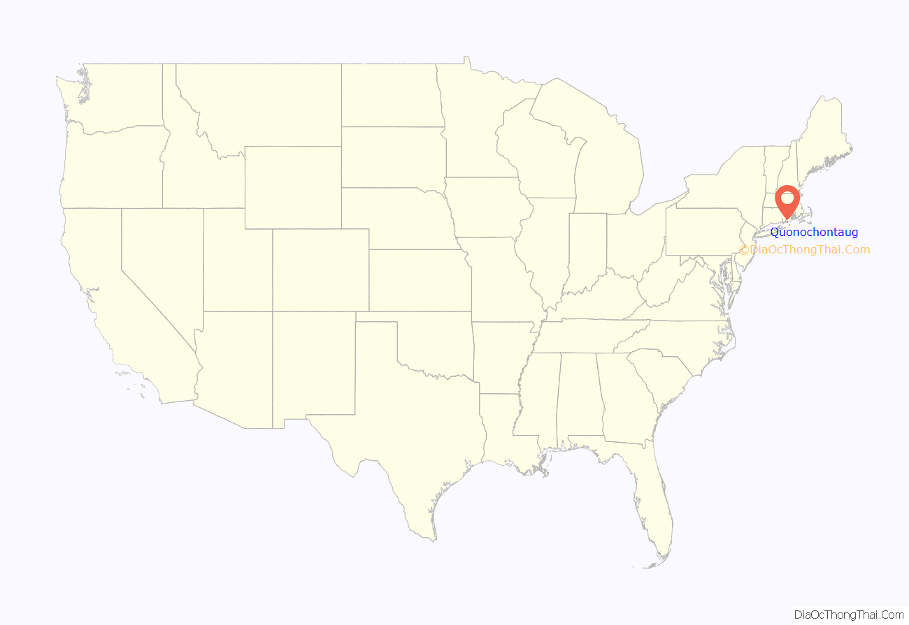
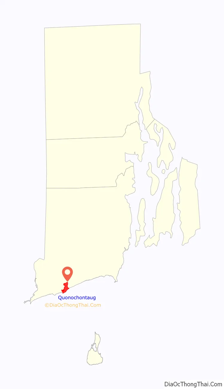
Quonochontaug location map. Where is Quonochontaug CDP?
History
Quonochontaug was the site of an iron mining operation financed by Thomas A. Edison in the 1880s. Iron particles existed in the form of black sand on the beach, and they could be separated out with magnets & melted to produce iron. The venture failed after cheaper iron was later discovered.
Historic places
- Babcock House
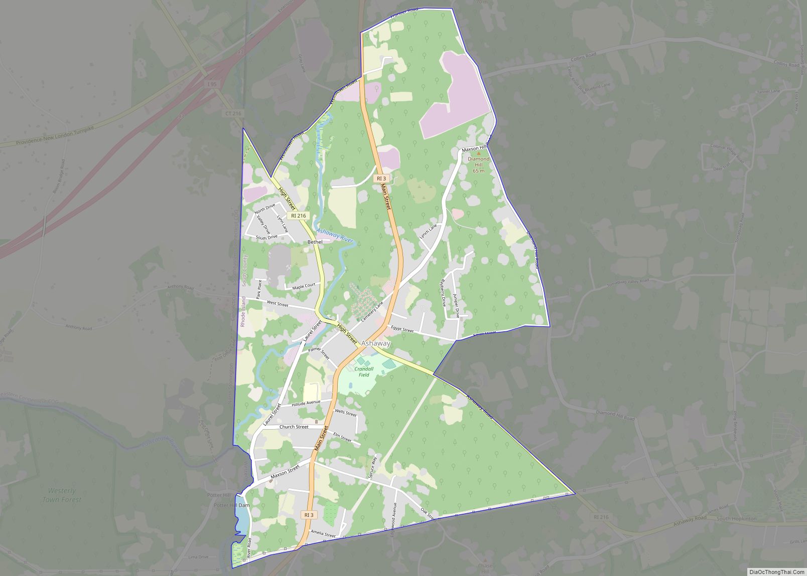
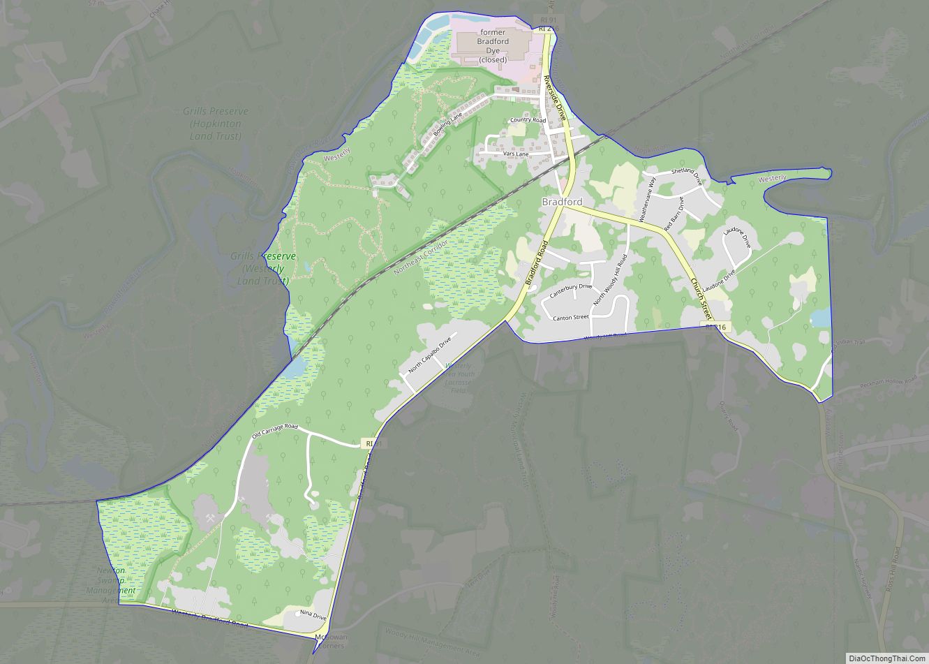
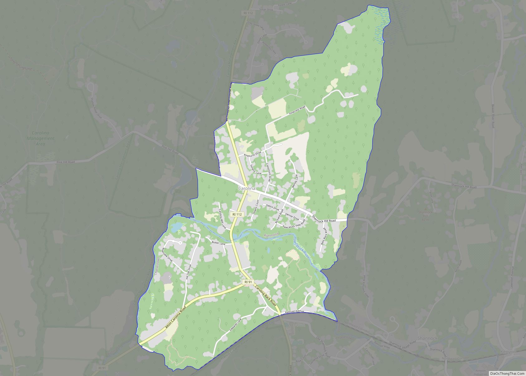
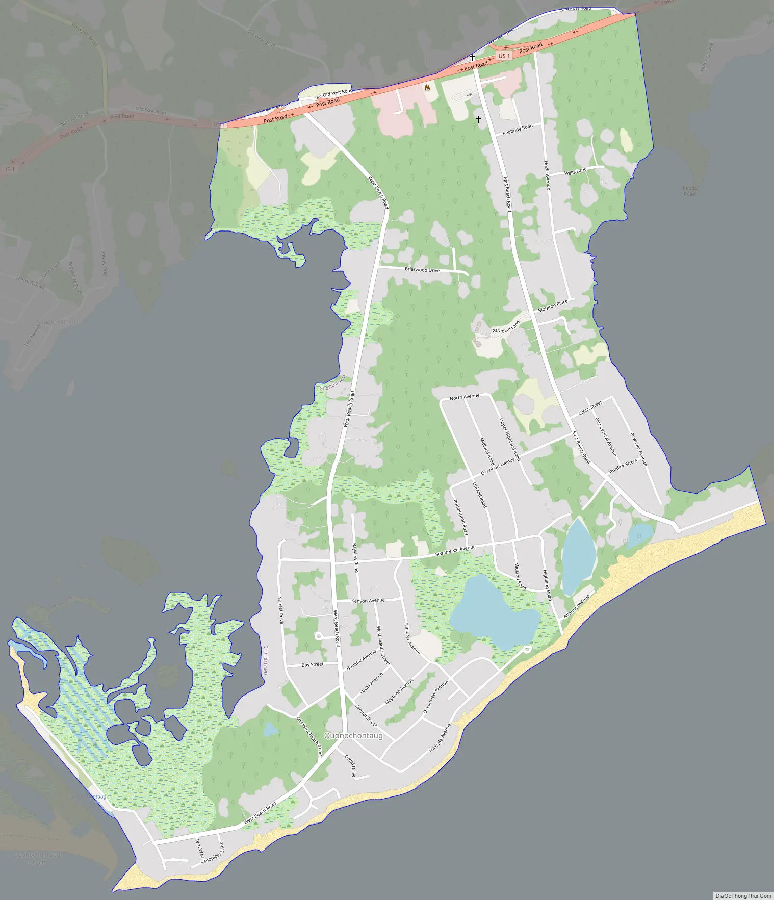
Quonochontaug Road Map
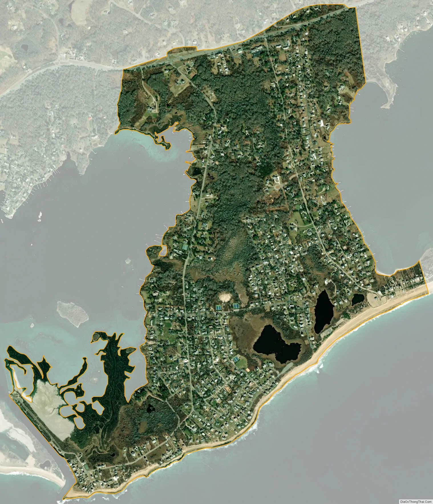
Quonochontaug city Satellite Map
Geography
Quonochontaug is located between the Ninigret Pond and Quonochontaug Pond and their respective barrier beaches, both of which are salt ponds. The communities of West Beach, Central Beach, and East Beach house several hundred residents, mostly in the summers, and many houses are available as summer rentals.
Blue Shutters Beach is town-owned and is located at the end of East Beach Road in Quonochontaug. To the east of Blue Shutters, an unpaved road leads to the entrance of the Ninigret National Wildlife Refuge. The area was listed as a census-designated place in the 2010 census.
See also
Map of Rhode Island State and its subdivision: Map of other states:- Alabama
- Alaska
- Arizona
- Arkansas
- California
- Colorado
- Connecticut
- Delaware
- District of Columbia
- Florida
- Georgia
- Hawaii
- Idaho
- Illinois
- Indiana
- Iowa
- Kansas
- Kentucky
- Louisiana
- Maine
- Maryland
- Massachusetts
- Michigan
- Minnesota
- Mississippi
- Missouri
- Montana
- Nebraska
- Nevada
- New Hampshire
- New Jersey
- New Mexico
- New York
- North Carolina
- North Dakota
- Ohio
- Oklahoma
- Oregon
- Pennsylvania
- Rhode Island
- South Carolina
- South Dakota
- Tennessee
- Texas
- Utah
- Vermont
- Virginia
- Washington
- West Virginia
- Wisconsin
- Wyoming