Weekapaug (/ˈwiːkəpɔːɡ/) is a census-designated place in southern Washington County, Rhode Island, part of the town of Westerly, Rhode Island. The population was 425 at the 2010 census.
| Name: | Weekapaug CDP |
|---|---|
| LSAD Code: | 57 |
| LSAD Description: | CDP (suffix) |
| State: | Rhode Island |
| County: | Washington County |
| Elevation: | 7 ft (2 m) |
| Total Area: | 1.20 sq mi (3.10 km²) |
| Land Area: | 1.16 sq mi (3.01 km²) |
| Water Area: | 0.04 sq mi (0.09 km²) |
| Total Population: | 467 |
| Population Density: | 401.55/sq mi (155.09/km²) |
| ZIP code: | 02891 |
| Area code: | 401 |
| FIPS code: | 4475920 |
| GNISfeature ID: | 2631342 |
Online Interactive Map
Click on ![]() to view map in "full screen" mode.
to view map in "full screen" mode.
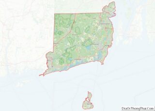
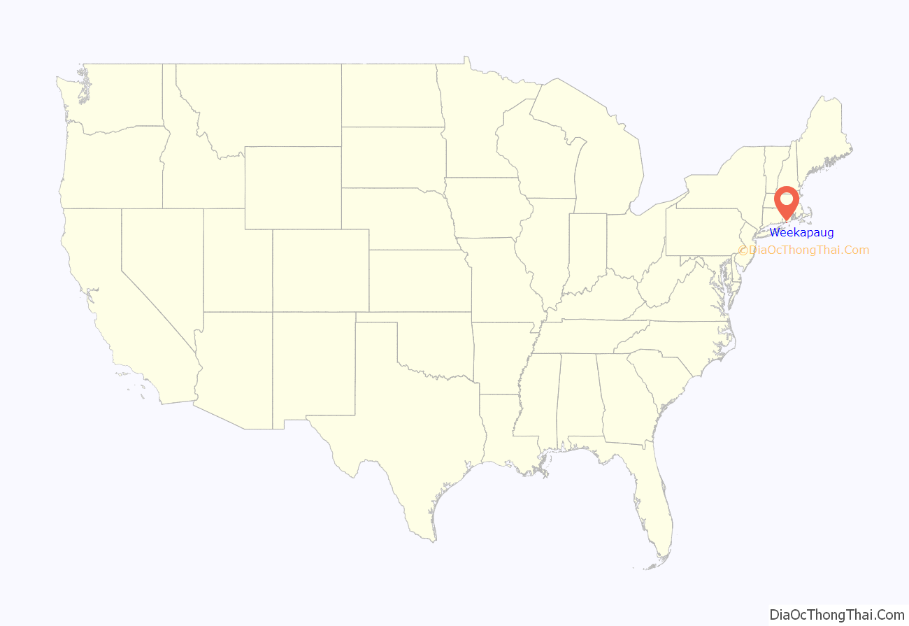
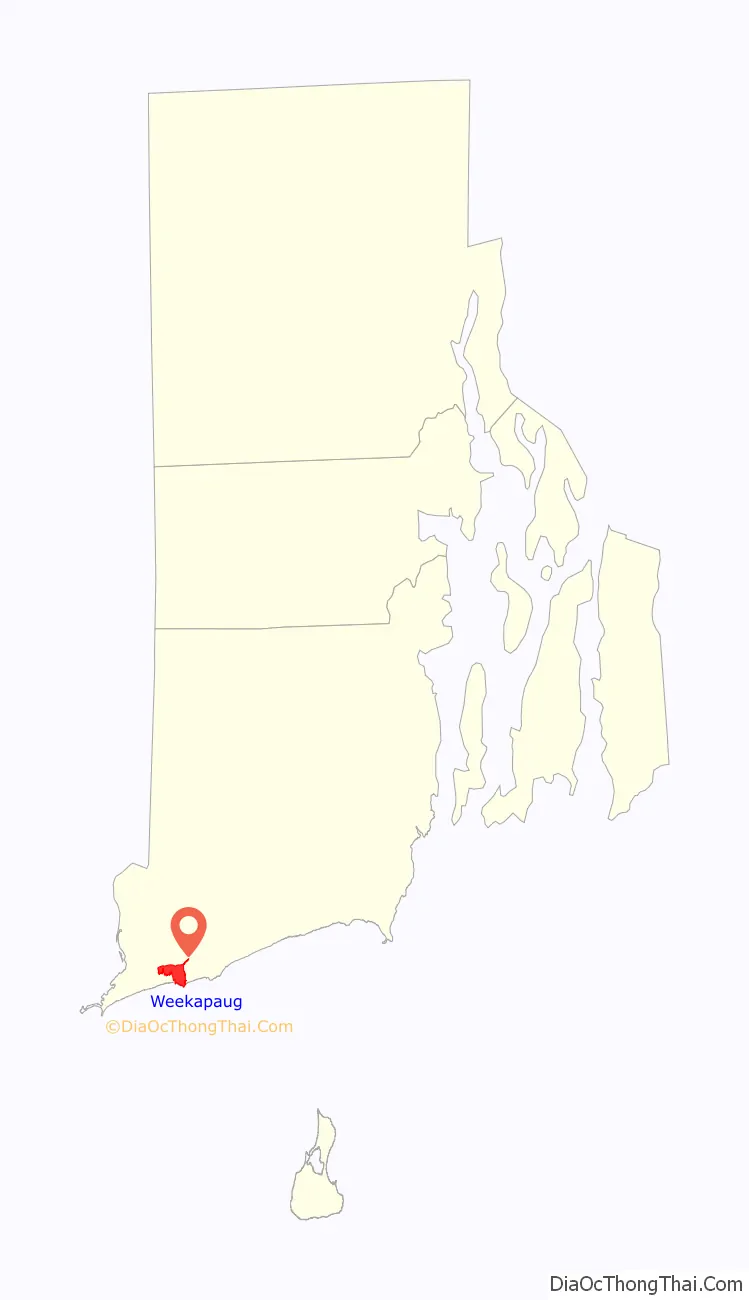
Weekapaug location map. Where is Weekapaug CDP?
History
“Weekapaug” is a Narragansett word meaning “at the end of the pond”. The area is not as well known as neighboring Watch Hill, Rhode Island, even though it has had summer cottages since 1877. It was known as “Noyes Beach” from 1701 to 1899, named after Reverend James Noyes who purchased 300 acres (1.2 km).
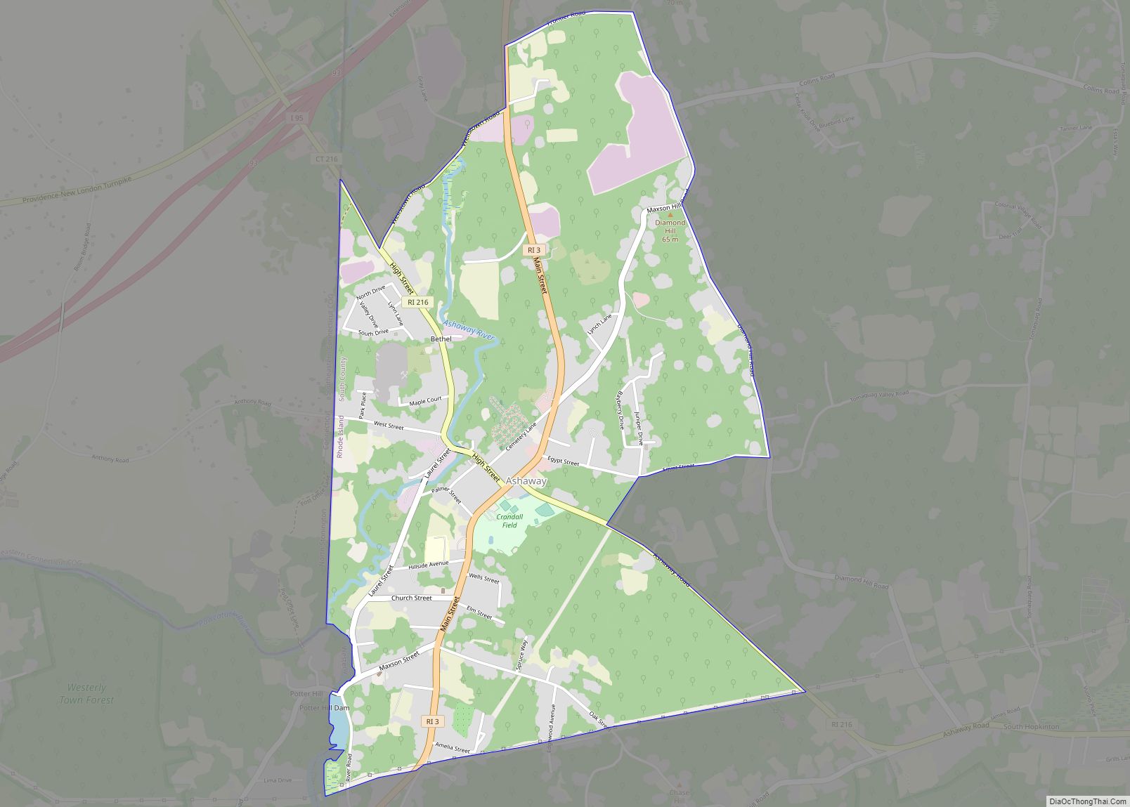
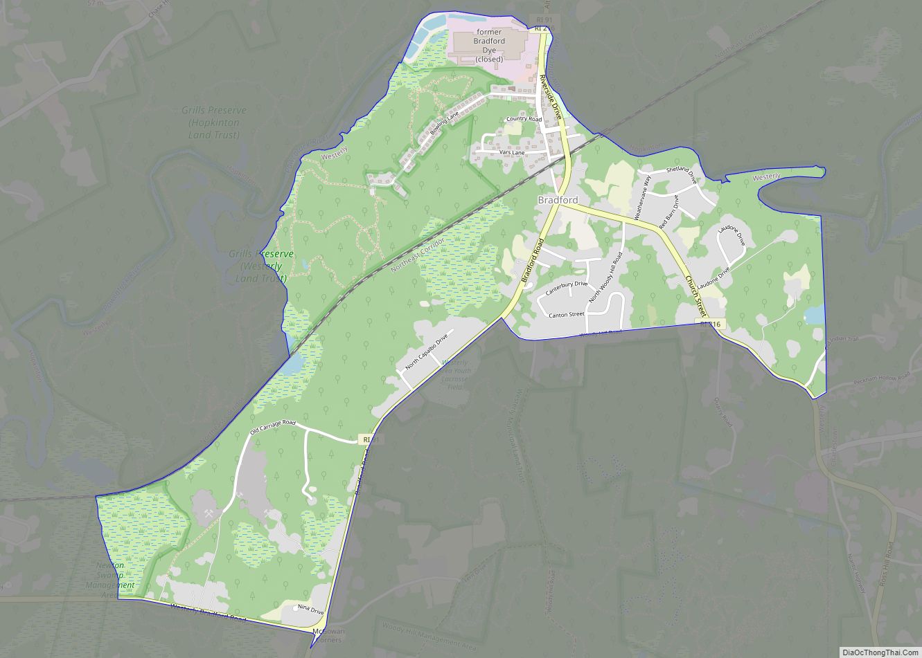
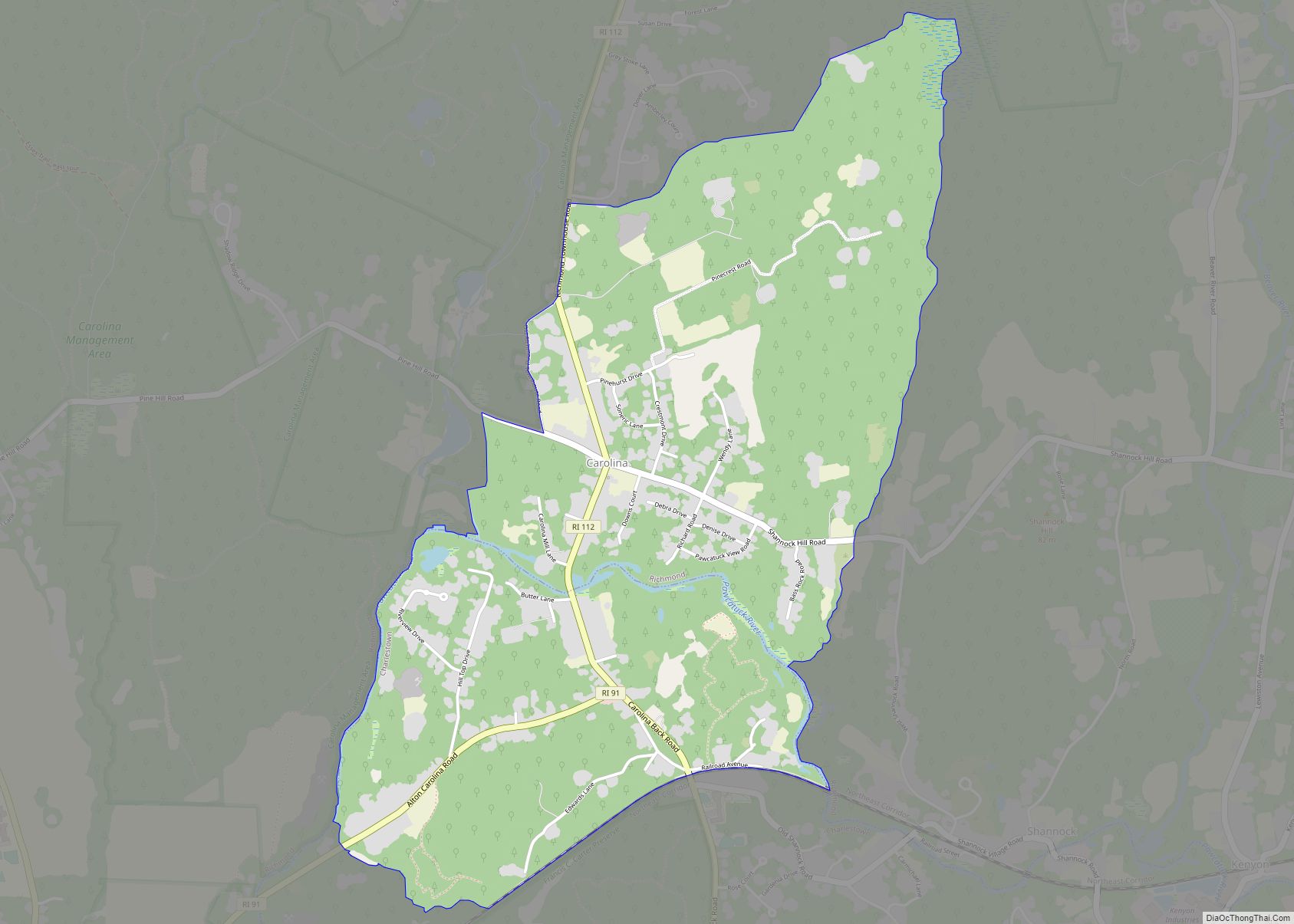
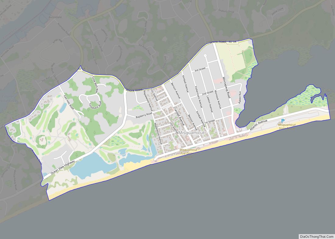
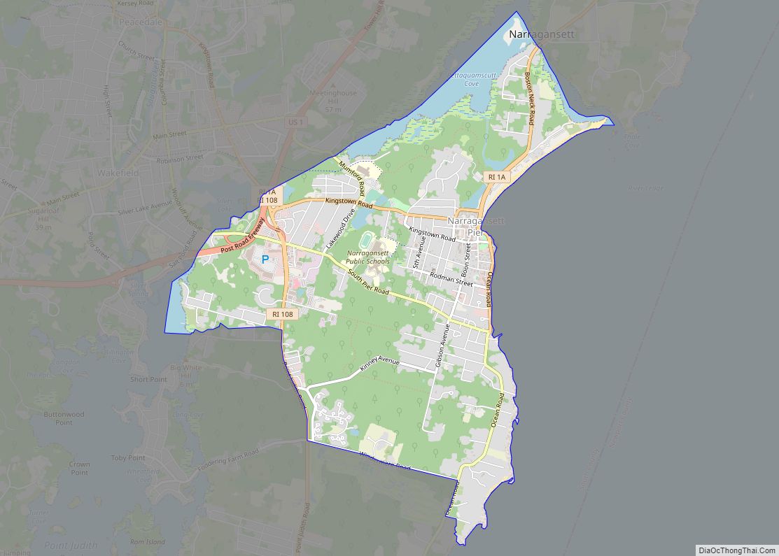
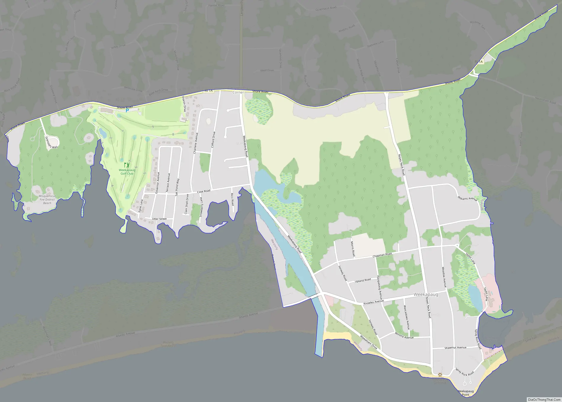
Weekapaug Road Map
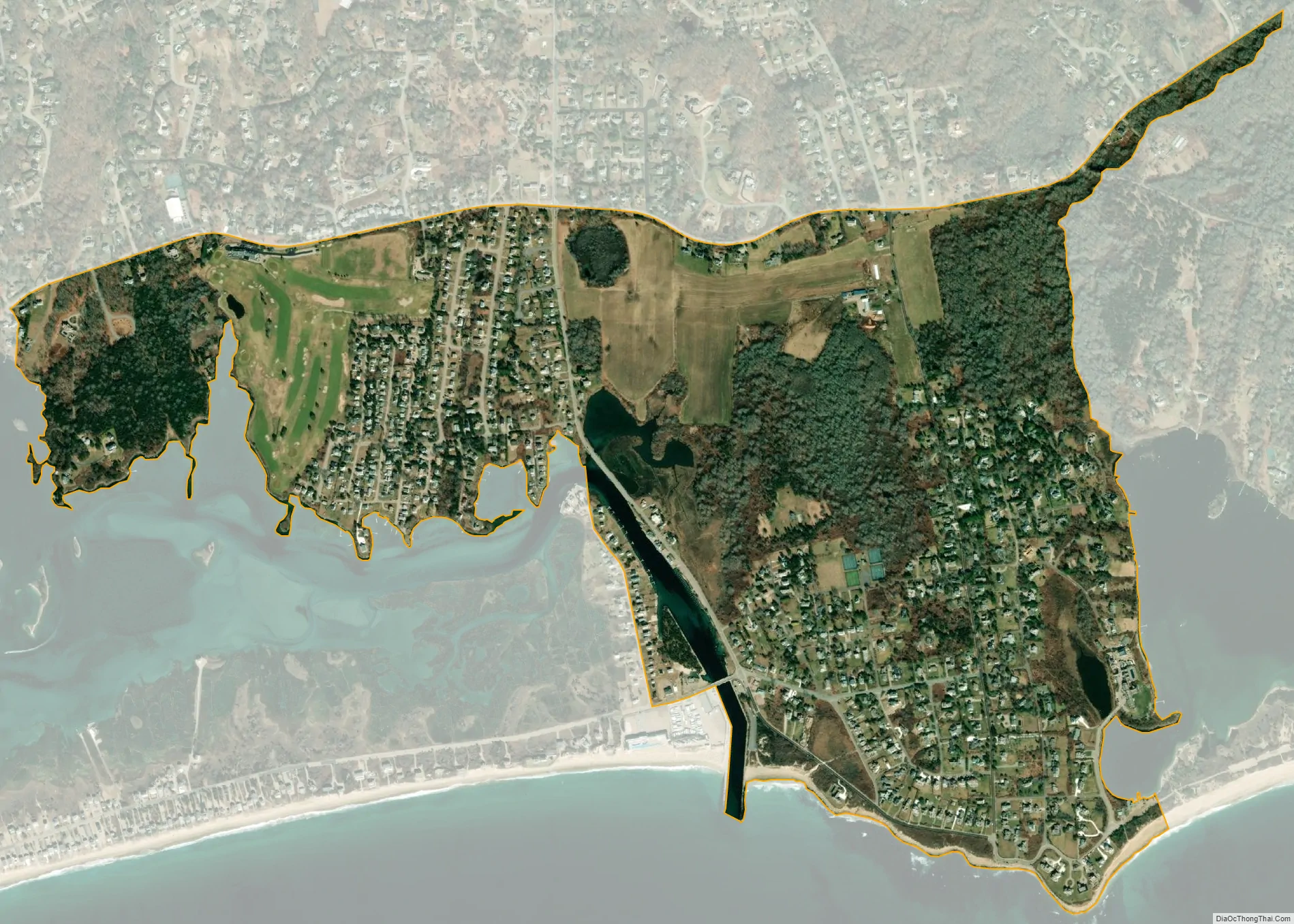
Weekapaug city Satellite Map
Geography
According to the United States Census Bureau, the CDP has a total area of 1.20 mi (3.1 km). 1.16 mi (3.0 km) of it is land and 0.036 mi (0.09 km) of it (3.00%) is water. The Winnapaug and Quonochontaug salt ponds dominate the area. Each pond is open to the Atlantic Ocean via a breachway lined with rock jetties. Most of the rock is granite which is readily available in the Westerly area and used to be its primary industry.
See also
Map of Rhode Island State and its subdivision: Map of other states:- Alabama
- Alaska
- Arizona
- Arkansas
- California
- Colorado
- Connecticut
- Delaware
- District of Columbia
- Florida
- Georgia
- Hawaii
- Idaho
- Illinois
- Indiana
- Iowa
- Kansas
- Kentucky
- Louisiana
- Maine
- Maryland
- Massachusetts
- Michigan
- Minnesota
- Mississippi
- Missouri
- Montana
- Nebraska
- Nevada
- New Hampshire
- New Jersey
- New Mexico
- New York
- North Carolina
- North Dakota
- Ohio
- Oklahoma
- Oregon
- Pennsylvania
- Rhode Island
- South Carolina
- South Dakota
- Tennessee
- Texas
- Utah
- Vermont
- Virginia
- Washington
- West Virginia
- Wisconsin
- Wyoming