Caldwell is a city in Sumner County, Kansas, United States. As of the 2020 census, the population of the city was 1,025.
| Name: | Caldwell city |
|---|---|
| LSAD Code: | 25 |
| LSAD Description: | city (suffix) |
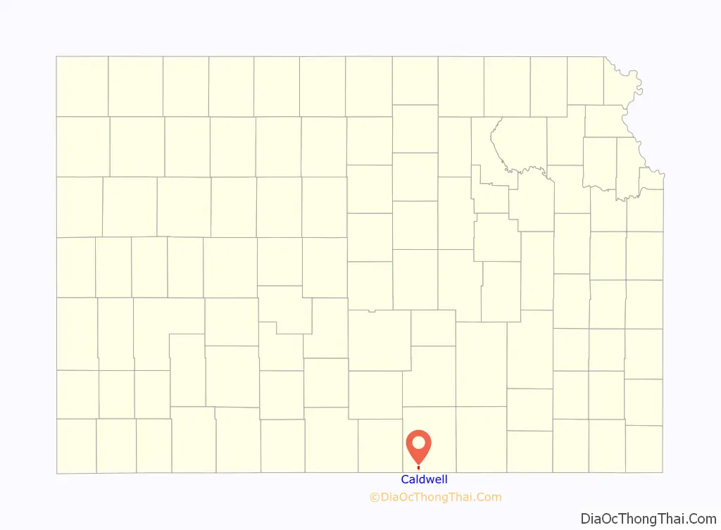
| State: | Kansas |
| County: | Sumner County |
| Founded: | 1871 |
| Incorporated: | 1879 |
| Elevation: | 1,145 ft (349 m) |
| Total Area: | 1.07 sq mi (2.77 km²) |
| Land Area: | 1.07 sq mi (2.77 km²) |
| Water Area: | 0.00 sq mi (0.00 km²) |
| Total Population: | 1,025 |
| Population Density: | 960/sq mi (370/km²) |
| ZIP code: | 67022 |
| Area code: | 620 |
| FIPS code: | 2009900 |
| Website: | cityofcaldwellks.com |
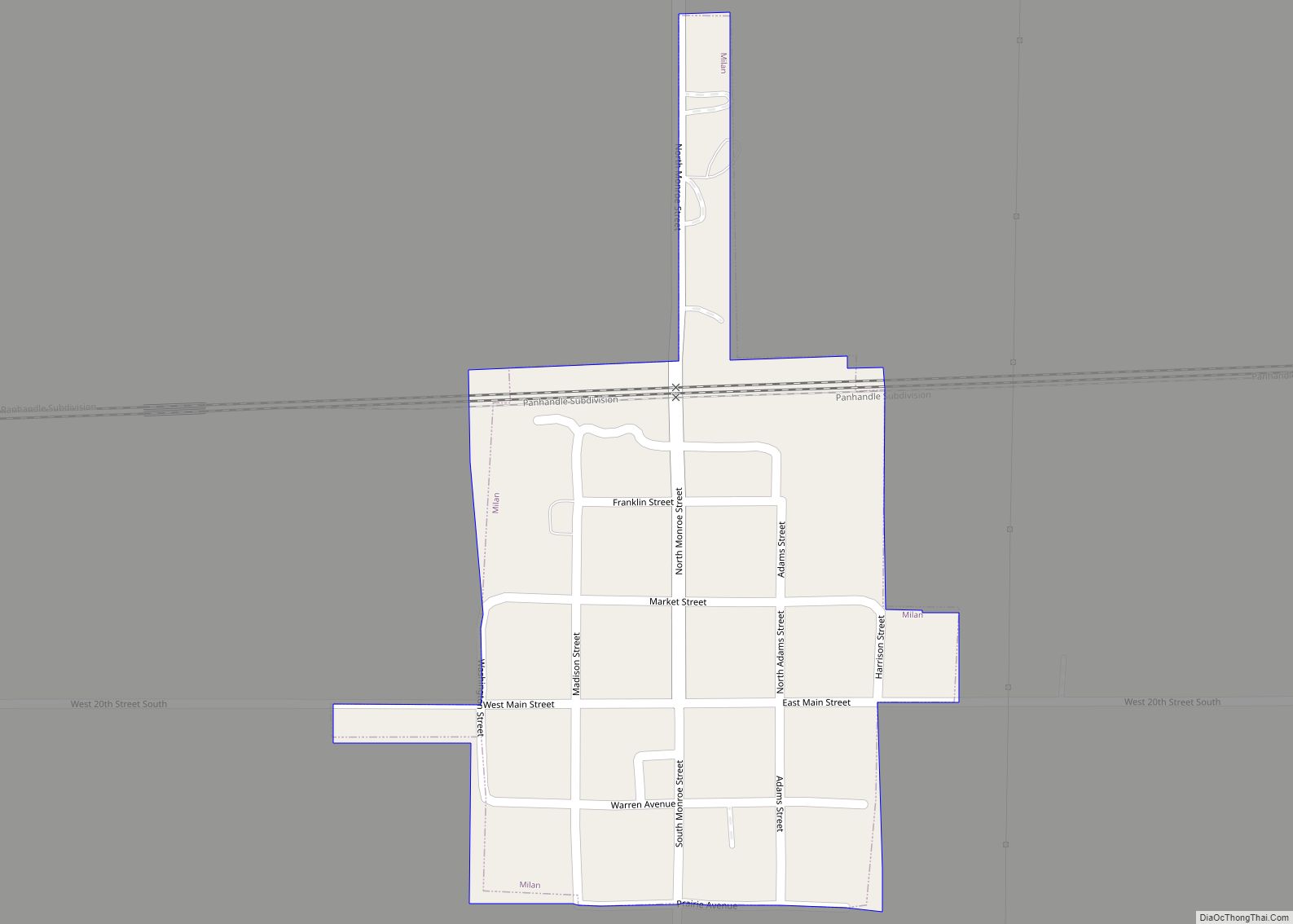
Online Interactive Map
Click on ![]() to view map in "full screen" mode.
to view map in "full screen" mode.
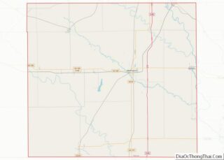
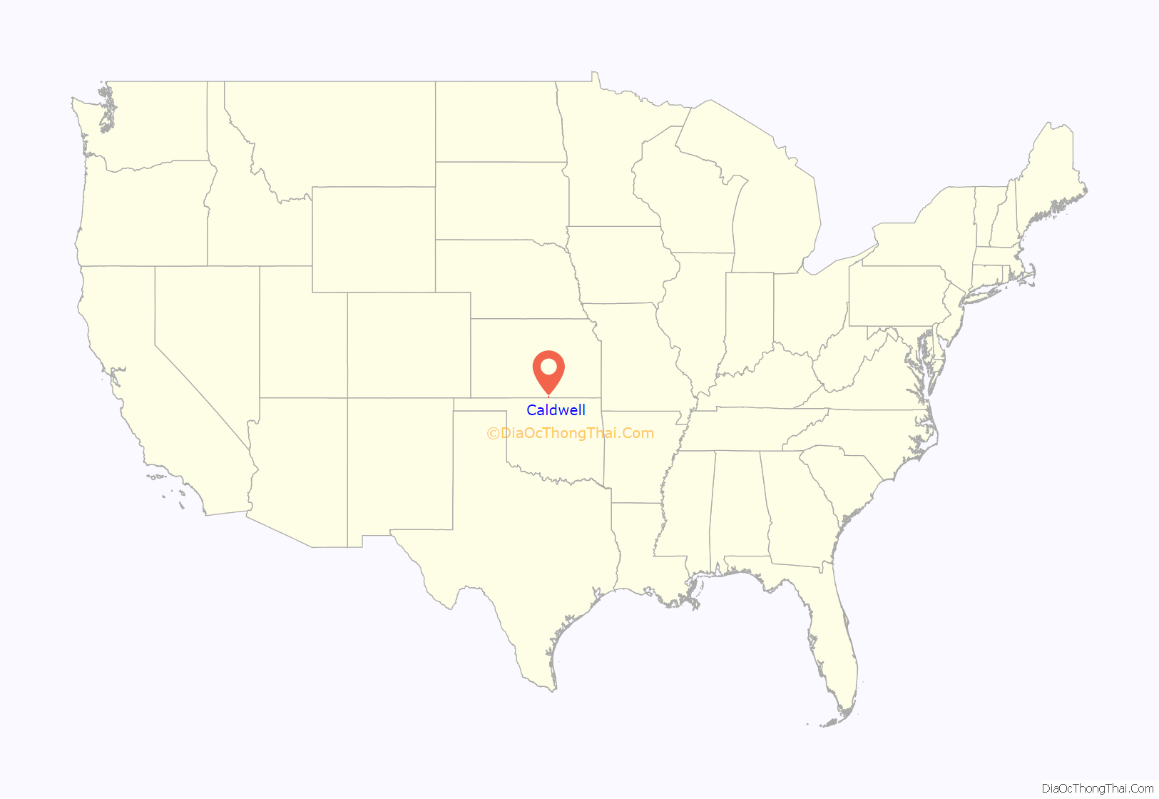
Caldwell location map. Where is Caldwell city?
History
Near Caldwell is a precontact Plains Village period settlement called the Buresh site, which has yielded clues about Native American lifeways prior to the arrival of people of European and African descent.
Caldwell was founded in 1871. It is named for Senator Alexander Caldwell. Caldwell was incorporated as a city in 1879. The first post office in Caldwell was established in May 1871. The Chisholm Trail ran along the east side of the community from 1867 to 1871.
In 1887, the Chicago, Kansas and Nebraska Railway built a branch line north-south from Herington to Caldwell. This branch line connected Herington, Lost Springs, Lincolnville, Antelope, Marion, Aulne, Peabody, Elbing, Whitewater, Furley, Kechi, Wichita, Peck, Corbin, Wellington, Caldwell. This branch line was extended to Pond Creek, Oklahoma in 1888, and connected Caldwell, Renfrow, Medford, Jefferson (the original Pond Creek). By 1893, it was incrementally built to Fort Worth, Texas. This railroad foreclosed in 1891 and was taken over by Chicago, Rock Island and Pacific Railway, which shut down in 1980 and reorganized as Oklahoma, Kansas and Texas Railroad, merged in 1988 with Missouri Pacific Railroad, merged in 1997 with Union Pacific Railroad. Most locals still refer to this railroad as the “Rock Island.”
In 1985 the Caldwell 6th grade class under the direction of their teacher Larry Miller started a successful campaign to have the ornate box turtle named the state reptile of Kansas. They gained support from around the country and on April 14, 1986 the governor of Kansas came to their school and signed the official bill adding a new official symbol to the state of Kansas.
During the annual Homecoming celebration in the fall of 1986 the Mayor of Caldwell signed a proclamation declaring that Caldwell would forever be known as the “Ornate Box Turtle Capital of the World” and a couple of years later a professional wildlife artist was hired to paint a portrait of an ornate box turtle on the side of a downtown building on Main Street.
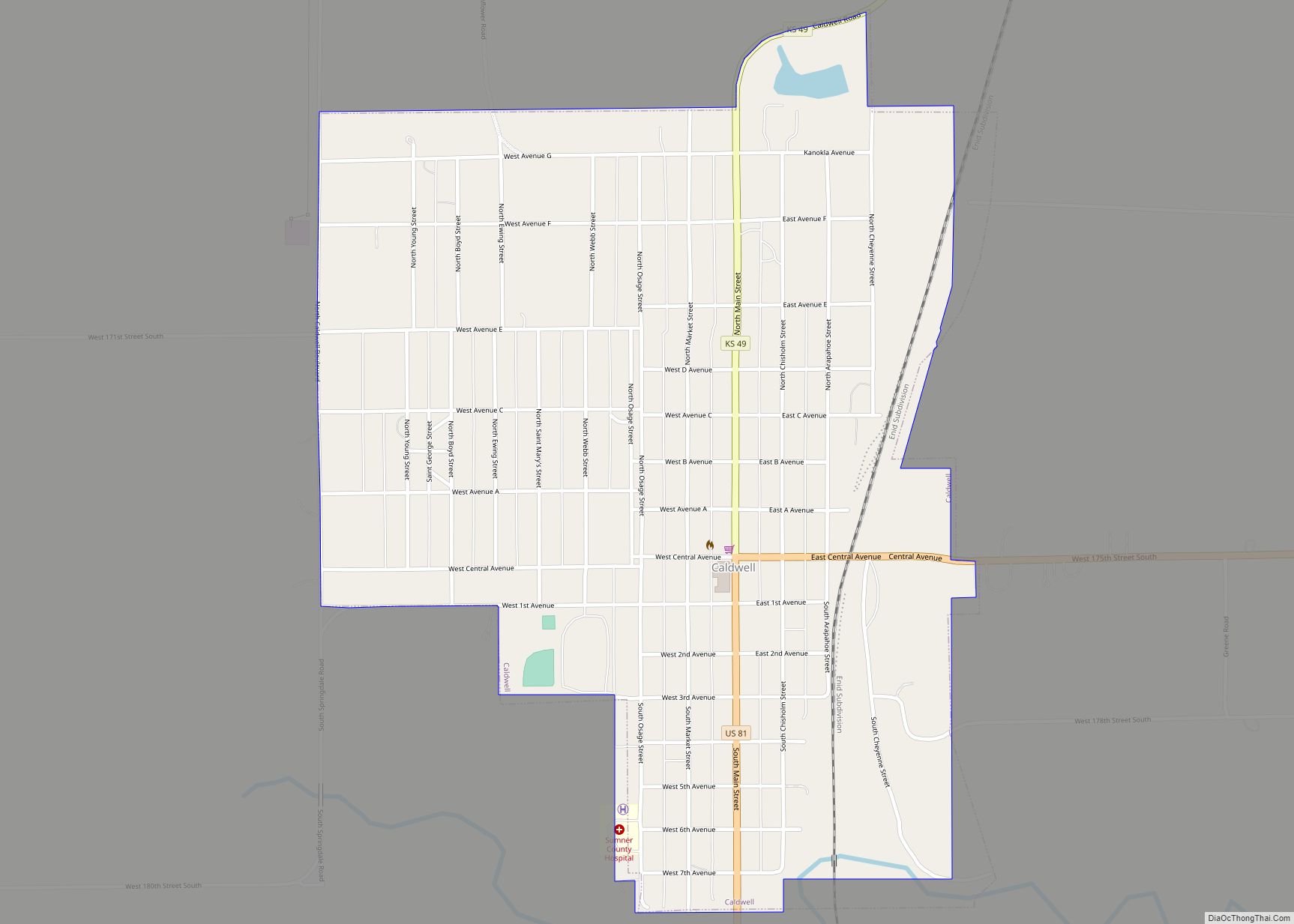
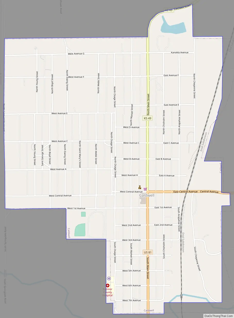
Caldwell Road Map
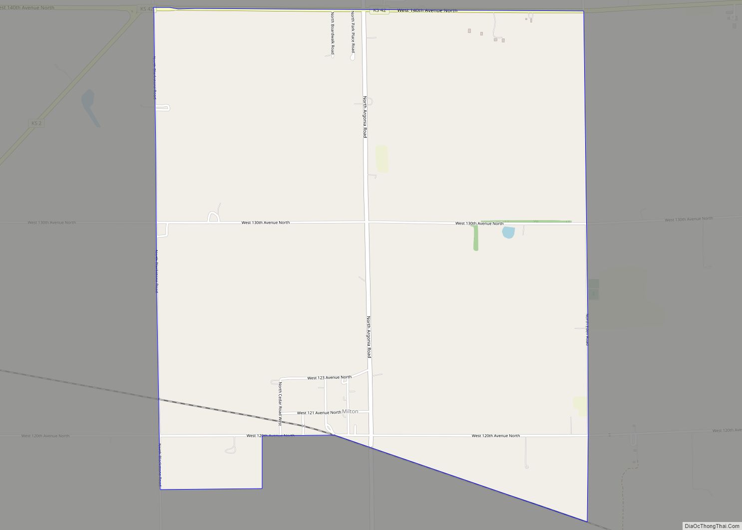
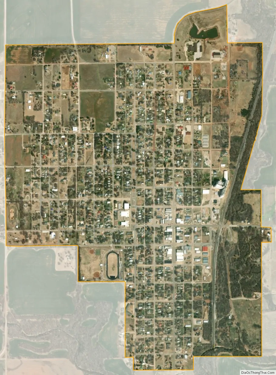
Caldwell city Satellite Map
Geography
Caldwell is located at 37°2′3″N 97°36′32″W / 37.03417°N 97.60889°W / 37.03417; -97.60889 (37.034077, -97.609022). According to the United States Census Bureau, the city has a total area of 1.09 square miles (2.82 km), all of it land.
Climate
The climate in this area is characterized by hot, humid summers and generally mild to cool winters. According to the Köppen Climate Classification system, Caldwell has a humid subtropical climate, abbreviated “Cfa” on climate maps.
See also
Map of Kansas State and its subdivision:- Allen
- Anderson
- Atchison
- Barber
- Barton
- Bourbon
- Brown
- Butler
- Chase
- Chautauqua
- Cherokee
- Cheyenne
- Clark
- Clay
- Cloud
- Coffey
- Comanche
- Cowley
- Crawford
- Decatur
- Dickinson
- Doniphan
- Douglas
- Edwards
- Elk
- Ellis
- Ellsworth
- Finney
- Ford
- Franklin
- Geary
- Gove
- Graham
- Grant
- Gray
- Greeley
- Greenwood
- Hamilton
- Harper
- Harvey
- Haskell
- Hodgeman
- Jackson
- Jefferson
- Jewell
- Johnson
- Kearny
- Kingman
- Kiowa
- Labette
- Lane
- Leavenworth
- Lincoln
- Linn
- Logan
- Lyon
- Marion
- Marshall
- McPherson
- Meade
- Miami
- Mitchell
- Montgomery
- Morris
- Morton
- Nemaha
- Neosho
- Ness
- Norton
- Osage
- Osborne
- Ottawa
- Pawnee
- Phillips
- Pottawatomie
- Pratt
- Rawlins
- Reno
- Republic
- Rice
- Riley
- Rooks
- Rush
- Russell
- Saline
- Scott
- Sedgwick
- Seward
- Shawnee
- Sheridan
- Sherman
- Smith
- Stafford
- Stanton
- Stevens
- Sumner
- Thomas
- Trego
- Wabaunsee
- Wallace
- Washington
- Wichita
- Wilson
- Woodson
- Wyandotte
- Alabama
- Alaska
- Arizona
- Arkansas
- California
- Colorado
- Connecticut
- Delaware
- District of Columbia
- Florida
- Georgia
- Hawaii
- Idaho
- Illinois
- Indiana
- Iowa
- Kansas
- Kentucky
- Louisiana
- Maine
- Maryland
- Massachusetts
- Michigan
- Minnesota
- Mississippi
- Missouri
- Montana
- Nebraska
- Nevada
- New Hampshire
- New Jersey
- New Mexico
- New York
- North Carolina
- North Dakota
- Ohio
- Oklahoma
- Oregon
- Pennsylvania
- Rhode Island
- South Carolina
- South Dakota
- Tennessee
- Texas
- Utah
- Vermont
- Virginia
- Washington
- West Virginia
- Wisconsin
- Wyoming