Wellington is a city in and the county seat of Sumner County, Kansas, United States. As of the 2020 census, the population of the city was 7,715.
| Name: | Wellington city |
|---|---|
| LSAD Code: | 25 |
| LSAD Description: | city (suffix) |
| State: | Kansas |
| County: | Sumner County |
| Founded: | 1870s |
| Incorporated: | 1872 |
| Elevation: | 1,227 ft (374 m) |
| Total Area: | 8.21 sq mi (21.27 km²) |
| Land Area: | 7.32 sq mi (18.96 km²) |
| Water Area: | 0.89 sq mi (2.31 km²) |
| Total Population: | 7,715 |
| Population Density: | 940/sq mi (360/km²) |
| ZIP code: | 67152 |
| Area code: | 620 |
| FIPS code: | 2076475 |
| Website: | cityofwellington.net |
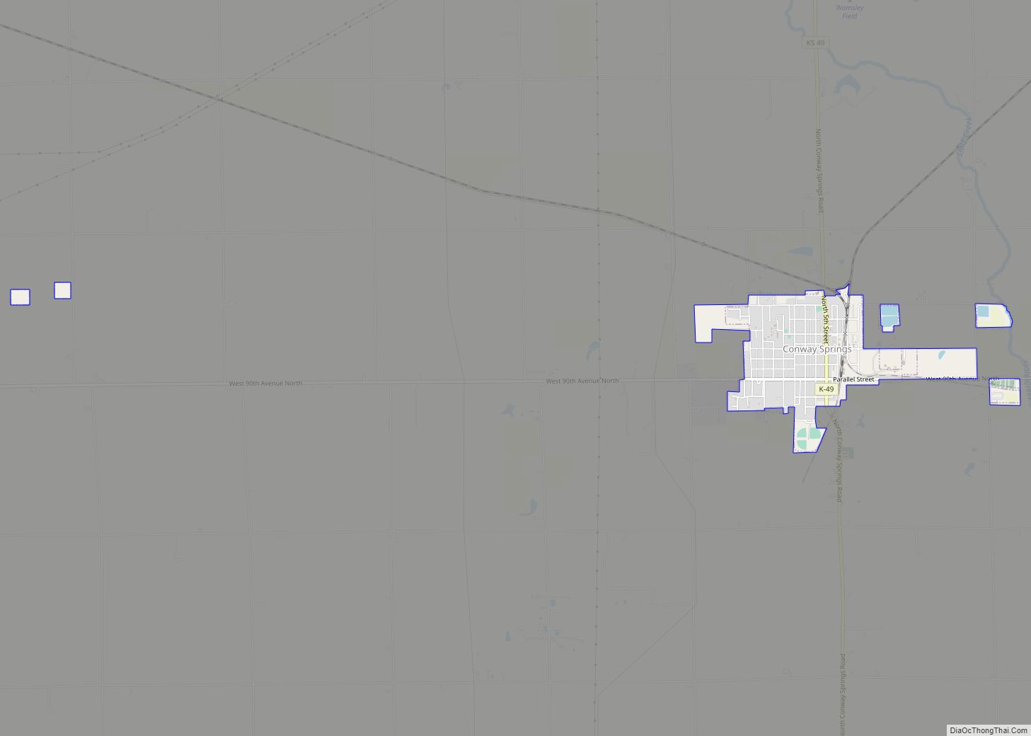
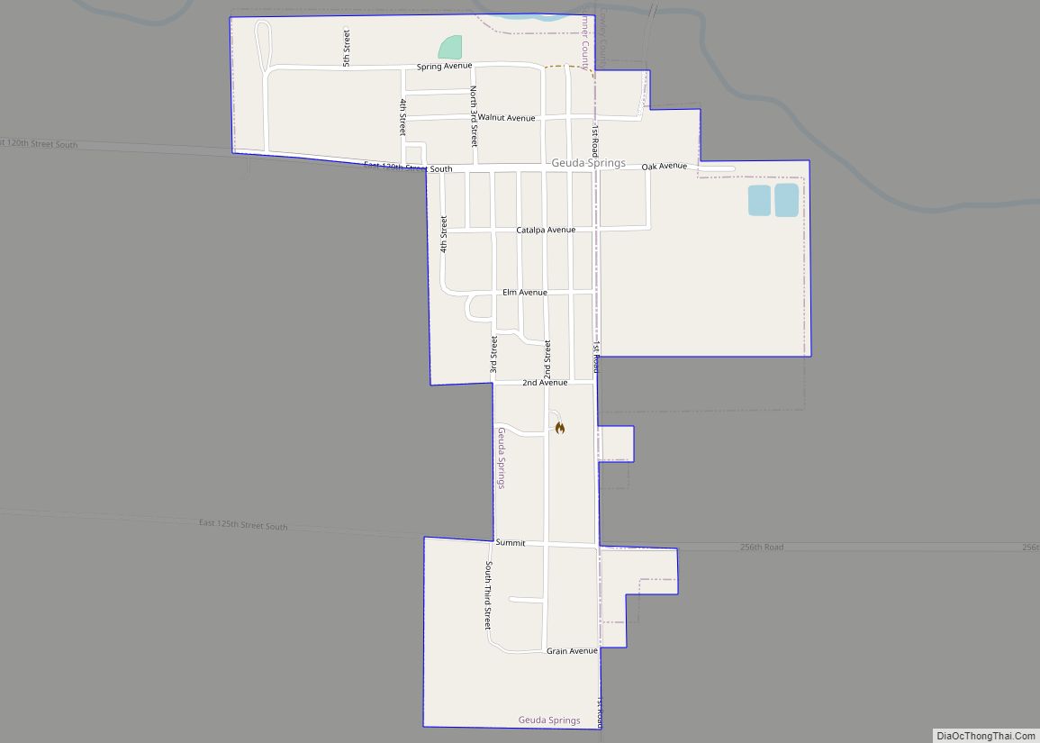
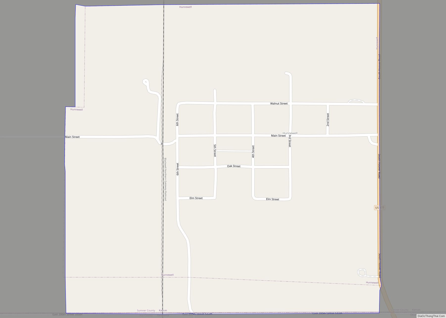
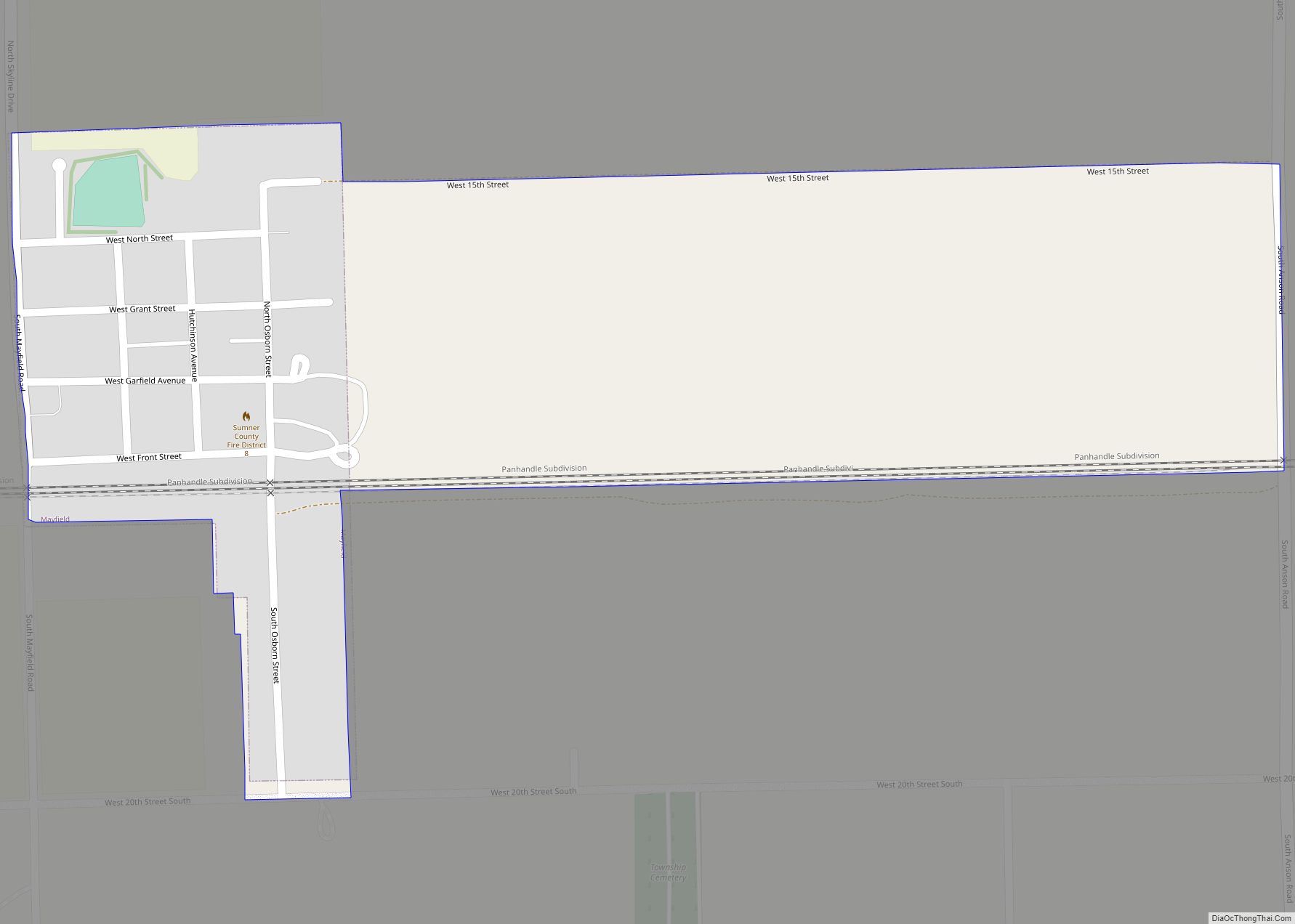
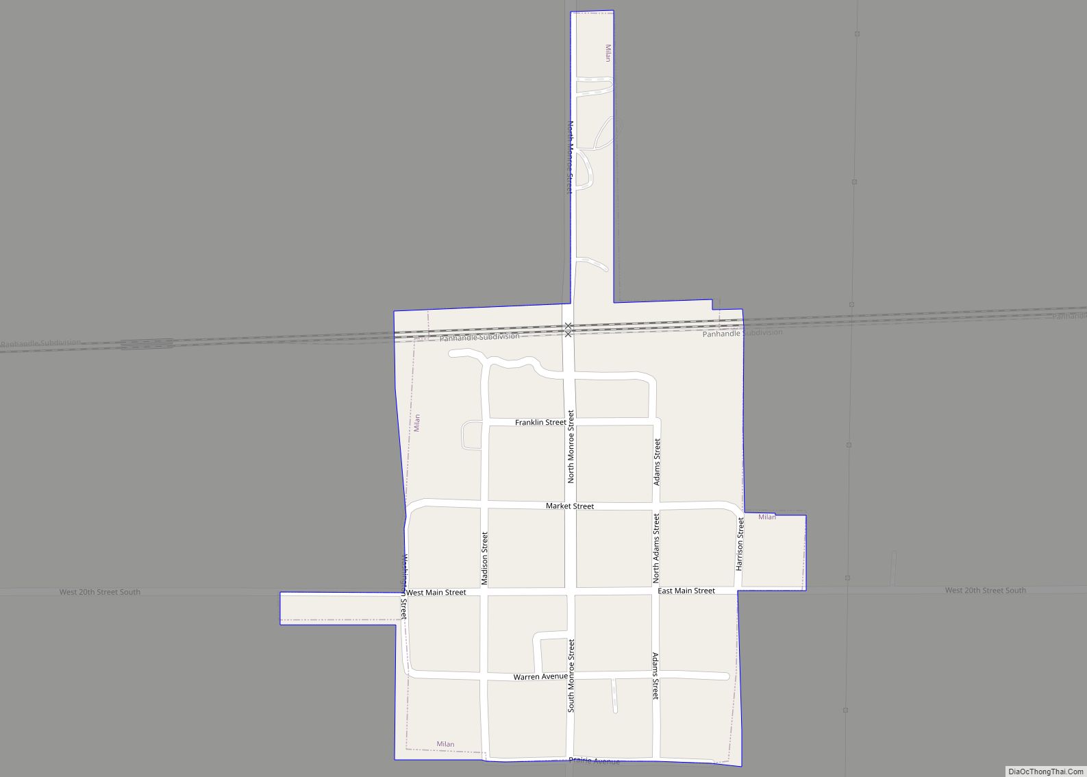
Online Interactive Map
Click on ![]() to view map in "full screen" mode.
to view map in "full screen" mode.
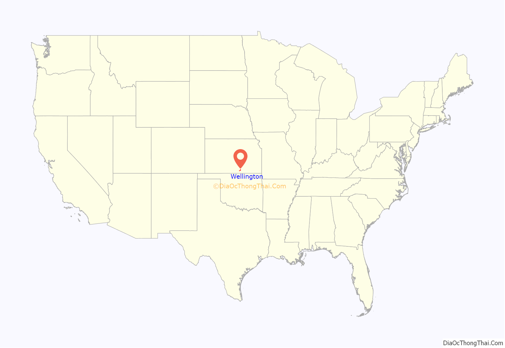
Wellington location map. Where is Wellington city?
History
19th century
Wellington was platted in 1871 and named for the Duke of Wellington. It was designated as the Sumner County seat in 1872, winning out over Sumner City according to the Wellington library. Cattle herders coming up the Chisholm Trail helped to build the early town’s economy.
The first post office in Wellington was established in July 1871.
In 1887, the Chicago, Kansas and Nebraska Railway built a north–south branch line from Herington through Wellington to Caldwell. Creditors foreclosed on it 1891 and the railroad was taken over by Chicago, Rock Island and Pacific Railroad, which shut down in 1980 and reorganized as Oklahoma, Kansas and Texas Railroad, merged in 1988 with Missouri Pacific Railroad, merged in 1997 with Union Pacific Railroad. Most locals still refer to this railroad as the “Rock Island”.
On May 27, 1892, an estimated F4 tornado struck Wellington, destroying 100 homes and 30 businesses, and killing 12 people in town.
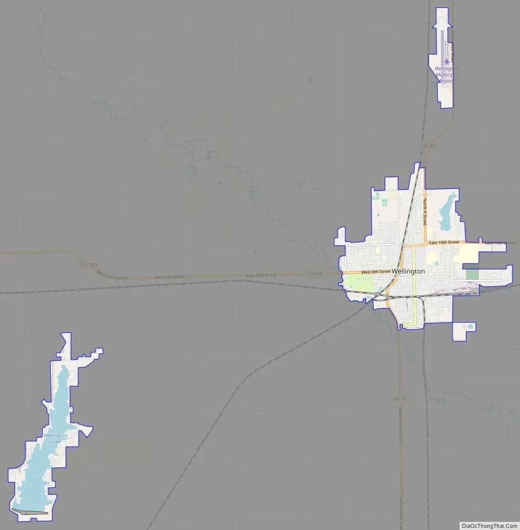
Wellington Road Map
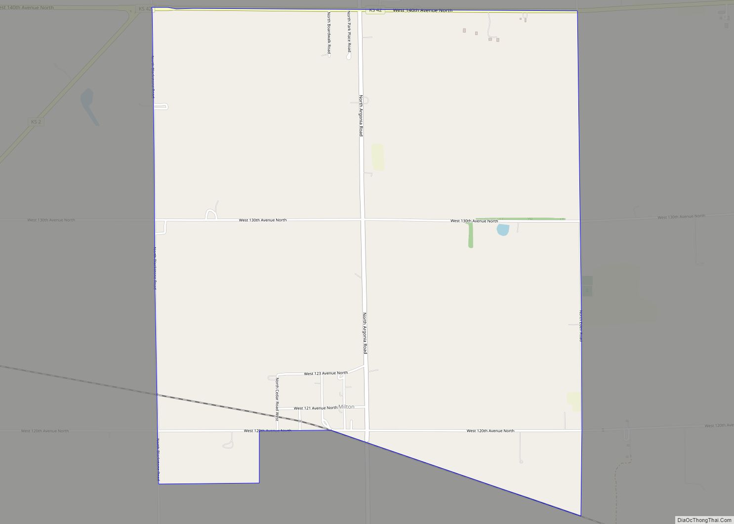
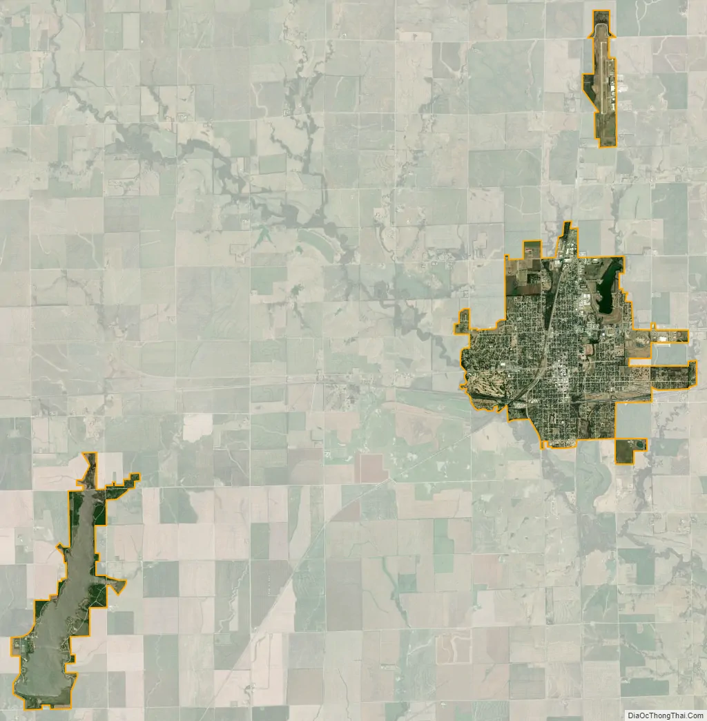
Wellington city Satellite Map
Geography
Wellington is located at 37°15′56.8″N 97°23′52.8″W / 37.265778°N 97.398000°W / 37.265778; -97.398000 (37.265777, -97.398001), at an elevation of 1227 feet. According to the United States Census Bureau, the city has a total area of 8.19 square miles (21.21 km), of which, 7.61 square miles (19.71 km) is land and 0.58 square miles (1.50 km) is water.
Climate
The climate in this area is characterized by hot, humid summers and generally mild to cool winters. According to the Köppen Climate Classification system, Wellington has a humid subtropical climate, abbreviated “Cfa” on climate maps.
See also
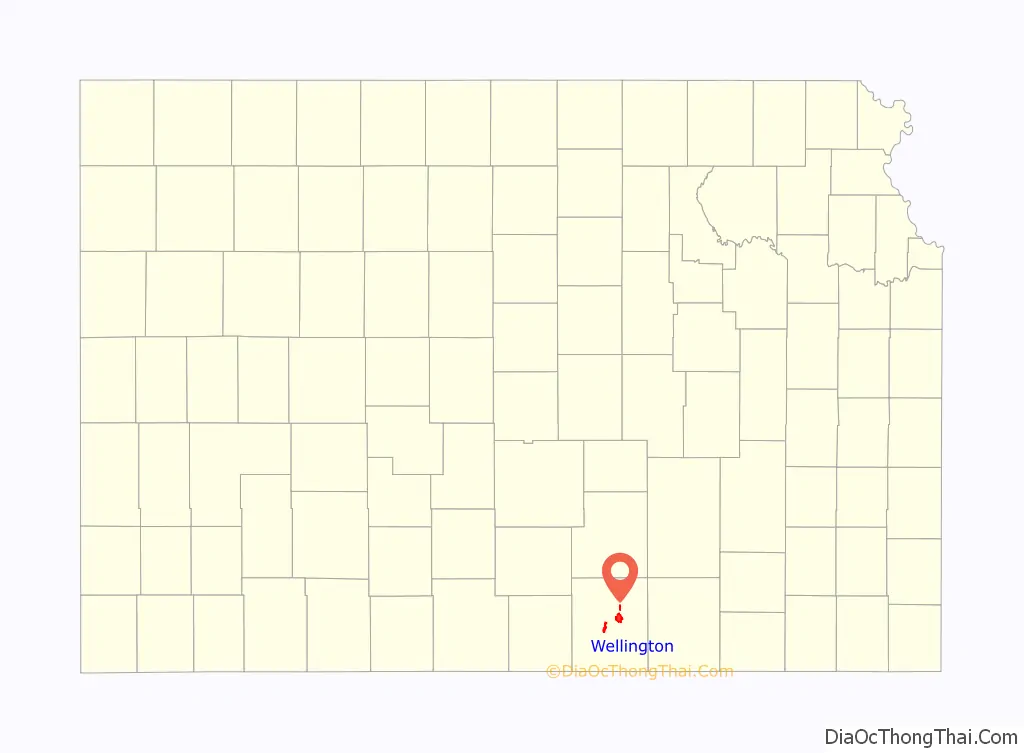
Map of Kansas State and its subdivision:- Allen
- Anderson
- Atchison
- Barber
- Barton
- Bourbon
- Brown
- Butler
- Chase
- Chautauqua
- Cherokee
- Cheyenne
- Clark
- Clay
- Cloud
- Coffey
- Comanche
- Cowley
- Crawford
- Decatur
- Dickinson
- Doniphan
- Douglas
- Edwards
- Elk
- Ellis
- Ellsworth
- Finney
- Ford
- Franklin
- Geary
- Gove
- Graham
- Grant
- Gray
- Greeley
- Greenwood
- Hamilton
- Harper
- Harvey
- Haskell
- Hodgeman
- Jackson
- Jefferson
- Jewell
- Johnson
- Kearny
- Kingman
- Kiowa
- Labette
- Lane
- Leavenworth
- Lincoln
- Linn
- Logan
- Lyon
- Marion
- Marshall
- McPherson
- Meade
- Miami
- Mitchell
- Montgomery
- Morris
- Morton
- Nemaha
- Neosho
- Ness
- Norton
- Osage
- Osborne
- Ottawa
- Pawnee
- Phillips
- Pottawatomie
- Pratt
- Rawlins
- Reno
- Republic
- Rice
- Riley
- Rooks
- Rush
- Russell
- Saline
- Scott
- Sedgwick
- Seward
- Shawnee
- Sheridan
- Sherman
- Smith
- Stafford
- Stanton
- Stevens
- Sumner
- Thomas
- Trego
- Wabaunsee
- Wallace
- Washington
- Wichita
- Wilson
- Woodson
- Wyandotte
- Alabama
- Alaska
- Arizona
- Arkansas
- California
- Colorado
- Connecticut
- Delaware
- District of Columbia
- Florida
- Georgia
- Hawaii
- Idaho
- Illinois
- Indiana
- Iowa
- Kansas
- Kentucky
- Louisiana
- Maine
- Maryland
- Massachusetts
- Michigan
- Minnesota
- Mississippi
- Missouri
- Montana
- Nebraska
- Nevada
- New Hampshire
- New Jersey
- New Mexico
- New York
- North Carolina
- North Dakota
- Ohio
- Oklahoma
- Oregon
- Pennsylvania
- Rhode Island
- South Carolina
- South Dakota
- Tennessee
- Texas
- Utah
- Vermont
- Virginia
- Washington
- West Virginia
- Wisconsin
- Wyoming