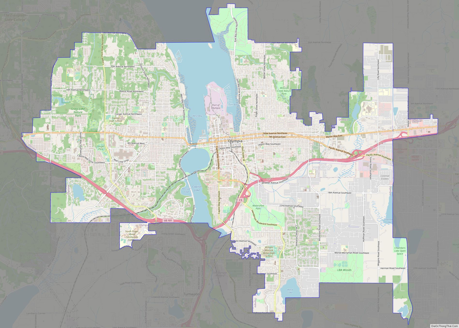
Olympia is the capital of the U.S. state of Washington and the county seat and largest city of Thurston County. It is 60 miles (100 km) southwest of the state’s most populous city, Seattle, and is a cultural center of the southern Puget Sound region.
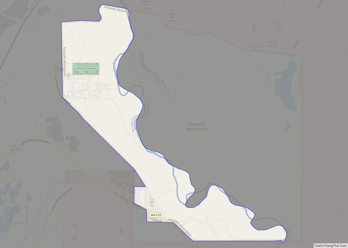
The Squaxin and other Coast Salish peoples inhabited the southern Puget Sound region prior to the arrival of European and American settlers in the 19th century. The Treaty of Medicine Creek was signed in 1854 and followed by the Treaty of Olympia in 1856; these two treaties forced the Squaxin to relocate to an Indian reservation. Olympia was incorporated as a town on January 28, 1859, and as a city in 1882. It had a population of 55,605 at the time of the 2020 census, making it the state’s 23rd-largest city. Olympia borders Lacey to the east and Tumwater to the south.
| Name: | Olympia city |
|---|---|
| LSAD Code: | 25 |
| LSAD Description: | city (suffix) |
| State: | Washington |
| County: | Thurston County |
| Incorporated: | January 28, 1859 |
| Elevation: | 95 ft (29 m) |
| Land Area: | 18.23 sq mi (47.20 km²) |
| Water Area: | 1.87 sq mi (4.82 km²) |
| Population Density: | 2,902.26/sq mi (1,120.58/km²) |
| ZIP code: | 98501-98599 |
| Area code: | 360, 564 |
| FIPS code: | 5351300 |
| GNISfeature ID: | 1533353 |
| Website: | olympiawa.gov |
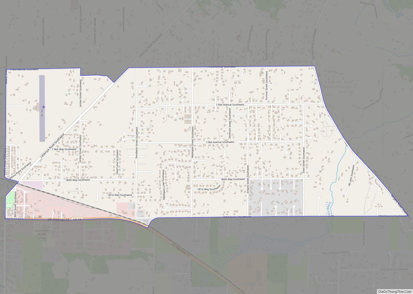
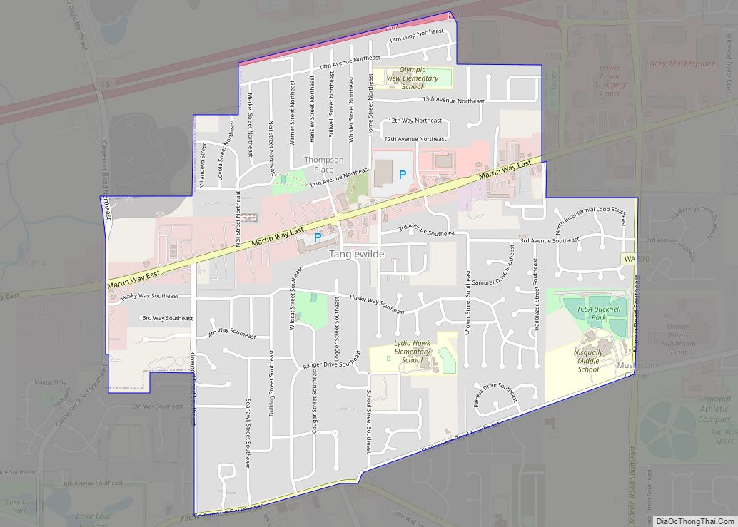
Online Interactive Map
Click on ![]() to view map in "full screen" mode.
to view map in "full screen" mode.
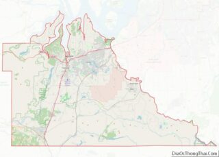
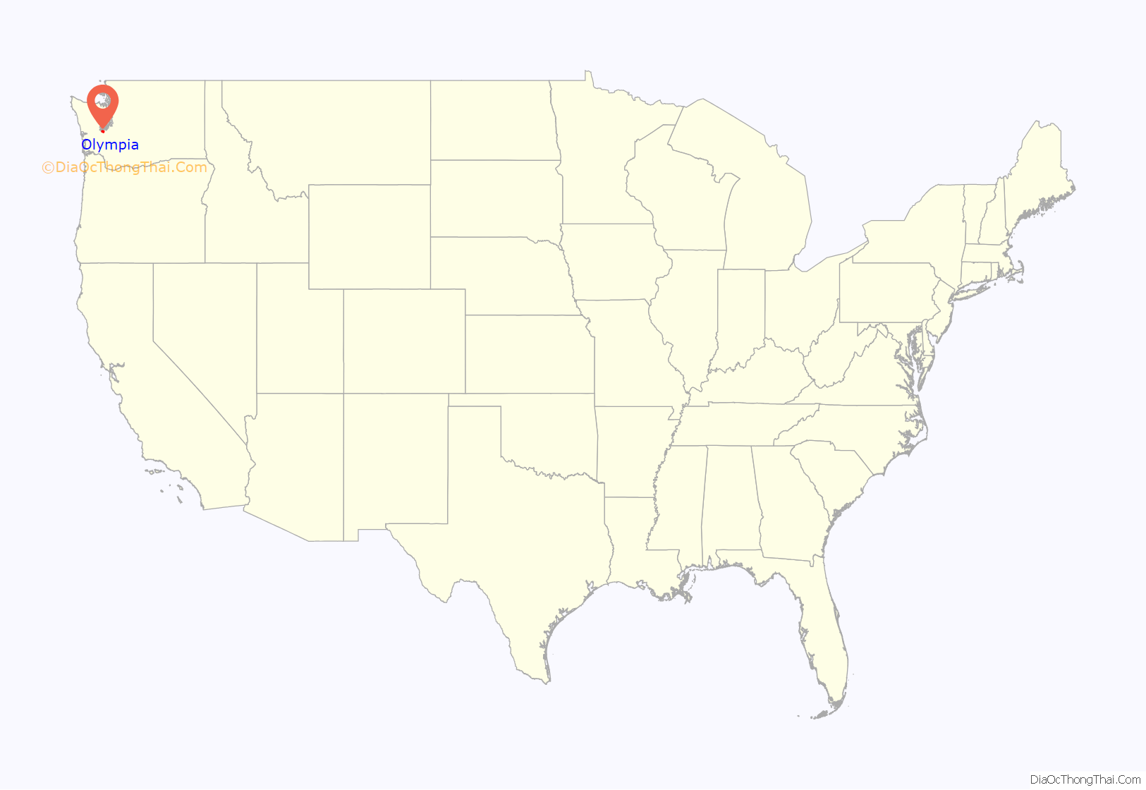
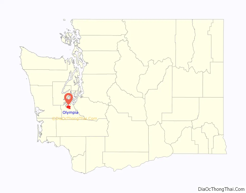
Olympia location map. Where is Olympia city?
History
The site of Olympia had been home to Lushootseed-speaking peoples known as the Steh-Chass (or Stehchass, later part of the post-treaty Squaxin Island Tribe) for thousands of years. Other Native Americans regularly visited the head of Budd Inlet and the Steh-Chass, including the other ancestor tribes of the Squaxin, as well as the Nisqually, Puyallup, Chehalis, Suquamish, and Duwamish. The first recorded Europeans came to Olympia in 1792. Peter Puget and a crew from the British Vancouver Expedition are said to have explored the site, but neither recorded any encounters with the resident Indigenous population. In 1846, Edmund Sylvester and Levi Lathrop Smith jointly claimed the land that is now downtown Olympia. In 1851, the U.S. Congress established the Customs District of Puget Sound for Washington Territory and Olympia became the home of the customs house. Its population steadily expanded from Oregon Trail immigrants. In 1850, the town settled on the name Olympia, at local resident Colonel Isaac N. Ebey’s suggestion, because of its view of the Olympic Mountains to the northwest. The area began to be served by a small fleet of steamboats known as the Puget Sound Mosquito Fleet.
Over two days, December 24–26, 1854, Governor Isaac I. Stevens negotiated the Treaty of Medicine Creek with the representatives of the Nisqually, Puyallup, Squawksin, Steh’Chass, Noo-Seh-Chatl, Squi-Aitl, T’Peeksin, Sah-Heh-Wa-Mish, and S’Hotl-Ma-Mish tribes. Stevens’s treaty included the preservation of Indigenous fishing, hunting, gathering and other rights. It also included a section which, at least as interpreted by United States officials, required the Native American signatories to move to one of three reservations. Doing so would effectively force the Nisqually people to cede their prime farming and living space. One of the leaders of the Nisqually, Chief Leschi, outraged, refused to give up ownership of this land and instead fought for his people’s right to their territory, sparking the beginning of the Puget Sound War. The war ended with Leschi’s capture in 1856; he was executed two years later.
The 1949 Olympia earthquake damaged many historic buildings beyond repair, and they were demolished. Parts of the city also suffered damage from earthquakes in 1965 and 2001.
Interstate 5 was built through the south side of the city in the late 1950s as a replacement for earlier highways that traveled through downtown Olympia. The freeway was originally planned to cut through the city, but was moved further out to save costs. It opened to traffic on December 12, 1958, and was later expanded in 1991.
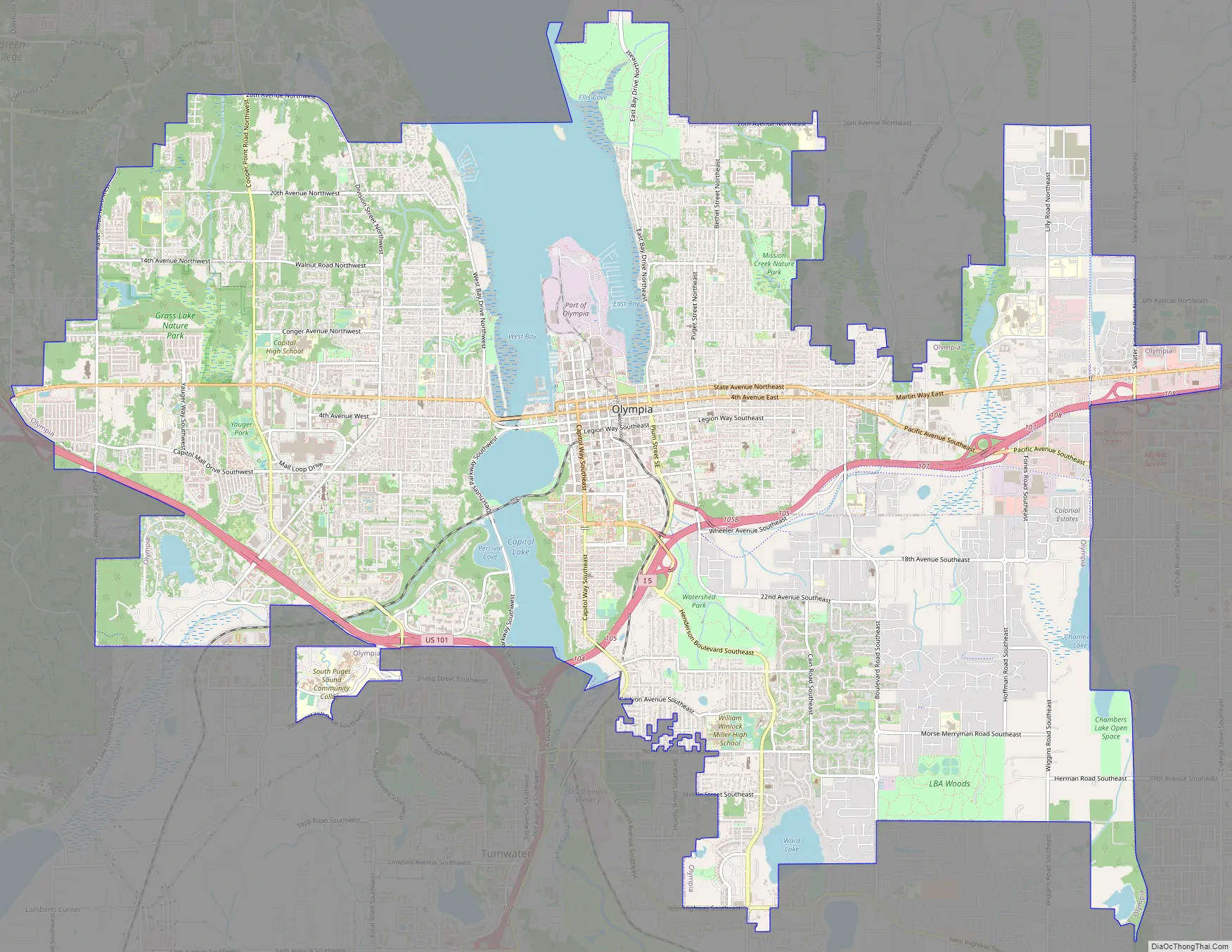
Olympia Road Map
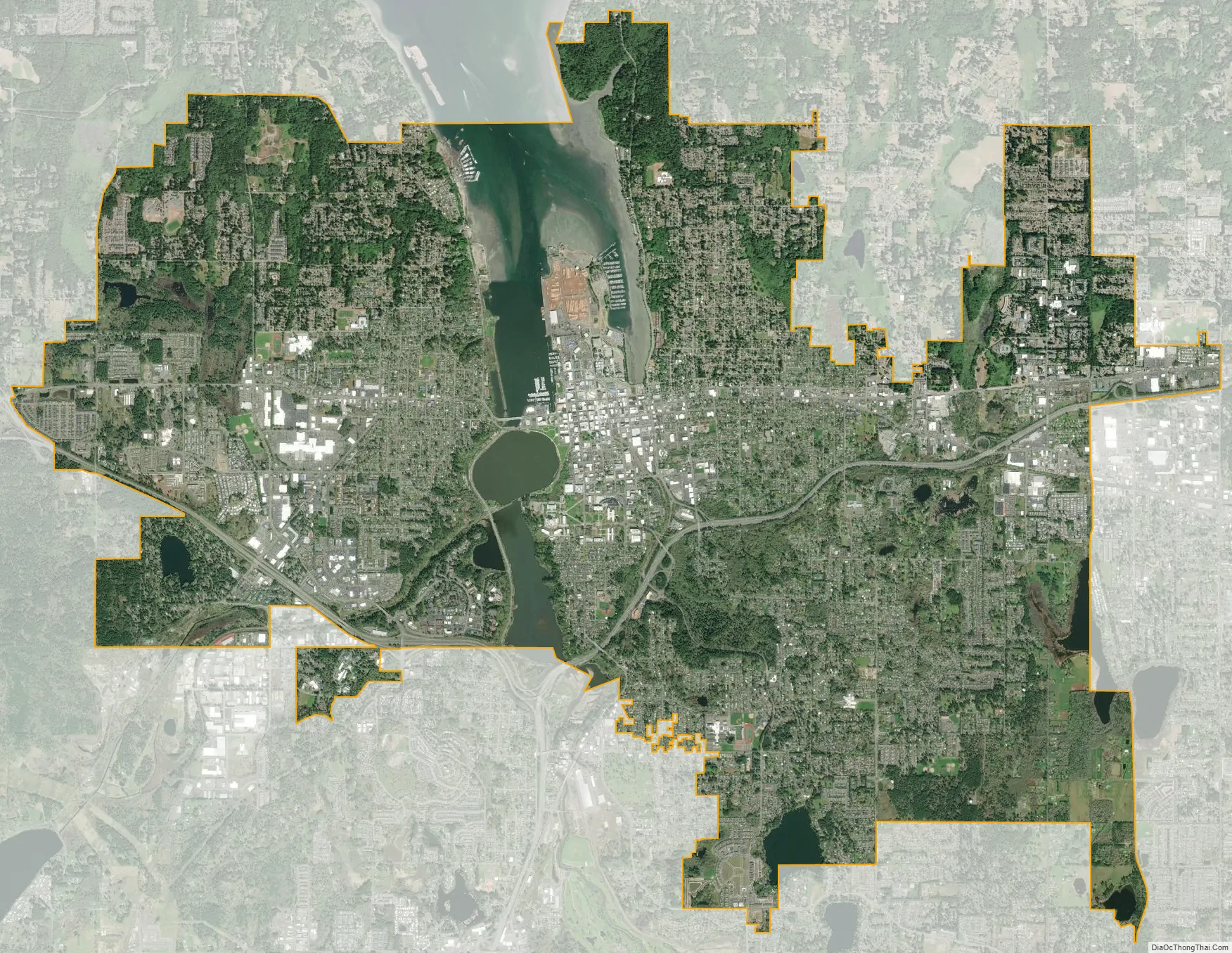
Olympia city Satellite Map
Geography
According to the United States Census Bureau, the city has an area of 19.68 square miles (50.97 km), of which 17.82 sq mi (46.15 km) is land and 1.86 sq mi (4.82 km) is water. The cities of Lacey and Tumwater border Olympia.
Olympia is at the southern end of Puget Sound on Budd Inlet, where the Deschutes River estuary enters the Sound. The river was dammed in 1951 to create Capitol Lake; in late 2022 the state government approved the dam’s removal to restore the estuary at an unspecified date.
The area is located near the southern limit of the Fraser Glaciation and the underlying sediments consist largely of Vashon-age till and outwash deposited at that time; the area also includes former lakebeds and alluvial deposits associated with proglacial lakes that existed in the area near the end of Vashon-stage glaciation. Residual glacial topography in the area includes drumlins, subglacial channels, and kettle lakes. Much of downtown Olympia sits on reclaimed land. Tidewater areas were filled as early as the 1870s, but the major change occurred in 1910–11 with placement of the Carlyon Fill (named for mayor P.H. Carlyon). Over two million cubic yards of sediment were dredged, thereby creating a deep-water port at Olympia; the dredged material was used to fill tidelands, creating almost 30 blocks of what is now downtown.
The region surrounding Olympia has a warm-summer Mediterranean climate (Köppen Csb), whereas the local microclimate has dry summers and cool July and August overnight lows. It is part of USDA Hardiness zone 8a, with isolated pockets around Puget Sound in zone 8b. Most of western Washington’s weather is brought in by weather systems that form near the Aleutian Islands in Alaska. It contains cold moist air, which brings western Washington cold rain, cloudiness, and fog. November through January are Olympia’s rainiest months. City streets, creeks, and rivers can flood from November to February. The monthly mean temperature ranges from 38.4 °F (3.6 °C) in December to 64.1 °F (17.8 °C) in August. Seasonal snowfall for 1981–2010 averaged 10.8 inches (27.4 cm) but has historically ranged from trace amounts in 1991–92 to 81.5 in (207 cm) in 1968–69.
Olympia averages 50 inches (1,270 mm) of precipitation annually and has a year-round average of 75% cloud cover. Annual precipitation has ranged from 29.92 in (760 mm) in 1952 to 66.71 in (1,694 mm) in 1950; for water year (October 1 – September 30) precipitation, the range is 32.71 in (831 mm) in 2000–01 to 72.57 in (1,843 mm) in 1998–99. With a period of record dating back to 1948, extreme temperatures have ranged from −8 °F (−22 °C) on January 1, 1979, up to 110 °F (43 °C), on June 28, 2021; the record cold daily maximum is 18 °F (−8 °C) on January 31, 1950, while, conversely, the record warm daily minimum is 69 °F (21 °C) on July 22, 2006. Between 1991 and 2020 the mean coldest daily maximum was right on the freezing point at 32 °F (0 °C) and the warmest night of the year averaged a very mild 60 °F (16 °C).
On average, 6.3 days annually reach 90 °F (32 °C), 1.8 days stay at or below freezing all day, and 78 nights reach the freezing mark. The average window for freezing temperatures is October 8 through May 3, allowing a growing season of 157 days, nearly 100 days shorter than in Seattle.
Parks
Olympia has a wide array of public parks and nature conservation areas. Percival Landing Park includes 0.9 miles (1.4 km) of boardwalk along Budd Inlet, as well as a playground, picnic areas, and a large open space. The boardwalk leads north to an open-air amphitheater, a viewing tower beside the Port of Olympia, as well as the Olympia Farmers’ Market. Squaxin Park has an extensive trail system, 150-year-old forest, and undeveloped waterfront on Puget Sound. The city’s 39 other developed parks include Watershed Park, Woodruff Park, Sunrise Park, Yauger Park (home to one of Olympia’s public skate parks), Friendly Grove (nestled in a small Eastside Community), and Trillium Park, which was created by the efforts of adjoining neighborhood associations with the easement of private property. The Nisqually National Wildlife Refuge is near Olympia, as are the Capitol State Forest, Burfoot Park, and the Woodard Bay Natural Resources Conservation Area.
Artesian water
Olympia was historically dependent on artesian waters, including springs that supplied early settlers in Swantown and Tumwater. The artesian spring at Fourth Avenue and Main Street (now called Capitol Way) was the main community well where settlers, as well as the local Steh-Chass and visiting Native Americans, gathered to socialize. Settler accounts recall paying Native Americans to collect water here. The artesian well at Artesian Commons park, a former parking lot, is active. Another still flows at the corner of Olympia Avenue and Washington Street. A small park was constructed around another spring in the Bigelow Neighborhood. The northeast end of Capitol Lake was the location of an artesian well until the construction of a new park that included changes to the shoreline. McAllister Springs, Olympia’s main water source, is fed by artesian wells, and the former Olympia Brewery is supplied by 26 artesian wells.
Efforts to protect and preserve the free-flowing artesian well on 4th Avenue in downtown Olympia began in 1991 with support from a local coffee roaster. Donations from the public were used to form “Friends of the Artesians”, a group that researched the wells, maintained them, and tested their quality. They were later replaced by the non-profit organization H2Olympia in 2009. In 2011, the city of Olympia committed $50,000 toward improvements of an artesian well in a parking lot that the city purchased the same year. Renovations at the well were completed in late 2011, including surface improvements, solar lighting, and a raised area to fill bottles. In spring 2012, sea-themed mosaic artwork created by community members was installed at the site of the well.
See also
Map of Washington State and its subdivision:- Adams
- Asotin
- Benton
- Chelan
- Clallam
- Clark
- Columbia
- Cowlitz
- Douglas
- Ferry
- Franklin
- Garfield
- Grant
- Grays Harbor
- Island
- Jefferson
- King
- Kitsap
- Kittitas
- Klickitat
- Lewis
- Lincoln
- Mason
- Okanogan
- Pacific
- Pend Oreille
- Pierce
- San Juan
- Skagit
- Skamania
- Snohomish
- Spokane
- Stevens
- Thurston
- Wahkiakum
- Walla Walla
- Whatcom
- Whitman
- Yakima
- Alabama
- Alaska
- Arizona
- Arkansas
- California
- Colorado
- Connecticut
- Delaware
- District of Columbia
- Florida
- Georgia
- Hawaii
- Idaho
- Illinois
- Indiana
- Iowa
- Kansas
- Kentucky
- Louisiana
- Maine
- Maryland
- Massachusetts
- Michigan
- Minnesota
- Mississippi
- Missouri
- Montana
- Nebraska
- Nevada
- New Hampshire
- New Jersey
- New Mexico
- New York
- North Carolina
- North Dakota
- Ohio
- Oklahoma
- Oregon
- Pennsylvania
- Rhode Island
- South Carolina
- South Dakota
- Tennessee
- Texas
- Utah
- Vermont
- Virginia
- Washington
- West Virginia
- Wisconsin
- Wyoming