Arapahoe (Arapaho: Hinono’ei’) is a census-designated place (CDP) in Fremont County, Wyoming, United States. The population was 1,656 at the 2010 census. A Catholic mission was founded here in 1884. St Stephen’s Mission Church, located near Arapahoe, is part of the Catholic mission.
| Name: | Arapahoe CDP |
|---|---|
| LSAD Code: | 57 |
| LSAD Description: | CDP (suffix) |
| State: | Wyoming |
| County: | Fremont County |
| Elevation: | 5,003 ft (1,525 m) |
| Total Area: | 27.8 sq mi (72.1 km²) |
| Land Area: | 27.6 sq mi (71.6 km²) |
| Water Area: | 0.2 sq mi (0.5 km²) |
| Total Population: | 1,656 |
| Population Density: | 59/sq mi (23/km²) |
| ZIP code: | 82510 |
| Area code: | 307 |
| FIPS code: | 5603000 |
| GNISfeature ID: | 1584915 |
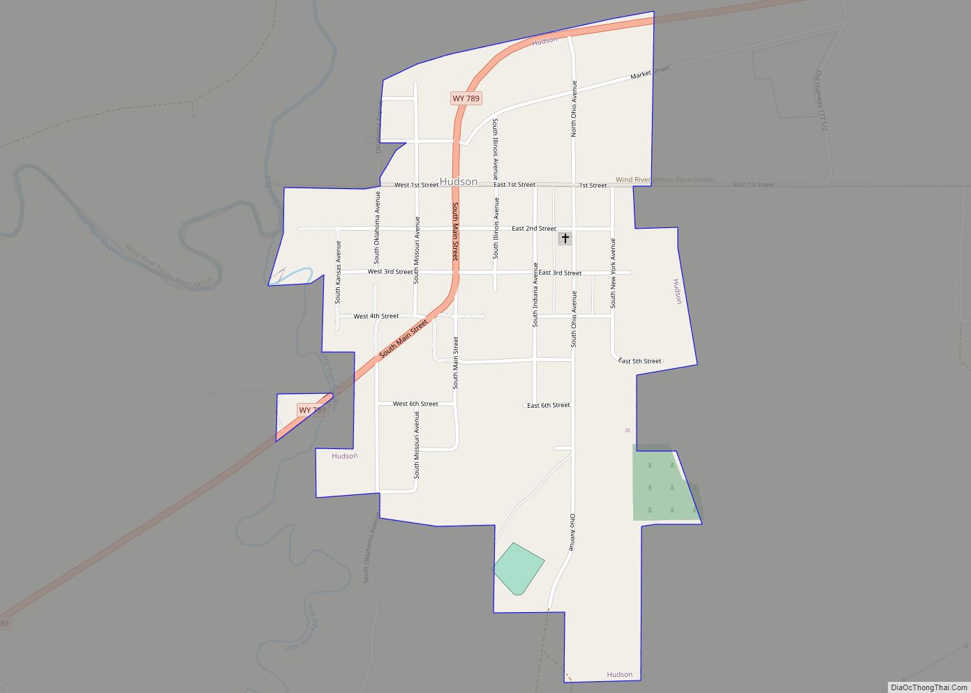
Online Interactive Map
Click on ![]() to view map in "full screen" mode.
to view map in "full screen" mode.
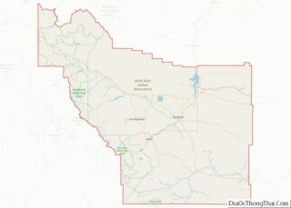
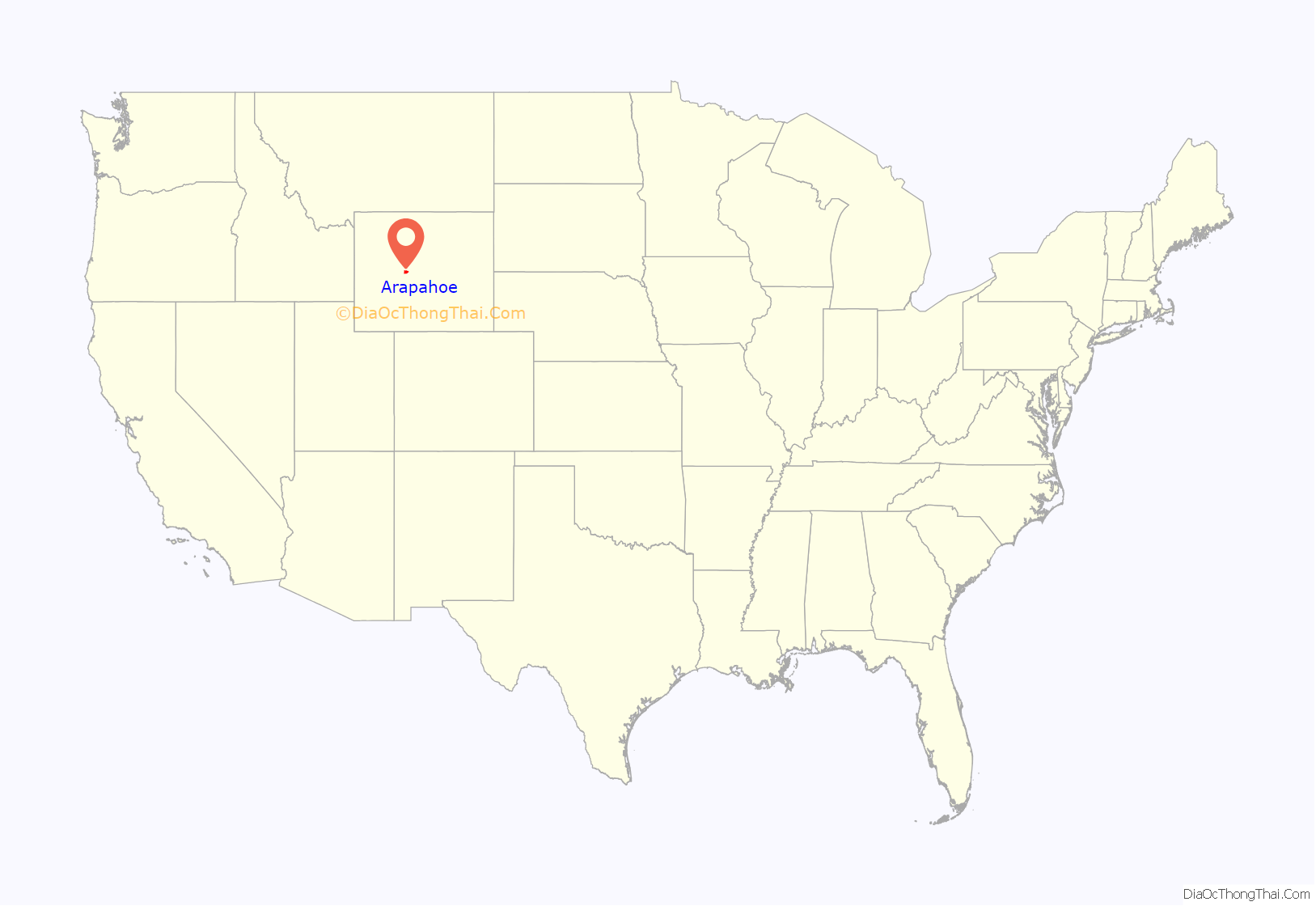
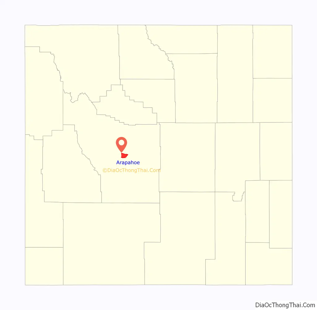
Arapahoe location map. Where is Arapahoe CDP?
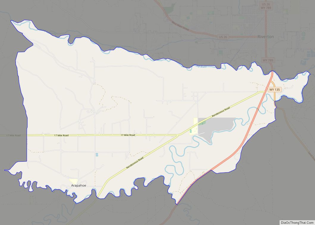
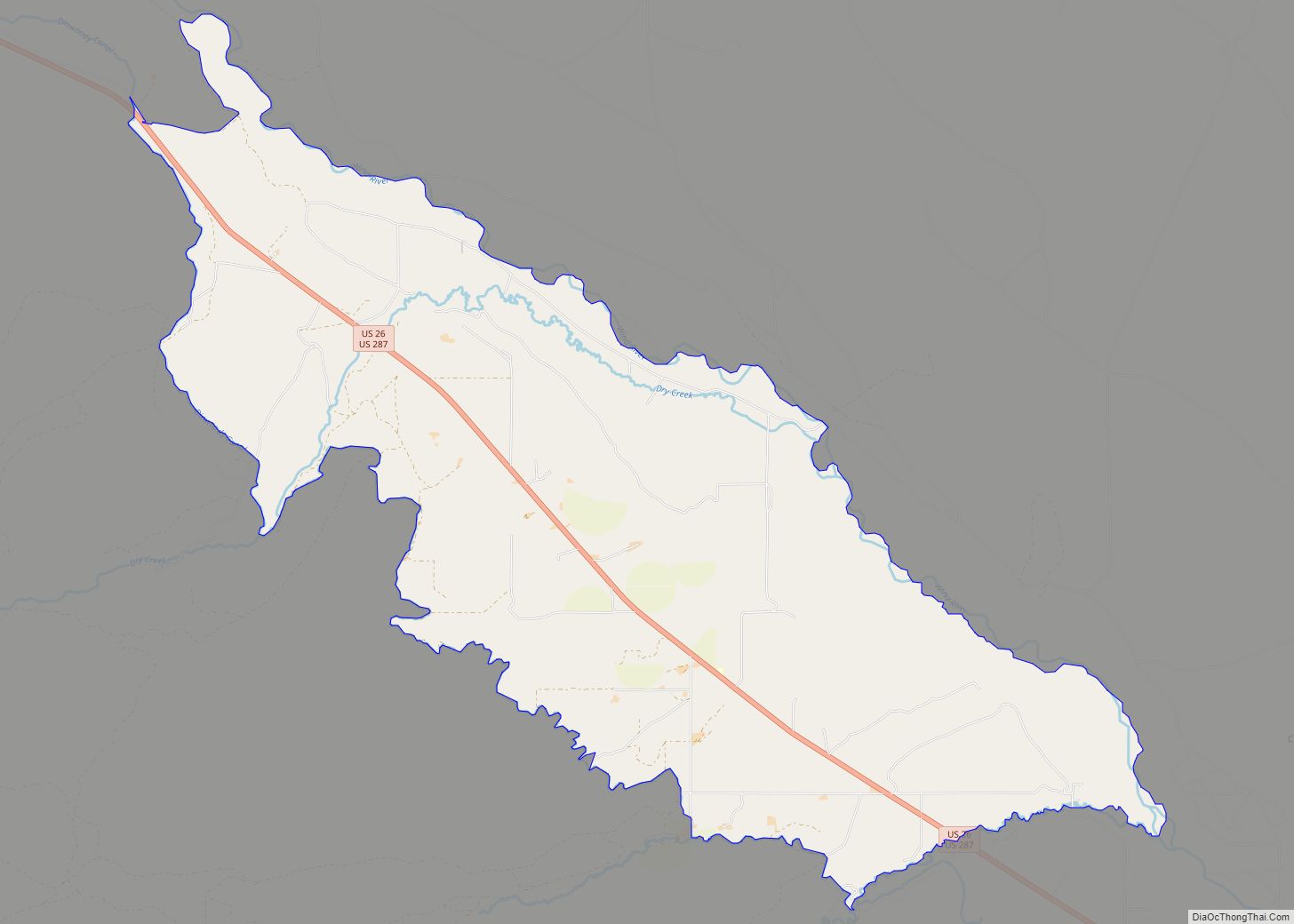
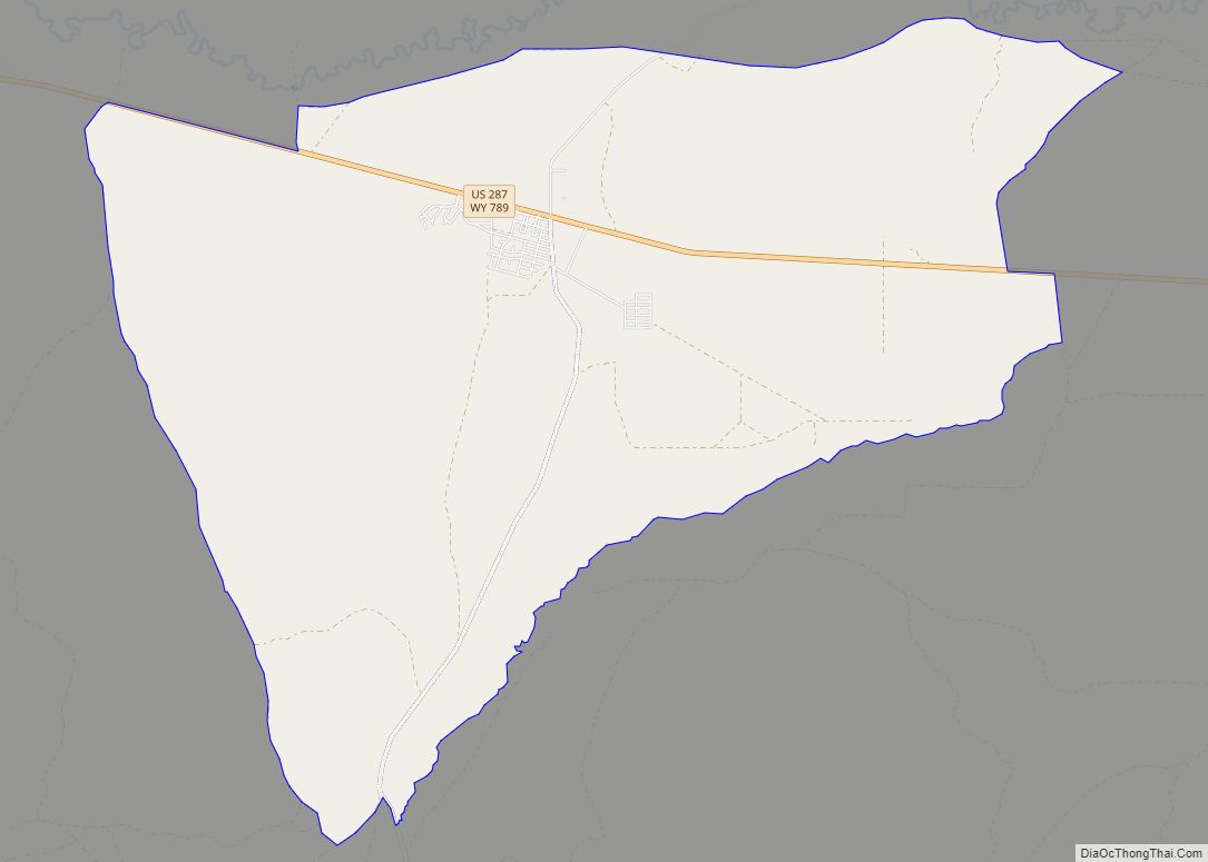
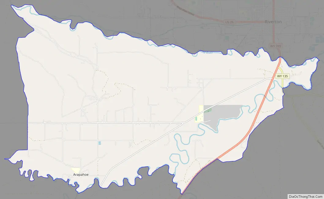
Arapahoe Road Map
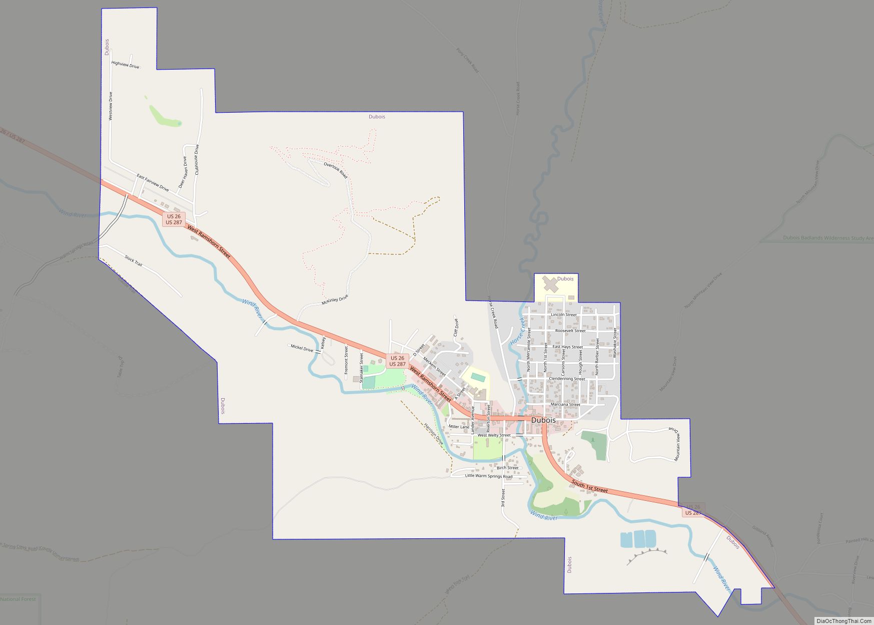
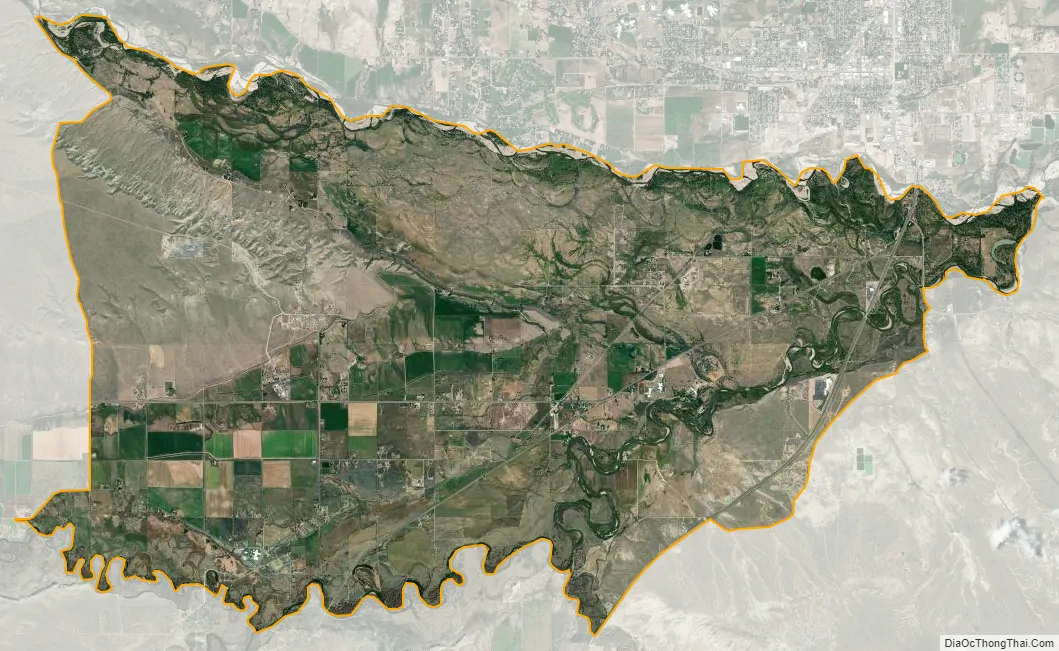
Arapahoe city Satellite Map
Geography
Arapahoe is located in central Fremont County at 42°58′48″N 108°26′44″W / 42.98000°N 108.44556°W / 42.98000; -108.44556 (42.979965, -108.445510), in the southeastern part of the Wind River Indian Reservation. It is bordered to the north by the city of Riverton, the largest city in Fremont County. It is 8 miles (13 km) from the center of Arapahoe (at the Arapahoe School) northeast to the center of Riverton, via Rendezvous Road.
According to the United States Census Bureau, the Arapahoe CDP has a total area of 27.8 square miles (72.1 km), of which 27.6 square miles (71.6 km) is land and 0.2 square miles (0.5 km), or 0.68%, is water.
Climate
According to the Köppen Climate Classification system, Arapahoe has a semi-arid climate, abbreviated “BSk” on climate maps.
See also
Map of Wyoming State and its subdivision: Map of other states:- Alabama
- Alaska
- Arizona
- Arkansas
- California
- Colorado
- Connecticut
- Delaware
- District of Columbia
- Florida
- Georgia
- Hawaii
- Idaho
- Illinois
- Indiana
- Iowa
- Kansas
- Kentucky
- Louisiana
- Maine
- Maryland
- Massachusetts
- Michigan
- Minnesota
- Mississippi
- Missouri
- Montana
- Nebraska
- Nevada
- New Hampshire
- New Jersey
- New Mexico
- New York
- North Carolina
- North Dakota
- Ohio
- Oklahoma
- Oregon
- Pennsylvania
- Rhode Island
- South Carolina
- South Dakota
- Tennessee
- Texas
- Utah
- Vermont
- Virginia
- Washington
- West Virginia
- Wisconsin
- Wyoming