Arlington (also Rockdale) is a census-designated place (CDP) in southeastern Carbon County, Wyoming, United States. The population was 25 at the 2010 census.
| Name: | Arlington CDP |
|---|---|
| LSAD Code: | 57 |
| LSAD Description: | CDP (suffix) |
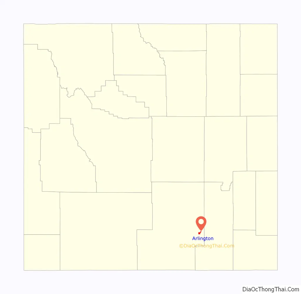
| State: | Wyoming |
| County: | Carbon County |
| Elevation: | 7,707 ft (2,349 m) |
| Total Area: | 4.1 sq mi (10.5 km²) |
| Land Area: | 4.1 sq mi (10.5 km²) |
| Water Area: | 0.0 sq mi (0.0 km²) |
| Total Population: | 25 |
| Population Density: | 6.2/sq mi (2.4/km²) |
| Area code: | 307 |
| FIPS code: | 5603245 |
| GNISfeature ID: | 1609063 |
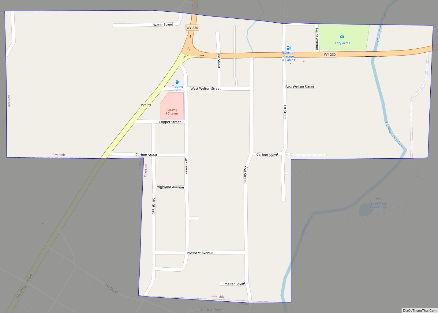
Online Interactive Map
Click on ![]() to view map in "full screen" mode.
to view map in "full screen" mode.
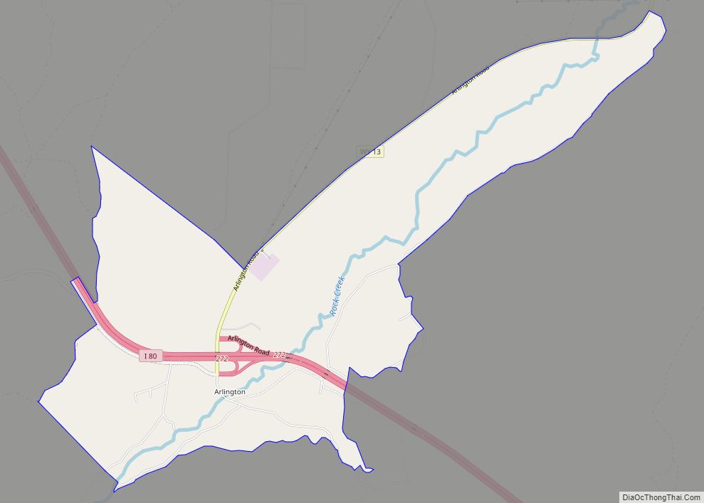
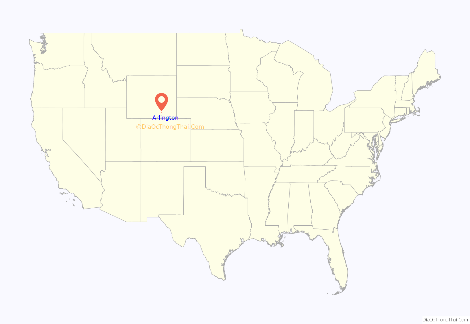
Arlington location map. Where is Arlington CDP?
History
In its earliest years, Arlington was a commercial stop along the Overland Trail. Founded circa 1860, it began with the establishment of a bridge and stage stop at the crossing of Rock Creek, after which it was named until the early twentieth century. In 1983, the community was listed on the National Register of Historic Places as a historic district for its nineteenth-century significance.
In 1882, a post office was established at Rock Creek under the name of “Rock Dale.” Except for a gap in 1924 and 1925, a post office with the name of Arlington was operated in the community from 1902 to 1943.
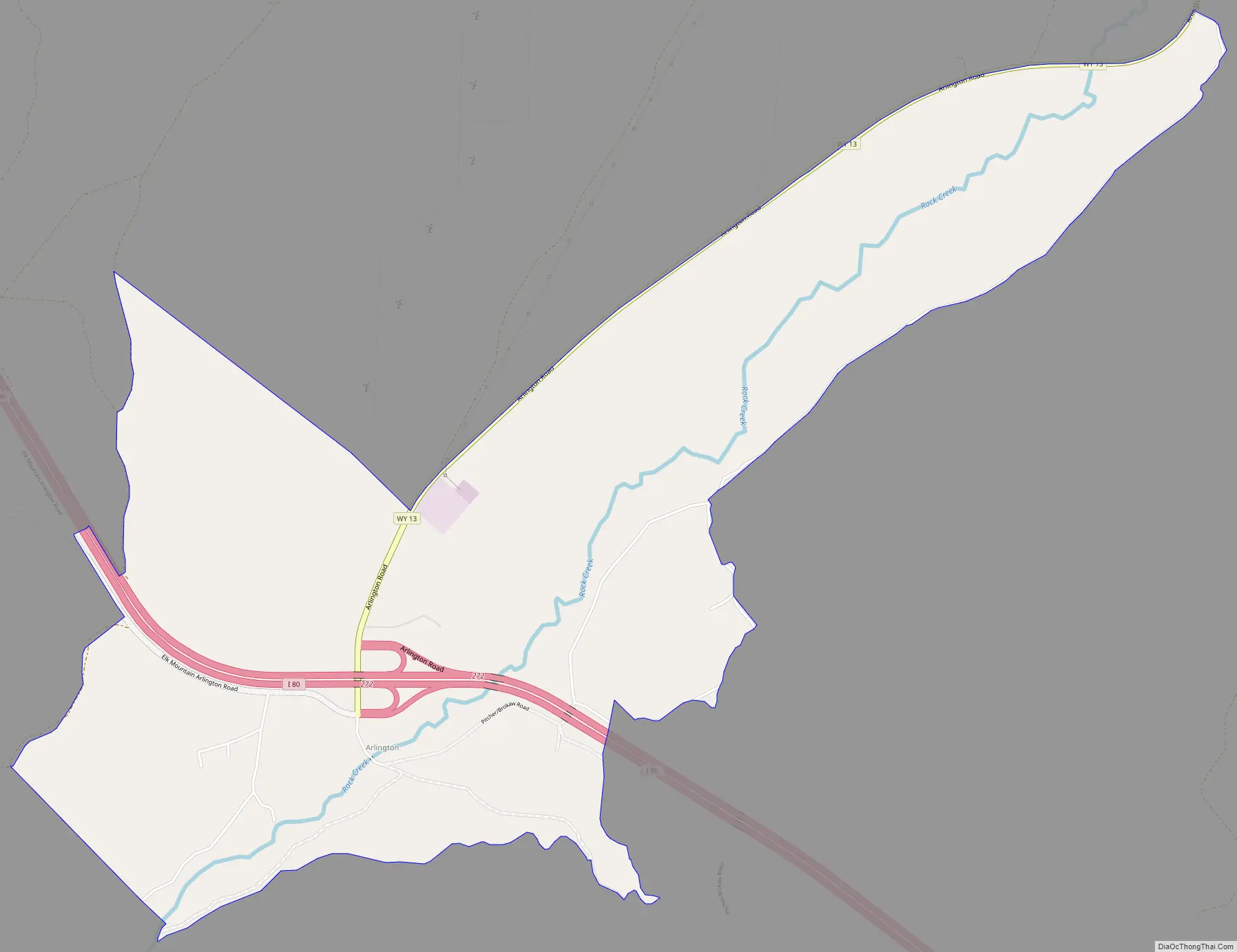
Arlington Road Map
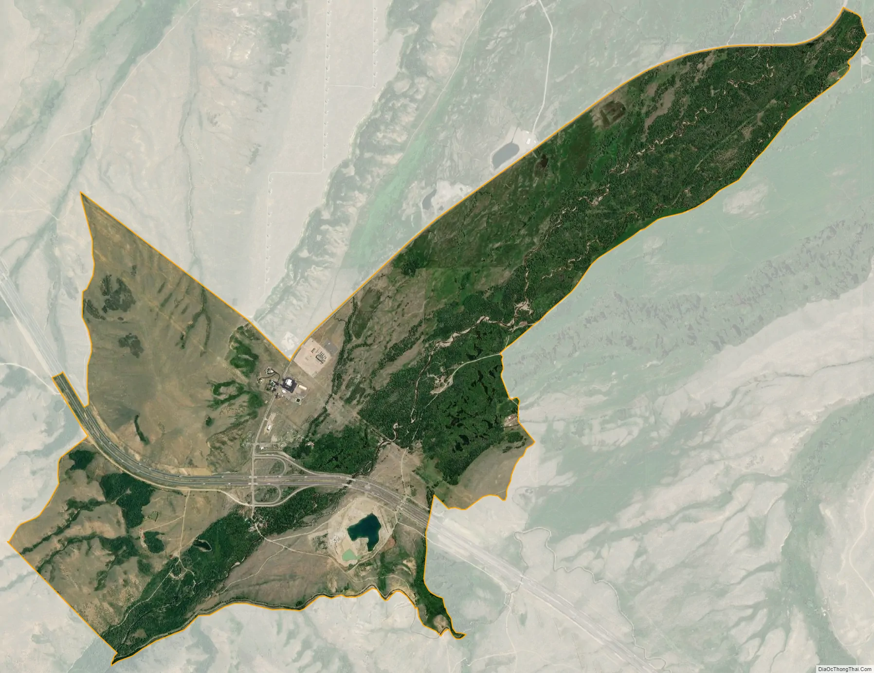
Arlington city Satellite Map
Geography
Arlington lies at the intersection of Interstate 80 and WYO 13, northwest of Laramie and east of the city of Rawlins, the county seat of Carbon County. Its elevation is 7,707 feet (2,349 m), and it is located at 41°35′41″N 106°12′30″W / 41.59472°N 106.20833°W / 41.59472; -106.20833 (41.5946899, -106.2083459).
According to the United States Census Bureau, the CDP has a total area of 4.1 square miles (10.5 km), all land.
See also
Map of Wyoming State and its subdivision: Map of other states:- Alabama
- Alaska
- Arizona
- Arkansas
- California
- Colorado
- Connecticut
- Delaware
- District of Columbia
- Florida
- Georgia
- Hawaii
- Idaho
- Illinois
- Indiana
- Iowa
- Kansas
- Kentucky
- Louisiana
- Maine
- Maryland
- Massachusetts
- Michigan
- Minnesota
- Mississippi
- Missouri
- Montana
- Nebraska
- Nevada
- New Hampshire
- New Jersey
- New Mexico
- New York
- North Carolina
- North Dakota
- Ohio
- Oklahoma
- Oregon
- Pennsylvania
- Rhode Island
- South Carolina
- South Dakota
- Tennessee
- Texas
- Utah
- Vermont
- Virginia
- Washington
- West Virginia
- Wisconsin
- Wyoming