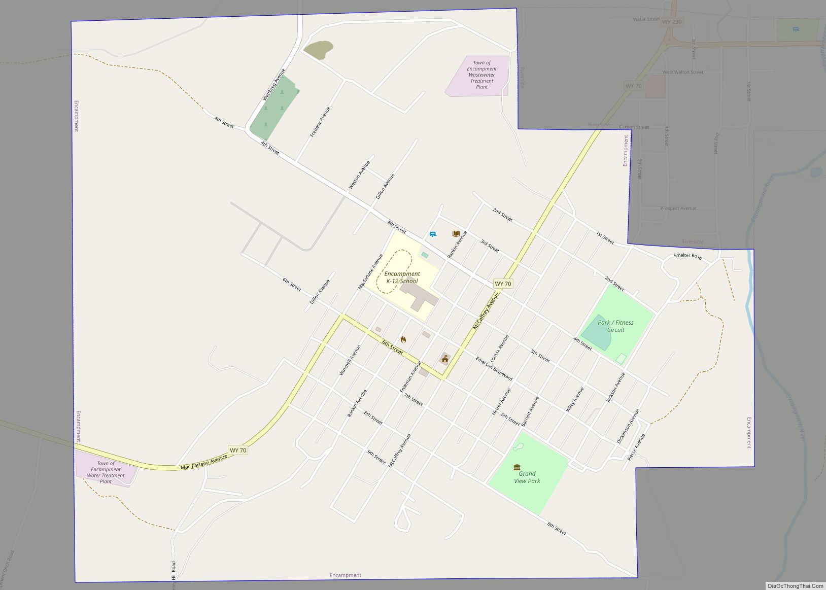
Riverside is a town in Carbon County, Wyoming, United States. The population was 52 at the 2010 census.
| Name: | Riverside town |
|---|---|
| LSAD Code: | 43 |
| LSAD Description: | town (suffix) |
| State: | Wyoming |
| County: | Carbon County |
| Elevation: | 7,142 ft (2,177 m) |
| Total Area: | 0.27 sq mi (0.70 km²) |
| Land Area: | 0.27 sq mi (0.70 km²) |
| Water Area: | 0.00 sq mi (0.00 km²) |
| Total Population: | 52 |
| Population Density: | 192.59/sq mi (74.47/km²) |
| ZIP code: | 82325 |
| Area code: | 307 |
| FIPS code: | 5666075 |
| GNISfeature ID: | 1593486 |
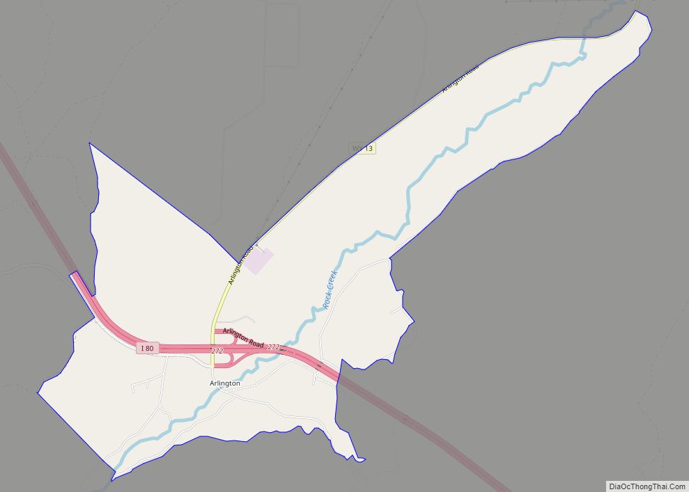
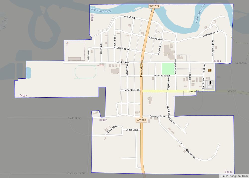
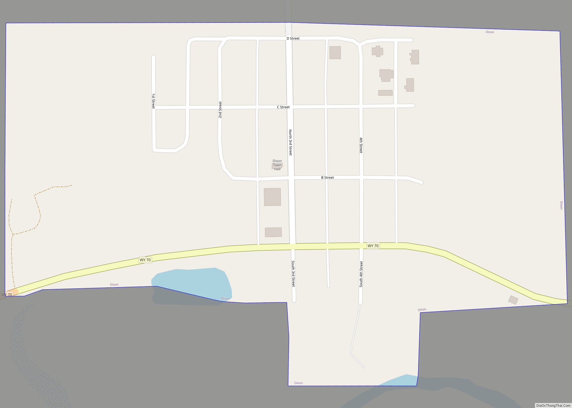
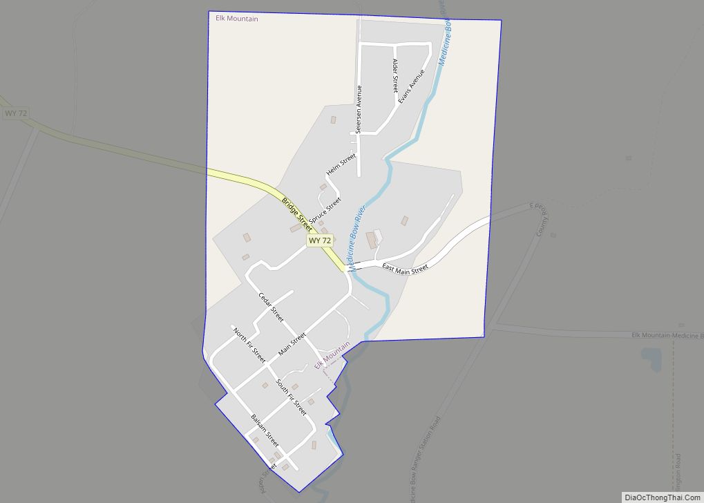
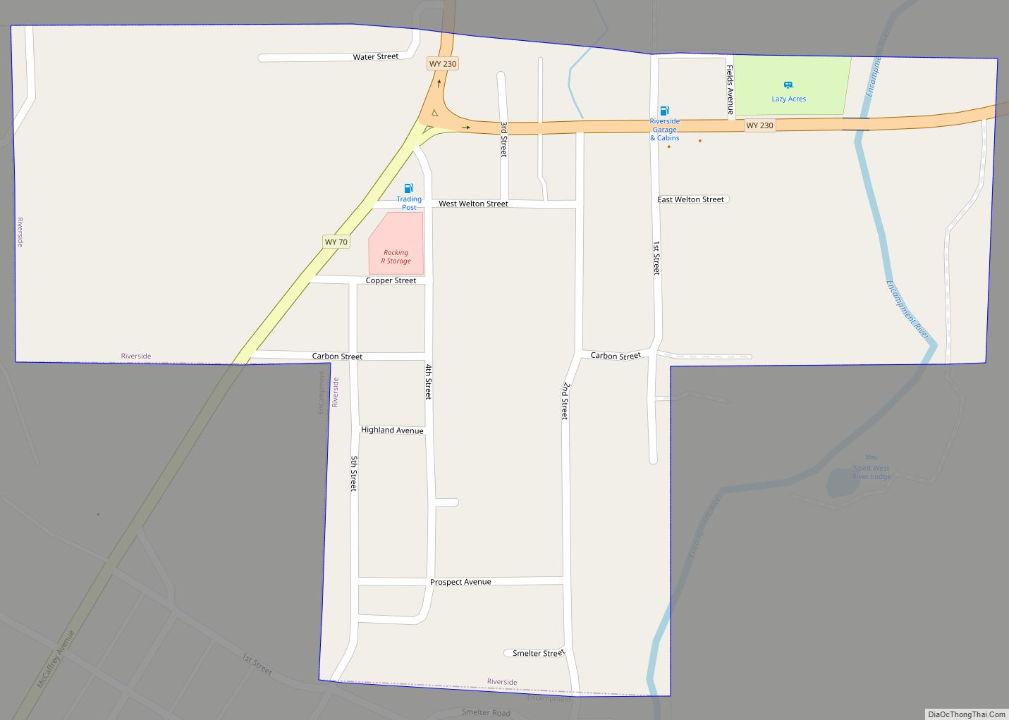
Online Interactive Map
Click on ![]() to view map in "full screen" mode.
to view map in "full screen" mode.
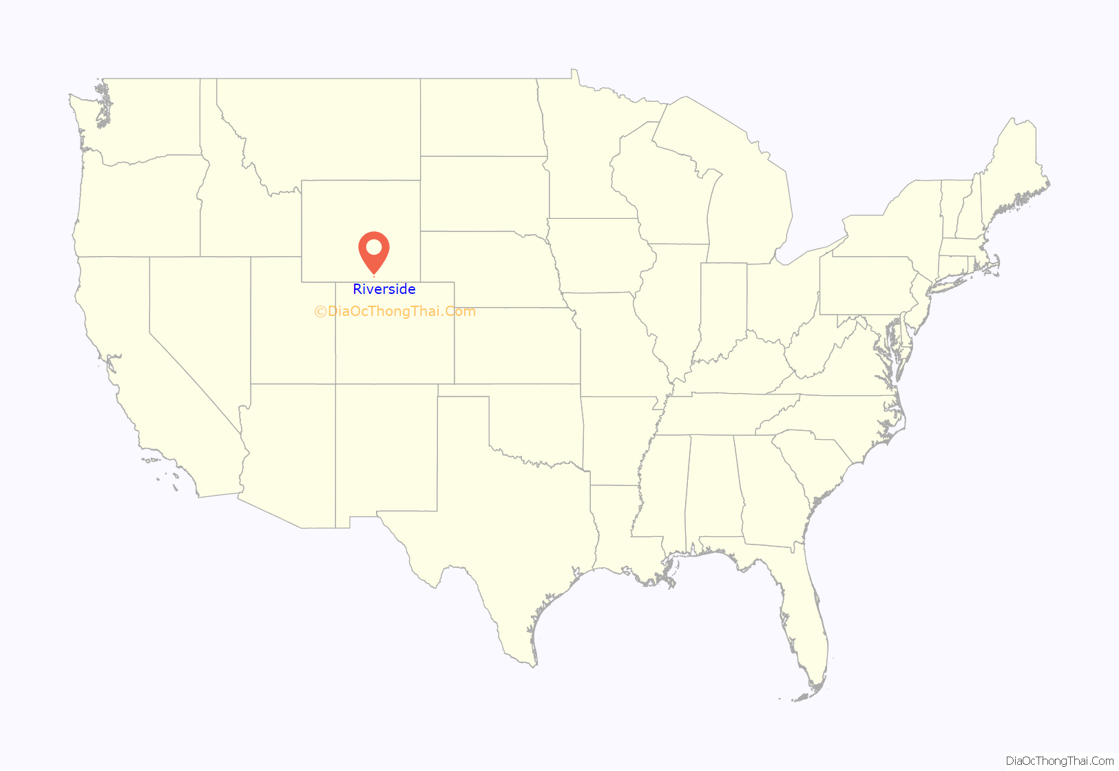
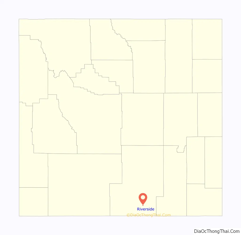
Riverside location map. Where is Riverside town?
Riverside Road Map
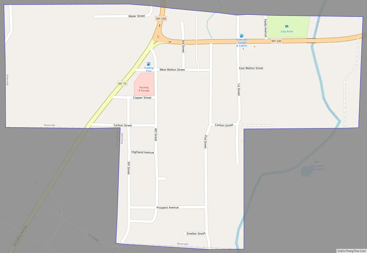
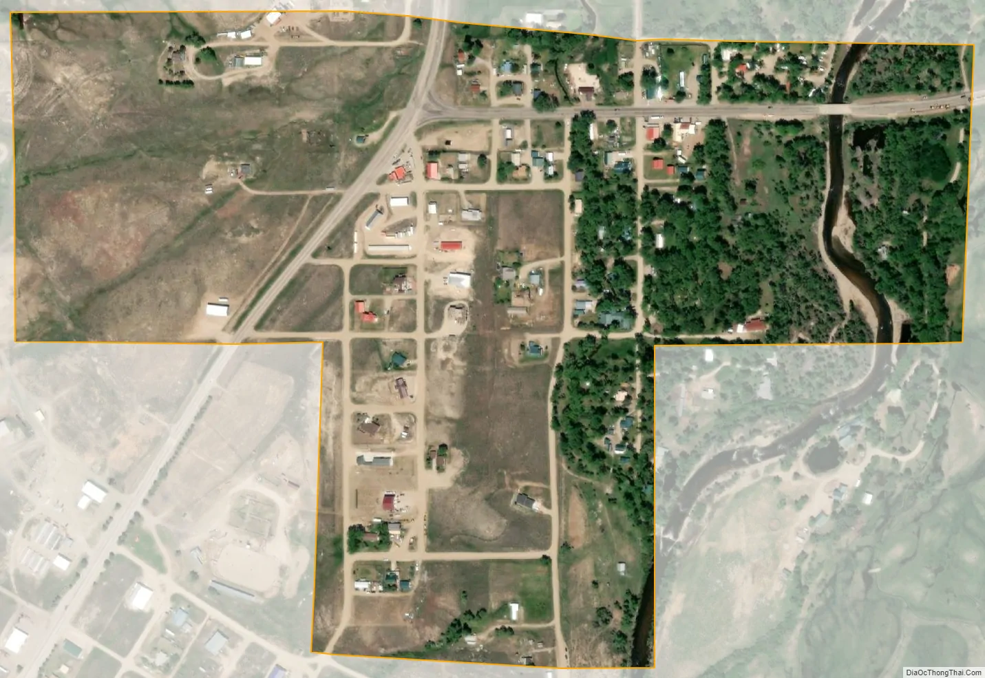
Riverside city Satellite Map
Geography
Riverside is located at 41°12′55″N 106°46′59″W / 41.21528°N 106.78306°W / 41.21528; -106.78306 (41.215243, –106.782961).
According to the United States Census Bureau, the town has a total area of 0.27 square miles (0.70 km), all land.
According to the U.S. National Climatic Data Center, Riverside is, together with the town of West Yellowstone in Yellowstone National Park, the coldest (inhabited) spot in the whole state of Wyoming. On February 9, 1933, −66 °F or −54.4 °C was recorded there, the coldest temperature ever recorded in Wyoming.
See also
Map of Wyoming State and its subdivision: Map of other states:- Alabama
- Alaska
- Arizona
- Arkansas
- California
- Colorado
- Connecticut
- Delaware
- District of Columbia
- Florida
- Georgia
- Hawaii
- Idaho
- Illinois
- Indiana
- Iowa
- Kansas
- Kentucky
- Louisiana
- Maine
- Maryland
- Massachusetts
- Michigan
- Minnesota
- Mississippi
- Missouri
- Montana
- Nebraska
- Nevada
- New Hampshire
- New Jersey
- New Mexico
- New York
- North Carolina
- North Dakota
- Ohio
- Oklahoma
- Oregon
- Pennsylvania
- Rhode Island
- South Carolina
- South Dakota
- Tennessee
- Texas
- Utah
- Vermont
- Virginia
- Washington
- West Virginia
- Wisconsin
- Wyoming