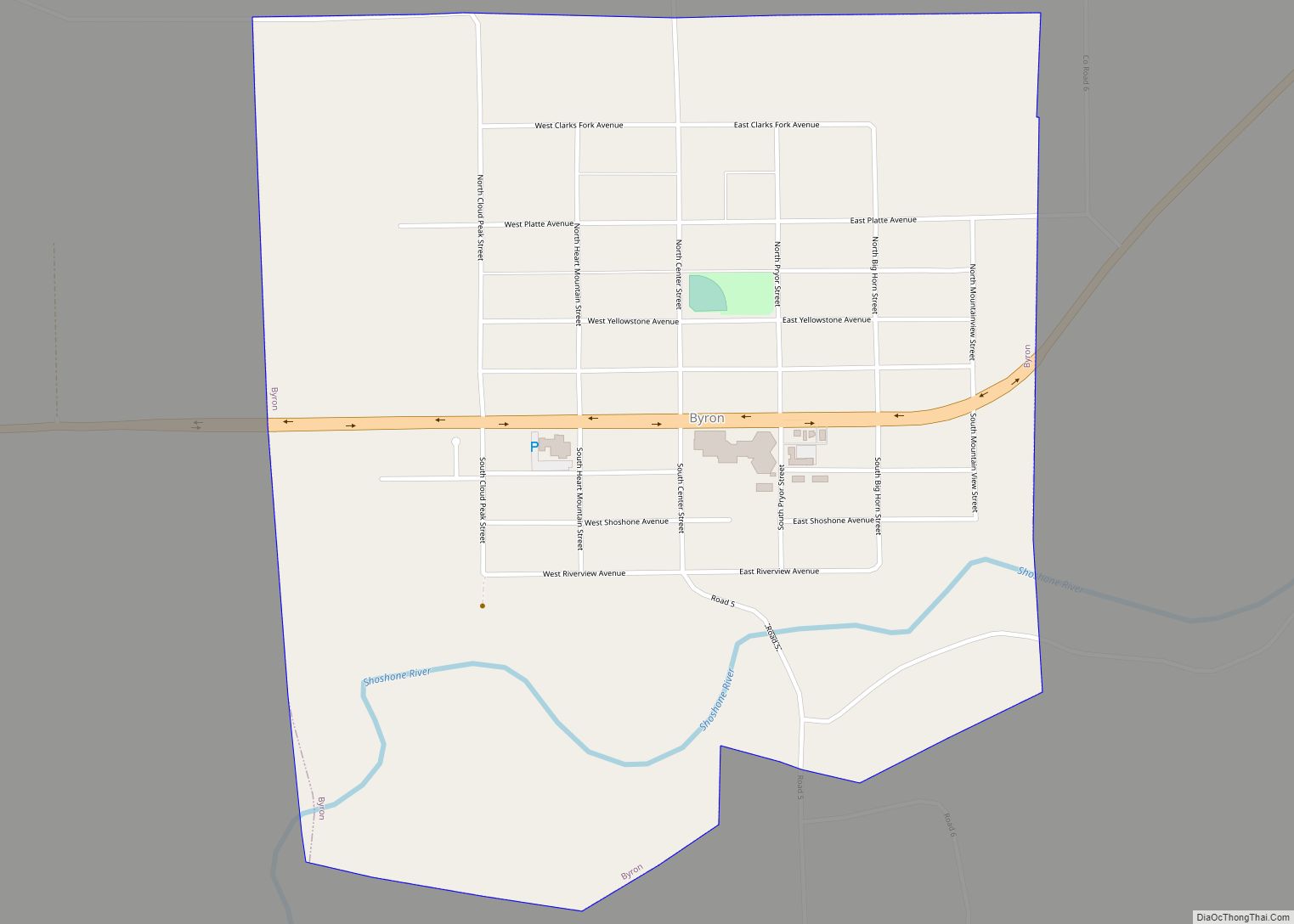
Byron is a town in Big Horn County, Wyoming, United States. The population was 593 according to the 2010 census.
| Name: | Byron town |
|---|---|
| LSAD Code: | 43 |
| LSAD Description: | town (suffix) |
| State: | Wyoming |
| County: | Big Horn County |
| Elevation: | 4,029 ft (1,228 m) |
| Total Area: | 0.95 sq mi (2.47 km²) |
| Land Area: | 0.91 sq mi (2.35 km²) |
| Water Area: | 0.05 sq mi (0.12 km²) |
| Total Population: | 593 |
| Population Density: | 666.67/sq mi (257.29/km²) |
| ZIP code: | 82412 |
| Area code: | 307 |
| FIPS code: | 5611700 |
| GNISfeature ID: | 1586233 |
| Website: | https://byronwyoming.org/index.html |
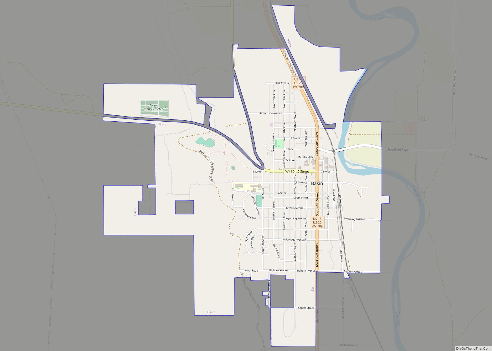
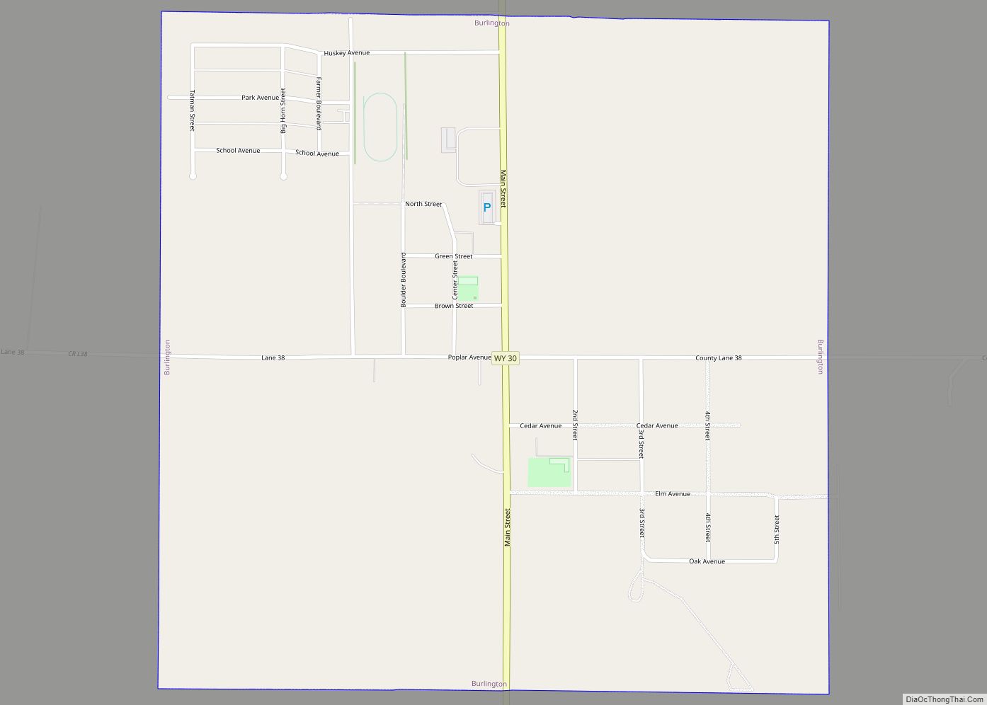
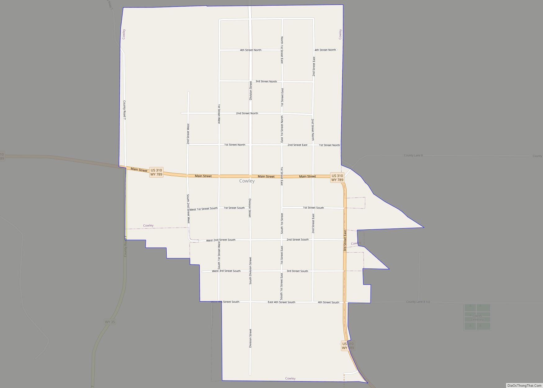
Online Interactive Map
Click on ![]() to view map in "full screen" mode.
to view map in "full screen" mode.
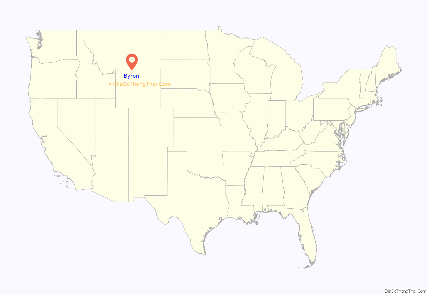
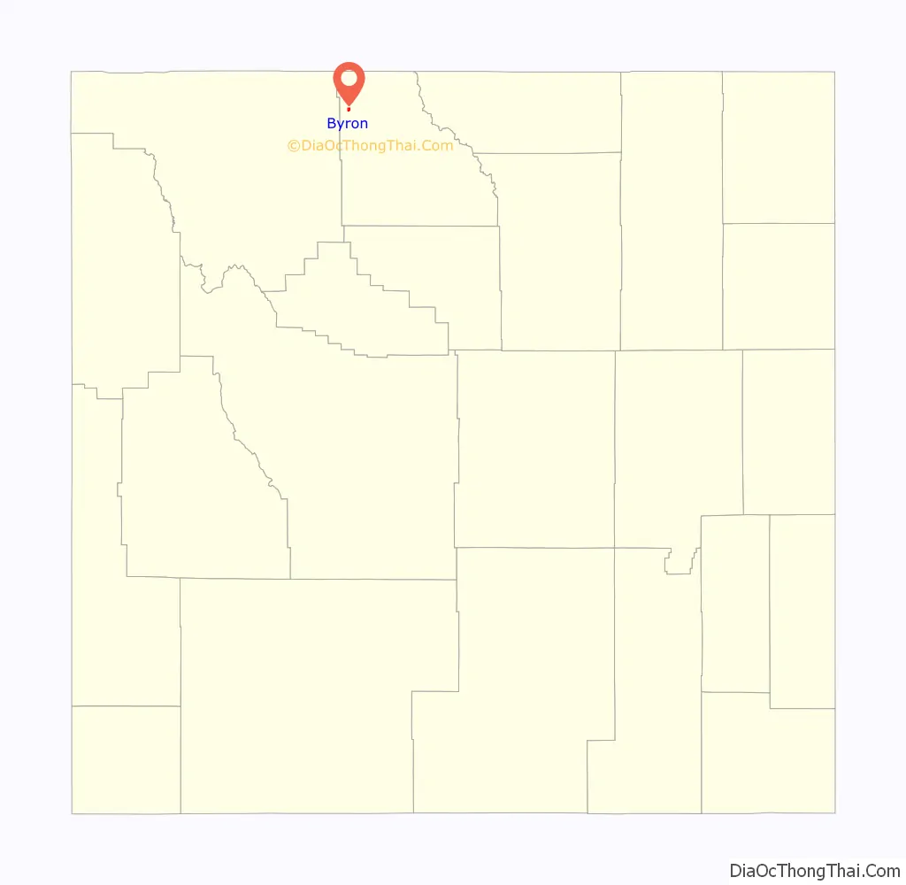
Byron location map. Where is Byron town?
History
The first settlement at Byron was made ca. 1898. The community has the name of Byron Sessions, a Mormon leader.
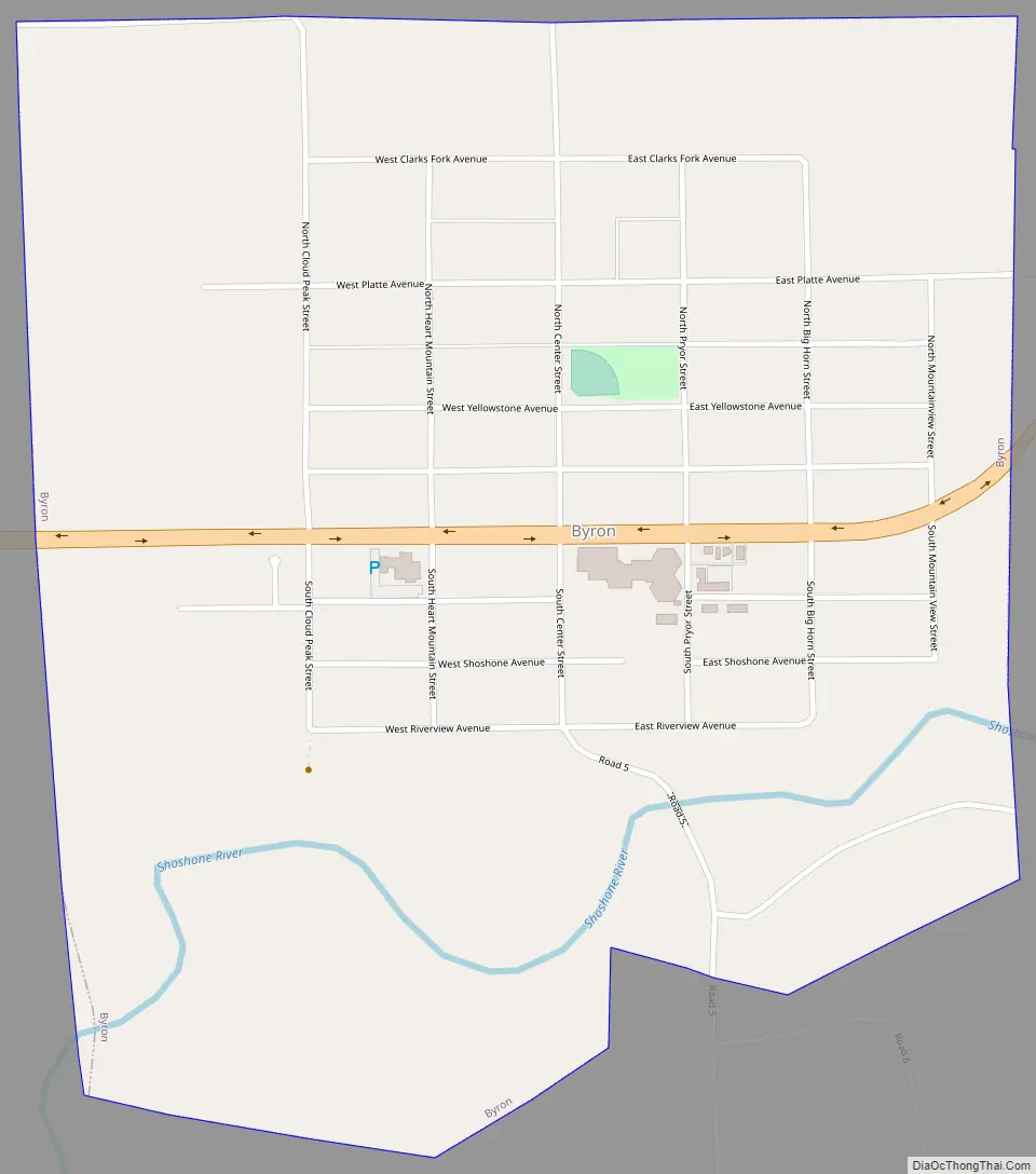
Byron Road Map
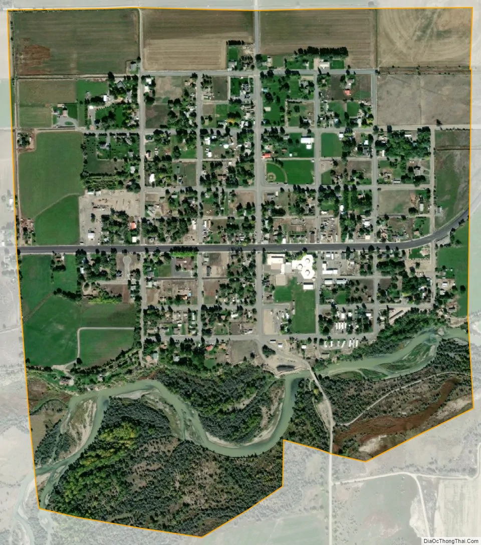
Byron city Satellite Map
Geography
According to the United States Census Bureau, the town has a total area of 0.96 square miles (2.49 km), of which 0.91 square miles (2.36 km) is land and 0.05 square miles (0.13 km) is water.
See also
Map of Wyoming State and its subdivision: Map of other states:- Alabama
- Alaska
- Arizona
- Arkansas
- California
- Colorado
- Connecticut
- Delaware
- District of Columbia
- Florida
- Georgia
- Hawaii
- Idaho
- Illinois
- Indiana
- Iowa
- Kansas
- Kentucky
- Louisiana
- Maine
- Maryland
- Massachusetts
- Michigan
- Minnesota
- Mississippi
- Missouri
- Montana
- Nebraska
- Nevada
- New Hampshire
- New Jersey
- New Mexico
- New York
- North Carolina
- North Dakota
- Ohio
- Oklahoma
- Oregon
- Pennsylvania
- Rhode Island
- South Carolina
- South Dakota
- Tennessee
- Texas
- Utah
- Vermont
- Virginia
- Washington
- West Virginia
- Wisconsin
- Wyoming