Carter is a census-designated place (CDP) in Uinta County, Wyoming, United States. Established by the United States Census Bureau in 1980, the CDP was named after the former village of Carter, in turn named for Judge William A. Carter, which was located within the CDP and of which some abandoned buildings remain standing. The population of the CDP was 10 at the 2010 census.
| Name: | Carter CDP |
|---|---|
| LSAD Code: | 57 |
| LSAD Description: | CDP (suffix) |
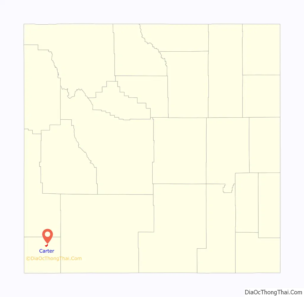
| State: | Wyoming |
| County: | Uinta County |
| Elevation: | 6,503 ft (1,982 m) |
| Total Area: | 3.1 sq mi (7.9 km²) |
| Land Area: | 3.1 sq mi (7.9 km²) |
| Water Area: | 0.0 sq mi (0.0 km²) |
| Total Population: | 10 |
| Population Density: | 3.2/sq mi (1.3/km²) |
| Area code: | 307 |
| FIPS code: | 5613005 |
| GNISfeature ID: | U.S. Geological Survey Geographic Names Information System: Carter, Wyoming |
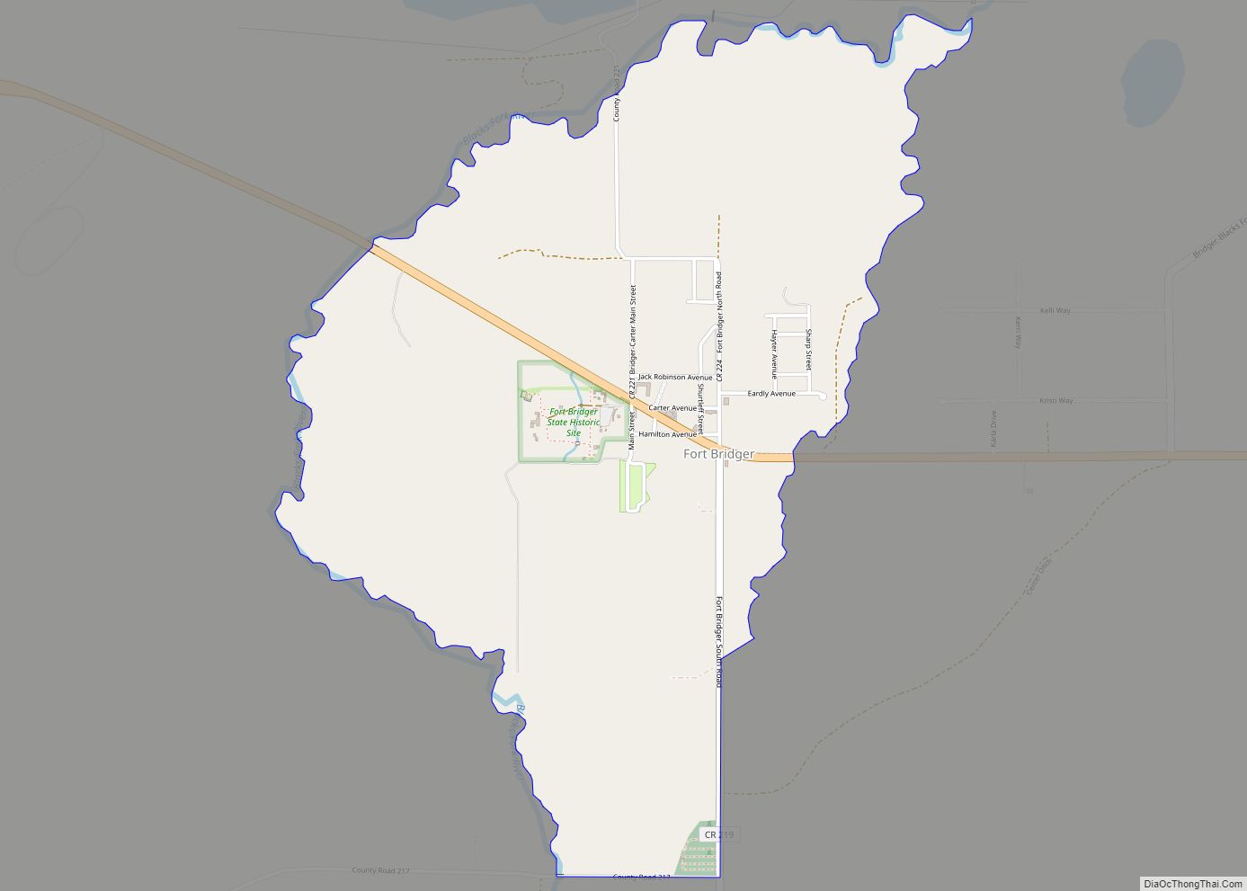
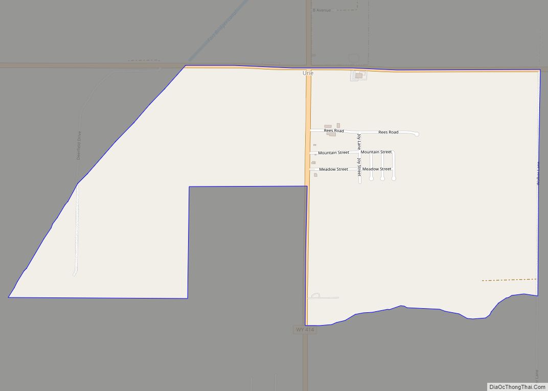
Online Interactive Map
Click on ![]() to view map in "full screen" mode.
to view map in "full screen" mode.
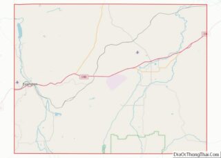
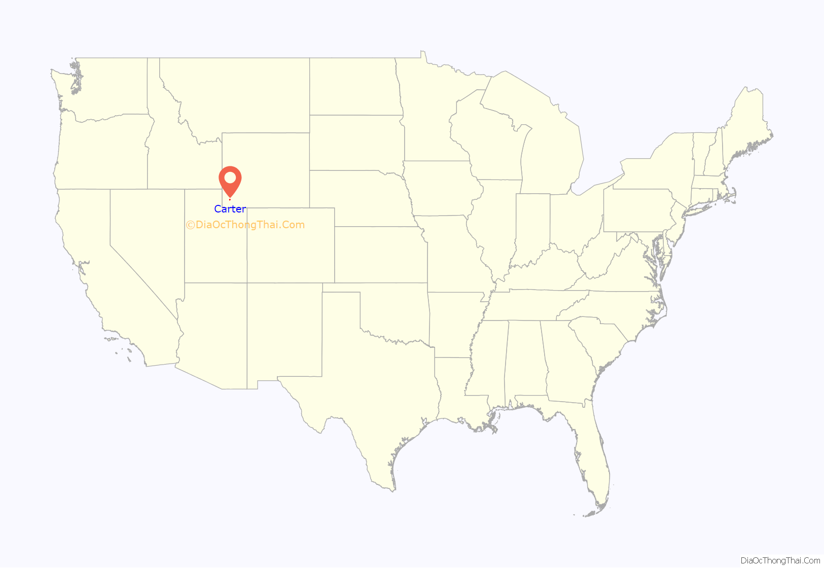
Carter location map. Where is Carter CDP?
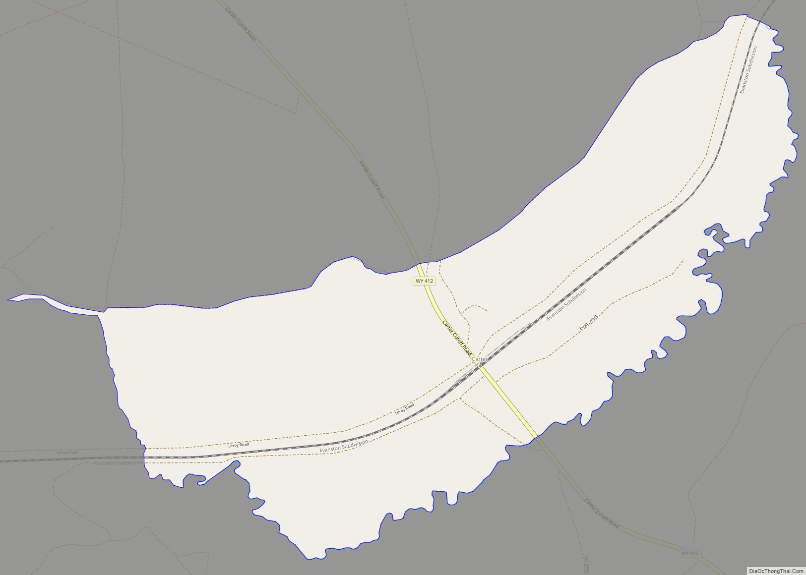
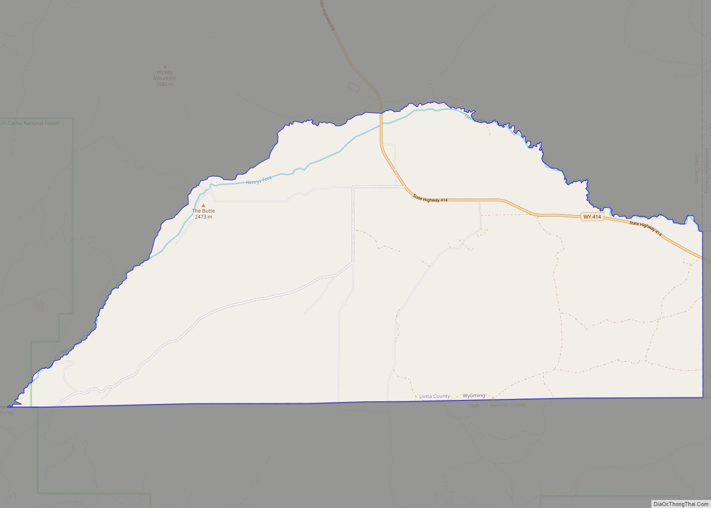
Carter Road Map
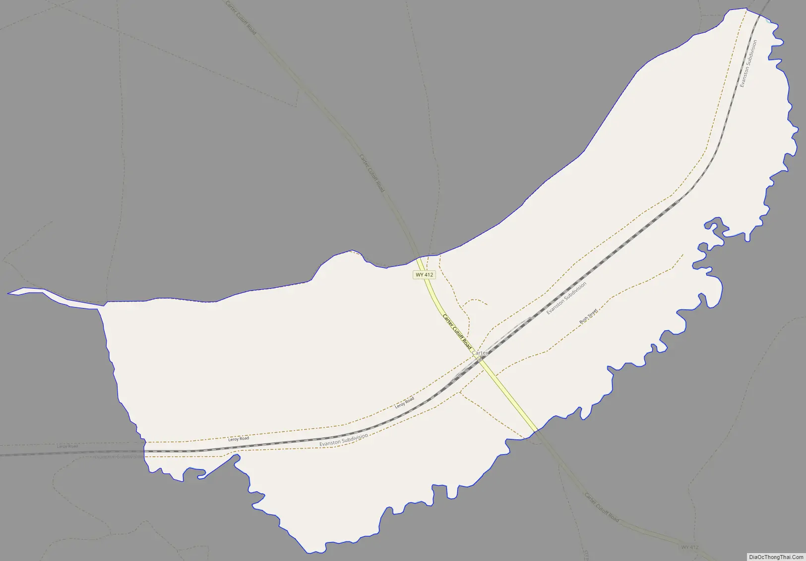
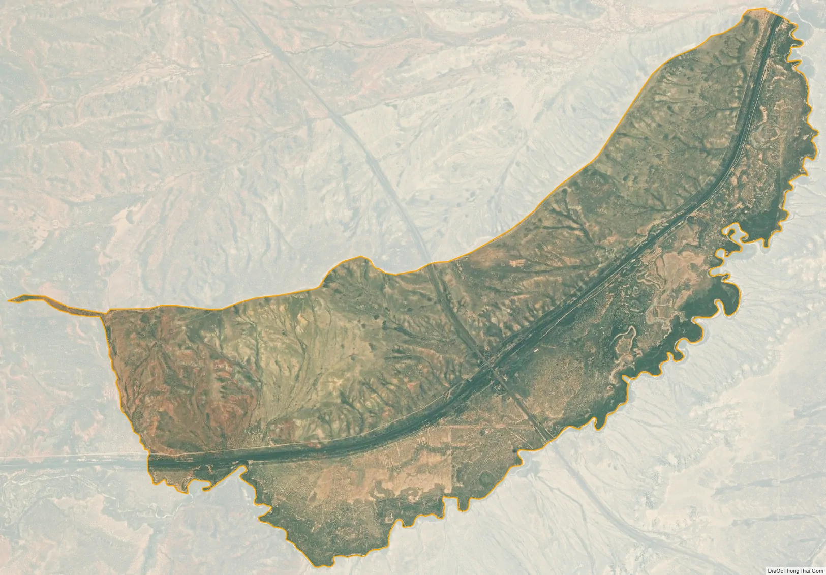
Carter city Satellite Map
Geography
Carter CDP is located at 41°26′31″N 110°25′57″W / 41.44194°N 110.43250°W / 41.44194; -110.43250 (41.442062, -110.432574). Elevation is 6,496 feet (1,980 m). It is located along the Union Pacific Railroad.
According to the United States Census Bureau, the CDP has a total area of 3.1 square miles (7.9 km), all land.
See also
Map of Wyoming State and its subdivision: Map of other states:- Alabama
- Alaska
- Arizona
- Arkansas
- California
- Colorado
- Connecticut
- Delaware
- District of Columbia
- Florida
- Georgia
- Hawaii
- Idaho
- Illinois
- Indiana
- Iowa
- Kansas
- Kentucky
- Louisiana
- Maine
- Maryland
- Massachusetts
- Michigan
- Minnesota
- Mississippi
- Missouri
- Montana
- Nebraska
- Nevada
- New Hampshire
- New Jersey
- New Mexico
- New York
- North Carolina
- North Dakota
- Ohio
- Oklahoma
- Oregon
- Pennsylvania
- Rhode Island
- South Carolina
- South Dakota
- Tennessee
- Texas
- Utah
- Vermont
- Virginia
- Washington
- West Virginia
- Wisconsin
- Wyoming