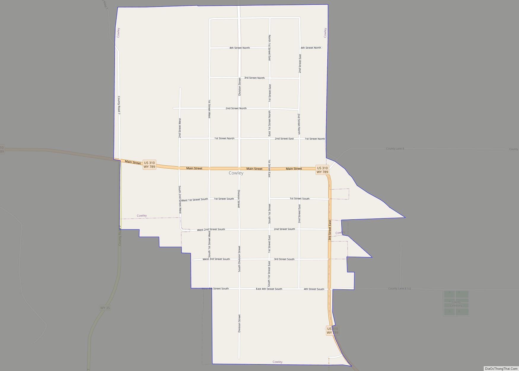
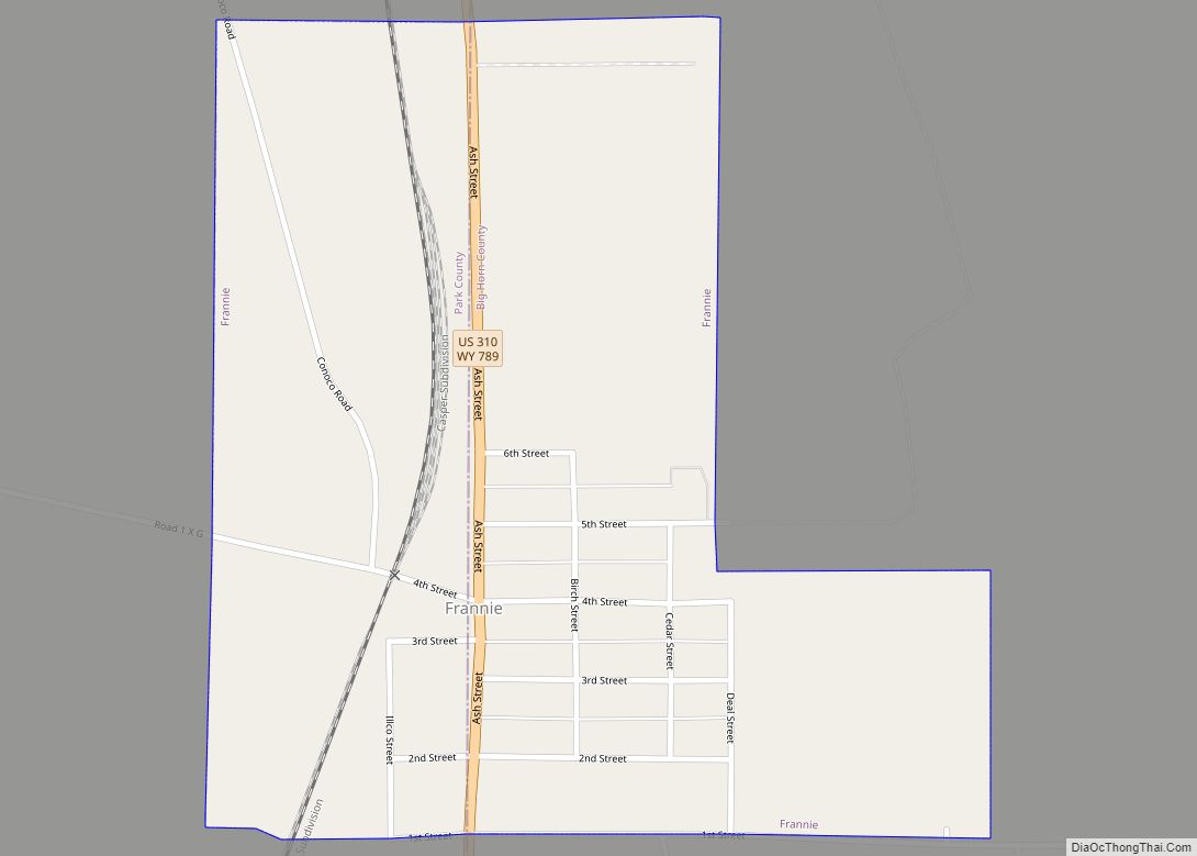
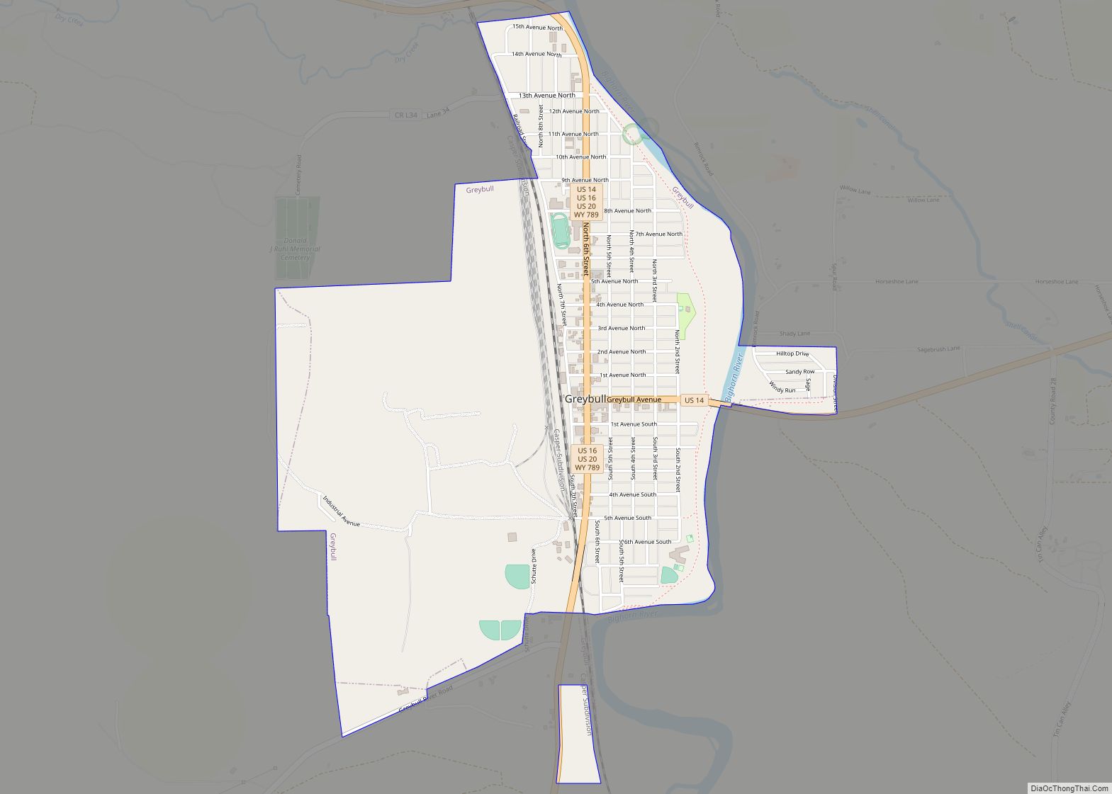
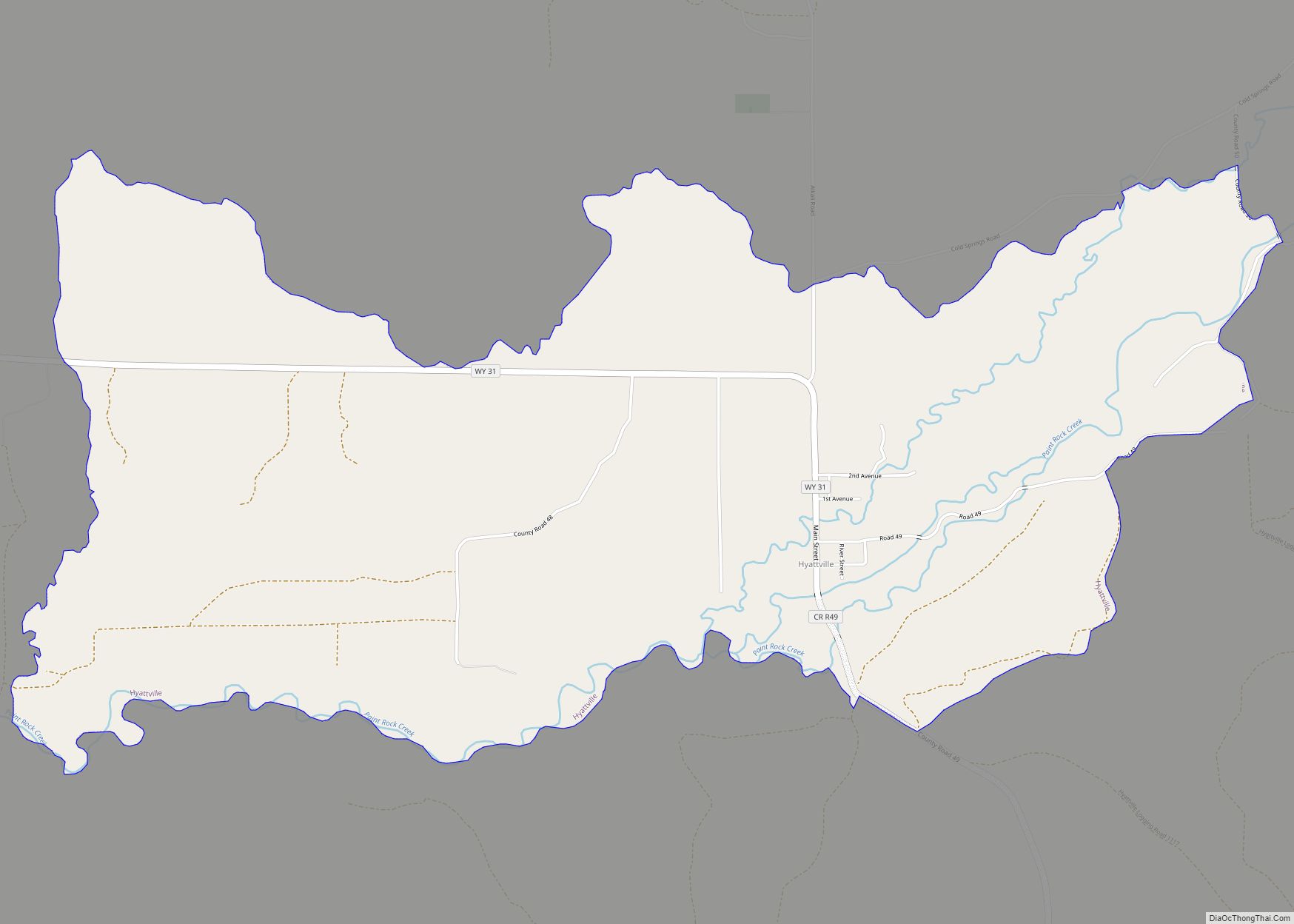
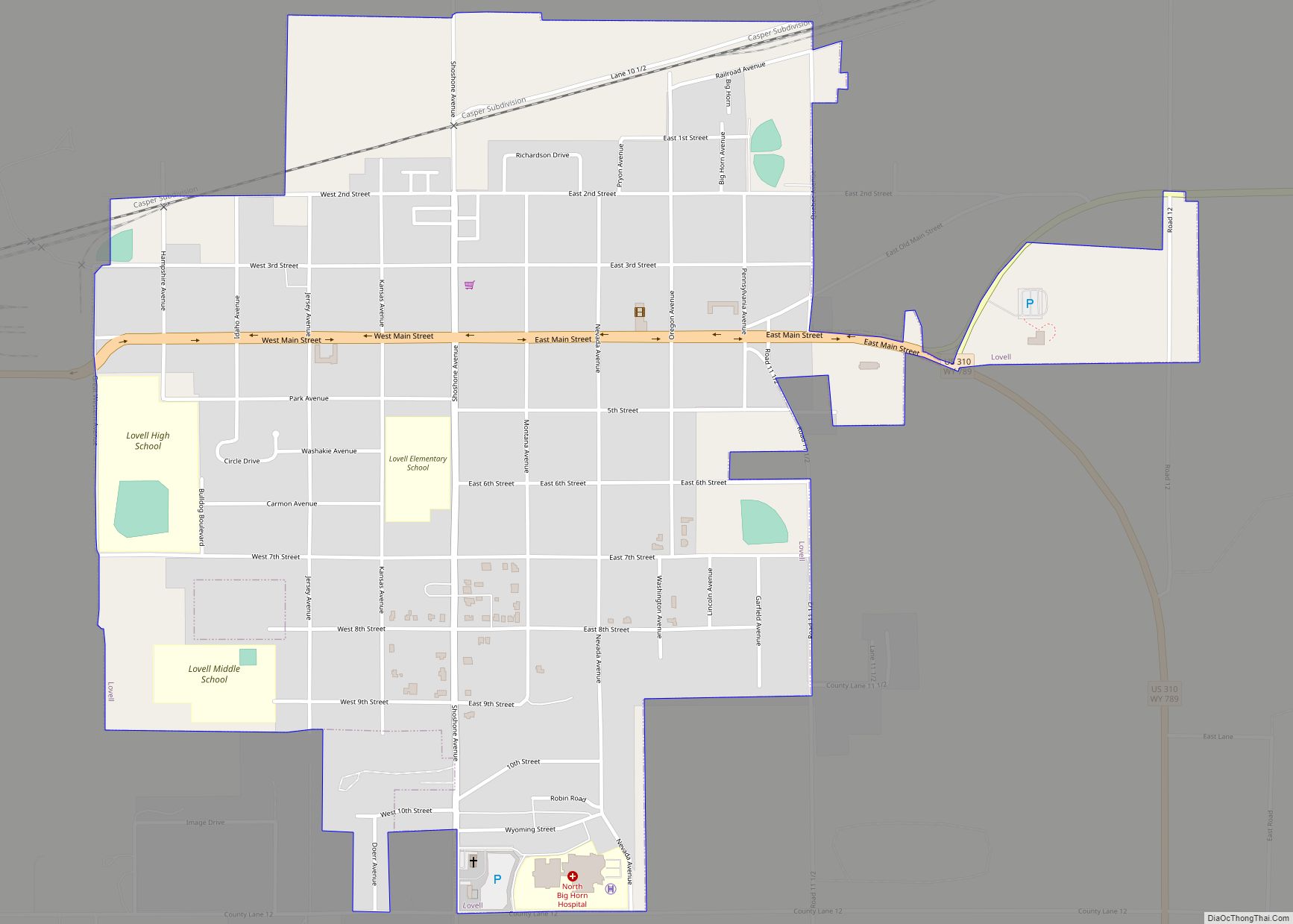
Cowley is a town in Big Horn County, Wyoming, United States. The population was 655 at the 2010 census. In 2019 the US Census Bureau put that figure at 623.
| Name: | Cowley town |
|---|---|
| LSAD Code: | 43 |
| LSAD Description: | town (suffix) |
| State: | Wyoming |
| County: | Big Horn County |
| Elevation: | 3,990 ft (1,216 m) |
| Total Area: | 0.87 sq mi (2.26 km²) |
| Land Area: | 0.87 sq mi (2.26 km²) |
| Water Area: | 0.00 sq mi (0.00 km²) |
| Total Population: | 655 |
| Population Density: | 871.71/sq mi (336.46/km²) |
| Area code: | 307 |
| FIPS code: | 5617645 |
| GNISfeature ID: | 1587127 |
| Website: | cowleywyoming.com |
Online Interactive Map
Click on ![]() to view map in "full screen" mode.
to view map in "full screen" mode.
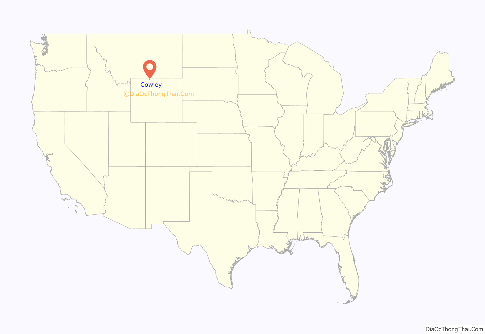
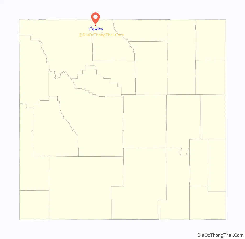
Cowley location map. Where is Cowley town?
History
The community was named after Matthias F. Cowley, a leader in the Church of Jesus Christ of Latter Day Saints.
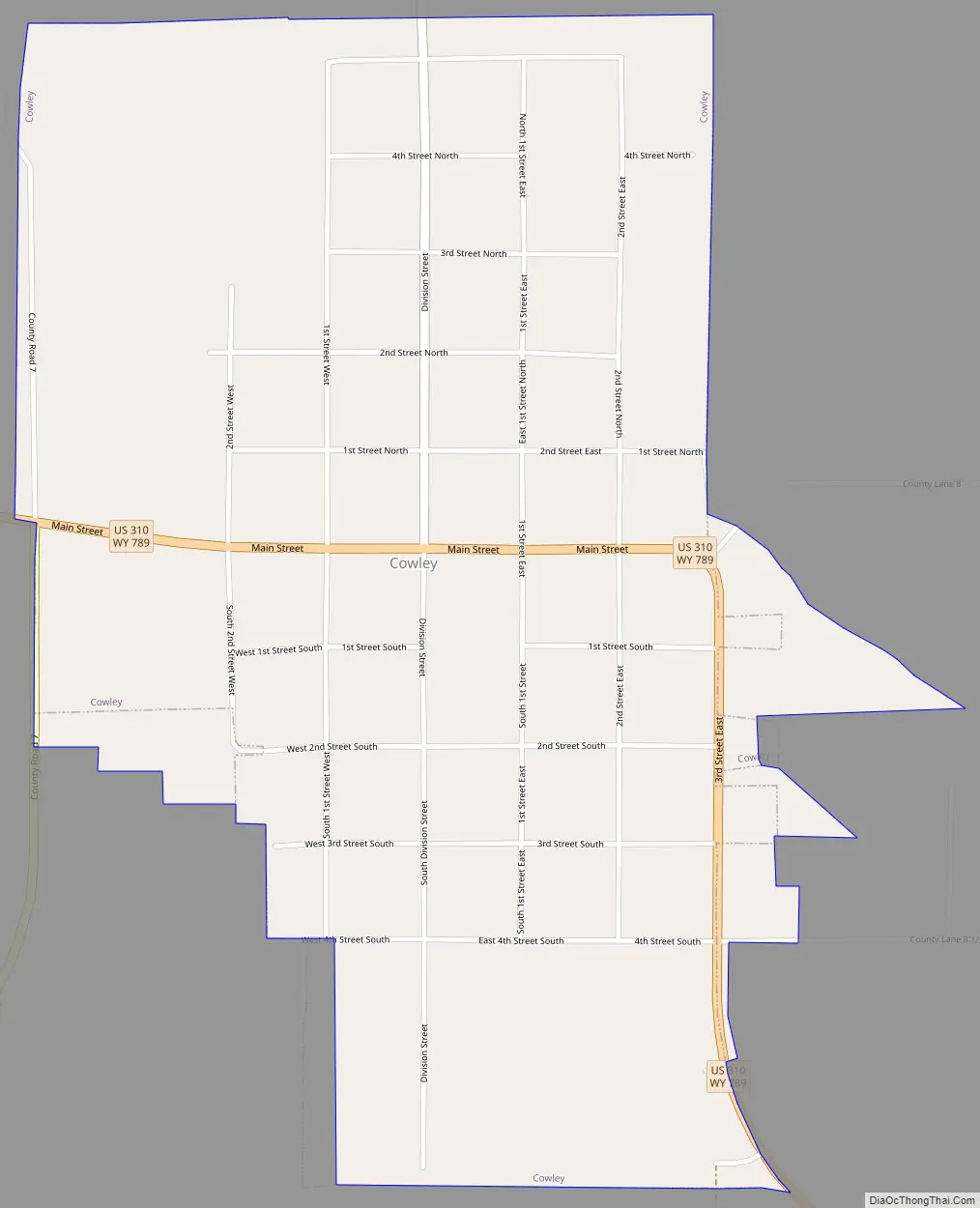
Cowley Road Map
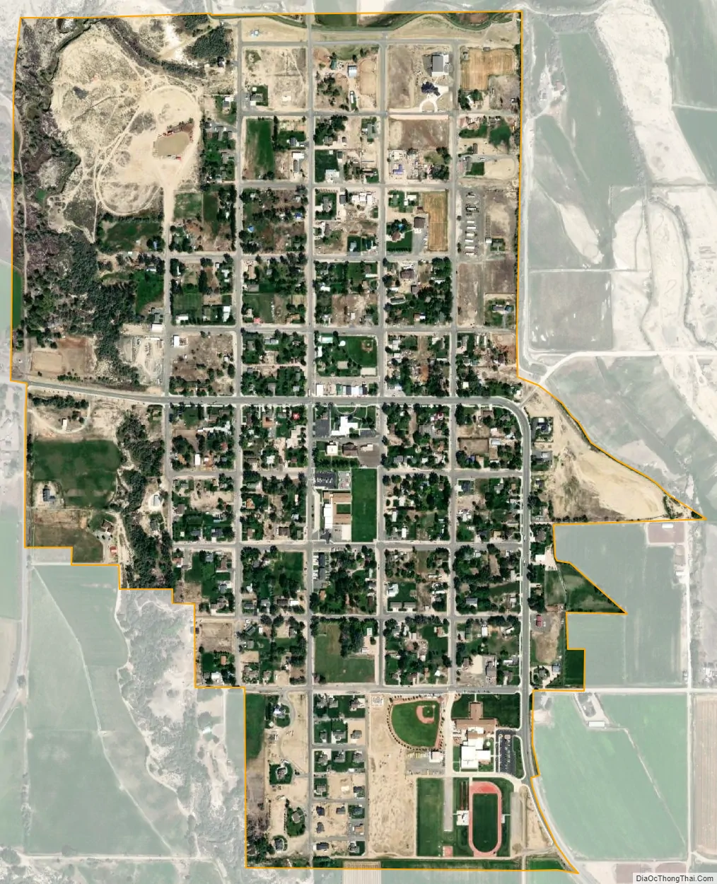
Cowley city Satellite Map
Geography
Cowley is located at 44°52′58″N 108°28′5″W / 44.88278°N 108.46806°W / 44.88278; -108.46806 (44.882684, -108.468193). According to the United States Census Bureau, the town has a total area of 0.84 square miles (2.18 km), all land.
See also
Map of Wyoming State and its subdivision: Map of other states:- Alabama
- Alaska
- Arizona
- Arkansas
- California
- Colorado
- Connecticut
- Delaware
- District of Columbia
- Florida
- Georgia
- Hawaii
- Idaho
- Illinois
- Indiana
- Iowa
- Kansas
- Kentucky
- Louisiana
- Maine
- Maryland
- Massachusetts
- Michigan
- Minnesota
- Mississippi
- Missouri
- Montana
- Nebraska
- Nevada
- New Hampshire
- New Jersey
- New Mexico
- New York
- North Carolina
- North Dakota
- Ohio
- Oklahoma
- Oregon
- Pennsylvania
- Rhode Island
- South Carolina
- South Dakota
- Tennessee
- Texas
- Utah
- Vermont
- Virginia
- Washington
- West Virginia
- Wisconsin
- Wyoming