Farson is a census-designated place (CDP) in Sweetwater County, Wyoming, United States. The population was 313 at the 2010 census.
| Name: | Farson CDP |
|---|---|
| LSAD Code: | 57 |
| LSAD Description: | CDP (suffix) |
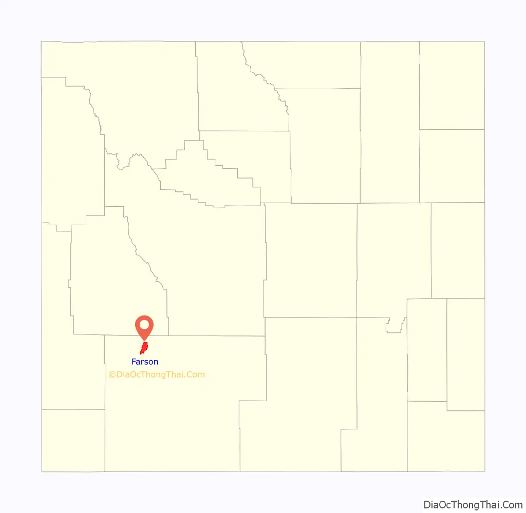
| State: | Wyoming |
| County: | Sweetwater County |
| Elevation: | 6,595 ft (2,010 m) |
| Total Area: | 77.8 sq mi (201.4 km²) |
| Land Area: | 75.4 sq mi (195.4 km²) |
| Water Area: | 2.4 sq mi (6.1 km²) |
| Total Population: | 313 |
| Population Density: | 4.2/sq mi (1.6/km²) |
| ZIP code: | 82932 |
| Area code: | 307 |
| FIPS code: | 5626055 |
| GNISfeature ID: | 1588389 |
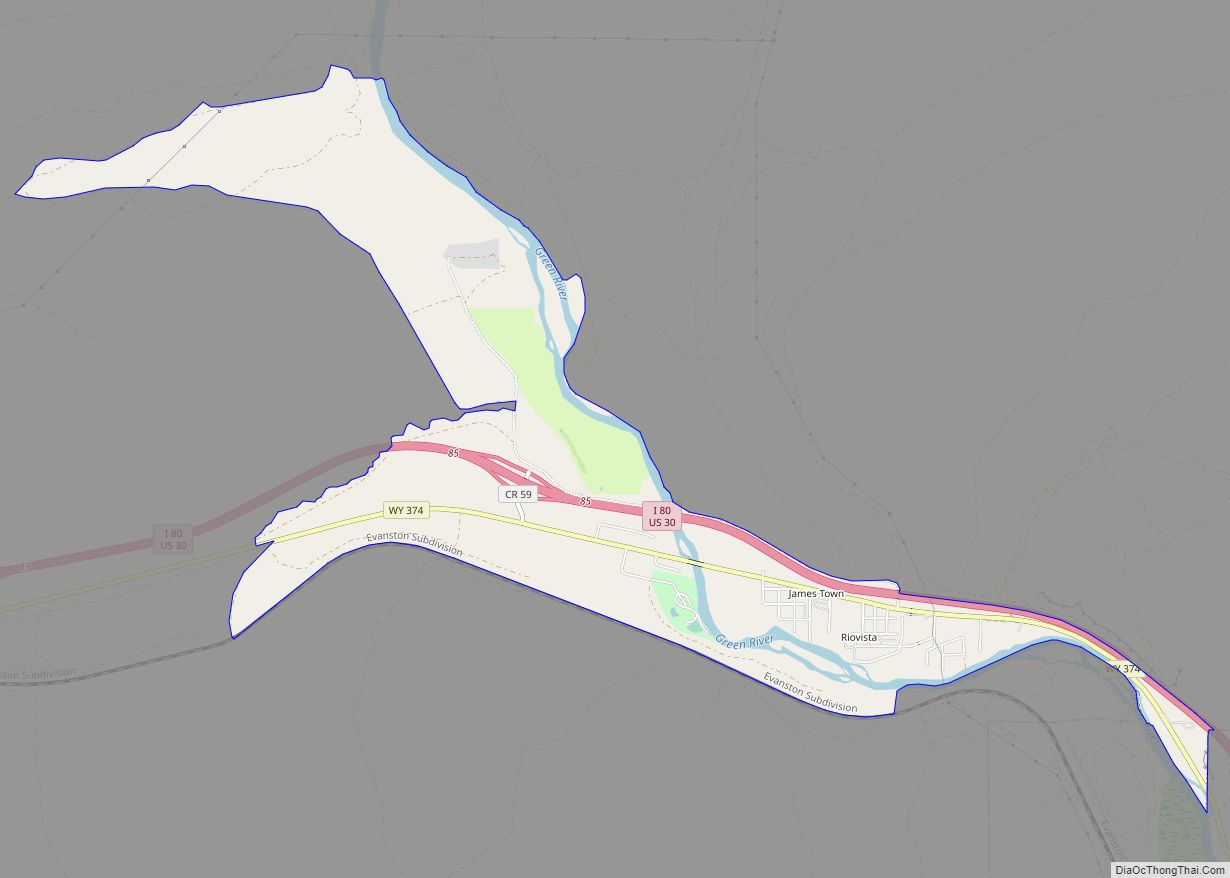
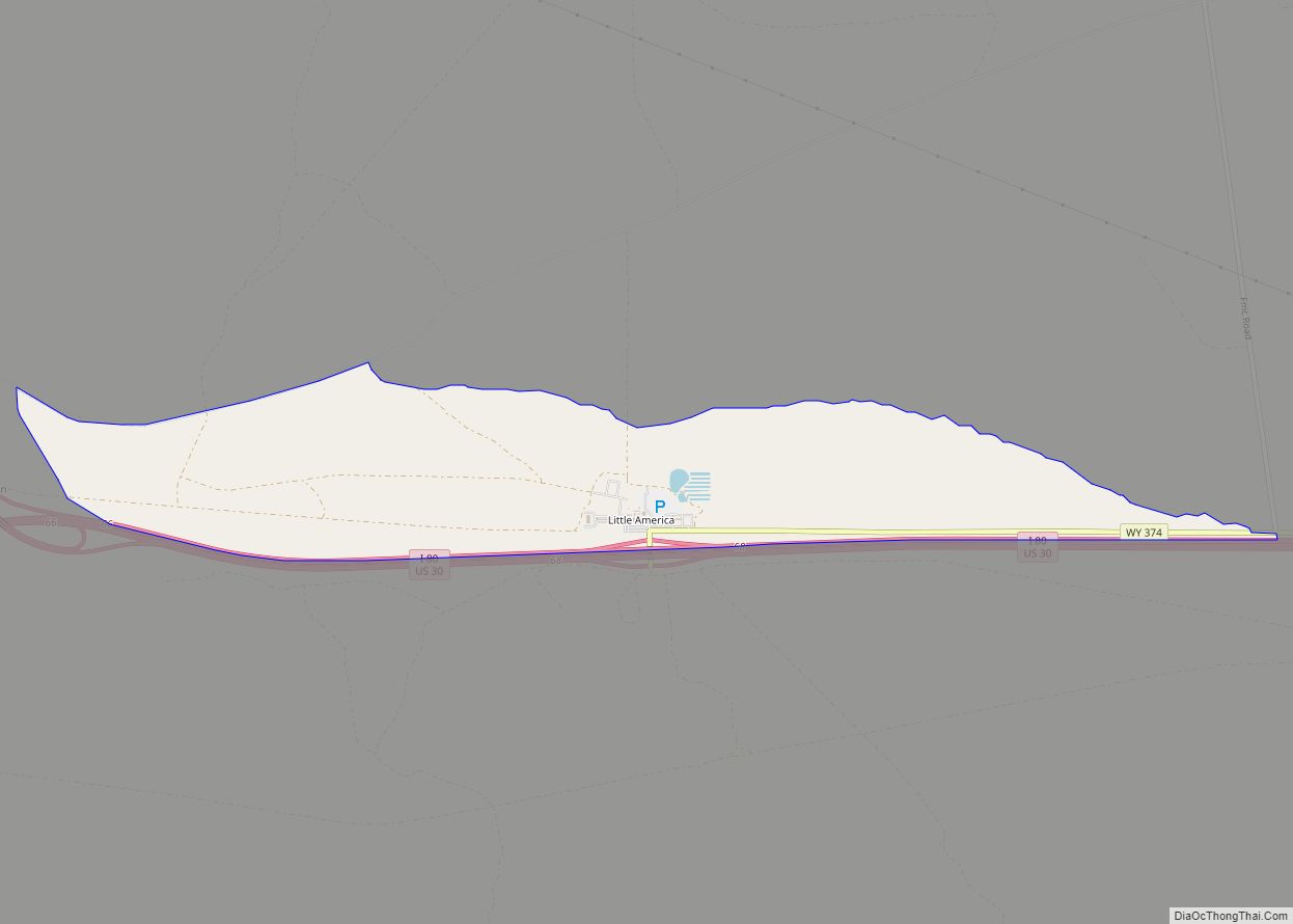
Online Interactive Map
Click on ![]() to view map in "full screen" mode.
to view map in "full screen" mode.
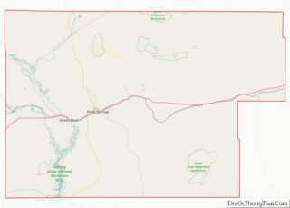
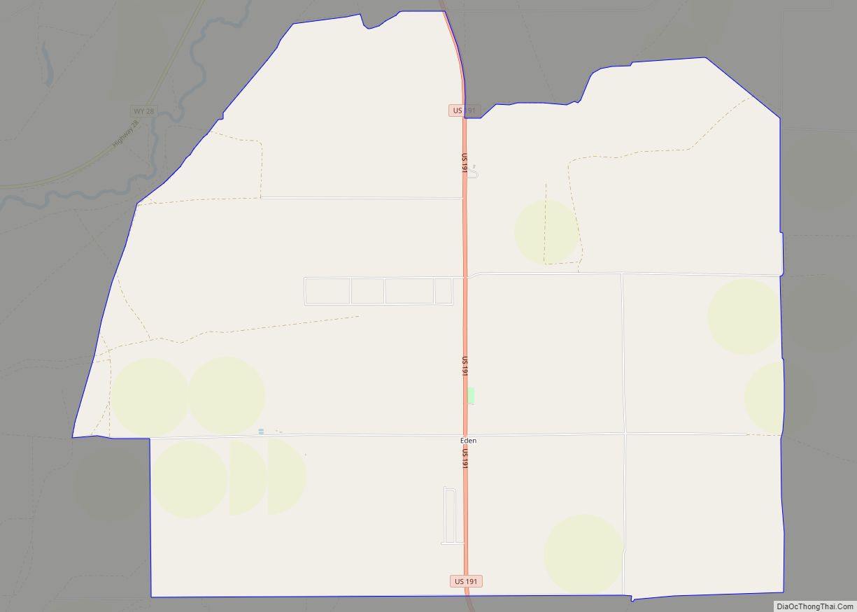
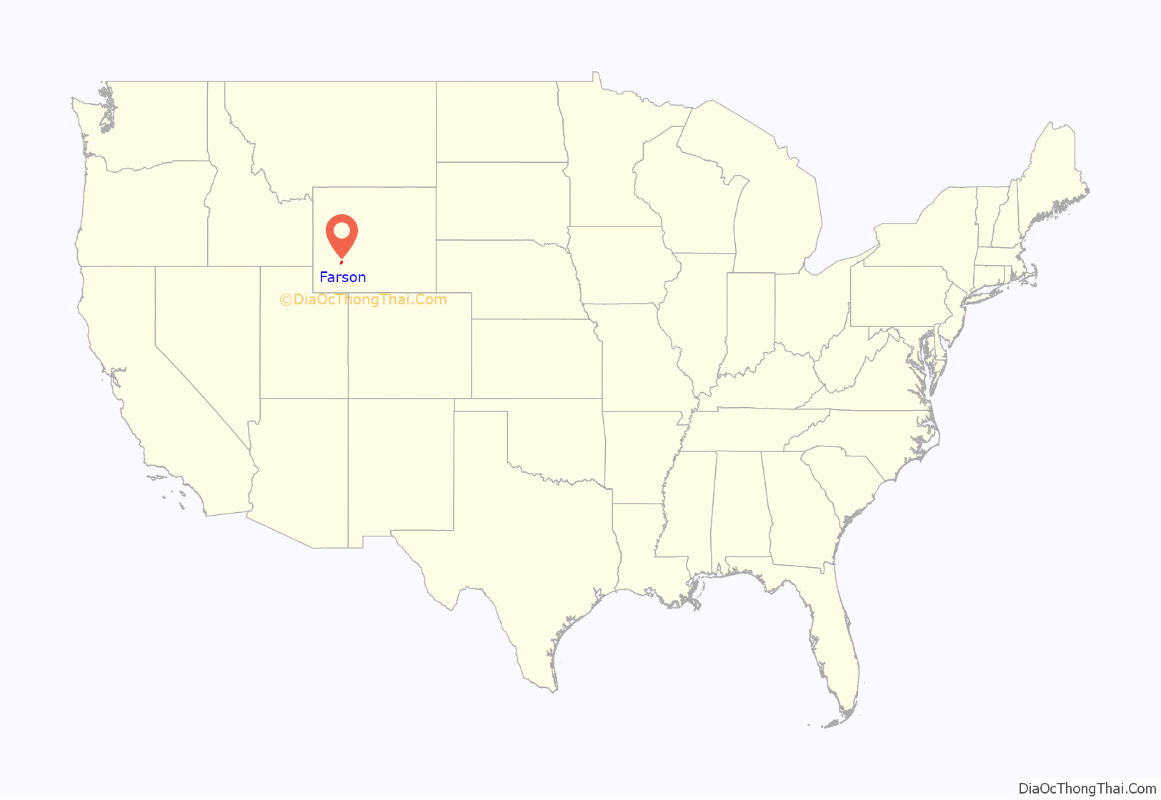
Farson location map. Where is Farson CDP?
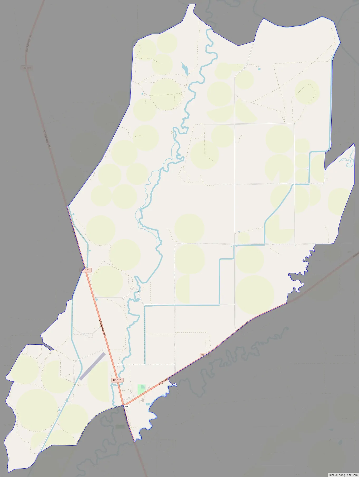
Farson Road Map
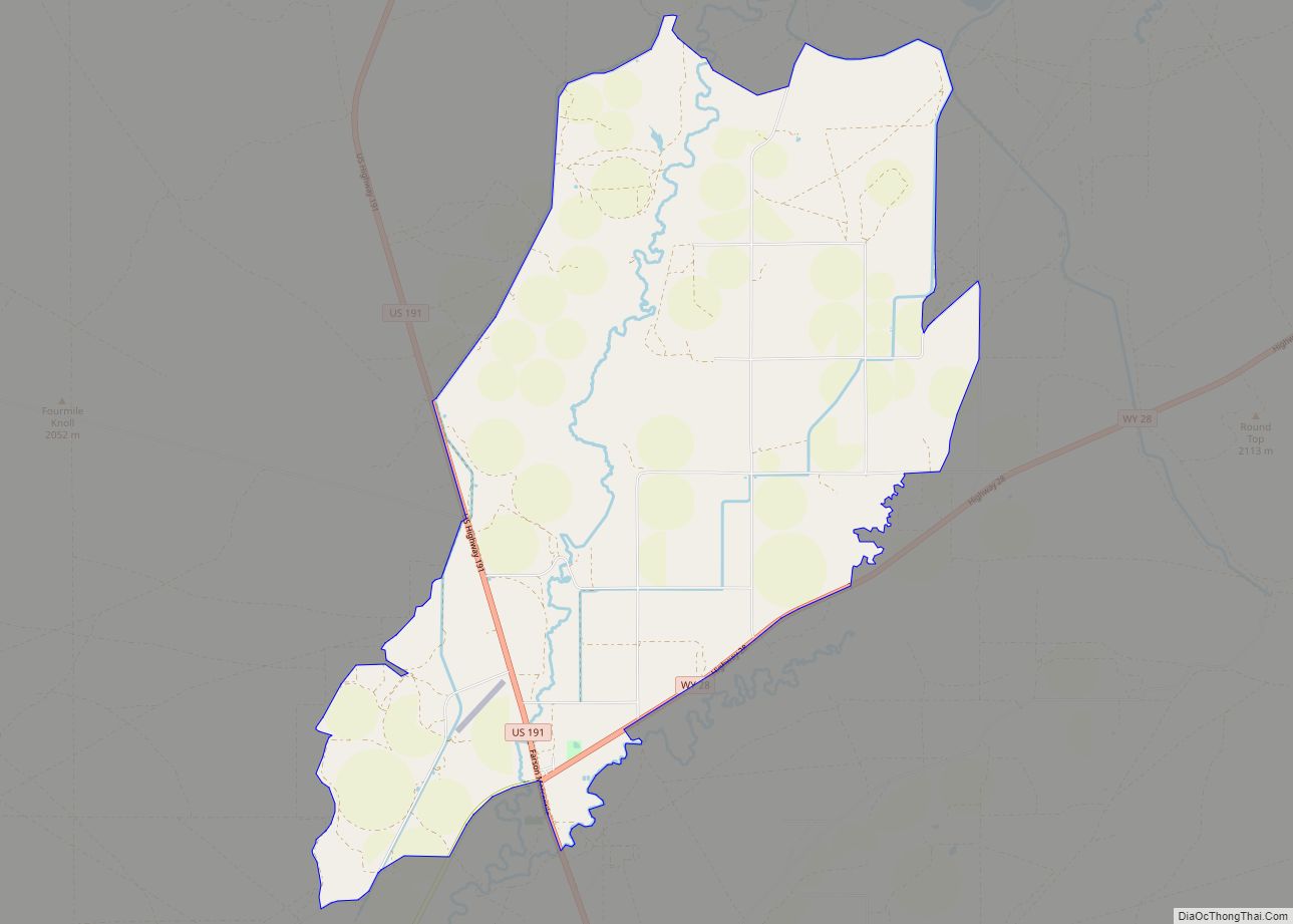
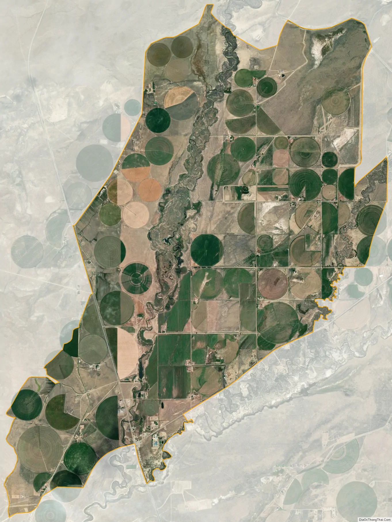
Farson city Satellite Map
Geography
Farson is located at 42°10′19″N 109°25′12″W / 42.17194°N 109.42000°W / 42.17194; -109.42000 (42.171927, -109.420096).
According to the United States Census Bureau, the CDP has a total area of 77.8 square miles (201.4 km), of which 75.4 square miles (195.4 km) of land and 2.3 square miles (6.1 km) (3.02%) is water.
Farson lies at the intersection of U.S. 191 and Wyoming Highway 28 (the South Pass Highway). It is 40 miles north of Rock Springs and approximately 45 miles southwest of South Pass.
Climate
According to the Köppen Climate Classification system, Farson has a cold semi-arid climate, abbreviated “BSk” on climate maps. The hottest temperature recorded in Farson was 102 °F (39 °C) on July 9, 2018, while the coldest temperature recorded was −52 °F (−47 °C) on December 31, 1978.
See also
Map of Wyoming State and its subdivision: Map of other states:- Alabama
- Alaska
- Arizona
- Arkansas
- California
- Colorado
- Connecticut
- Delaware
- District of Columbia
- Florida
- Georgia
- Hawaii
- Idaho
- Illinois
- Indiana
- Iowa
- Kansas
- Kentucky
- Louisiana
- Maine
- Maryland
- Massachusetts
- Michigan
- Minnesota
- Mississippi
- Missouri
- Montana
- Nebraska
- Nevada
- New Hampshire
- New Jersey
- New Mexico
- New York
- North Carolina
- North Dakota
- Ohio
- Oklahoma
- Oregon
- Pennsylvania
- Rhode Island
- South Carolina
- South Dakota
- Tennessee
- Texas
- Utah
- Vermont
- Virginia
- Washington
- West Virginia
- Wisconsin
- Wyoming