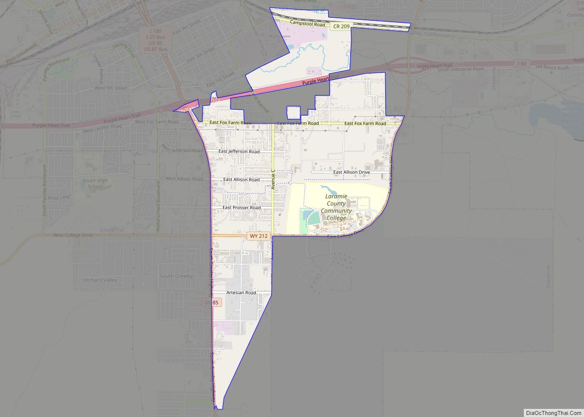
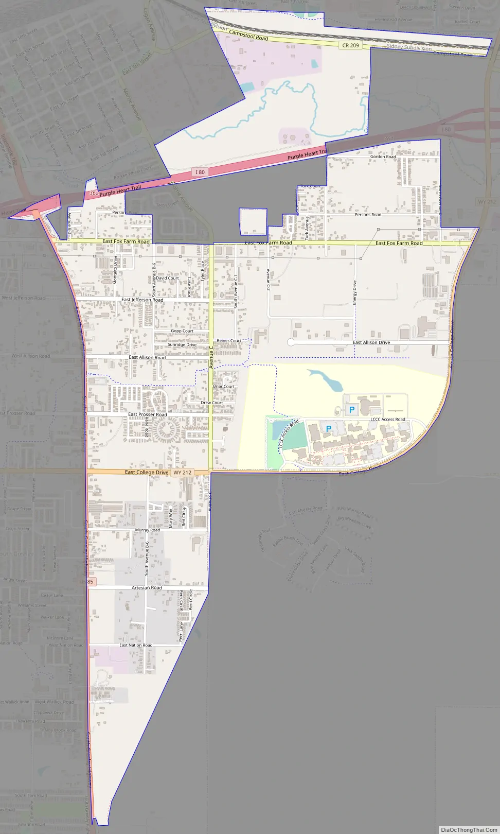
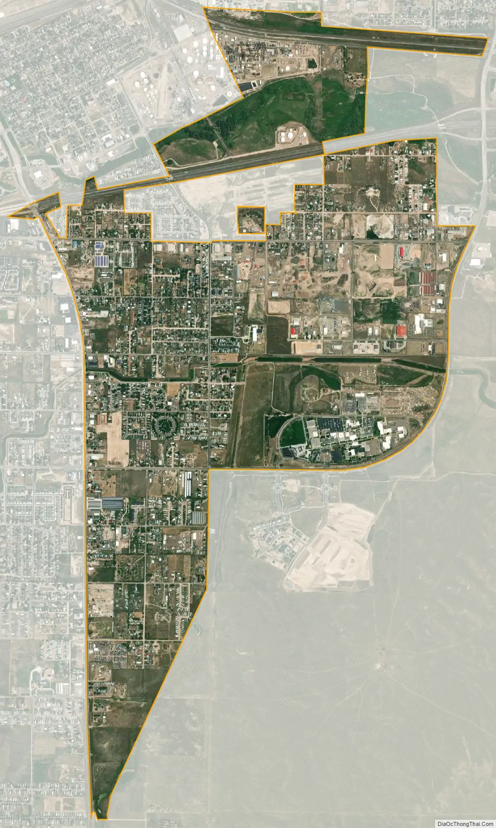
Fox Farm-College is a census-designated place (CDP) in Laramie County, Wyoming, United States. It is part of the Cheyenne, Wyoming Metropolitan Statistical Area. The population was 3,876 people at the 2020 census.
| Name: | Fox Farm-College CDP |
|---|---|
| LSAD Code: | 57 |
| LSAD Description: | CDP (suffix) |
| State: | Wyoming |
| County: | Laramie County |
| Total Area: | 3.5 sq mi (9.0 km²) |
| Land Area: | 3.5 sq mi (9.0 km²) |
| Water Area: | 0.0 sq mi (0.0 km²) |
| Total Population: | 3,647 |
| Population Density: | 1,000/sq mi (410/km²) |
| Area code: | 307 |
| FIPS code: | 5629300 |
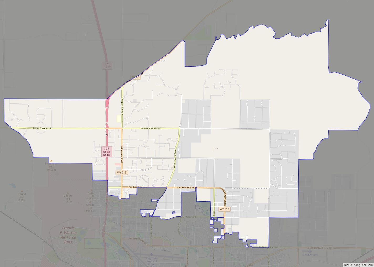
Online Interactive Map
Click on ![]() to view map in "full screen" mode.
to view map in "full screen" mode.
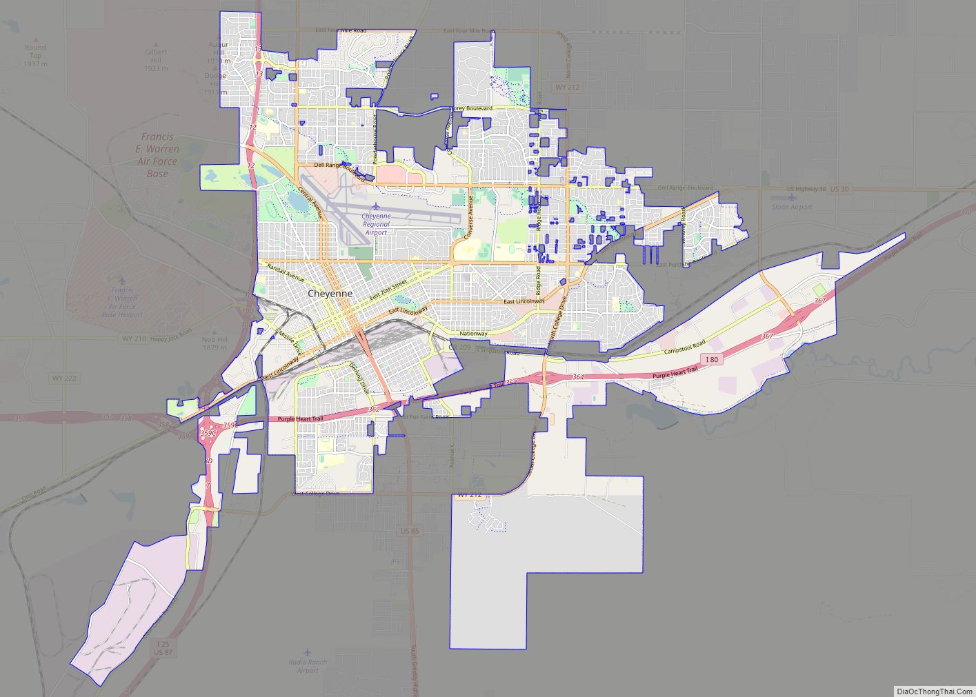
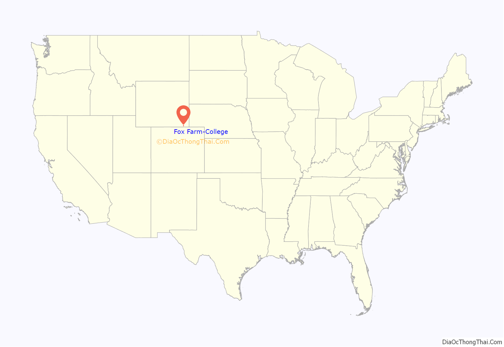
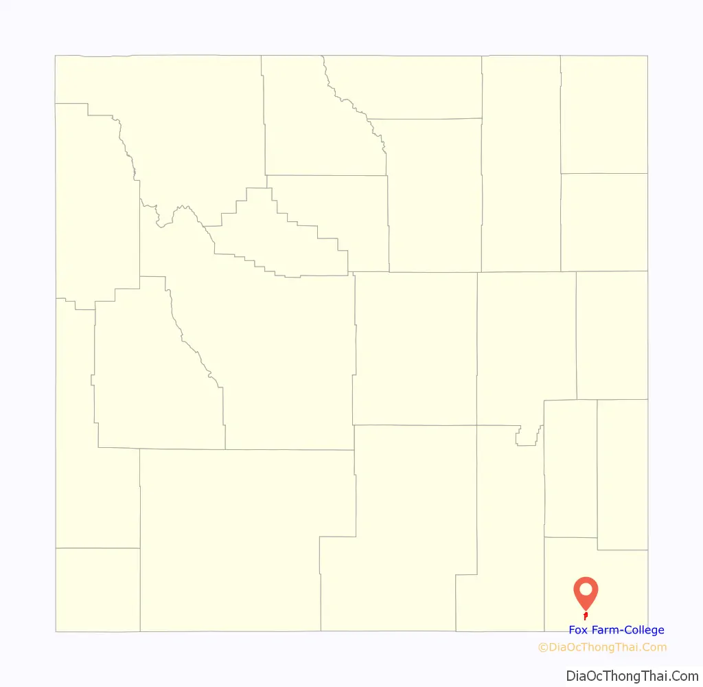
Fox Farm-College location map. Where is Fox Farm-College CDP?
Fox Farm-College Road Map
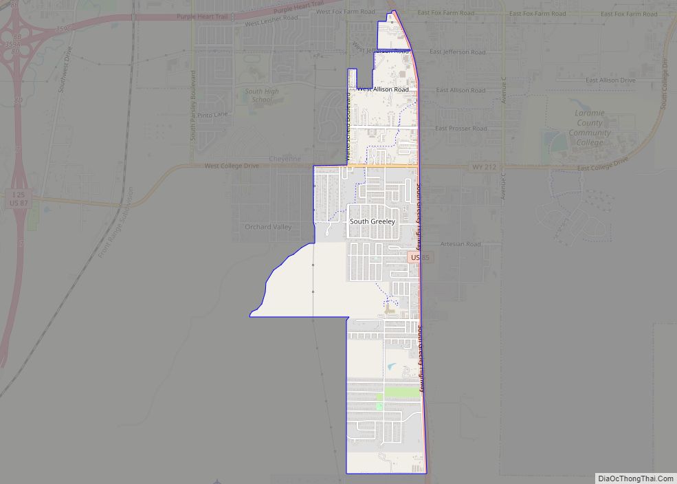
Fox Farm-College city Satellite Map
Geography
Fox Farm-College is located at 41°6′31″N 104°47′19″W / 41.10861°N 104.78861°W / 41.10861; -104.78861 (41.108679, -104.788744).
According to the United States Census Bureau, the CDP has a total area of 3.5 square miles (9.0 km), all land.
See also
Map of Wyoming State and its subdivision: Map of other states:- Alabama
- Alaska
- Arizona
- Arkansas
- California
- Colorado
- Connecticut
- Delaware
- District of Columbia
- Florida
- Georgia
- Hawaii
- Idaho
- Illinois
- Indiana
- Iowa
- Kansas
- Kentucky
- Louisiana
- Maine
- Maryland
- Massachusetts
- Michigan
- Minnesota
- Mississippi
- Missouri
- Montana
- Nebraska
- Nevada
- New Hampshire
- New Jersey
- New Mexico
- New York
- North Carolina
- North Dakota
- Ohio
- Oklahoma
- Oregon
- Pennsylvania
- Rhode Island
- South Carolina
- South Dakota
- Tennessee
- Texas
- Utah
- Vermont
- Virginia
- Washington
- West Virginia
- Wisconsin
- Wyoming