Hanna is a town in Carbon County, Wyoming, United States. The population was 683 at the 2020 census. The town was started as a coal supply location for the Union Pacific Railroad. Much of the old town is built on top of the former workings of the Hanna No. 4 mine. On December 18, 1979, the Town of Hanna annexed the adjacent Town of Elmo. The population peaked at 2,288 in 1980 and has declined as local coal mines have ceased operation.
| Name: | Hanna town |
|---|---|
| LSAD Code: | 43 |
| LSAD Description: | town (suffix) |
| State: | Wyoming |
| County: | Carbon County |
| Elevation: | 6,818 ft (2,078 m) |
| Total Area: | 2.04 sq mi (5.30 km²) |
| Land Area: | 2.04 sq mi (5.30 km²) |
| Water Area: | 0.00 sq mi (0.00 km²) |
| Total Population: | 683 |
| Population Density: | 376.04/sq mi (145.20/km²) |
| ZIP code: | 82327 |
| Area code: | 307 |
| FIPS code: | 5635335 |
| GNISfeature ID: | 1589288 |
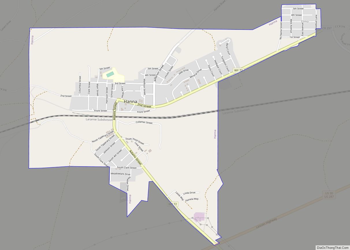
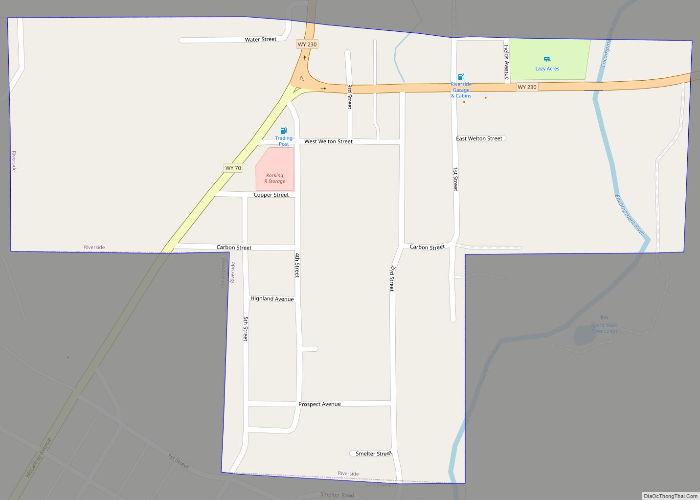
Online Interactive Map
Click on ![]() to view map in "full screen" mode.
to view map in "full screen" mode.
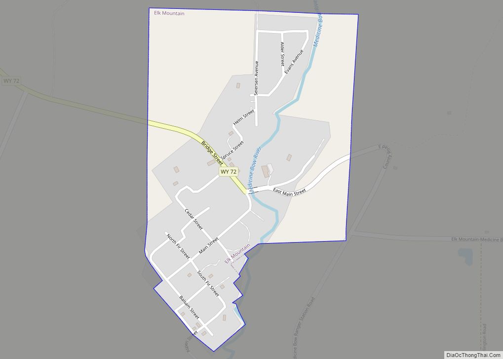
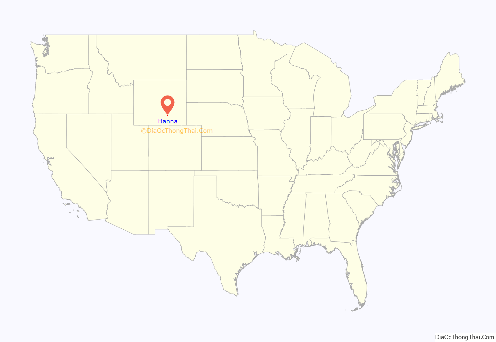
Hanna location map. Where is Hanna town?

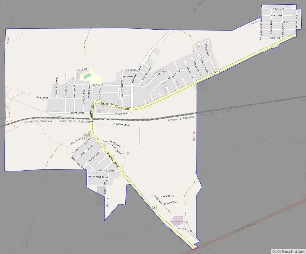
Hanna Road Map
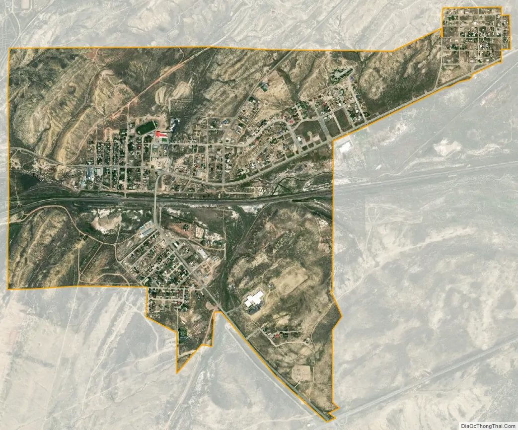
Hanna city Satellite Map
Geography
Hanna is located at 41°52′15″N 106°33′26″W / 41.87083°N 106.55722°W / 41.87083; -106.55722 (41.870928, -106.557297).
According to the United States Census Bureau, the town has a total area of 2.05 square miles (5.31 km), all land.
See also
Map of Wyoming State and its subdivision: Map of other states:- Alabama
- Alaska
- Arizona
- Arkansas
- California
- Colorado
- Connecticut
- Delaware
- District of Columbia
- Florida
- Georgia
- Hawaii
- Idaho
- Illinois
- Indiana
- Iowa
- Kansas
- Kentucky
- Louisiana
- Maine
- Maryland
- Massachusetts
- Michigan
- Minnesota
- Mississippi
- Missouri
- Montana
- Nebraska
- Nevada
- New Hampshire
- New Jersey
- New Mexico
- New York
- North Carolina
- North Dakota
- Ohio
- Oklahoma
- Oregon
- Pennsylvania
- Rhode Island
- South Carolina
- South Dakota
- Tennessee
- Texas
- Utah
- Vermont
- Virginia
- Washington
- West Virginia
- Wisconsin
- Wyoming