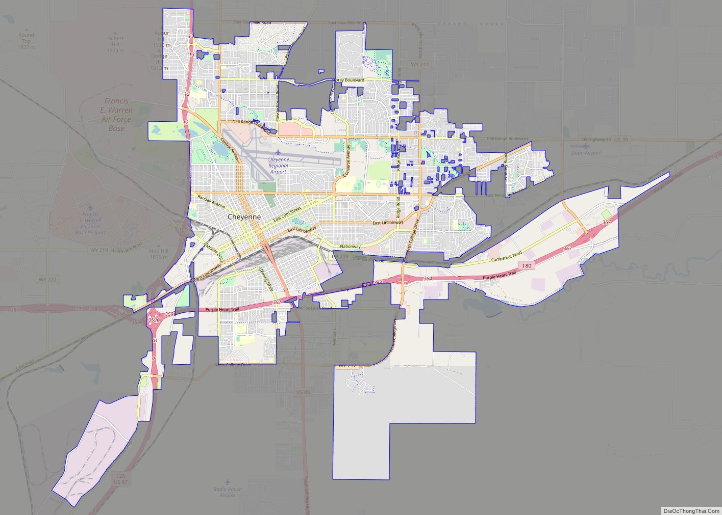
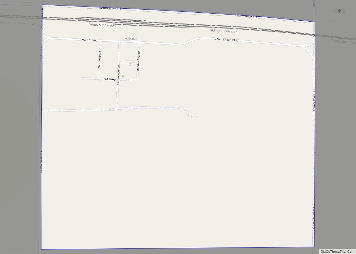
Hillsdale is an unincorporated community and census-designated place in southeastern Laramie County, Wyoming, United States. As of the 2010 census, it had a population of 47. It lies along local roads east of the city of Cheyenne, the county seat of Laramie County. Its elevation is 5,640 feet (1,720 m) above sea level. Although Hillsdale is unincorporated, it has a post office, with the ZIP code of 82060. Public education in the community of Hillsdale is provided by Laramie County School District #2.
Hillsdale was named for Lathrop Hills, a Surveyor for the Union Pacific Railroad who was killed nearby along Lodgepole Creek on June 11, 1867, while leading a party surveying a route of the Transcontinental Railroad.
Hillsdale was platted as a townsite in April 2013.
| Name: | Hillsdale CDP |
|---|---|
| LSAD Code: | 57 |
| LSAD Description: | CDP (suffix) |
| State: | Wyoming |
| County: | Laramie County |
| Elevation: | 5,640 ft (1,720 m) |
| Total Area: | 0.8 sq mi (2.2 km²) |
| Land Area: | 0.8 sq mi (2.2 km²) |
| Water Area: | 0 sq mi (0 km²) |
| Total Population: | 47 |
| Population Density: | 55/sq mi (21/km²) |
| ZIP code: | 82060 |
| FIPS code: | 5637510 |
| GNISfeature ID: | 1589581 |
Online Interactive Map
Click on ![]() to view map in "full screen" mode.
to view map in "full screen" mode.
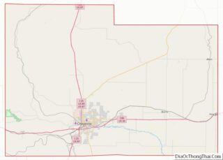
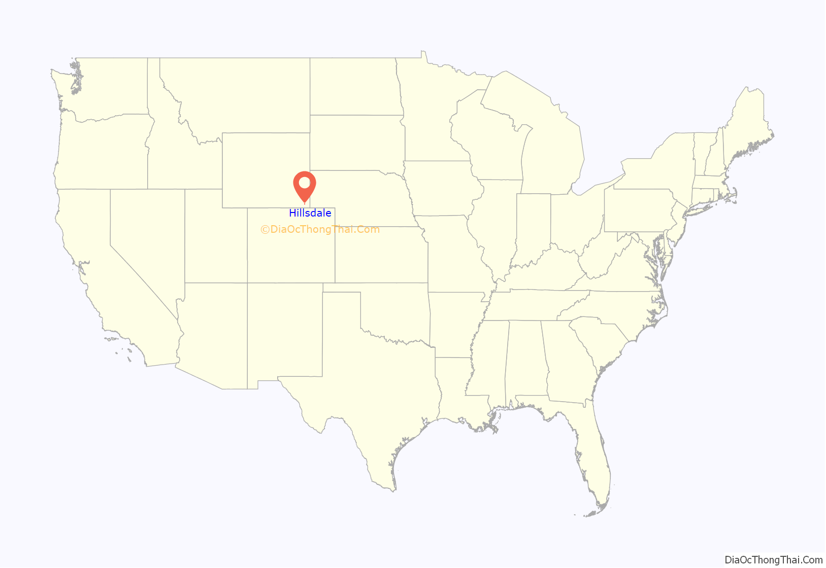
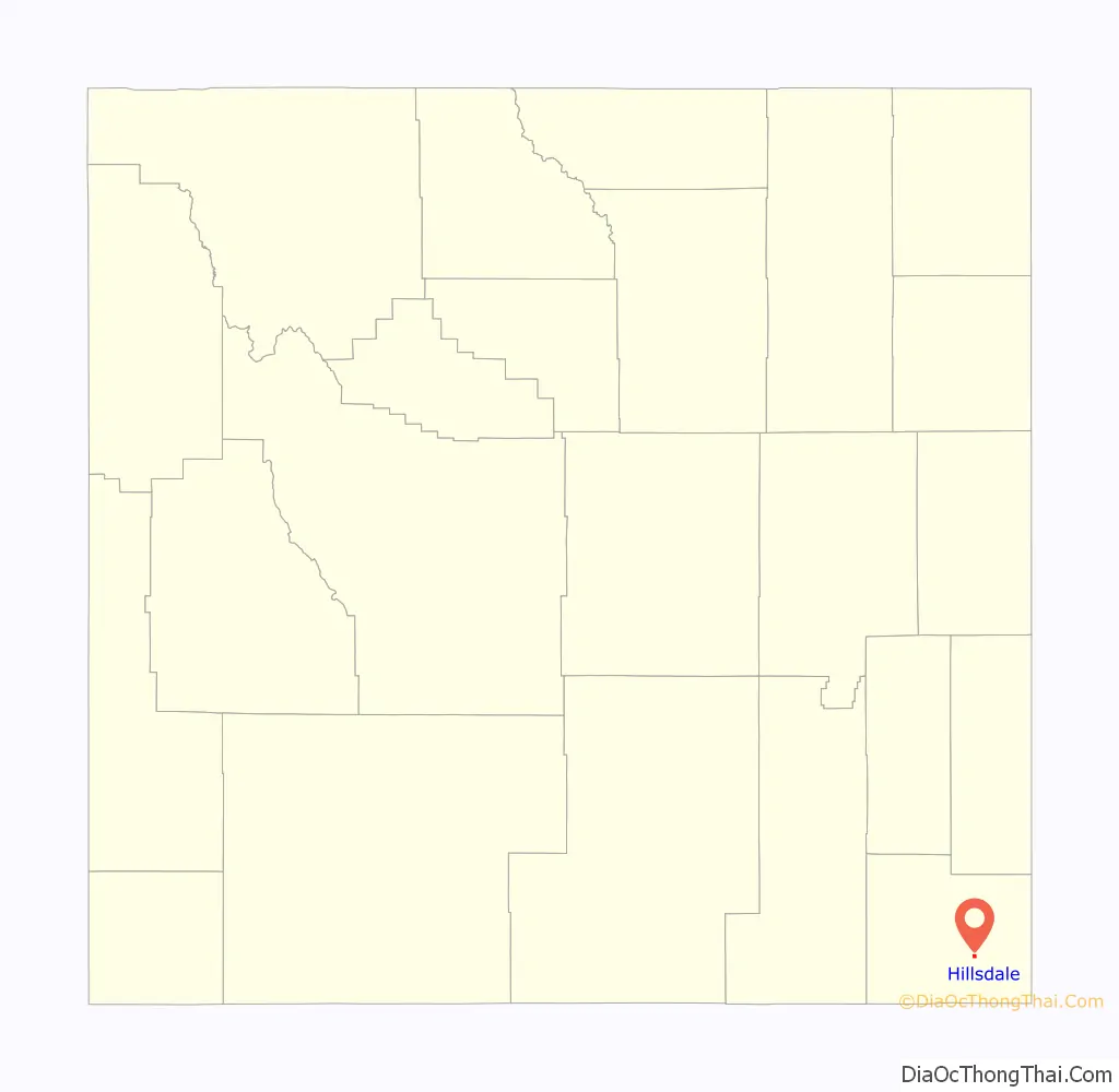
Hillsdale location map. Where is Hillsdale CDP?
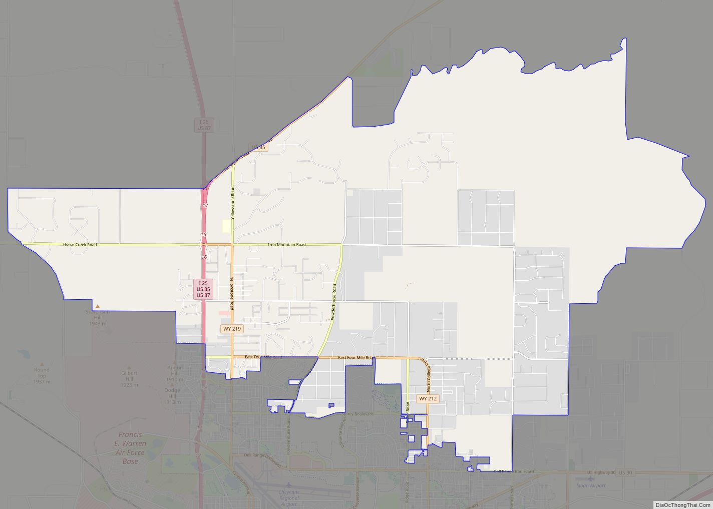
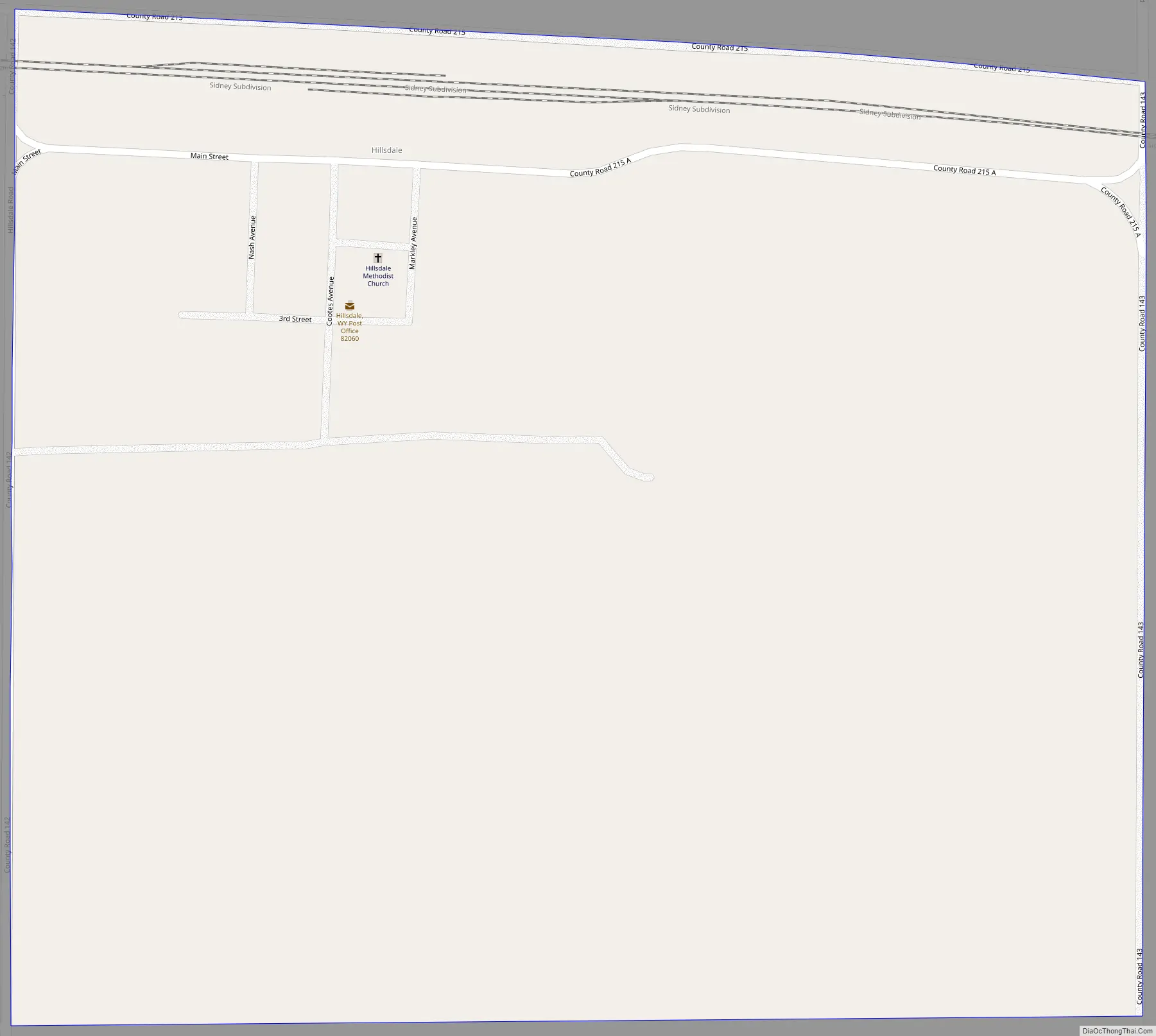
Hillsdale Road Map
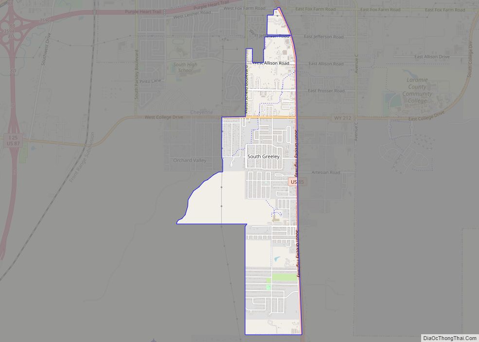
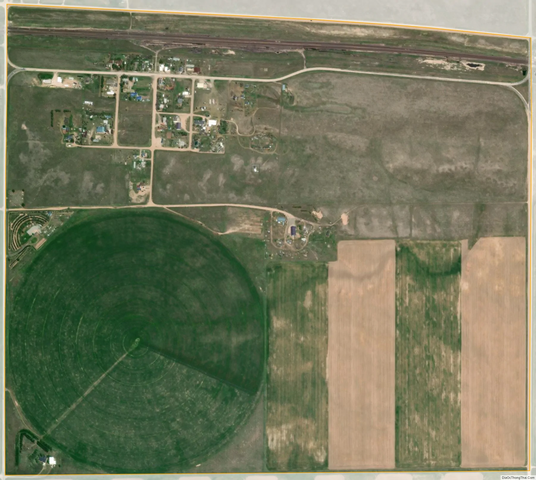
Hillsdale city Satellite Map
See also
Map of Wyoming State and its subdivision: Map of other states:- Alabama
- Alaska
- Arizona
- Arkansas
- California
- Colorado
- Connecticut
- Delaware
- District of Columbia
- Florida
- Georgia
- Hawaii
- Idaho
- Illinois
- Indiana
- Iowa
- Kansas
- Kentucky
- Louisiana
- Maine
- Maryland
- Massachusetts
- Michigan
- Minnesota
- Mississippi
- Missouri
- Montana
- Nebraska
- Nevada
- New Hampshire
- New Jersey
- New Mexico
- New York
- North Carolina
- North Dakota
- Ohio
- Oklahoma
- Oregon
- Pennsylvania
- Rhode Island
- South Carolina
- South Dakota
- Tennessee
- Texas
- Utah
- Vermont
- Virginia
- Washington
- West Virginia
- Wisconsin
- Wyoming