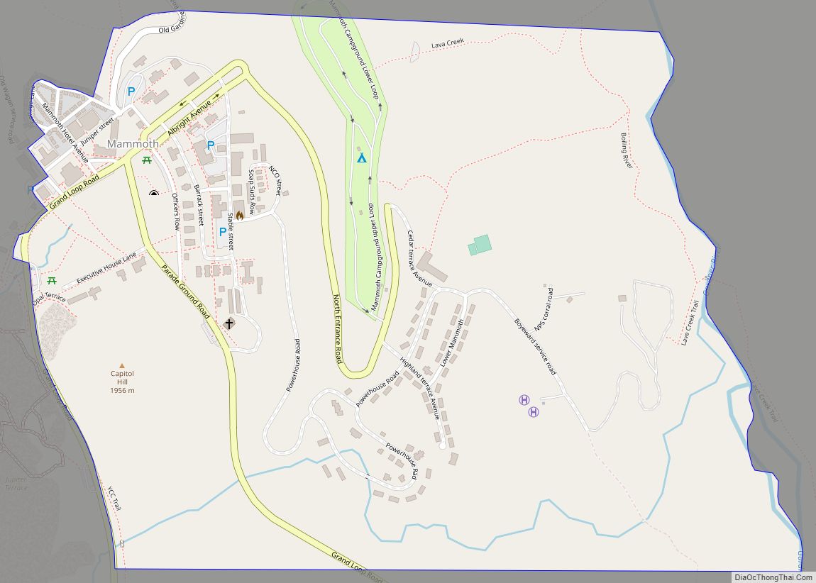
Mammoth is a census-designated place in Park County, Wyoming, United States, comprising Fort Yellowstone and Mammoth Hot Springs in Yellowstone National Park. As of the 2010 census, its population was 263.
Some students from Mammoth attend Gardiner Public Schools in Gardiner, Montana.
| Name: | Mammoth CDP |
|---|---|
| LSAD Code: | 57 |
| LSAD Description: | CDP (suffix) |
| State: | Wyoming |
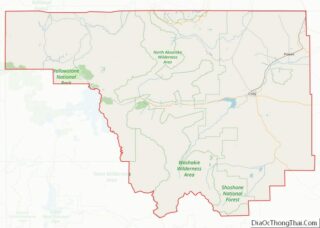
| County: | Park County |
| Total Area: | 0.788 sq mi (2.04 km²) |
| Land Area: | 0.788 sq mi (2.04 km²) |
| Water Area: | 0 sq mi (0 km²) |
| Total Population: | 263 |
| Population Density: | 330/sq mi (130/km²) |
| ZIP code: | 82190 |
| FIPS code: | 5649775 |
| GNISfeature ID: | 1591192 |
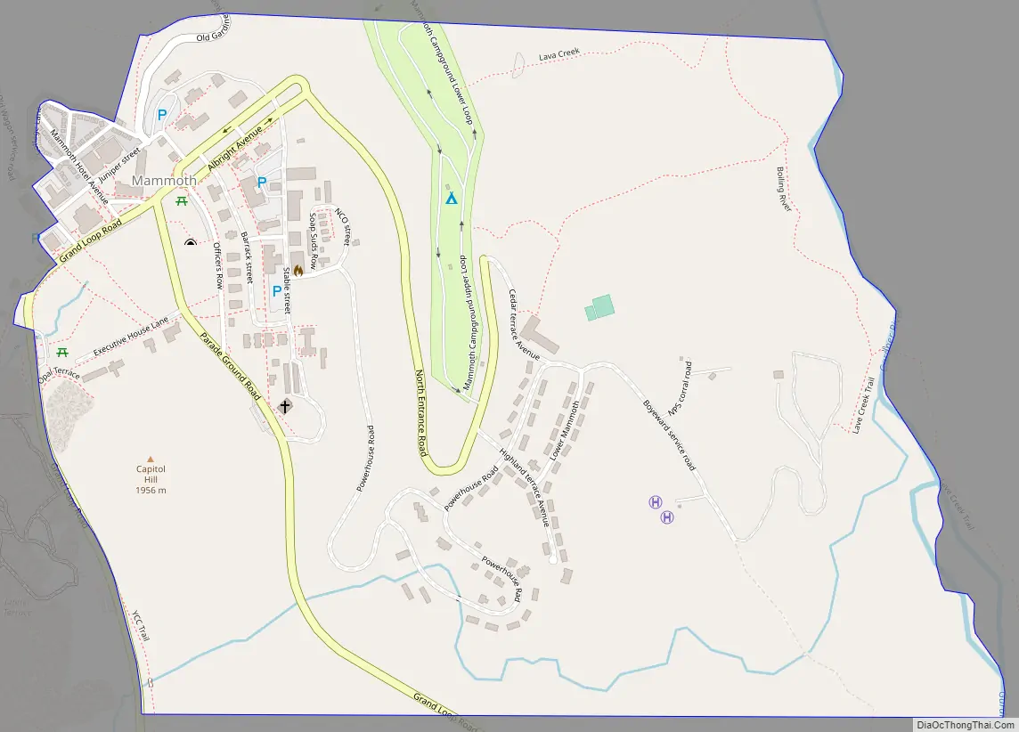
Online Interactive Map
Click on ![]() to view map in "full screen" mode.
to view map in "full screen" mode.
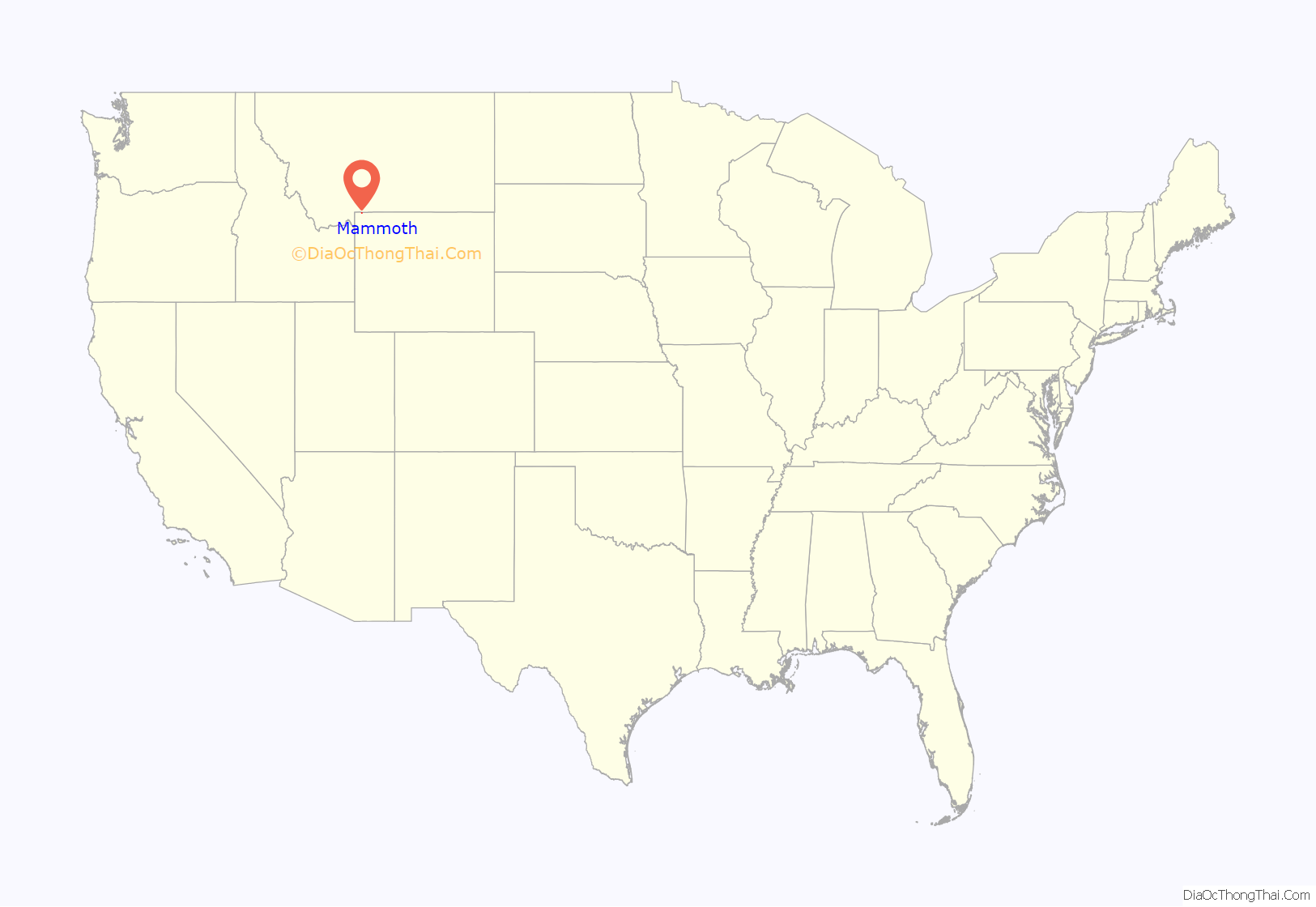
Mammoth location map. Where is Mammoth CDP?
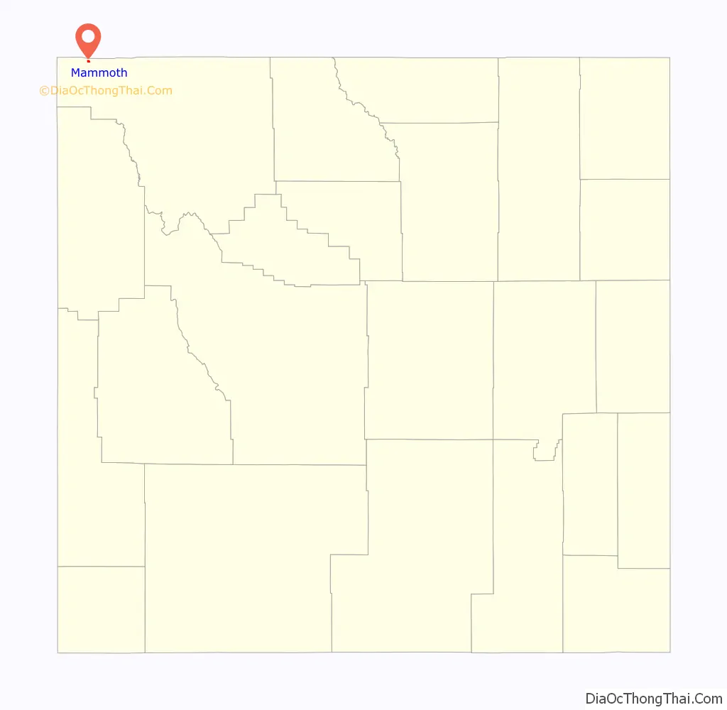
Mammoth Road Map
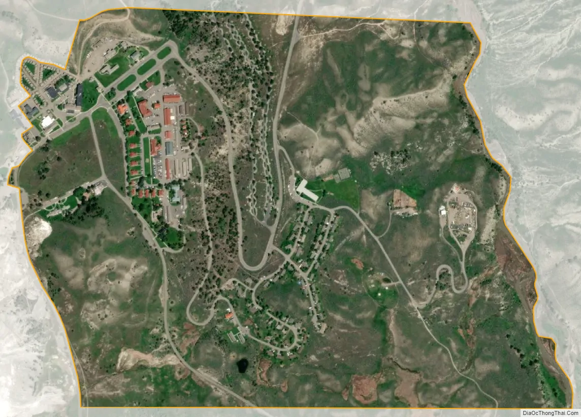
Mammoth city Satellite Map
See also
Map of Wyoming State and its subdivision: Map of other states:- Alabama
- Alaska
- Arizona
- Arkansas
- California
- Colorado
- Connecticut
- Delaware
- District of Columbia
- Florida
- Georgia
- Hawaii
- Idaho
- Illinois
- Indiana
- Iowa
- Kansas
- Kentucky
- Louisiana
- Maine
- Maryland
- Massachusetts
- Michigan
- Minnesota
- Mississippi
- Missouri
- Montana
- Nebraska
- Nevada
- New Hampshire
- New Jersey
- New Mexico
- New York
- North Carolina
- North Dakota
- Ohio
- Oklahoma
- Oregon
- Pennsylvania
- Rhode Island
- South Carolina
- South Dakota
- Tennessee
- Texas
- Utah
- Vermont
- Virginia
- Washington
- West Virginia
- Wisconsin
- Wyoming