Gardiner is a unincorporated community in Park County, Montana, United States, along the 45th parallel. As of the 2020 census, the population of the community and nearby areas was 833.
Gardiner was officially founded in 1880. The area has served as a main entrance to Yellowstone National Park since its creation in 1872. Yellowstone National Park Heritage and Research Center, which opened May 18, 2005, is located in Gardiner and houses National Park Service archives, Yellowstone museum collections and reference libraries.
Gardiner was impacted by the 2022 Montana floods.
| Name: | Gardiner CDP |
|---|---|
| LSAD Code: | 57 |
| LSAD Description: | CDP (suffix) |
| State: | Montana |
| County: | Park County |
| Founded: | 1880 |
| Elevation: | 5,259 ft (1,603 m) |
| Total Area: | 5.89 sq mi (15.27 km²) |
| Land Area: | 5.79 sq mi (15.00 km²) |
| Water Area: | 0.10 sq mi (0.27 km²) |
| Total Population: | 833 |
| Population Density: | 143.82/sq mi (55.52/km²) |
| ZIP code: | 59030 |
| Area code: | 406 |
| FIPS code: | 3029950 |
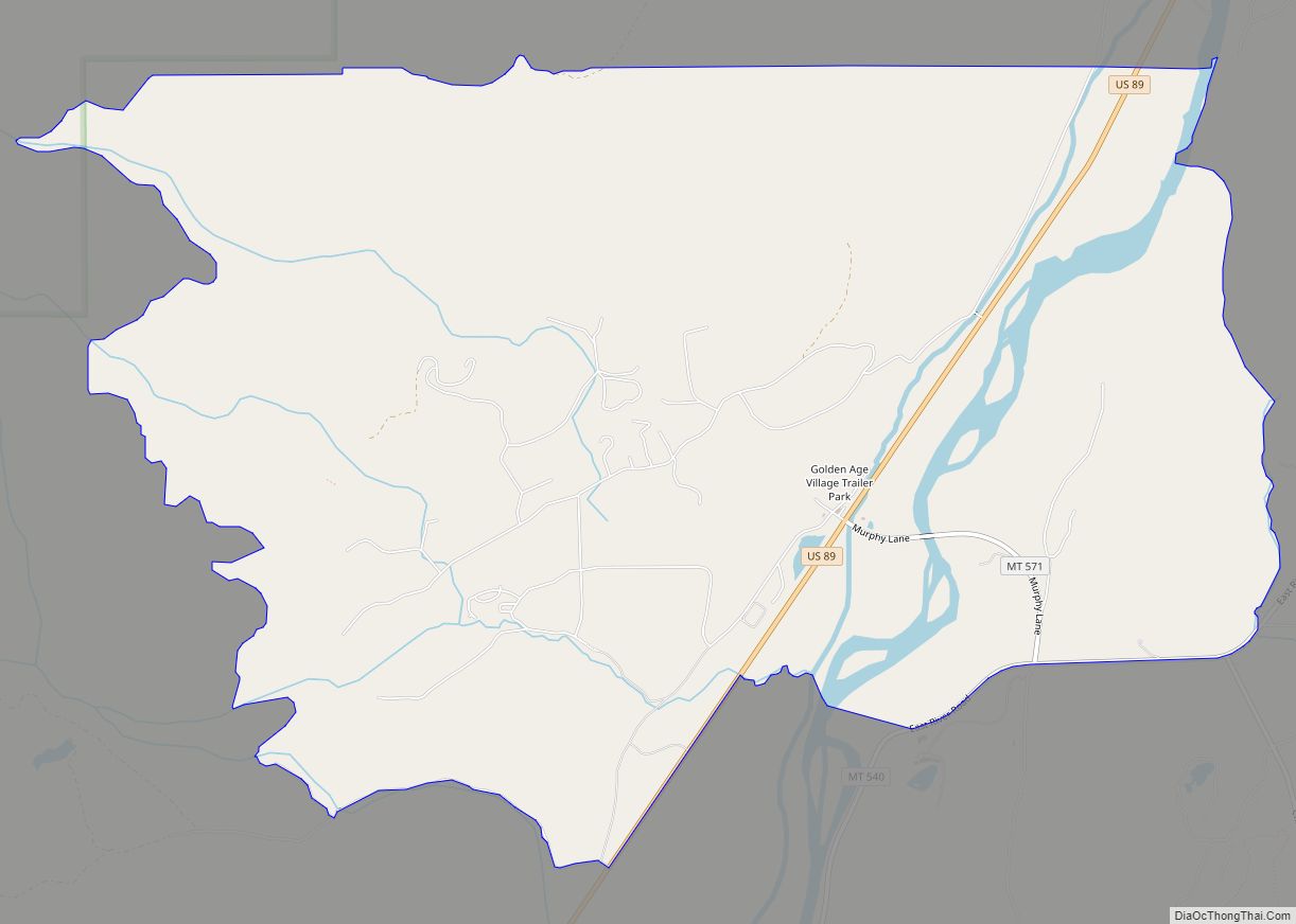
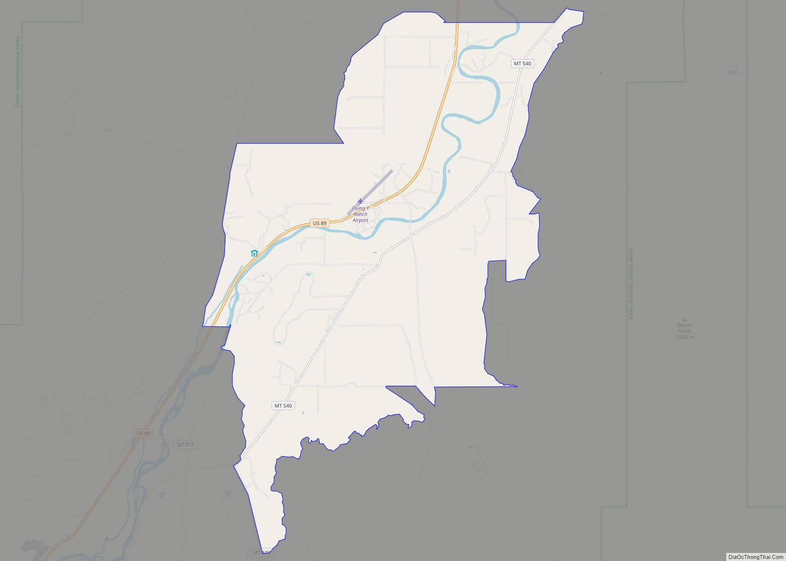
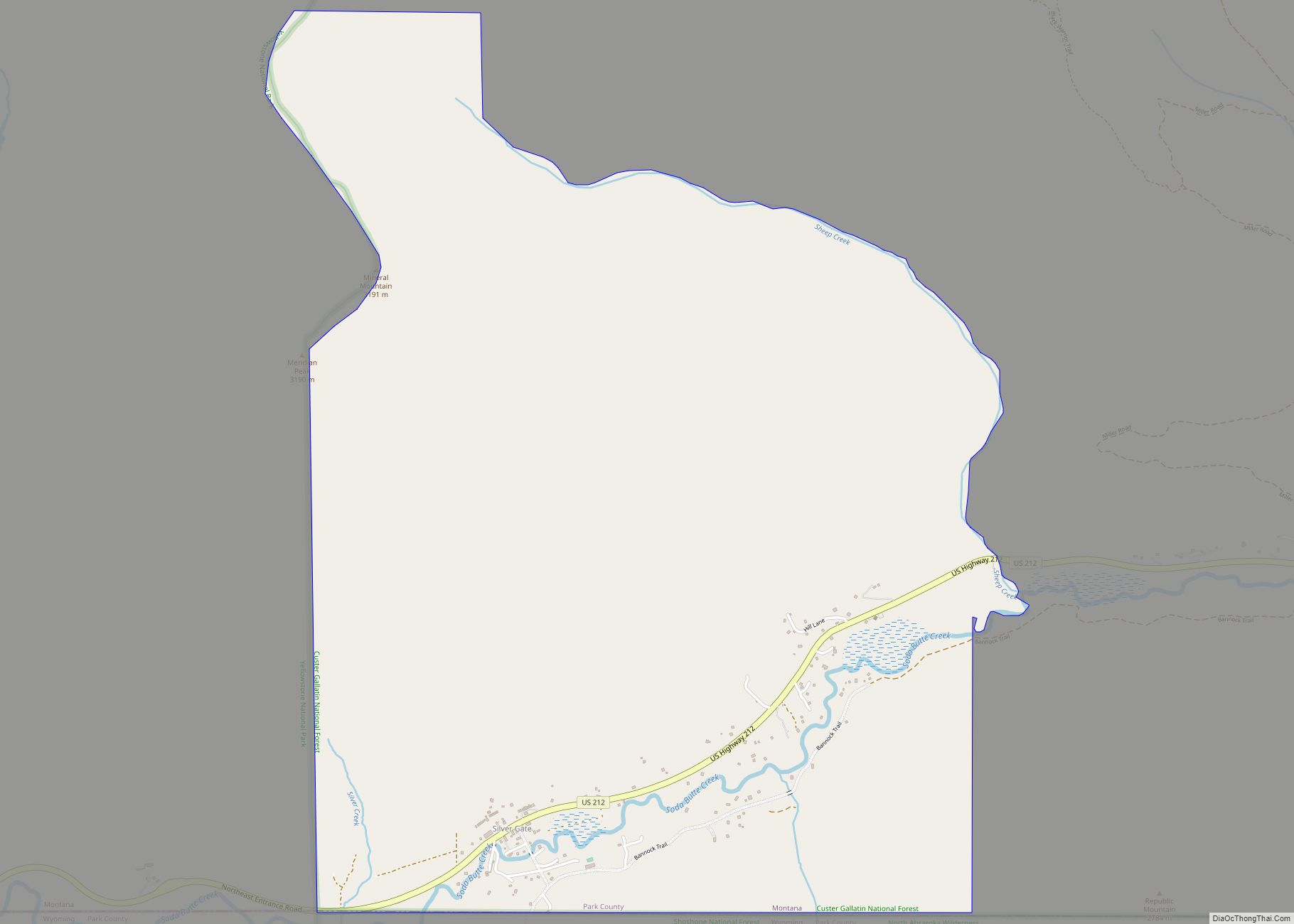
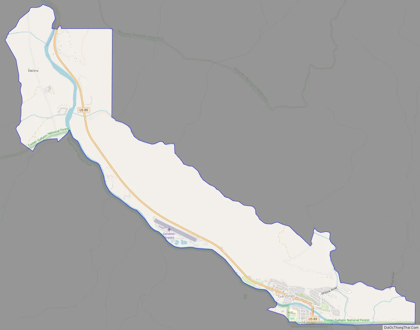
Online Interactive Map
Click on ![]() to view map in "full screen" mode.
to view map in "full screen" mode.
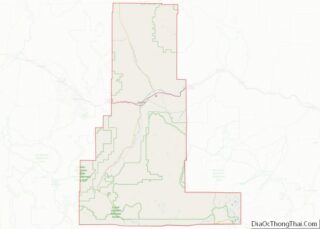
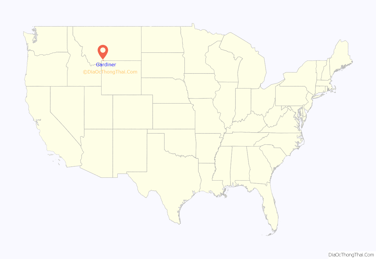
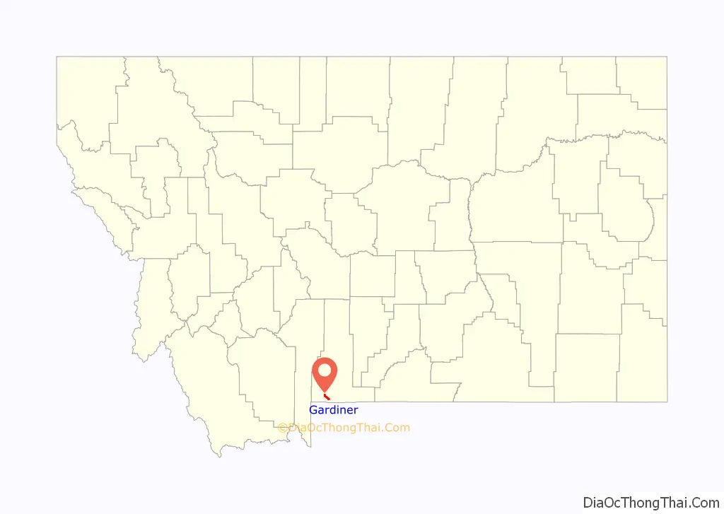
Gardiner location map. Where is Gardiner CDP?
History
The name Gardiner derives from Johnson Gardner, a fur trapper who operated in the area in 1830–31. He named the lush headwaters valley of today’s Gardner River Gardner’s Hole. Originally, named Gardner’s Fork, the river took on Gardner’s name although prospectors and explorers who visited the area later in the century were unaware of the trapper Johnson Gardner. In 1870, when the Washburn–Langford–Doane Expedition passed through the area they began calling the river Gardiner, a phonetic error. Hiram M. Chittenden (1895) and Nathaniel P. Langford (1905) confirmed this spelling in their accounts of the expedition.
When the Hayden Geological Survey of 1871 passed through the Gardiner area, they encountered two men, named J.C. McCartney and H. R. Horr, who had laid claim to 320 acres (1.3 km) and established a ranch and bath house on the Mammoth terraces near Liberty Cap. These entrepreneurs eventually established a primitive hotel at Mammoth and were not evicted from the area until many years after the park was established. McCartney also went by the name Jim Gardiner and received messages, consignments and such destined for guests of his hotel addressed to: Jim on the Gardiner. On February 9, 1880, a territorial post office was established just outside the park boundary and Gardiner, Montana began.
In 1883, the Northern Pacific Railway completed the extension of their Park Branch Line from Livingston, Montana to Cinnabar north of Gardiner. In 1903, the line was extended to Gardiner. Railway service at Gardiner station was discontinued in 1948.
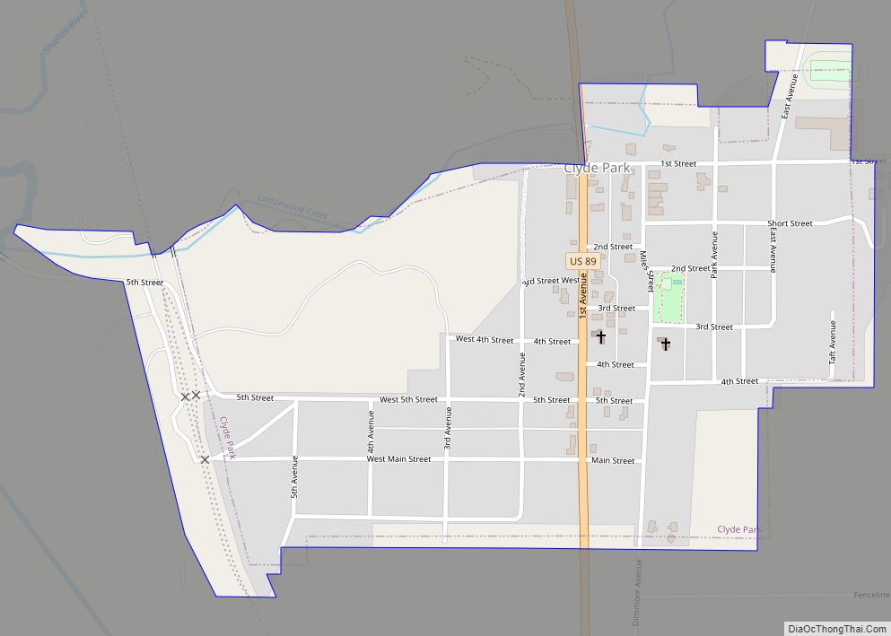
Gardiner Road Map
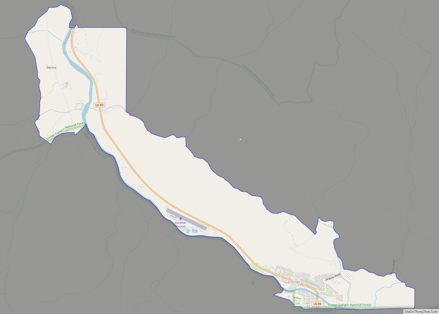
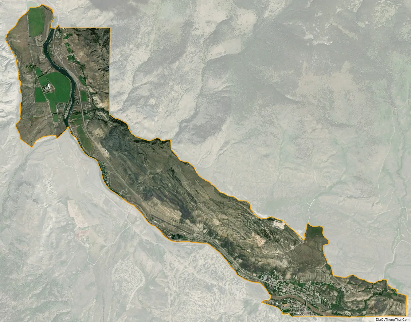
Gardiner city Satellite Map
Geography
Gardiner is located at 45°2′13″N 110°42′50″W / 45.03694°N 110.71389°W / 45.03694; -110.71389 (Gardiner, Montana)Coordinates: 45°2′13″N 110°42′50″W / 45.03694°N 110.71389°W / 45.03694; -110.71389 (Gardiner, Montana) (45.036837, -110.713768).
According to the United States Census Bureau, the CDP has a total area of 3.9 square miles (10 km), of which 3.8 square miles (9.8 km) is land and 0.1 square miles (0.26 km) (2.32%) is water.
See also
Map of Montana State and its subdivision:- Beaverhead
- Big Horn
- Blaine
- Broadwater
- Carbon
- Carter
- Cascade
- Chouteau
- Custer
- Daniels
- Dawson
- Deer Lodge
- Fallon
- Fergus
- Flathead
- Gallatin
- Garfield
- Glacier
- Golden Valley
- Granite
- Hill
- Jefferson
- Judith Basin
- Lake
- Lewis and Clark
- Liberty
- Lincoln
- Madison
- McCone
- Meagher
- Mineral
- Missoula
- Musselshell
- Park
- Petroleum
- Phillips
- Pondera
- Powder River
- Powell
- Prairie
- Ravalli
- Richland
- Roosevelt
- Rosebud
- Sanders
- Sheridan
- Silver Bow
- Stillwater
- Sweet Grass
- Teton
- Toole
- Treasure
- Valley
- Wheatland
- Wibaux
- Yellowstone
- Alabama
- Alaska
- Arizona
- Arkansas
- California
- Colorado
- Connecticut
- Delaware
- District of Columbia
- Florida
- Georgia
- Hawaii
- Idaho
- Illinois
- Indiana
- Iowa
- Kansas
- Kentucky
- Louisiana
- Maine
- Maryland
- Massachusetts
- Michigan
- Minnesota
- Mississippi
- Missouri
- Montana
- Nebraska
- Nevada
- New Hampshire
- New Jersey
- New Mexico
- New York
- North Carolina
- North Dakota
- Ohio
- Oklahoma
- Oregon
- Pennsylvania
- Rhode Island
- South Carolina
- South Dakota
- Tennessee
- Texas
- Utah
- Vermont
- Virginia
- Washington
- West Virginia
- Wisconsin
- Wyoming