Manderson is a town in Big Horn County, Wyoming, United States. The population was 114 at the 2010 census. The town was originally called Alamo, but it was renamed in 1889 in honor of Charles F. Manderson, chief counsel for Burlington Railroad. The town is widely regarded as a speed trap for tourists heading to Yellowstone National Park.
| Name: | Manderson town |
|---|---|
| LSAD Code: | 43 |
| LSAD Description: | town (suffix) |
| State: | Wyoming |
| County: | Big Horn County |
| Elevation: | 3,891 ft (1,186 m) |
| Total Area: | 0.90 sq mi (2.34 km²) |
| Land Area: | 0.85 sq mi (2.21 km²) |
| Water Area: | 0.05 sq mi (0.13 km²) |
| Total Population: | 114 |
| Population Density: | 132.47/sq mi (51.14/km²) |
| ZIP code: | 82432 |
| Area code: | 307 |
| FIPS code: | 5649980 |
| GNISfeature ID: | 1609121 |
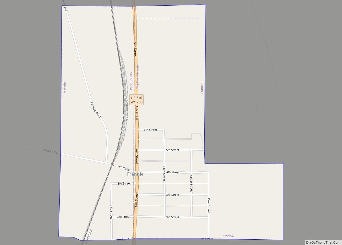
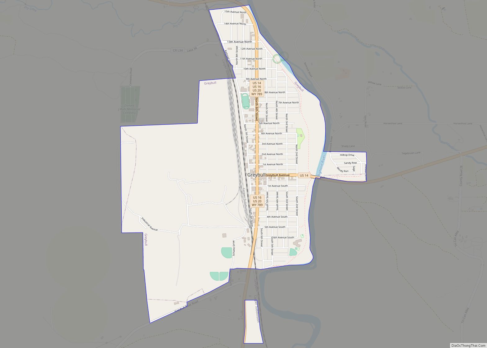
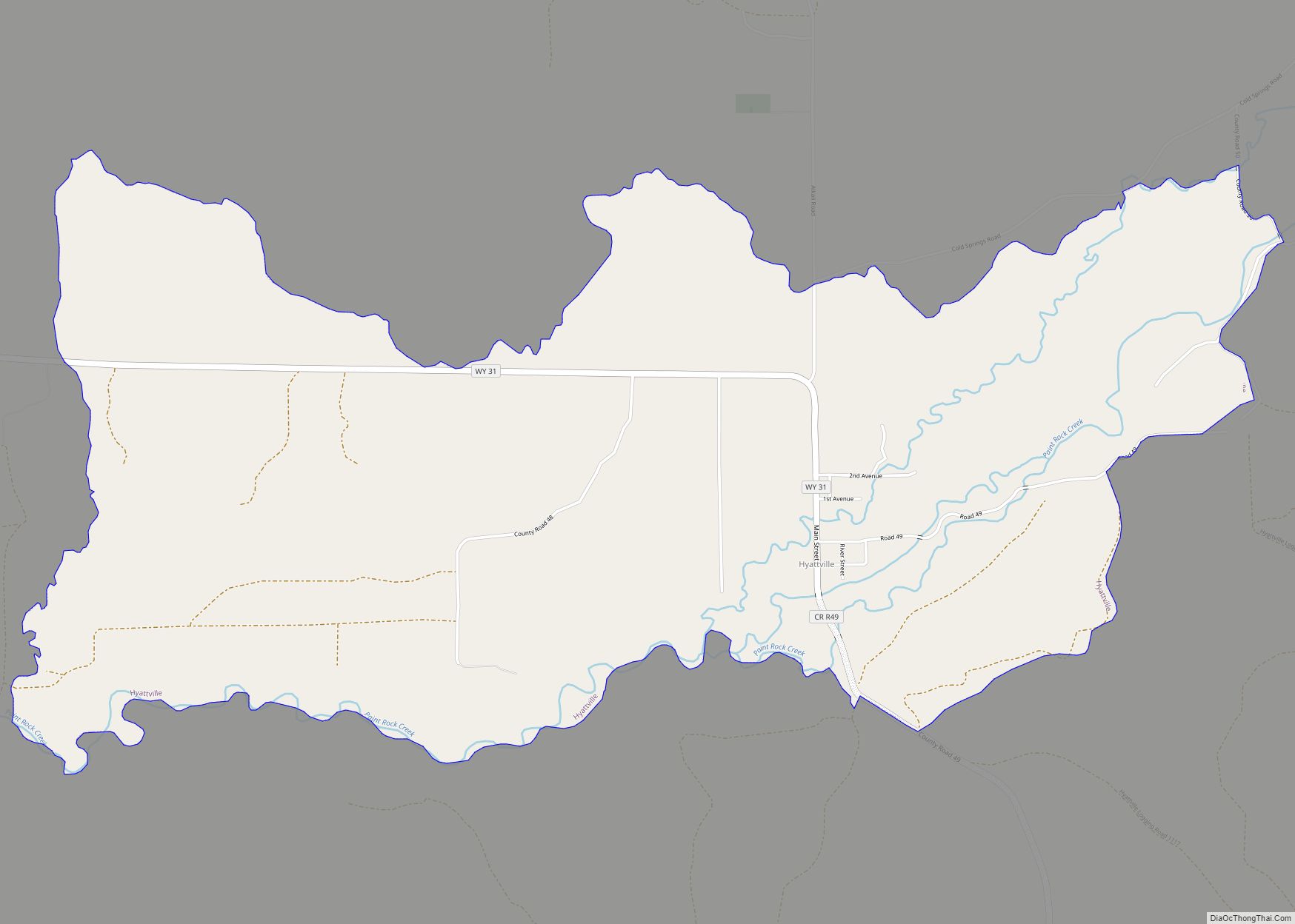
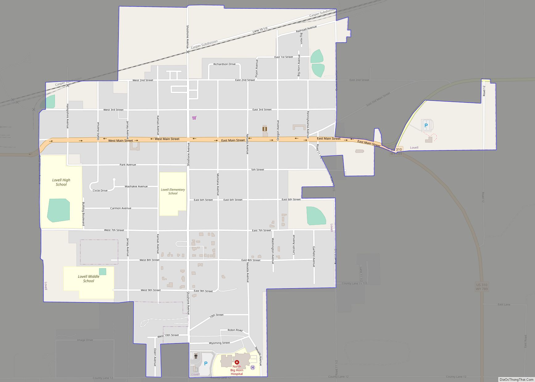
Online Interactive Map
Click on ![]() to view map in "full screen" mode.
to view map in "full screen" mode.
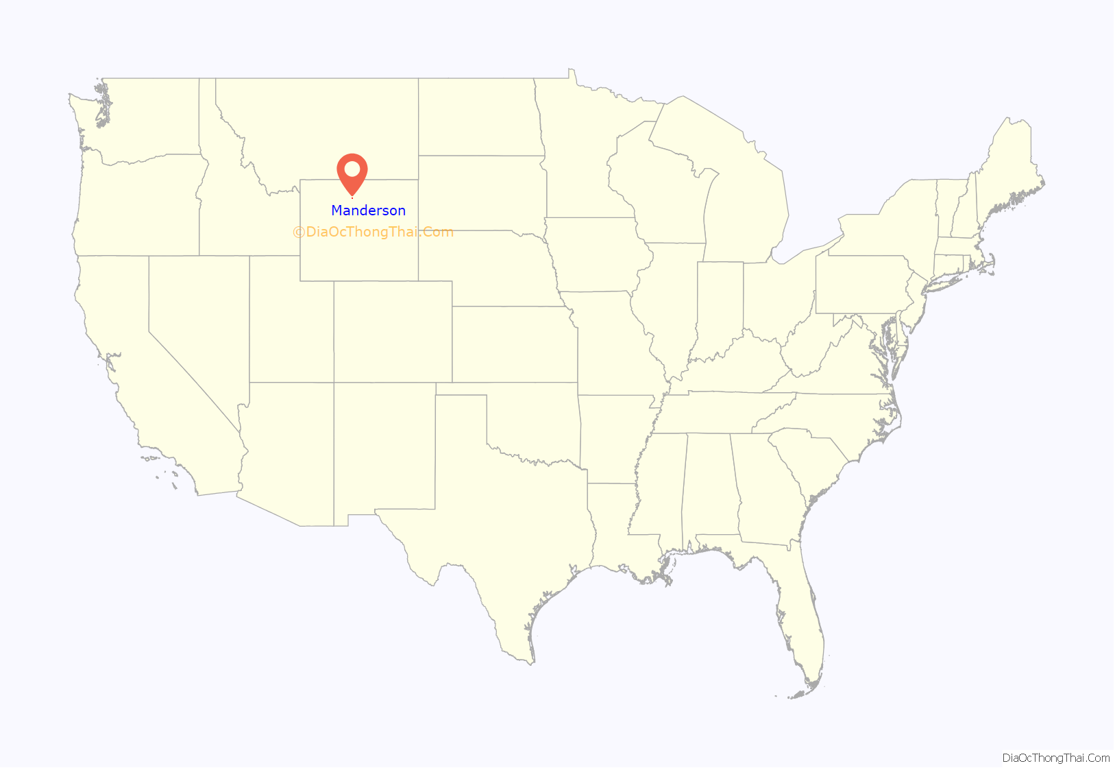
Manderson location map. Where is Manderson town?
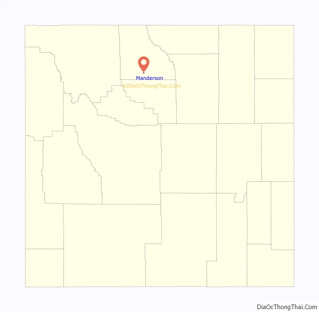
Manderson Road Map
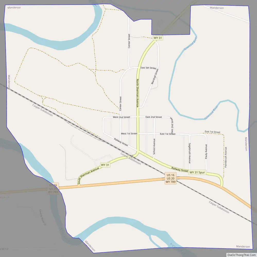
Manderson city Satellite Map

Geography
According to the United States Census Bureau, the town has a total area of 0.90 square miles (2.33 km), of which 0.85 square miles (2.20 km) is land and 0.05 square miles (0.13 km) is water.
See also
Map of Wyoming State and its subdivision: Map of other states:- Alabama
- Alaska
- Arizona
- Arkansas
- California
- Colorado
- Connecticut
- Delaware
- District of Columbia
- Florida
- Georgia
- Hawaii
- Idaho
- Illinois
- Indiana
- Iowa
- Kansas
- Kentucky
- Louisiana
- Maine
- Maryland
- Massachusetts
- Michigan
- Minnesota
- Mississippi
- Missouri
- Montana
- Nebraska
- Nevada
- New Hampshire
- New Jersey
- New Mexico
- New York
- North Carolina
- North Dakota
- Ohio
- Oklahoma
- Oregon
- Pennsylvania
- Rhode Island
- South Carolina
- South Dakota
- Tennessee
- Texas
- Utah
- Vermont
- Virginia
- Washington
- West Virginia
- Wisconsin
- Wyoming