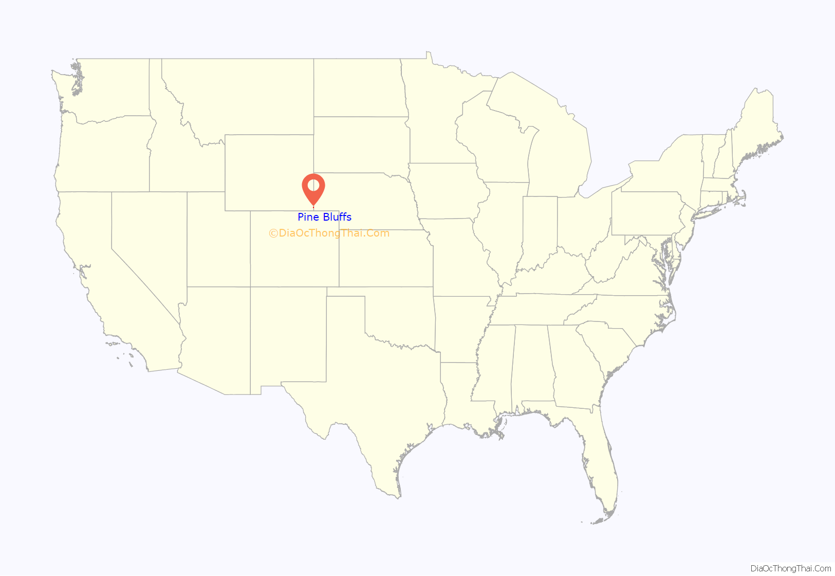
Pine Bluffs is a town in eastern Laramie County, Wyoming, United States. It is located on the county’s border with Nebraska. Pine Bluffs is part of the Cheyenne, Wyoming, Metropolitan Statistical Area. The population was 1,129 at the 2010 census. It was first known as Rock Ranch, but the name was changed by railroad officials for the pines on the nearby bluffs.
| Name: | Pine Bluffs town |
|---|---|
| LSAD Code: | 43 |
| LSAD Description: | town (suffix) |
| State: | Wyoming |
| County: | Laramie County |
| Elevation: | 5,049 ft (1,539 m) |
| Total Area: | 3.22 sq mi (8.35 km²) |
| Land Area: | 3.22 sq mi (8.35 km²) |
| Water Area: | 0.00 sq mi (0.00 km²) |
| Total Population: | 1,129 |
| Population Density: | 359.49/sq mi (138.79/km²) |
| ZIP code: | 82082 |
| Area code: | 307 |
| FIPS code: | 5661435 |
| GNISfeature ID: | 1609139 |
| Website: | pinebluffswy.gov |
Online Interactive Map
Click on ![]() to view map in "full screen" mode.
to view map in "full screen" mode.
Pine Bluffs location map. Where is Pine Bluffs town?
History
The first gas station in Pine Bluffs was built by politician William Henry Harrison and A. E. Carlstrum. On October 17, 1956, the Wyoming Public Service Commission authorized William Henry Harrison III to build and operate a community television system in the town.
In July 2016, Pine Bluffs was battered by a severe hailstorm, causing widespread damage. The Wyoming National Guard was called in to deal with the damage.
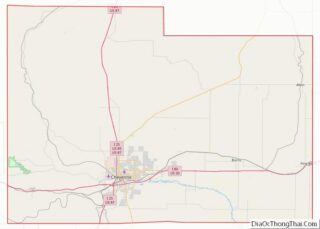
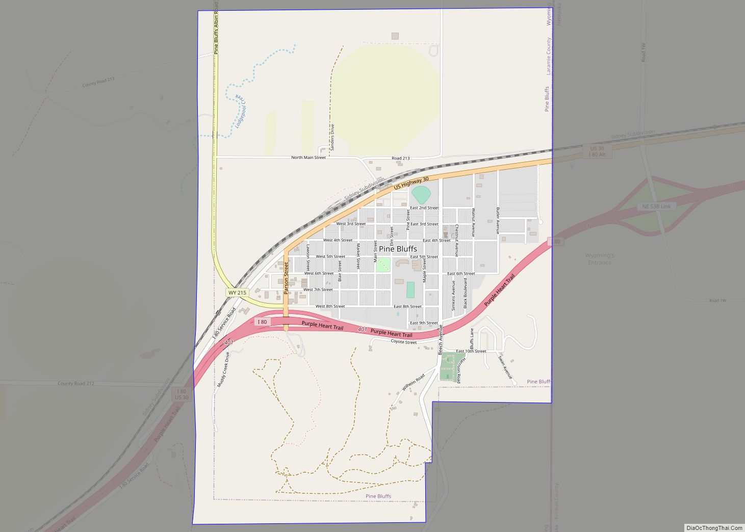
Pine Bluffs Road Map
Pine Bluffs city Satellite Map
Geography
According to the United States Census Bureau, the town has a total area of 3.22 square miles (8.34 km), all land.
Pine Bluffs experiences a semi-arid climate (Köppen climate classification BSk).
See also
Map of Wyoming State and its subdivision: Map of other states:- Alabama
- Alaska
- Arizona
- Arkansas
- California
- Colorado
- Connecticut
- Delaware
- District of Columbia
- Florida
- Georgia
- Hawaii
- Idaho
- Illinois
- Indiana
- Iowa
- Kansas
- Kentucky
- Louisiana
- Maine
- Maryland
- Massachusetts
- Michigan
- Minnesota
- Mississippi
- Missouri
- Montana
- Nebraska
- Nevada
- New Hampshire
- New Jersey
- New Mexico
- New York
- North Carolina
- North Dakota
- Ohio
- Oklahoma
- Oregon
- Pennsylvania
- Rhode Island
- South Carolina
- South Dakota
- Tennessee
- Texas
- Utah
- Vermont
- Virginia
- Washington
- West Virginia
- Wisconsin
- Wyoming
