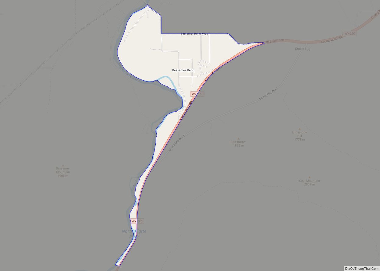
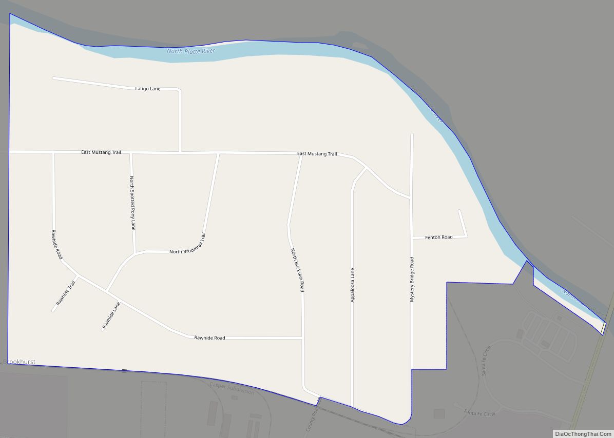
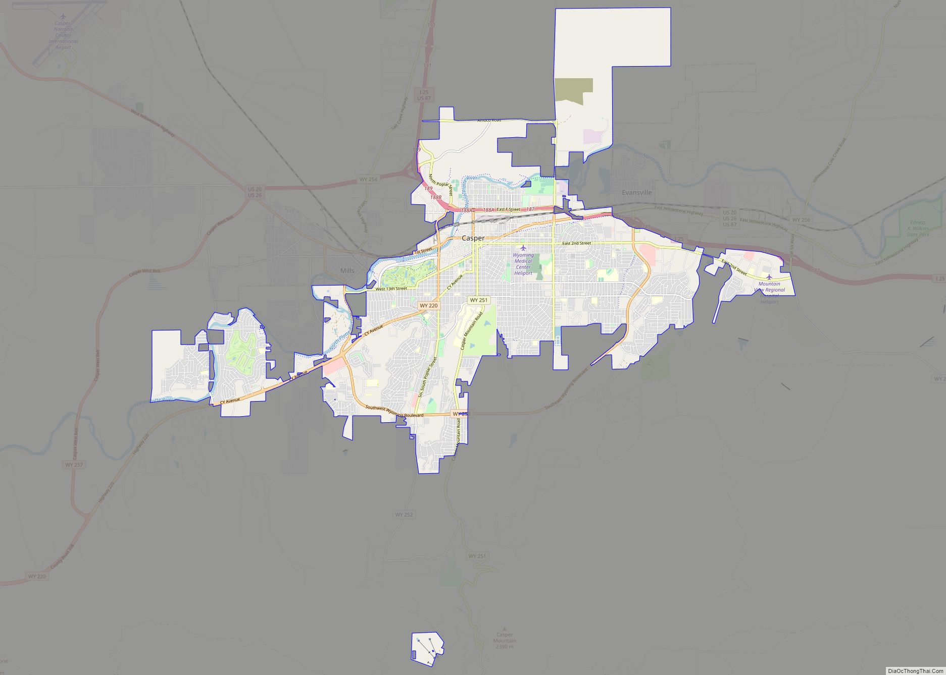
Powder River is a census-designated place (CDP) in Natrona County, Wyoming, United States. It is part of the Casper, Wyoming Metropolitan Statistical Area. The population was 30 in the 2020 census and 44 in the 2010 census.
| Name: | Powder River CDP |
|---|---|
| LSAD Code: | 57 |
| LSAD Description: | CDP (suffix) |
| State: | Wyoming |
| County: | Natrona County |
| Elevation: | 5,719 ft (1,743 m) |
| Total Area: | 6.0 sq mi (15.4 km²) |
| Land Area: | 5.9 sq mi (15.3 km²) |
| Water Area: | 0.0 sq mi (0.1 km²) |
| Total Population: | 30 |
| Population Density: | 5.0/sq mi (1.9/km²) |
| ZIP code: | 82648 |
| Area code: | 307 |
| FIPS code: | 5662305 |
| GNISfeature ID: | 1593001 |
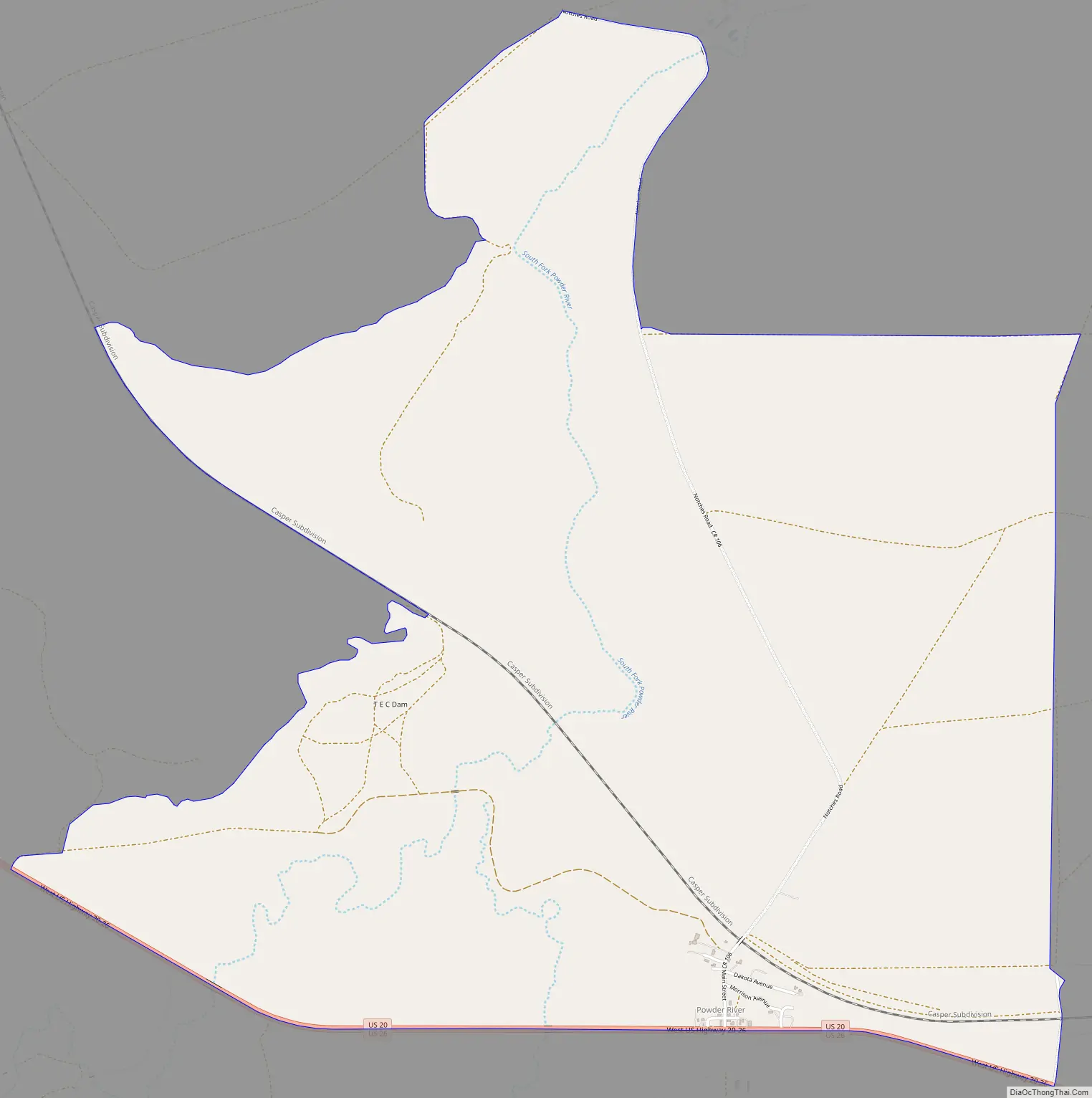
Online Interactive Map
Click on ![]() to view map in "full screen" mode.
to view map in "full screen" mode.
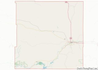
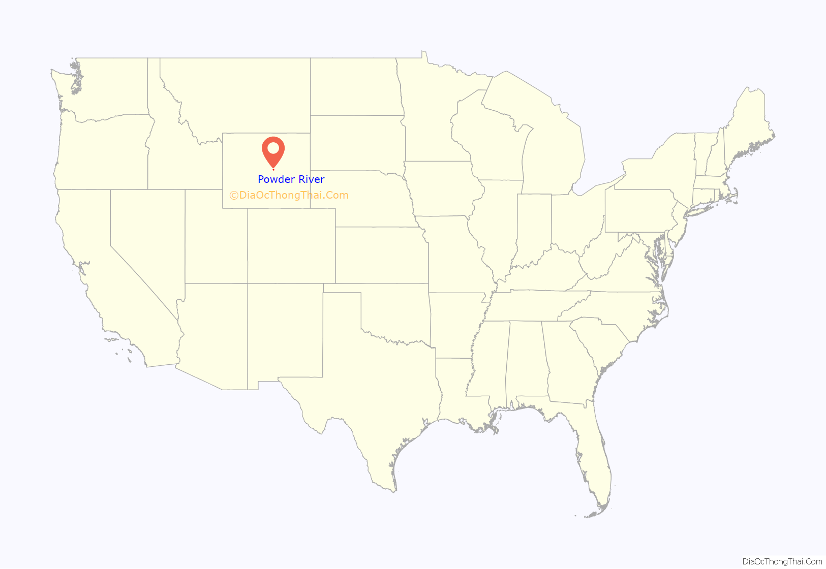
Powder River location map. Where is Powder River CDP?

History
A post office called Powder River has been in operation since 1904. The community was named after the Powder River. A Chicago and Northwestern Railroad Depot built in 1910 still stands and was listed on the National Register of Historic Places in 1988.
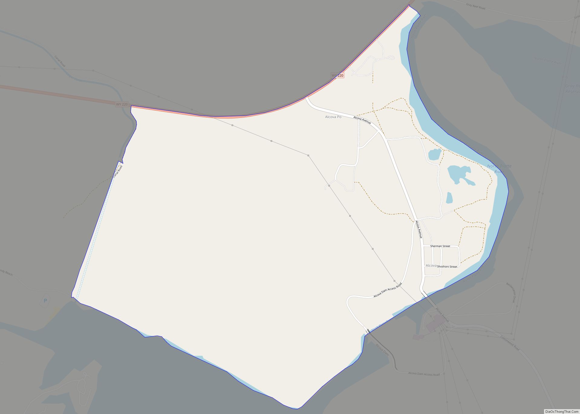
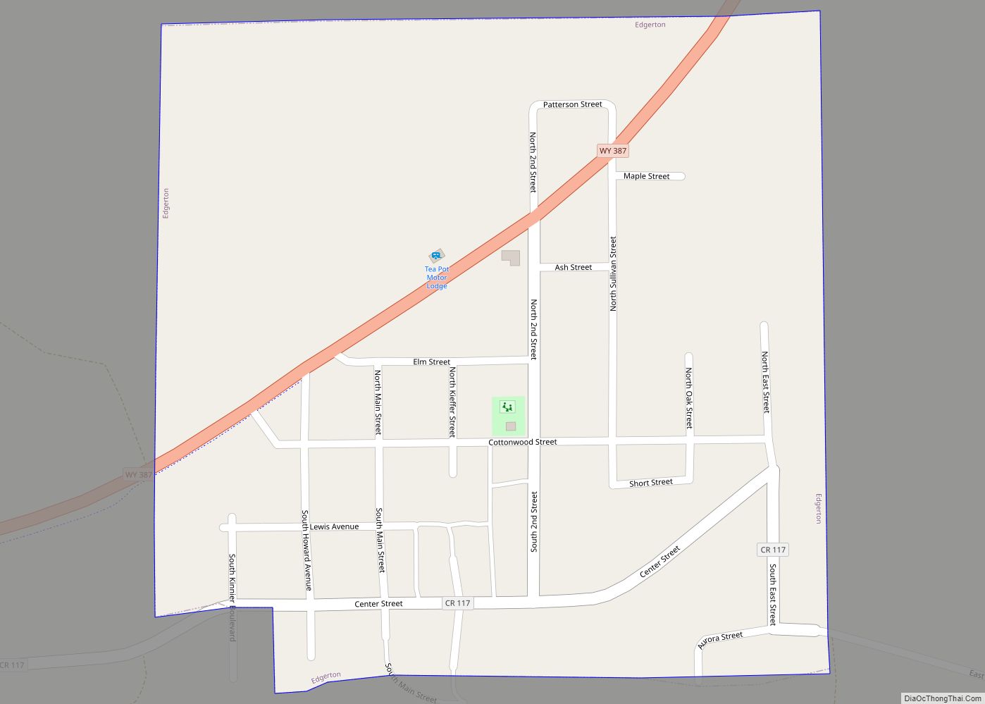
Powder River Road Map
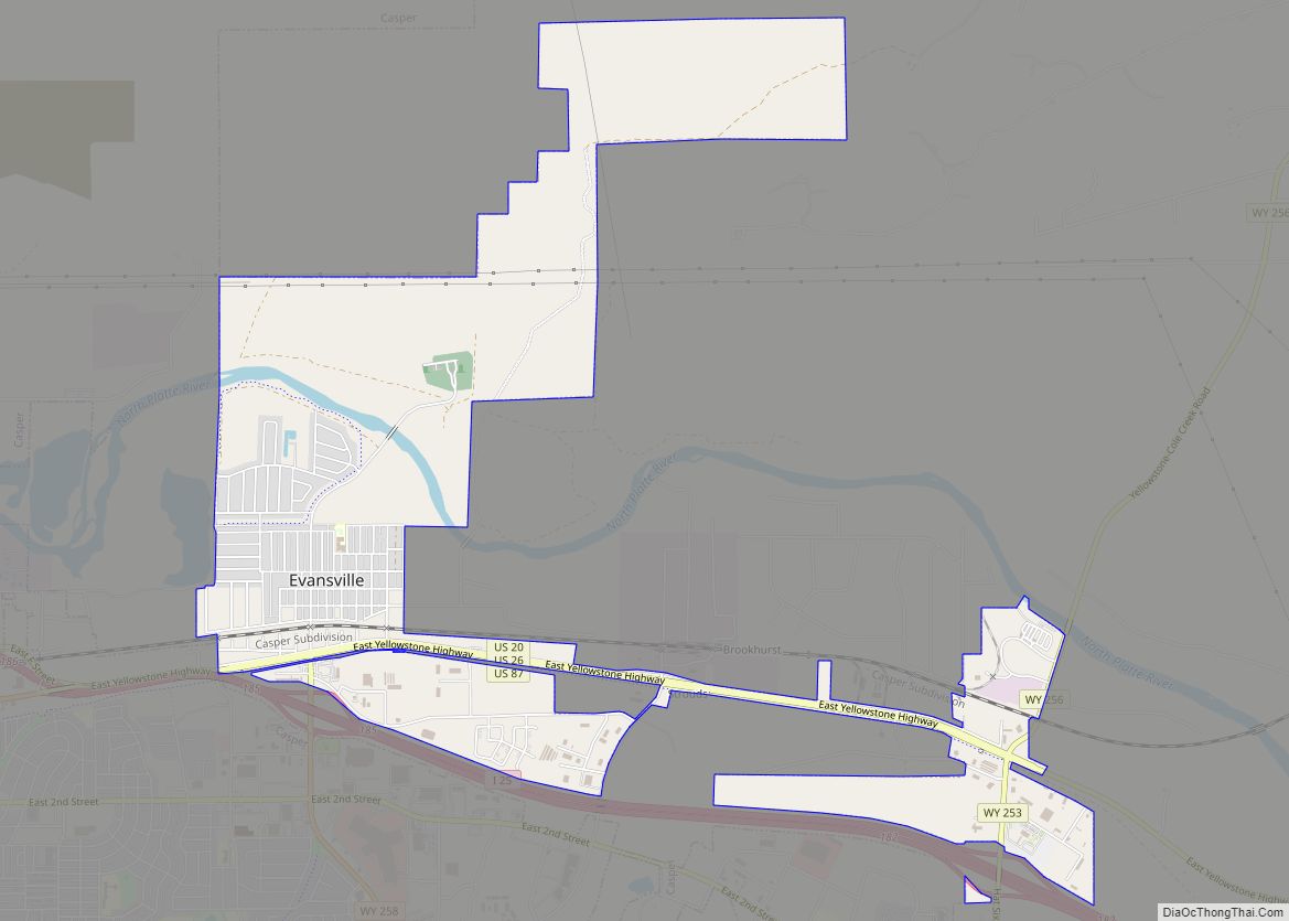
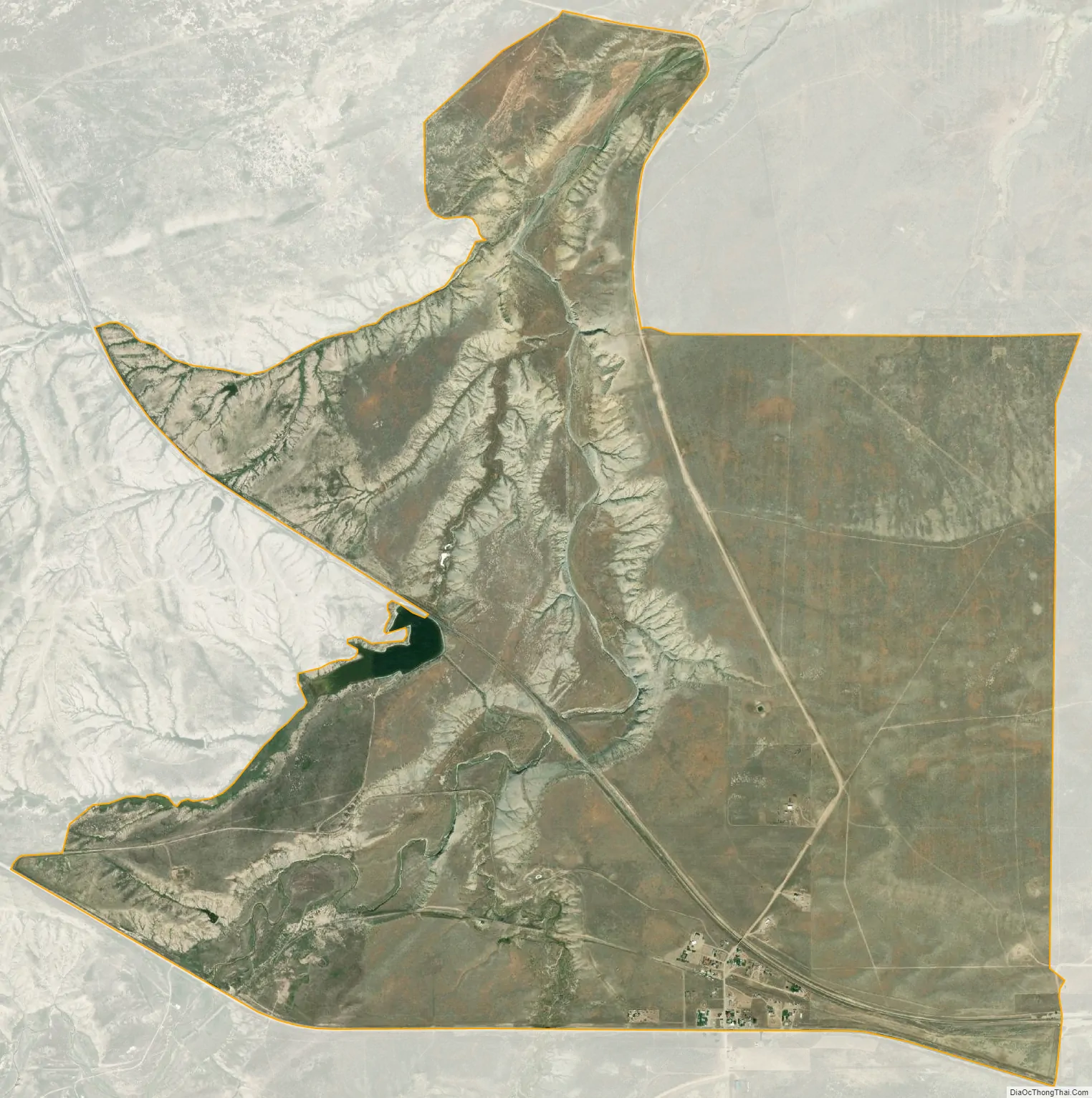
Powder River city Satellite Map
Geography
According to the United States Census Bureau, the CDP has a total area of 6.0 square miles (15.4 km), of which 5.9 square miles (15.3 km) is land and 0.1 square mile (0.1 km) (0.84%) is water.
See also
Map of Wyoming State and its subdivision: Map of other states:- Alabama
- Alaska
- Arizona
- Arkansas
- California
- Colorado
- Connecticut
- Delaware
- District of Columbia
- Florida
- Georgia
- Hawaii
- Idaho
- Illinois
- Indiana
- Iowa
- Kansas
- Kentucky
- Louisiana
- Maine
- Maryland
- Massachusetts
- Michigan
- Minnesota
- Mississippi
- Missouri
- Montana
- Nebraska
- Nevada
- New Hampshire
- New Jersey
- New Mexico
- New York
- North Carolina
- North Dakota
- Ohio
- Oklahoma
- Oregon
- Pennsylvania
- Rhode Island
- South Carolina
- South Dakota
- Tennessee
- Texas
- Utah
- Vermont
- Virginia
- Washington
- West Virginia
- Wisconsin
- Wyoming