Saratoga is a town in Carbon County, Wyoming, United States. The population was 1,690 at the 2010 census.
Saratoga is the home of the Steinley Cup microbrew festival and competition, usually held in August at Veterans Island Park, a playground and picnic facility on a small island in the North Platte River, which is designated a Blue Ribbon Stream by the Wyoming Game and Fish. Saratoga also has a public pool heated by a hot spring. Its two largest employers are the United States Forest Service and Carbon County School District No. 2, both public sector employers. The town’s motto is “Where The Trout Leap In Main Street.” The local newspaper is the Saratoga Sun.
| Name: | Saratoga town |
|---|---|
| LSAD Code: | 43 |
| LSAD Description: | town (suffix) |
| State: | Wyoming |
| County: | Carbon County |
| Elevation: | 6,791 ft (2,070 m) |
| Total Area: | 3.59 sq mi (9.29 km²) |
| Land Area: | 3.40 sq mi (8.80 km²) |
| Water Area: | 0.19 sq mi (0.49 km²) |
| Total Population: | 1,690 |
| Population Density: | 475.28/sq mi (183.49/km²) |
| ZIP code: | 82331 |
| Area code: | 307 |
| FIPS code: | 5668685 |
| GNISfeature ID: | 1609150 |
| Website: | http://www.saratoga.govoffice2.com/ |
Online Interactive Map
Click on ![]() to view map in "full screen" mode.
to view map in "full screen" mode.
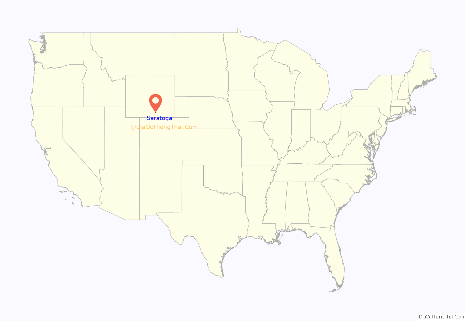
Saratoga location map. Where is Saratoga town?
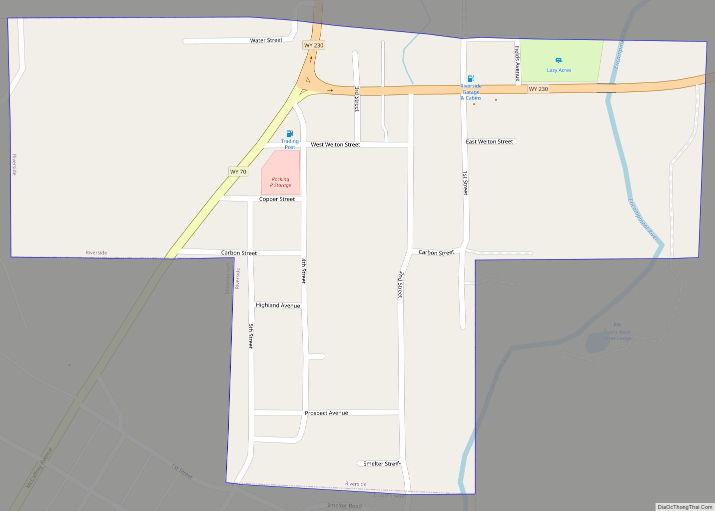
Saratoga Road Map
Saratoga city Satellite Map
Geography
Saratoga is located at 41°27′16″N 106°48′30″W / 41.45444°N 106.80833°W / 41.45444; -106.80833 (41.454474, –106.808413).
According to the United States Census Bureau, the town has a total area of 3.59 square miles (9.30 km), of which 3.40 square miles (8.81 km) is land and 0.19 square miles (0.49 km) is water.
See also
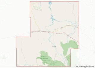
Map of Wyoming State and its subdivision: Map of other states:- Alabama
- Alaska
- Arizona
- Arkansas
- California
- Colorado
- Connecticut
- Delaware
- District of Columbia
- Florida
- Georgia
- Hawaii
- Idaho
- Illinois
- Indiana
- Iowa
- Kansas
- Kentucky
- Louisiana
- Maine
- Maryland
- Massachusetts
- Michigan
- Minnesota
- Mississippi
- Missouri
- Montana
- Nebraska
- Nevada
- New Hampshire
- New Jersey
- New Mexico
- New York
- North Carolina
- North Dakota
- Ohio
- Oklahoma
- Oregon
- Pennsylvania
- Rhode Island
- South Carolina
- South Dakota
- Tennessee
- Texas
- Utah
- Vermont
- Virginia
- Washington
- West Virginia
- Wisconsin
- Wyoming
