Shoshoni is a town in Fremont County, Wyoming, United States. The population was 471 at the 2020 census, down from 649 at the 2010 census. The town is named for the Shoshone Indian tribe, most of whom live on the nearby Wind River Indian Reservation.
| Name: | Shoshoni town |
|---|---|
| LSAD Code: | 43 |
| LSAD Description: | town (suffix) |
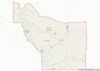
| State: | Wyoming |
| County: | Fremont County |
| Elevation: | 4,843 ft (1,476 m) |
| Total Area: | 3.58 sq mi (9.28 km²) |
| Land Area: | 3.58 sq mi (9.28 km²) |
| Water Area: | 0.00 sq mi (0.00 km²) |
| Total Population: | 471 |
| Population Density: | 130/sq mi (51/km²) |
| ZIP code: | 82649 |
| Area code: | 307 |
| FIPS code: | 5670570 |
| GNISfeature ID: | 1594295 |
| Website: | shoshoniwyoming.org |
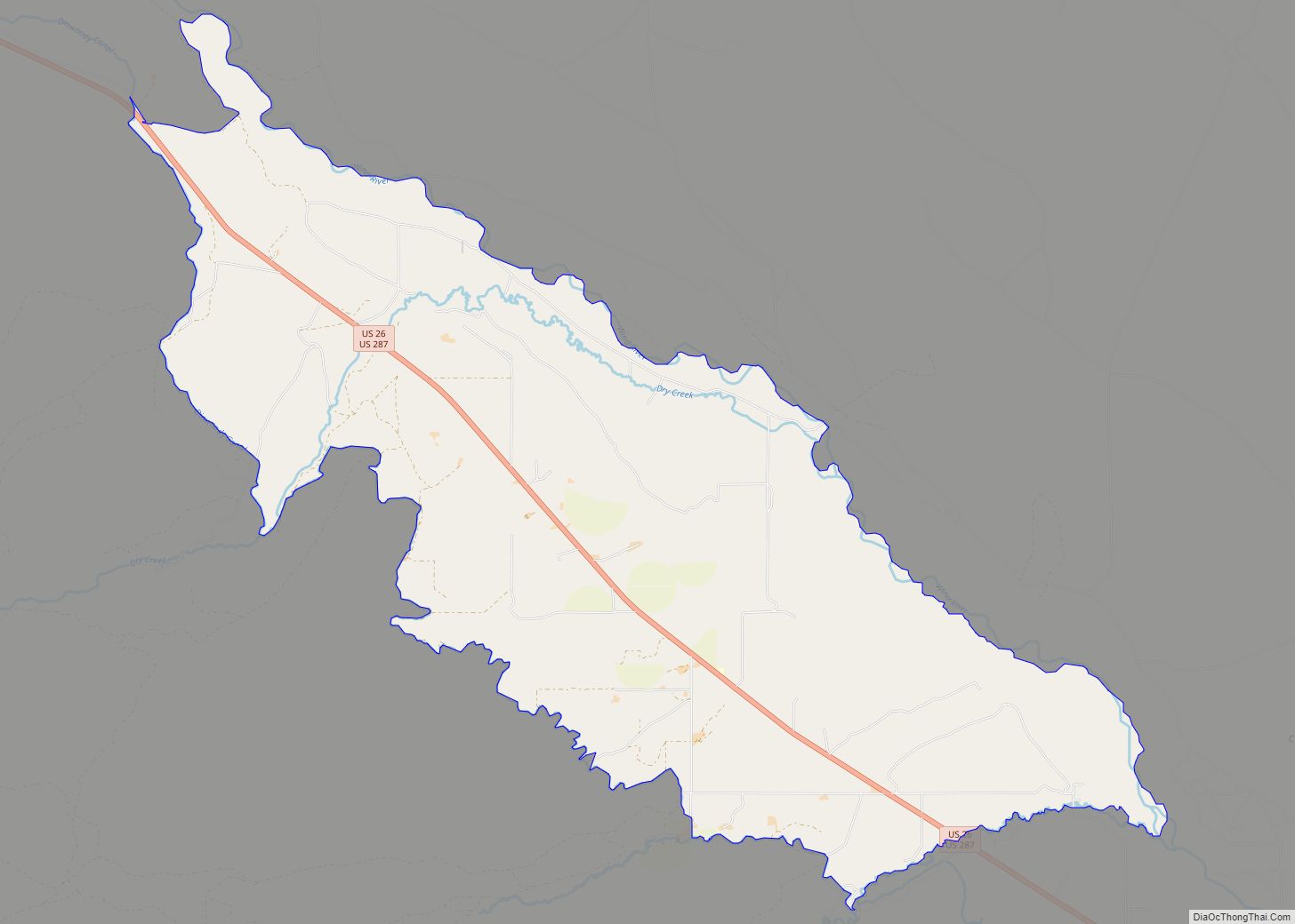
Online Interactive Map
Click on ![]() to view map in "full screen" mode.
to view map in "full screen" mode.
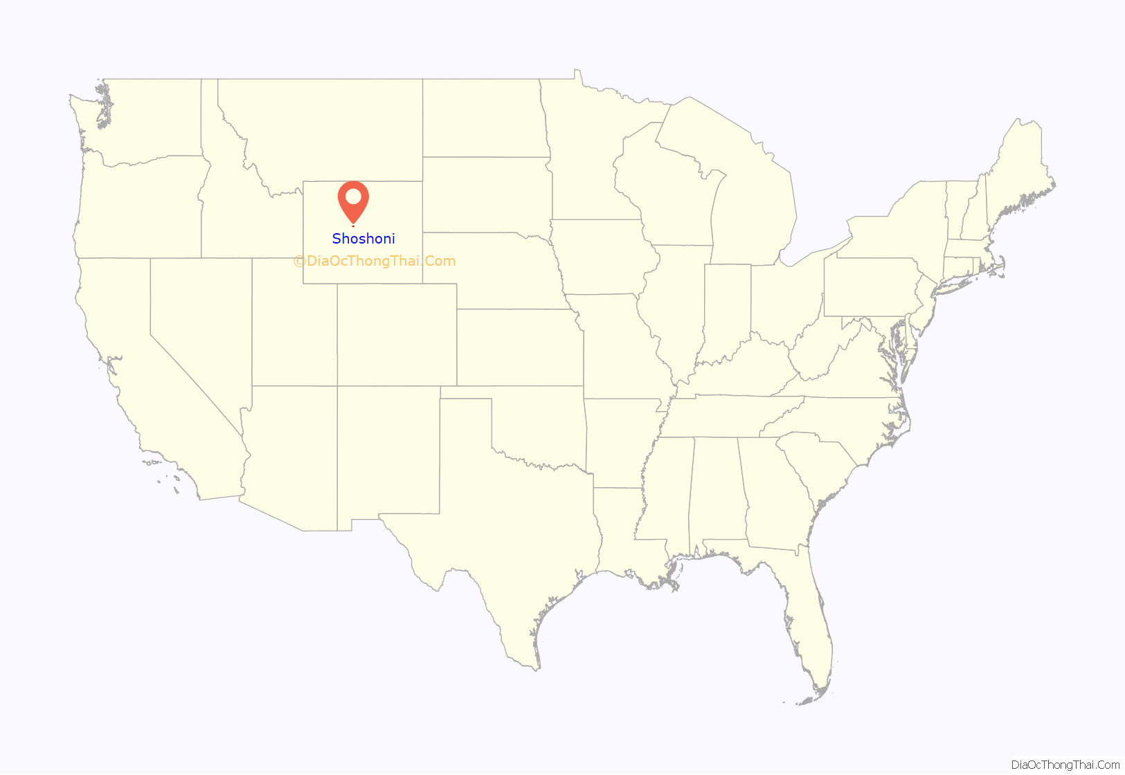
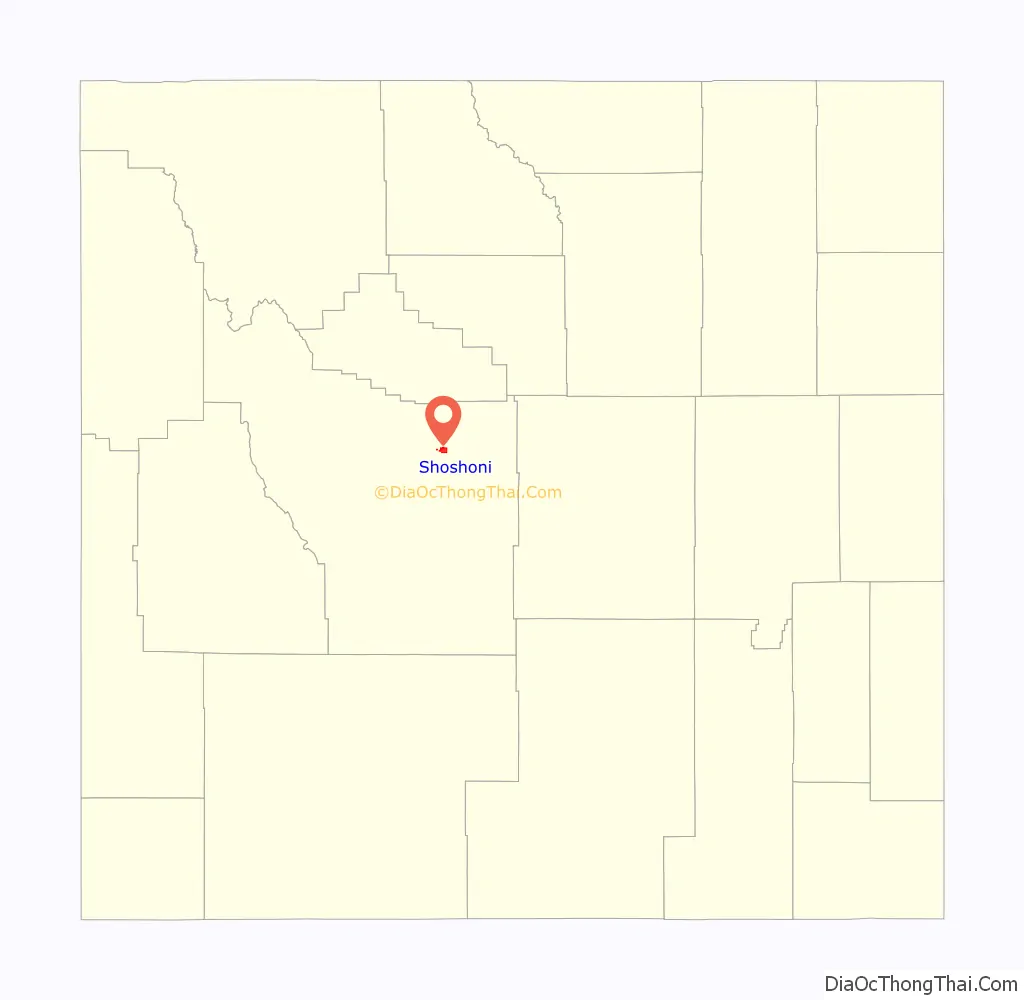
Shoshoni location map. Where is Shoshoni town?
History
Established as a railroad and mining town, Shoshoni lies at the intersection of U.S. Routes 20 and 26, which together were formerly known as the “Yellowstone Highway”. Shoshoni has a dramatic increase in visitors in the summer, when roads to Yellowstone National Park are open. Visitors also stop to camp and fish at nearby Boysen Reservoir and the surrounding Boysen State Park. Anglers participate in fishing derbies at the reservoir, including an ice fishing derby in the winter.
Ranching is, and has been for decades, the major agricultural endeavor in the nearby area.
Charles Henry King, a prominent millionaire businessman and banker later based in Omaha, Nebraska, built the C.H. King Company and First Union Bank Building, formerly occupied by Yellowstone Drug Store. The building is listed on the National Register of Historic Places. King and his wife Martha were the paternal grandparents of President Gerald Ford, who was born in their Omaha house in July 1913.
In 2004 a water-intensive mushroom processing plant began operation on land that was annexed by the town and put within its limits. At first it was staffed by prison labor, who were paid minimum wage, in a prison industries program. When they had trouble with production, the plant hired skilled labor from Guatemala. This labor practice stopped when a Department of Homeland Security investigation revealed that some of the workers had problems with their immigration histories. More recently, the plant has ensured all migrant workers are legal. During operations, the plant’s composting bunkers emitted unpleasant odors, resulting in numerous complaints from residents during 2005. The Wyoming Department of Environmental Quality investigated the situation and air quality issues. The plant installed a stack and ventilating system in early 2006 to control and disperse odor from the composting bunkers. As of early May 2009, the facility was up for sale.
In January, 2020, the Iglesia Ni Cristo, a Philippines-based religious sect, purchased the facility with the intent of using local “honor based” labor to work in the facility.
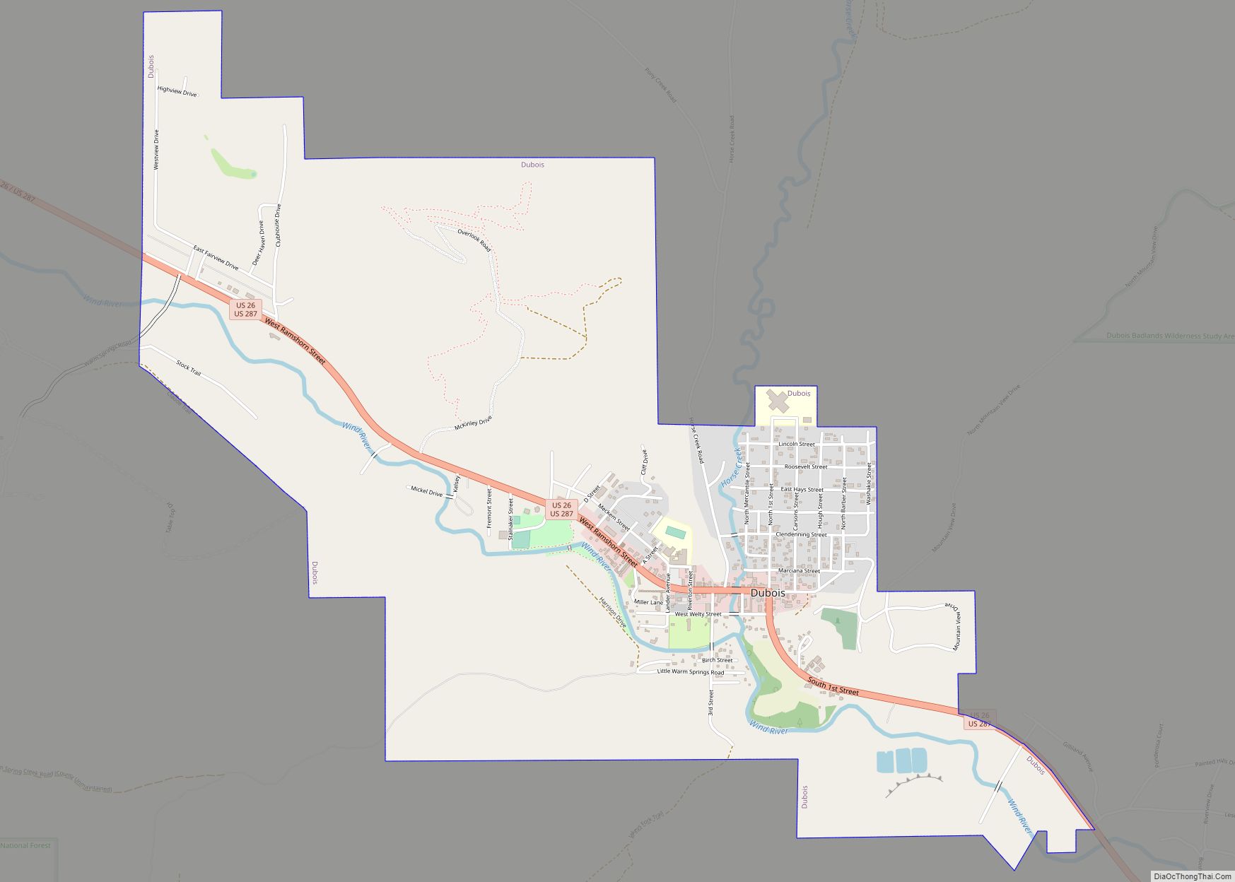
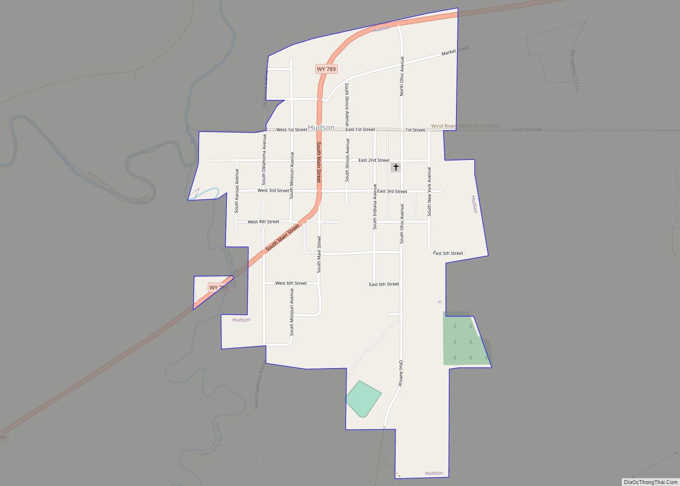
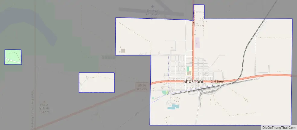
Shoshoni Road Map
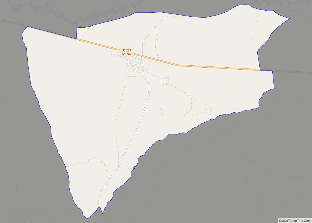
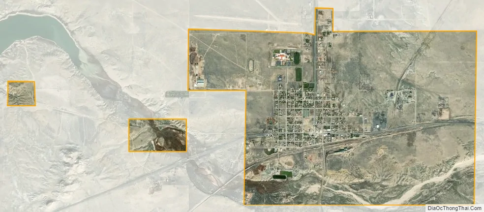
Shoshoni city Satellite Map
Geography
According to the United States Census Bureau, the town has a total area of 3.58 square miles (9.27 km), all land.
Climate
According to the Köppen Climate Classification system, Shoshoni has a cold desert climate, abbreviated “BWk” on climate maps. The hottest temperature recorded in Shoshoni was 106 °F (41 °C) on July 16, 1935 and July 10, 1939, while the coldest temperature recorded was −44 °F (−42 °C) on January 5, 1942.
Shoshoni’s closest body of water is Boysen Reservoir, which is also the confluence of the Wind River, Badwater Creek and Poison Creek. As the water exits the dam it flows into the Wind River Canyon and joins the Big Horn River at the Wedding of the Waters at the canyon egress.
See also
Map of Wyoming State and its subdivision: Map of other states:- Alabama
- Alaska
- Arizona
- Arkansas
- California
- Colorado
- Connecticut
- Delaware
- District of Columbia
- Florida
- Georgia
- Hawaii
- Idaho
- Illinois
- Indiana
- Iowa
- Kansas
- Kentucky
- Louisiana
- Maine
- Maryland
- Massachusetts
- Michigan
- Minnesota
- Mississippi
- Missouri
- Montana
- Nebraska
- Nevada
- New Hampshire
- New Jersey
- New Mexico
- New York
- North Carolina
- North Dakota
- Ohio
- Oklahoma
- Oregon
- Pennsylvania
- Rhode Island
- South Carolina
- South Dakota
- Tennessee
- Texas
- Utah
- Vermont
- Virginia
- Washington
- West Virginia
- Wisconsin
- Wyoming