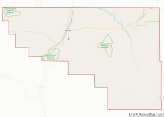
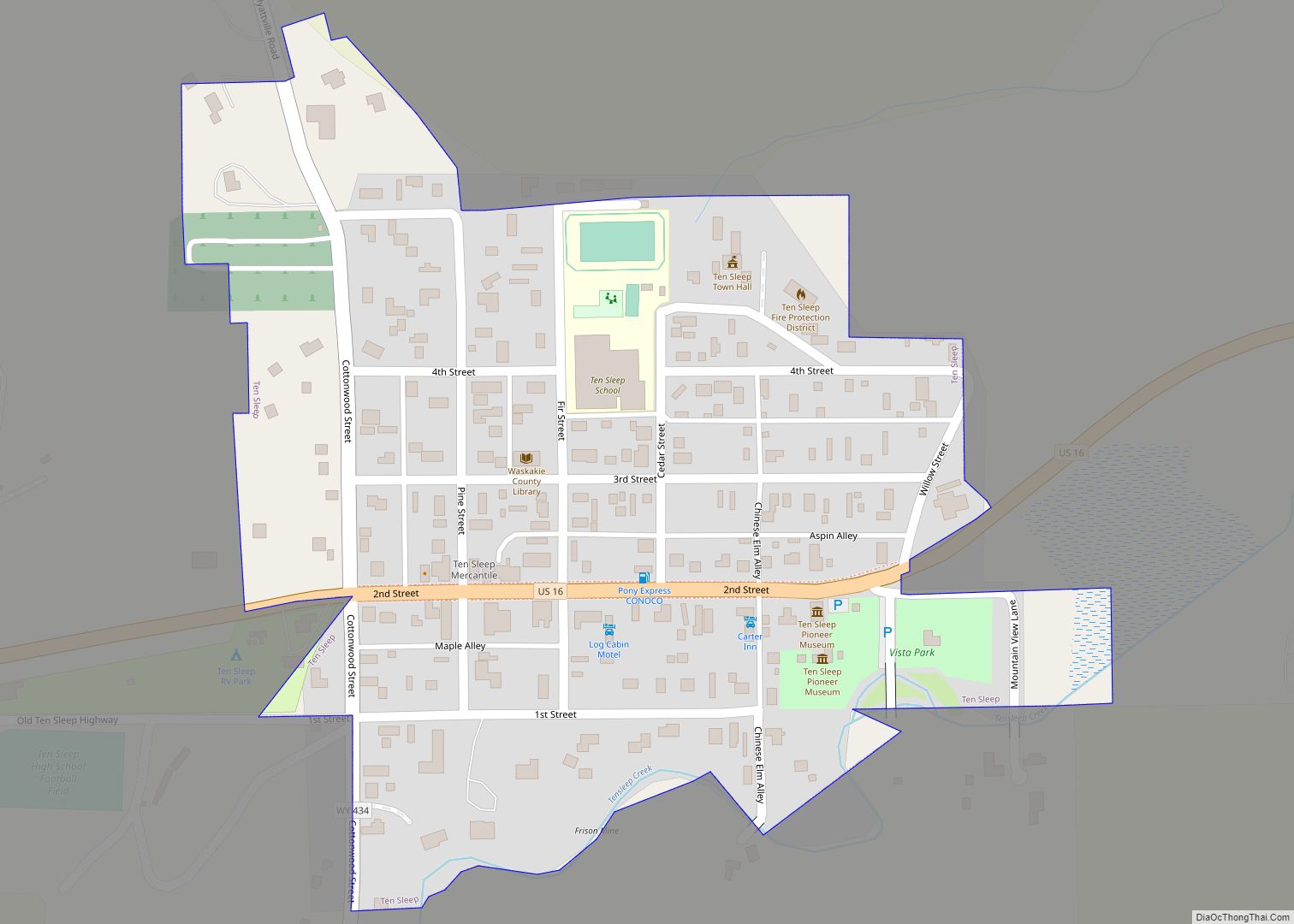
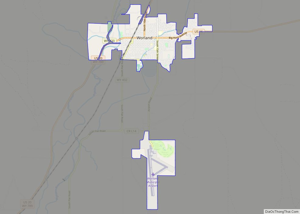
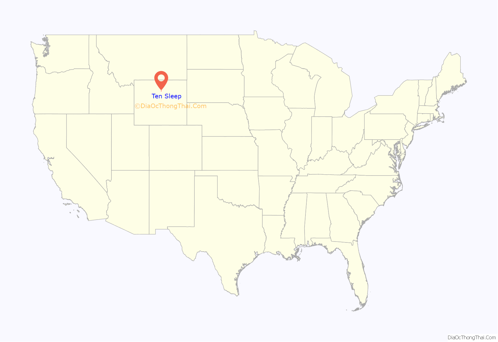
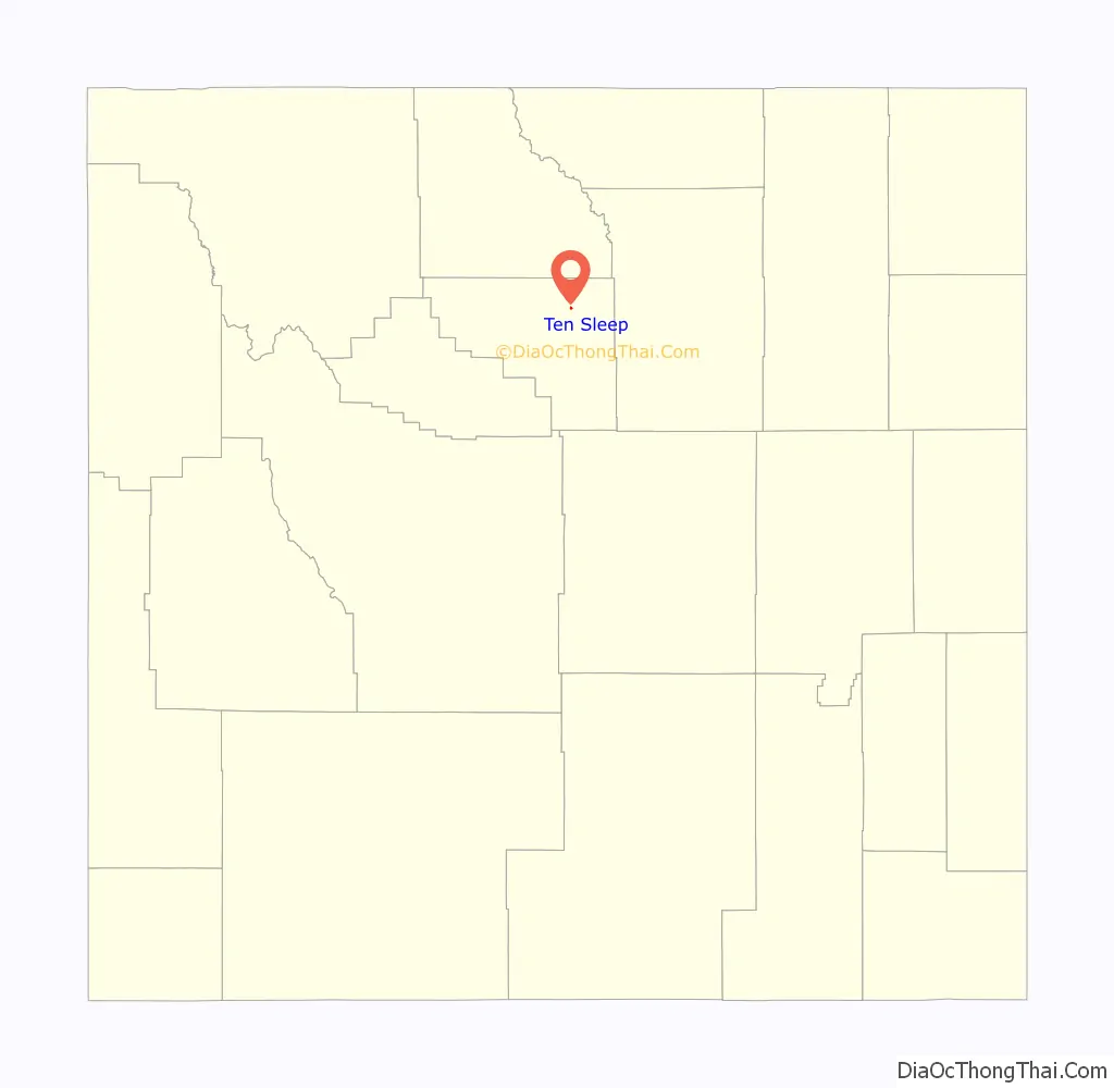
Ten Sleep is a town in Washakie County, Wyoming, United States. It is located in the Bighorn Basin in the western foothills of the Bighorn Mountains, approximately 26 miles (42 km) east of Worland and 59 miles (95 km) west of Buffalo.
The population was 206 at the 2020 census.
| Name: | Ten Sleep town |
|---|---|
| LSAD Code: | 43 |
| LSAD Description: | town (suffix) |
| State: | Wyoming |
| County: | Washakie County |
| Elevation: | 4,426 ft (1,349 m) |
| Total Area: | 0.18 sq mi (0.47 km²) |
| Land Area: | 0.18 sq mi (0.47 km²) |
| Water Area: | 0.00 sq mi (0.00 km²) |
| Total Population: | 260 |
| Population Density: | 1,366.12/sq mi (528.00/km²) |
| ZIP code: | 82442 |
| Area code: | 307 |
| FIPS code: | 5675790 |
| GNISfeature ID: | 1595354 |
| Website: | http://www.townoftensleep.com/ |
Online Interactive Map
Click on ![]() to view map in "full screen" mode.
to view map in "full screen" mode.
Ten Sleep location map. Where is Ten Sleep town?
History
Ten Sleep was an American Indian rest stop, so called because it was 10 days’ travel, or “10 sleeps,” from Fort Laramie (southeast), Yellowstone National Park (west-northwest), and the Indian Agency on the Stillwater River in Montana (northwest). There are numerous archeological sites throughout the area, with frequent discoveries of artifacts such as arrowheads, pictographs and petroglyphs.
Ten Sleep was also the site of the Spring Creek Raid, one of the last feuds of the West’s Sheep and Cattlemen’s War. It was there in March, 1909 that cattlemen attacked sheep herders and their flock, killing three men and shooting hundreds of the sheep. Caught and convicted, this was the end of major conflict, although it was many years before the two livestock growers’ groups resolved their differences.
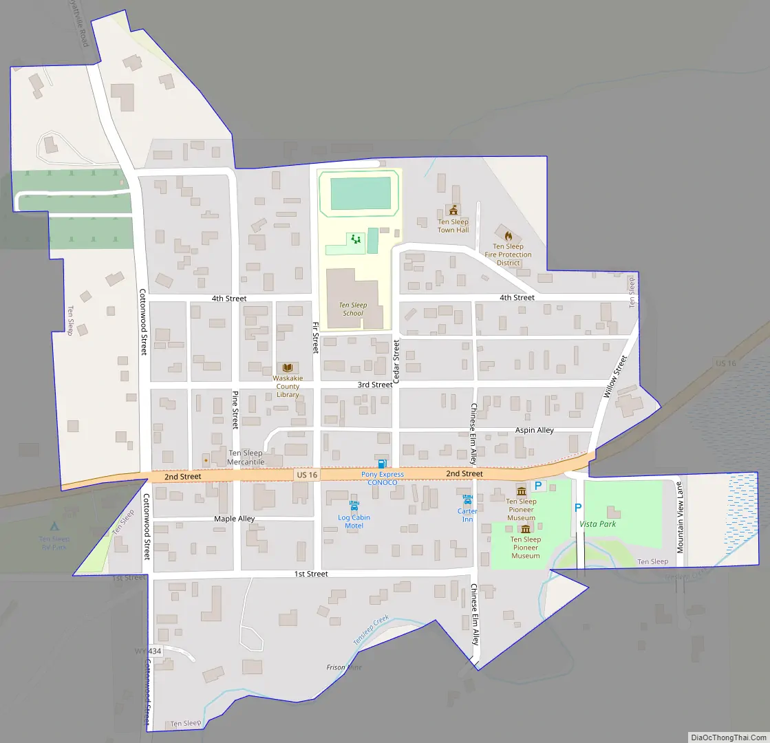
Ten Sleep Road Map
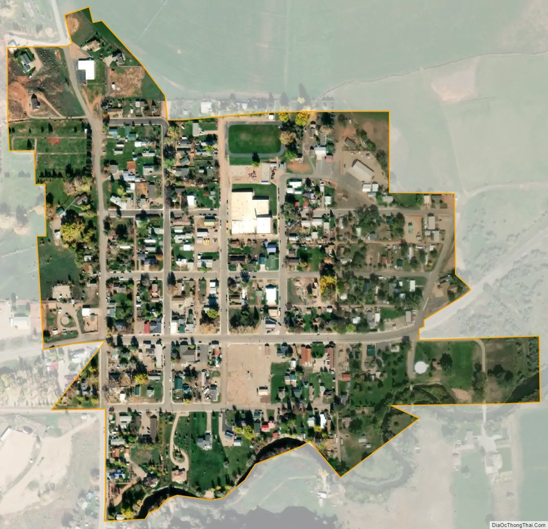
Ten Sleep city Satellite Map
Geography
Ten Sleep is located at 44°2′5″N 107°26′53″W / 44.03472°N 107.44806°W / 44.03472; -107.44806 (44.034724, –107.448023).
According to the United States Census Bureau, the town has a total area of 0.18 square miles (0.47 km), all land.
Climate
According to the Köppen Climate Classification system, Ten Sleep has a hot-summer humid continental climate, abbreviated “Dfa” on climate maps. The hottest temperature recorded in Ten Sleep was 105 °F (41 °C) on July 13, 2005, while the coldest temperature recorded was −34 °F (−37 °C) on December 22, 1990.
See also
Map of Wyoming State and its subdivision: Map of other states:- Alabama
- Alaska
- Arizona
- Arkansas
- California
- Colorado
- Connecticut
- Delaware
- District of Columbia
- Florida
- Georgia
- Hawaii
- Idaho
- Illinois
- Indiana
- Iowa
- Kansas
- Kentucky
- Louisiana
- Maine
- Maryland
- Massachusetts
- Michigan
- Minnesota
- Mississippi
- Missouri
- Montana
- Nebraska
- Nevada
- New Hampshire
- New Jersey
- New Mexico
- New York
- North Carolina
- North Dakota
- Ohio
- Oklahoma
- Oregon
- Pennsylvania
- Rhode Island
- South Carolina
- South Dakota
- Tennessee
- Texas
- Utah
- Vermont
- Virginia
- Washington
- West Virginia
- Wisconsin
- Wyoming