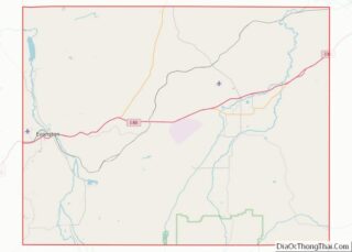
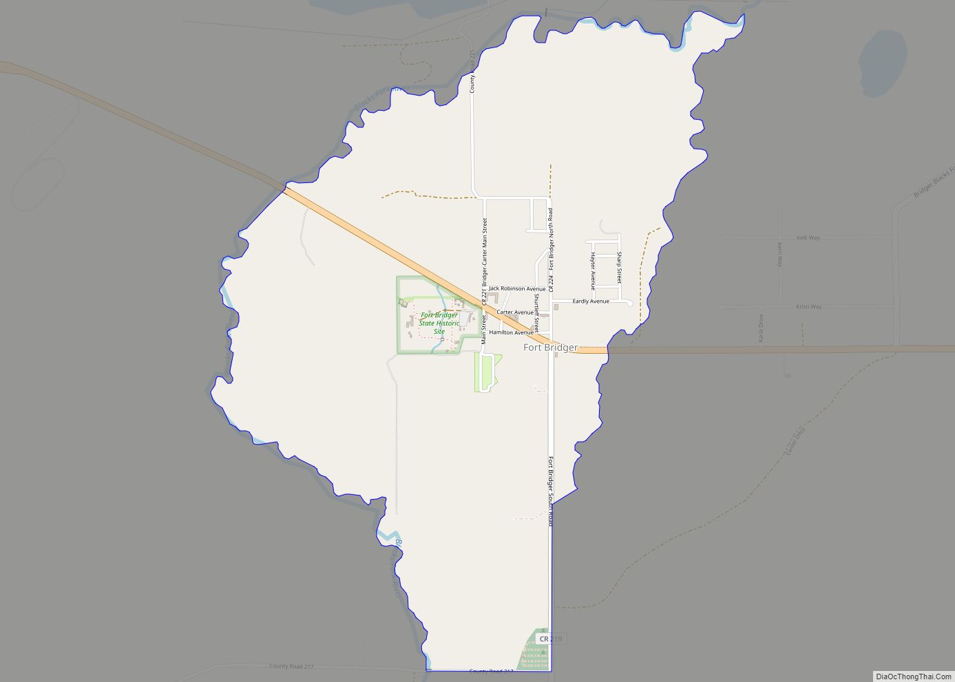
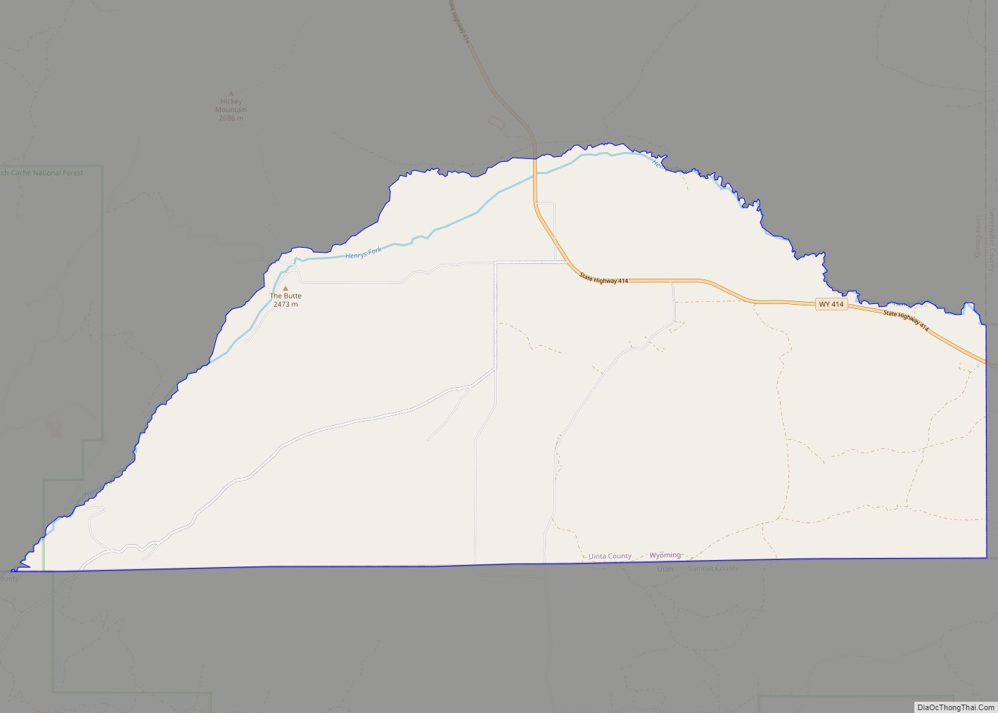
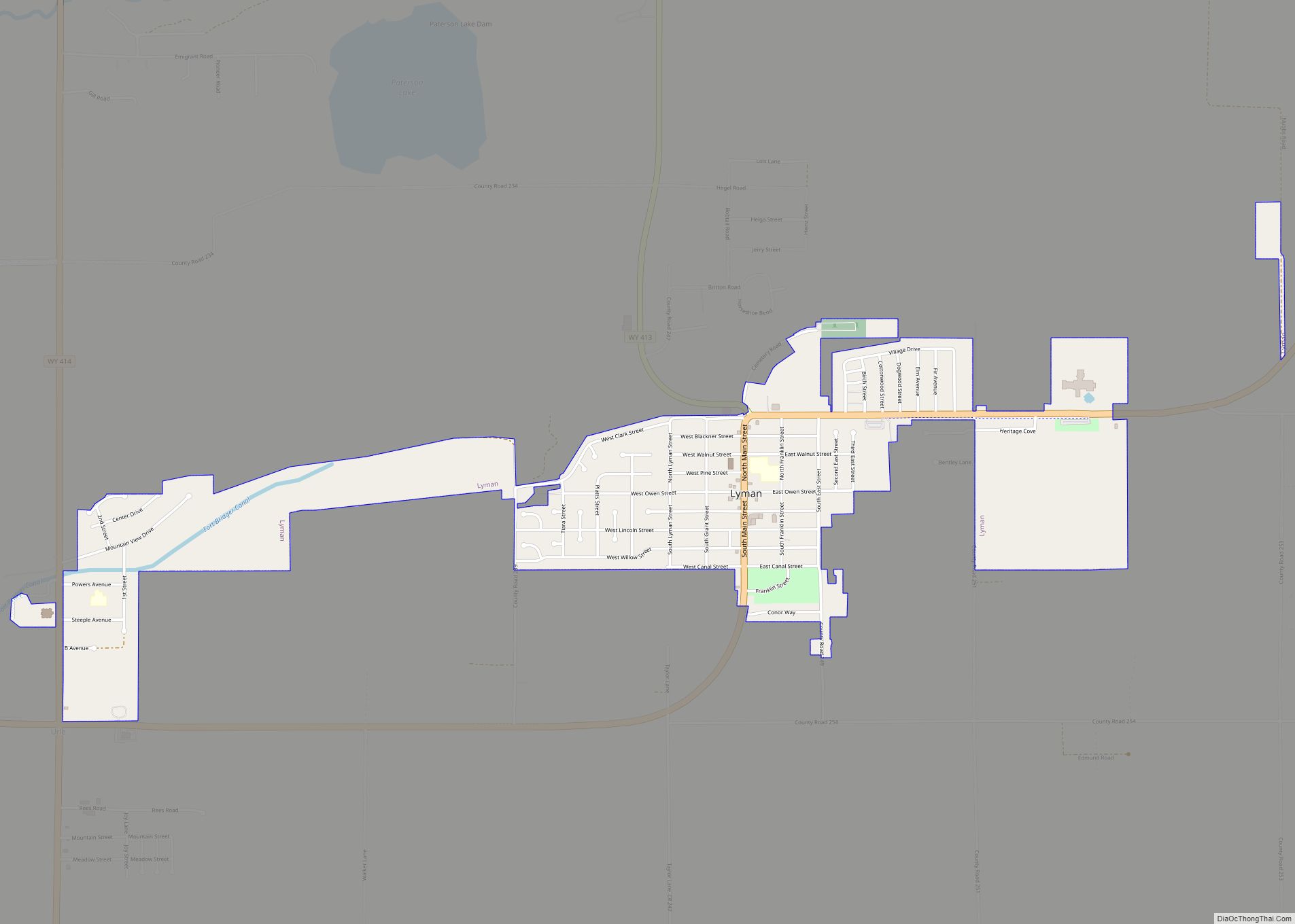
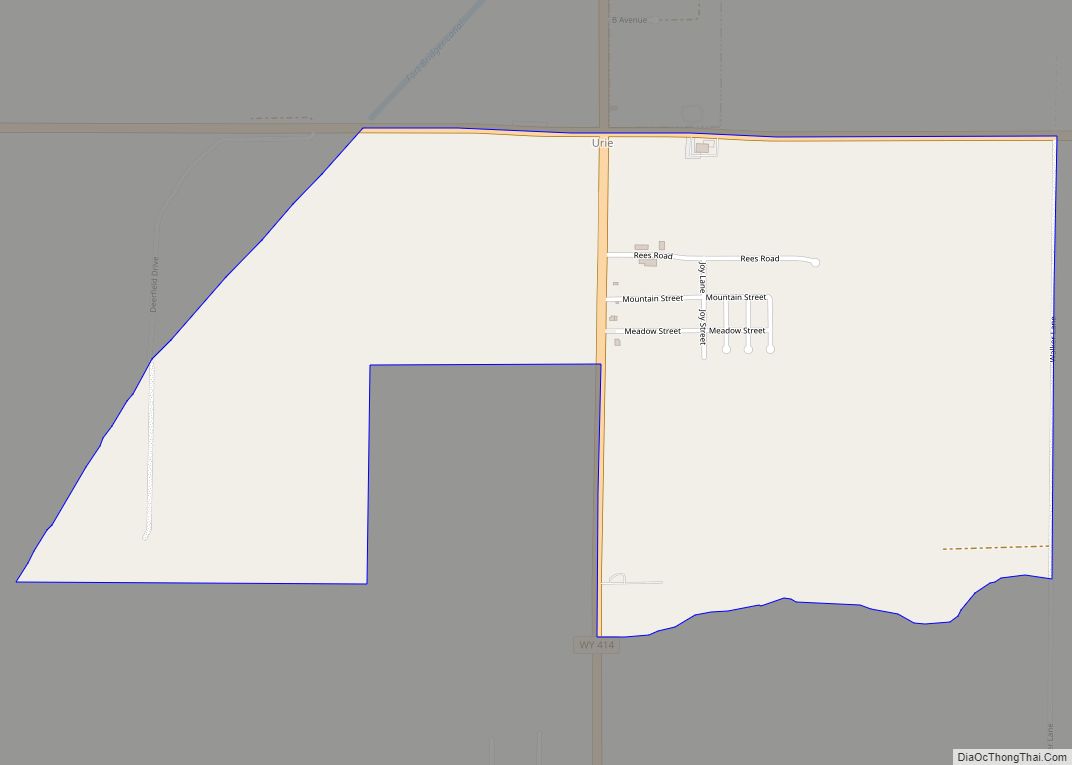
Urie is a census-designated place in Uinta County, Wyoming, United States. The population was 262 at the 2010 census. The main roads that run through the community are Interstate 80 Business Loop and Wyoming Highway 414.
| Name: | Urie CDP |
|---|---|
| LSAD Code: | 57 |
| LSAD Description: | CDP (suffix) |
| State: | Wyoming |
| County: | Uinta County |
| Elevation: | 6,785 ft (2,068 m) |
| Total Area: | 262 |
| ZIP code: | 82937 |
| Area code: | 307 |
| FIPS code: | 5679270 |
| GNISfeature ID: | 1595889 |
Online Interactive Map
Click on ![]() to view map in "full screen" mode.
to view map in "full screen" mode.
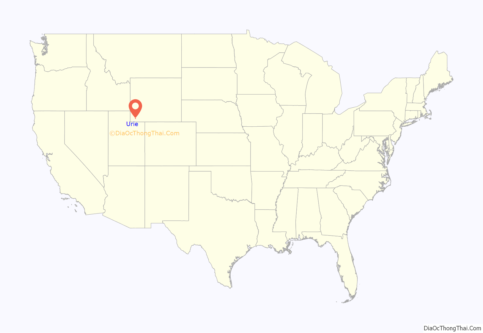
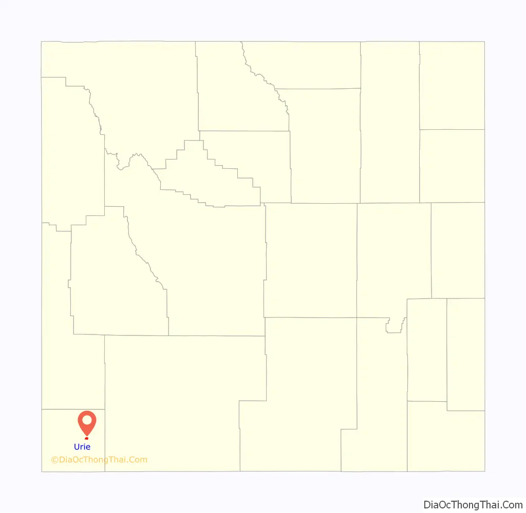
Urie location map. Where is Urie CDP?
Urie Road Map
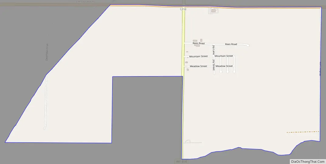
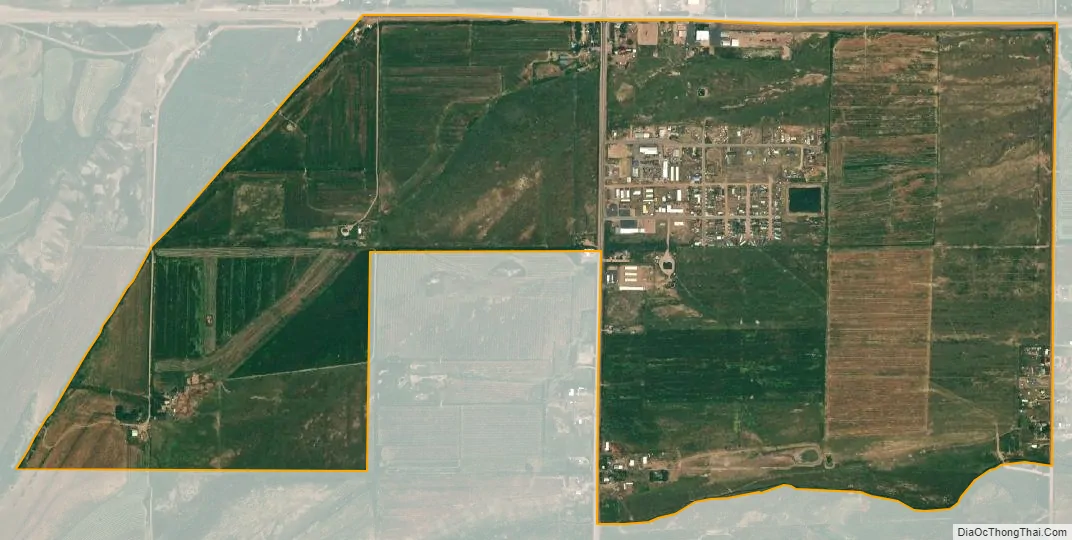
Urie city Satellite Map
See also
Map of Wyoming State and its subdivision: Map of other states:- Alabama
- Alaska
- Arizona
- Arkansas
- California
- Colorado
- Connecticut
- Delaware
- District of Columbia
- Florida
- Georgia
- Hawaii
- Idaho
- Illinois
- Indiana
- Iowa
- Kansas
- Kentucky
- Louisiana
- Maine
- Maryland
- Massachusetts
- Michigan
- Minnesota
- Mississippi
- Missouri
- Montana
- Nebraska
- Nevada
- New Hampshire
- New Jersey
- New Mexico
- New York
- North Carolina
- North Dakota
- Ohio
- Oklahoma
- Oregon
- Pennsylvania
- Rhode Island
- South Carolina
- South Dakota
- Tennessee
- Texas
- Utah
- Vermont
- Virginia
- Washington
- West Virginia
- Wisconsin
- Wyoming