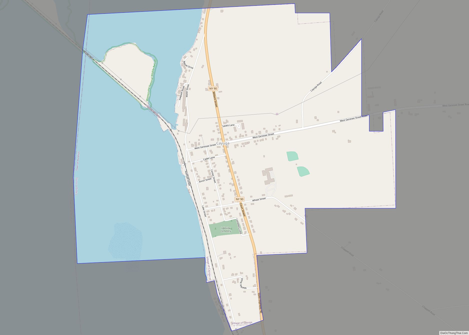
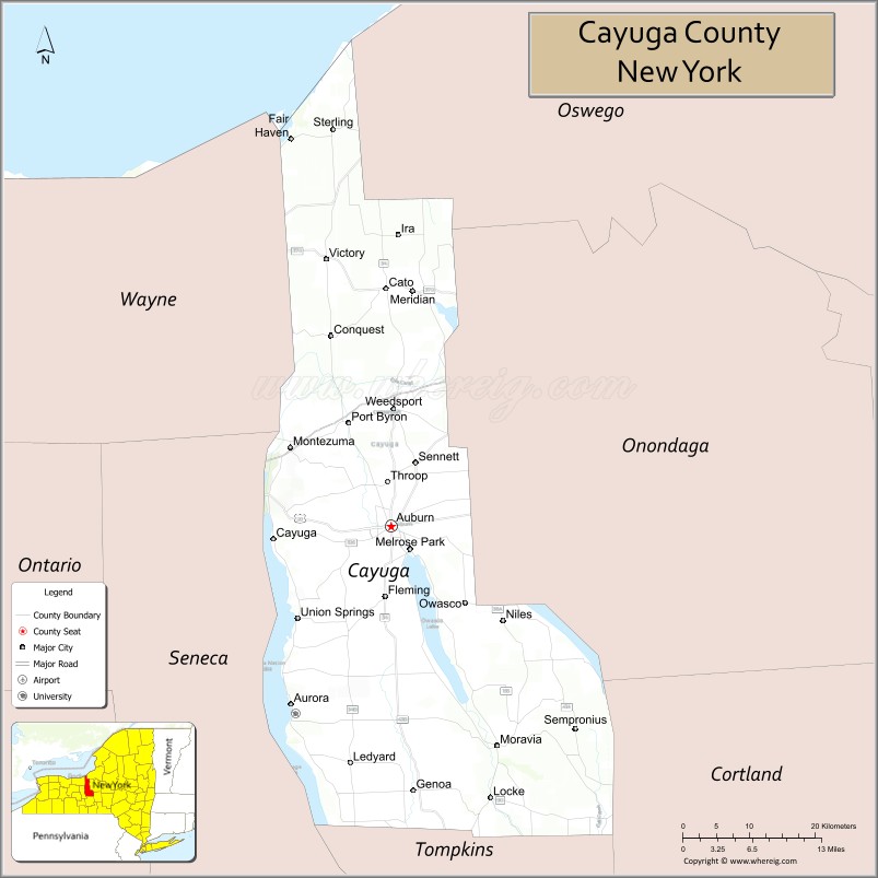
Cayuga County is a county in the U.S. state of New York. As of the 2020 census, the population was 76,248. Its county seat and largest city is Auburn. The county was named for the Cayuga people, one of the Native American tribes in the Iroquois Confederation.
Cayuga County comprises the Auburn, NY Micropolitan Statistical Area, which is also included in the Syracuse-Auburn, NY Combined Statistical Area.
| Name: | Cayuga County |
|---|---|
| FIPS code: | 36-011 |
| State: | New York |
| Founded: | 1799 |
| Named for: | Cayuga people |
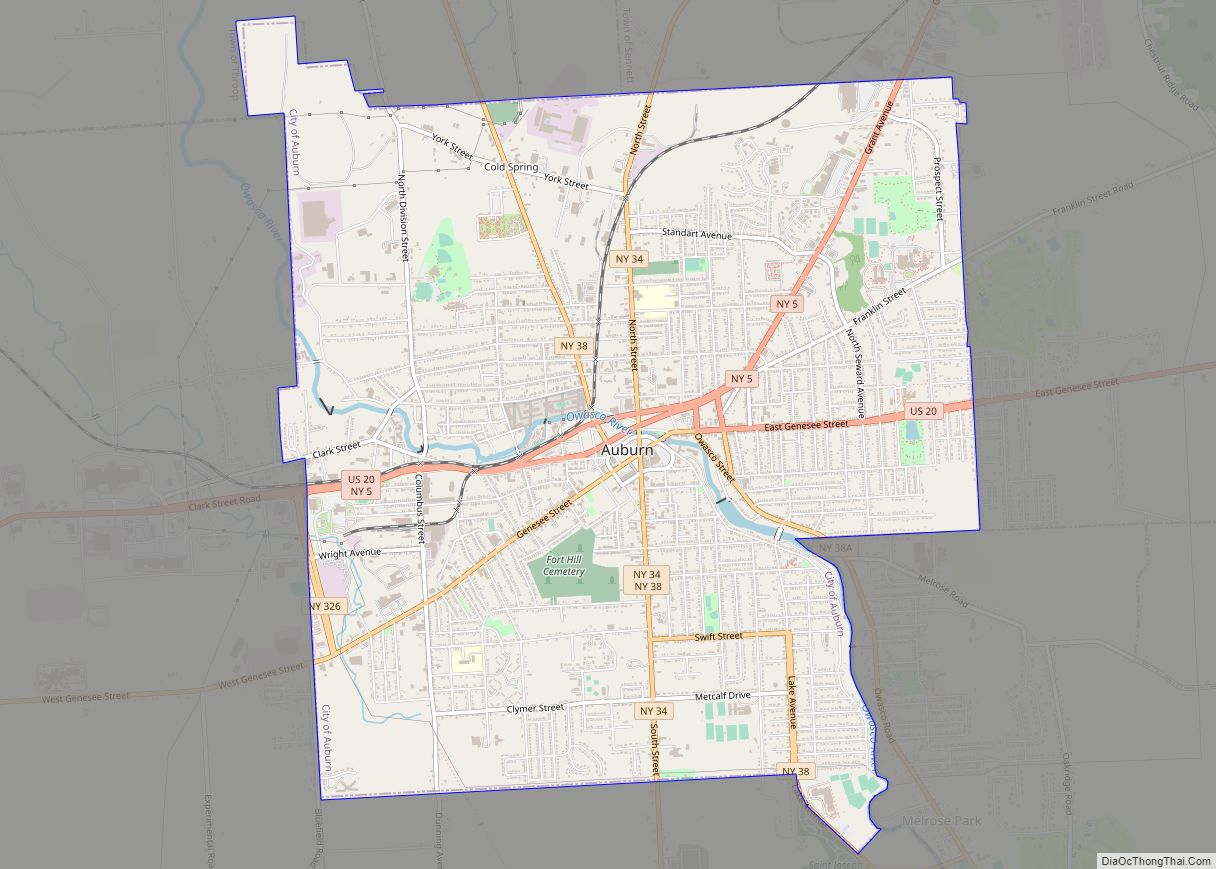
| Seat: | Auburn |
| Largest city: | Auburn |
| Total Area: | 864 sq mi (2,240 km²) |
| Land Area: | 692 sq mi (1,790 km²) |
| Total Population: | 76,248 |
| Population Density: | 110.3/sq mi (42.6/km²) |
| Time zone: | UTC−5 (Eastern) |
| Summer Time Zone (DST): | UTC−4 (EDT) |
| Website: | www.co.cayuga.ny.us |
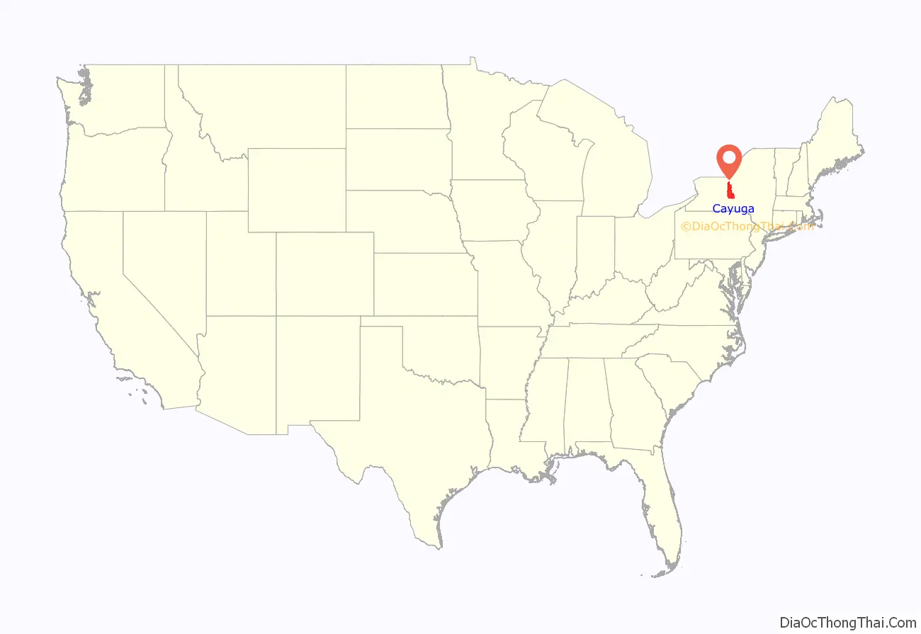
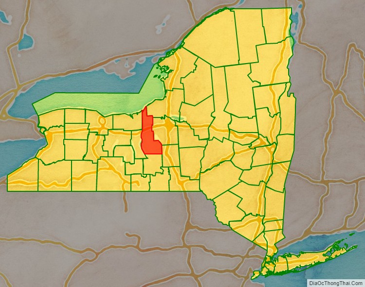
Cayuga County location map. Where is Cayuga County?
History
When counties were established in the Province of New York in 1683, the present Cayuga County was part of Albany County. This was an enormous county, including the northern part of the present state of New York and all of the present state of Vermont and, in theory, extending westward to the Pacific Ocean. This county was reduced in size on July 3, 1766, by the creation of Cumberland County, and further on March 16, 1770, by the creation of Gloucester County, both containing territory now in Vermont.
On March 12, 1772, what was left of Albany County was split into three parts, one remaining under the name Albany County. One of the other pieces, Tryon County, contained the western portion (and thus, since no western boundary was specified, theoretically still extended west to the Pacific). The eastern boundary of Tryon County was approximately five miles west of the present city of Schenectady, and the county included the western part of the Adirondack Mountains and the area west of the West Branch of the Delaware River. The area then designated as Tryon County now includes 37 counties of New York State. The county was named for William Tryon, colonial governor of New York. In the years prior to 1776, most of the Loyalists in Tryon County fled to Canada.
In 1784, following the peace treaty that ended the American Revolutionary War, the name of Tryon County was changed to Montgomery County in honor of the general, Richard Montgomery, who had captured several places in Canada and died attempting to capture the city of Quebec, replacing the name of the hated British governor.
In 1789, Montgomery County was reduced in size by the splitting off of Ontario County. The actual area split off from Montgomery County was much larger than the present county, also including the present Allegany, Cattaraugus, Chautauqua, Erie, Genesee, Livingston, Monroe, Niagara, Orleans, Steuben, Wyoming, Yates, and part of Schuyler and Wayne Counties.
Herkimer County was one of three counties split off from Montgomery County (the others being Otsego and Tioga Counties) in 1791.
Onondaga County was formed in 1794 by the splitting of Herkimer County.
Cayuga County was formed in 1799 by the splitting of Onondaga County. This county was, however, much larger than the present Cayuga County. It then included the present Seneca and Tompkins Counties.
In 1804, Seneca County was formed by the splitting of Cayuga County. Then in 1817, in turn, a portion of Seneca County was combined with a piece of the remainder of Cayuga County to form Tompkins County.
In the late 19th and early 20th century, this region attracted European immigrants who developed farms or took over existing ones, particularly from Italy and Poland.
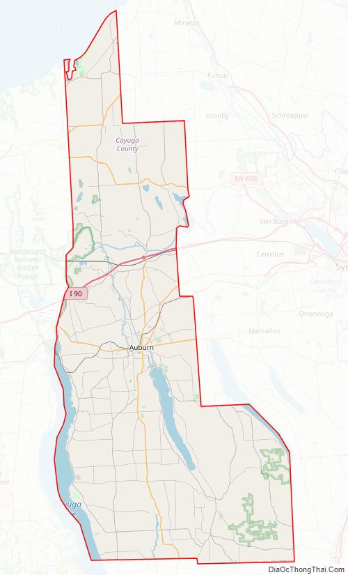
Cayuga County Road Map
Geography
According to the U.S. Census Bureau, the county has a total area of 864 square miles (2,240 km), of which 692 square miles (1,790 km) is land and 172 square miles (450 km) (20%) is water.
Cayuga County is located in the west central part of the state, in the Finger Lakes region. Owasco Lake is in the center of the county, and Cayuga Lake forms part of the western boundary. Lake Ontario is on the northern border, and Skaneateles Lake and Cross Lake form part of the eastern border. Cayuga County has more waterfront land than any other county in the state not adjacent to the Atlantic Ocean.
Adjacent counties
- Oswego County – northeast
- Onondaga County – east
- Cortland County – southeast
- Tompkins County – south
- Seneca County – west
- Wayne County – west
- Prince Edward County, Ontario – north
Major highways
- Interstate 90 (New York State Thruway)
- U.S. Route 20
- New York State Route 3
- New York State Route 5
- New York State Route 31
- New York State Route 34
- New York State Route 38
- New York State Route 90
- New York State Route 104
National protected area
- Montezuma National Wildlife Refuge (part)
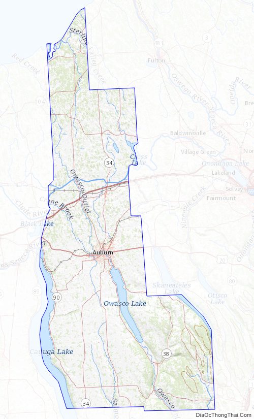
Cayuga County Topographic Map
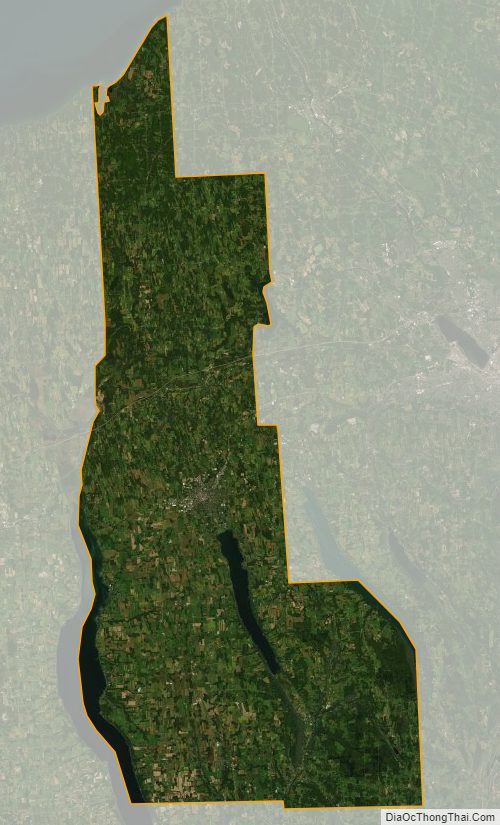
Cayuga County Satellite Map
Cayuga County Outline Map