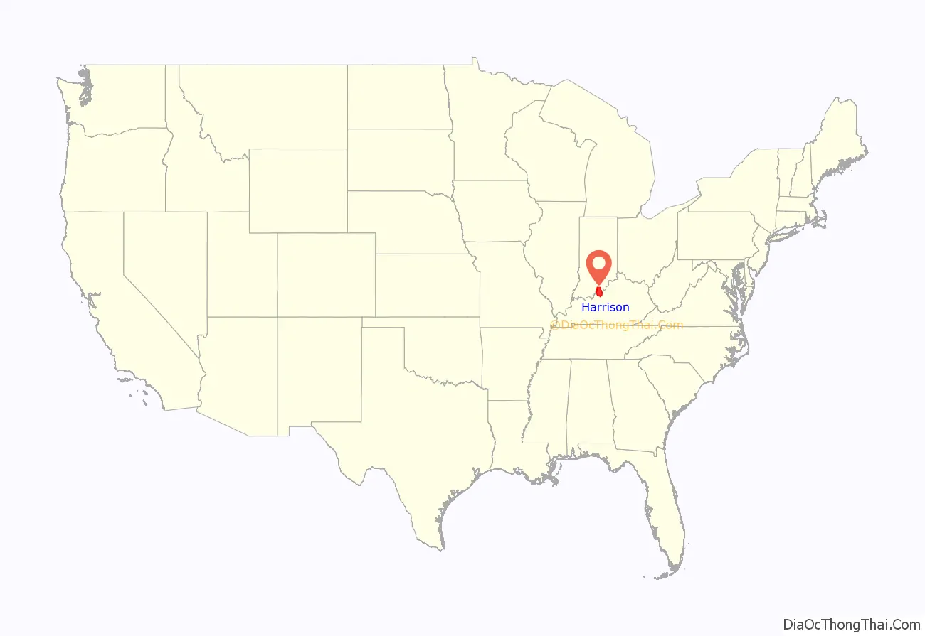
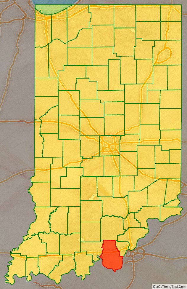
Harrison County is located in the far southern part of the U.S. state of Indiana along the Ohio River. The county was officially established in 1808. Its county seat is Corydon, the former capital of Indiana.
Harrison County is part of the Louisville-Jefferson County, KY-IN Metropolitan Statistical Area.
The county has a diverse economy with no sector employing more than 13% of the local workforce. Caesars Southern Indiana is the largest employer, followed by Tyson Foods and the Harrison County Hospital. Tourism plays a significant role in the economy and is centered on the county’s many historic sites. County government is divided among several bodies including the boards of the county’s three school districts, three elected commissioners who exercise legislative and executive powers, an elected county council that controls the county budget, a circuit and superior court, and township trustees in the county’s 12 townships. The county has 10 incorporated towns with a total population of over 5,000, as well as many small unincorporated towns. One Interstate highway and one U. S. Route run through the county, as do eight Indiana State Roads and two railroad lines.
Migratory groups of Native Americans inhabited the area for thousands of years, but the first permanent settlements in what would become Harrison County were created by American settlers in the years after the American Revolutionary War. The population grew rapidly during first decade of the 19th century. Corydon was platted in 1808 and became the capital of the Indiana Territory in 1813. Many of the state’s early important historic events occurred in the county, including the writing of Indiana’s first constitution. Corydon was the state capital until 1825, but in the years afterward remained an important hub for southern Indiana. In 1859 there was a major meteorite strike. In 1863 the Battle of Corydon was fought, the only battle of the American Civil War to occur in Indiana.
| Name: | Harrison County |
|---|---|
| FIPS code: | 18-061 |
| State: | Indiana |
| Founded: | December 1, 1808 |
| Named for: | William Henry Harrison |
| Seat: | Corydon |
| Largest city: | Corydon |
| Total Area: | 486.52 sq mi (1,260.1 km²) |
| Land Area: | 484.52 sq mi (1,254.9 km²) |
| Total Population: | 39,654 |
| Population Density: | 83.3/sq mi (32.2/km²) |
Harrison County location map. Where is Harrison County?
History
Humans first entered what would become Indiana near the end of the last ice age. This region was of particular value to the early humans because of the abundance of flint. There is evidence of flint mining in local caves as early as 2000 BCE; the stone was used to produce crude tools. Passing migratory tribes frequented the area which was influenced by succeeding groups of peoples including the Hopewells and Mississippians. One flint-working and camping location is the Swan’s Landing Archeological Site, one of the most important Early Archaic archaeological sites in eastern North America. Permanent human settlements in the county began with the arrival of American settlers in the last decade of the 18th century.
The area became part of the United States following its conquest during the American Revolutionary War. Veterans of the revolution received land grants in the eastern part of the county as part of Clark’s Grant. Daniel Boone and his brother Squire Boone were early explorers of the county, entering from Kentucky in the 1780s. Harvey Heth, Spier Spencer, and Edward Smith were among the first to settle in the county beginning in the 1790s. Smith built the first home in the area of Corydon.
Harrison County was originally part of Knox County and Clark County but was separated in 1808. It was the first Indiana county formed by the Indiana territorial legislature instead of the Governor, and the fourth to be formed in the future state of Indiana (after Knox and Clark; also Dearborn County was formed in 1803 when the eastern territory borderline with Ohio was adjusted to transfer the “Gore” to Indiana Territory). Portions of the county were later separated into parts of Crawford, Floyd, Washington, Jackson, Clark, Lawrence, Perry, Scott and Orange Counties. The county was named for William Henry Harrison, the first governor of Indiana Territory, a General in War of 1812, hero of Tippecanoe, and the 9th U.S. President. Harrison was the largest land holder in the county at the time and had a small estate at Harrison Spring.
Squire Boone settled in what is now Boone Township in 1806. He died in 1815 and is buried in a cave near his home, Squire Boone Caverns. James, Isaiah, and Daniel (son of Squire) Boone settled in Harrison County’s Heth Township during the first decade of the 1800s. The county’s first church was built by Boone east of present-day Laconia. The church, which has been reconstructed, is known as Old Goshen. Jacob Kintner settled near Corydon in about 1810. He was one of the wealthiest settlers and amassed a 700-acre (2.8 km) tract of land around Corydon, built a large home, and maintained an inn. Paul and Susannah Mitchem became Quakers and immigrated to Harrison County from North Carolina in 1814, bringing with them 107 slaves whom they freed after arriving. Although some of the former slaves left, the group became one of the largest communities of free blacks in the state.
The first road was built in Harrison County in 1809 connecting Corydon with Mauckport on the Ohio River. A tow-and-ferry line was operated there by the Mauck family bringing settlers into the county from Kentucky. This road and ferry greatly expanded the county’s economic viability and ease of access to the outside world, leading to a rapid settlement of the area. The county’s population more than doubled in the following decade.
Dennis Pennington, who lived near Lanesville, became one of the county’s early leading citizens and speaker of the territory’s legislature. Corydon began competing with other southern Indiana settlements to become the new capital of the territory after its reorganization in 1809. Hostilities broke out in 1811 with the Native American tribes on the frontier, and the territorial capital was moved to Corydon on May 1, 1813, after Pennington suggested that it would be safer than Vincennes. For the next twelve years, Corydon was the political center of the territory and subsequent state. A state constitution was drafted in Corydon during June 1816 and after statehood (December 1816) the town served as the state capital until 1825.
The first division of the county occurred in 1814 when the northern portion of the county was separated to become Washington County. In 1818 the western part of the county was partitioned off to become Crawford County. In 1819 Floyd County was created out of the eastern part of the county. Since that time, Harrison County’s eastern border has had minor adjustments through land transactions with Floyd County; the last change occurred in 1968.
The northern part of the county is known as the barrens, named by the early settlers for its scarce timber. At first, settlers preferred the southern areas where wood was available. The barrens were swept by annual wildfires that prevented the growth of trees. The largest barren ran from the northern edge of Corydon northward to Palmyra, and from the Floyd Knobs in the east, westward to the Blue River. The Central Barren covered most of the upper middle part of the county. As settlement expanded and farming grew in the early 19th century, settlers found the barrens to be fertile farmland, and they were quickly settled. As settlement increased, the wildfires were stopped and by the start of the 20th century the uninhabited parts of the barrens had become forested and have remained so until modern times. A large meteorite fell near Buena Vista on March 28, 1859. The impact site and a part of the meteorite have been preserved.
The first Harrison County fair was held in Corydon in 1860; it has been an annual event since then and is the state’s longest continuously running fair. The county fairground was built in Corydon on Edward Smith’s former homesite. The original grandstand burned in 1960 and the county purchased a new grandstand from the minor league baseball team at Parkway Field in Louisville, Kentucky.
The only Civil War battle fought in Indiana occurred in Harrison County on July 9, 1863, between the Harrison County Legion and a Confederate group under Brigadier General John Hunt Morgan, during Morgan’s Raid. Morgan crossed the Ohio River into Harrison County in the early hours of daylight, resisted by artillery fire from the Indiana shore and an armed river boat. Confederate artillery returned fire from the opposite shore, and the Legion retreated towards Corydon. The citizens of Mauckport fled the town carrying their valuables. Morgan landed on the east side of Mauckport with two thousand cavalry and marched north burning homes, farms, and mills. The county militia made a stand to block his advance on the county seat and the resulting conflict is known as the Battle of Corydon. The battle was won by the Confederates and the town of Corydon was then sacked and stores were looted and ransomed. The battle left 4 dead, 12 wounded, and 355 captured. After the battle, Morgan continued into northern Harrison County where he looted the New Salisbury area with the main body of troops. Crandall and Palmyra were robbed and sacked by detachments. His forces left the county the following day; they were eventually defeated and captured by Union Army forces.
The railroad reached Harrison County in 1869. A line was completed across the northern half of county in 1874 running from Floyd County connecting Crandall and then continuing west into Crawford County. A southward extension connecting Corydon to Crandall was completed in 1882. A train wreck killed three in 1902. The southern extension connecting Corydon was purchased by the Corydon Scenic Railroad Company in 1989. It operated as a tourist attraction until its 2003 closing, which ended passenger service in the county.
The first county courthouse was a small log building. When Corydon became the territory capital in 1813, county and territorial officials shared the building. By 1816 a stone building had been constructed, and it served as both Harrison County Courthouse and the state capital building until the capital was moved in 1825. As more space was needed, other buildings were constructed to supplement the courthouse. In the 1920s, the latest of these office buildings was razed to make way for a new courthouse; the old building was acquired by the State of Indiana and preserved as the first state capitol building. The new courthouse was completed in 1928 at a cost of about $250,000. The building was designed by Fowler and Karges of Evansville and was constructed by J. Fred Beggs and Company of Scottsburg. The Harrison-Crawford State Forest was started in 1932 when the State of Indiana purchased land in western Harrison County. The 26,000-acre (110 km) park is the largest state forest in Indiana and surrounds the O’Bannon Woods State Park, as well as the Wyandotte Caves located in eastern Crawford County.
The Matthew E. Welsh Bridge was completed in 1966 in Mauckport, to connect Harrison County with neighboring Meade County in Kentucky. This is the only bridge over the Ohio River between Tell City and New Albany. In 1969 Samuel Hays donated the 311-acre (1.26 km) Hayswood Nature Reserve to the county. It was developed in 1973 by the Harrison County Park Board by adding public facilities to the western part of the preserve. It is the second largest nature reserve in the county.
Caesars Indiana opened a casino river boat, hotel complex, and golf course in 1998, boosting the county’s tourism industry. The casino complex was purchased and became Horseshoe Southern Indiana on July 11, 2008.
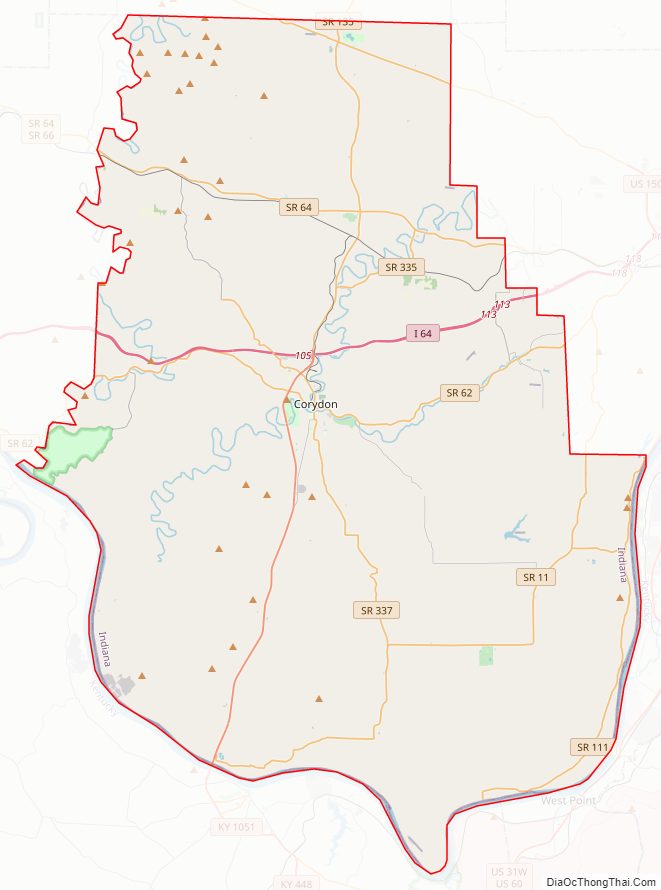
Harrison County Road Map
Geography
Harrison County is located in the far southern part of Indiana, about halfway between the state’s east and west borders. The Ohio River defines the county’s southern border; across the river lies the state of Kentucky and the city of Louisville. The Blue River defines most of the county’s western border; a straight north–south section of the border exists near the line’s midpoint.
The county terrain was heavily forested in its lower half when settlers arrived. At present, a portion is still wooded, with the remainer devoted to agriculture or urban development. The terrain slopes to the south and west, with its highest point (972 feet/296 meters ASL) on Lagle Ridge, 2 miles (3.2 km) NE of Depauw.
The western part of the county is drained by the Blue River, flowing southward. The central part is drained by the southwest-flowing Indian Creek, and the lower part of the county is drained by the three forks of Indian Creek. There are only large two bodies of water (other than rivers) within the county’s borders, and both are man-made: Lake Coleman is part of Buffalo Trace Park near Palmyra, and the middle fork of Buck Creek has been dammed in Posey Township. There are also smaller bodies, such as the pool at the discharge of Harrison Spring, an abandoned stretch of the Ohio River near the discharge point of Indian Creek, known as “Overflow Pond”, and a small pond one mile (1.6 km) ESE of Lanesville.
According to the 2010 United States Census, the county has a total area of 486.52 square miles (1,260.1 km), of which 484.52 square miles (1,254.9 km) (or 99.59%) is land and 2.00 square miles (5.2 km) (or 0.41%) is water.
Harrison Spring is located west of Corydon; it is 60 feet (18 m) in diameter and is over 40 feet (12 m) deep, making it the largest and deepest spring in Indiana. It rises from a solid rock in a level spot of land, and its flow was sufficient to power flour mills in the past. Is the largest spring by volume in Indiana producing over 3 million gallons (11 million liters) of water daily. The name recognizes William Henry Harrison, who owned this area.
Harrison County is hilly in parts. The Knobstone Escarpment begins in the southeastern part of the county, rises sharply at the Ohio River, and runs along the eastern edge of the county. The “knobs” are the most significant series of hills in Indiana, with the highest knobs near the Ohio River towering 610 feet (190 m) over the surrounding valley. This is the greatest local relief difference in the state.
The western part of the county is preserved as the Harrison-Crawford State Forest and the O’Bannon Woods State Park. The county has extensive cave systems including Squire Boone Caverns, the Binkley Cave System (Indiana Caverns) and smaller, highly decorated caves such as Jewel Box and Devil’s Graveyard caves.
Adjacent counties
- Washington County – north
- Floyd County – east
- Hardin County, Kentucky – southeast
- Jefferson County, Kentucky – east
- Meade County, Kentucky – southwest
- Crawford County – west
Towns and incorporated communities
- Corydon (county seat)
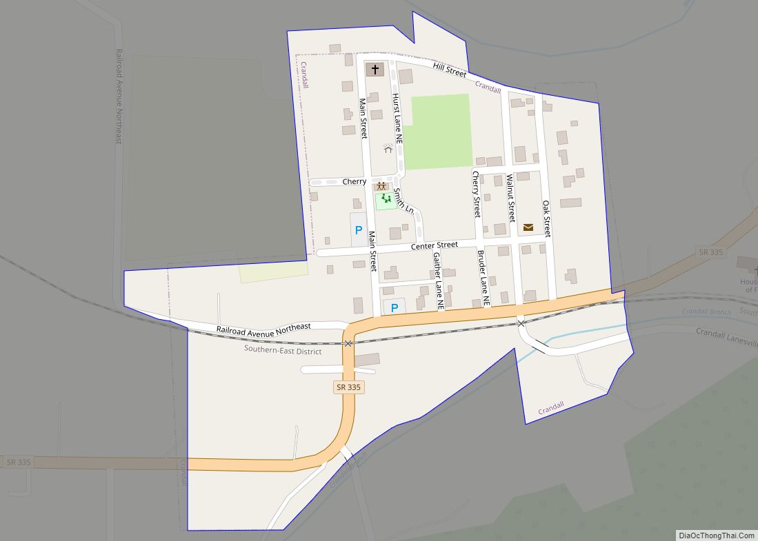
- Crandall
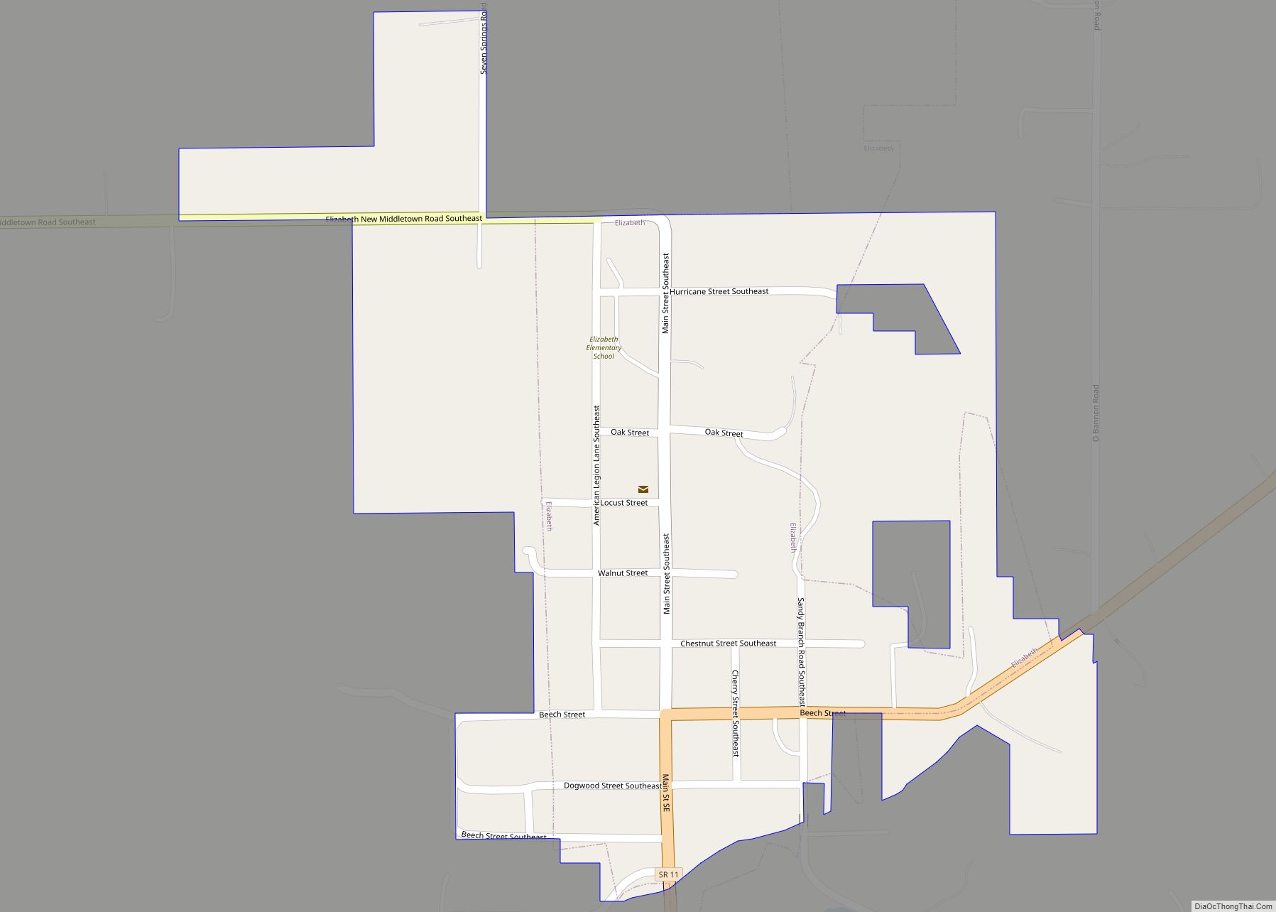
- Elizabeth
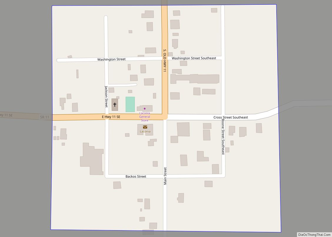
- Laconia
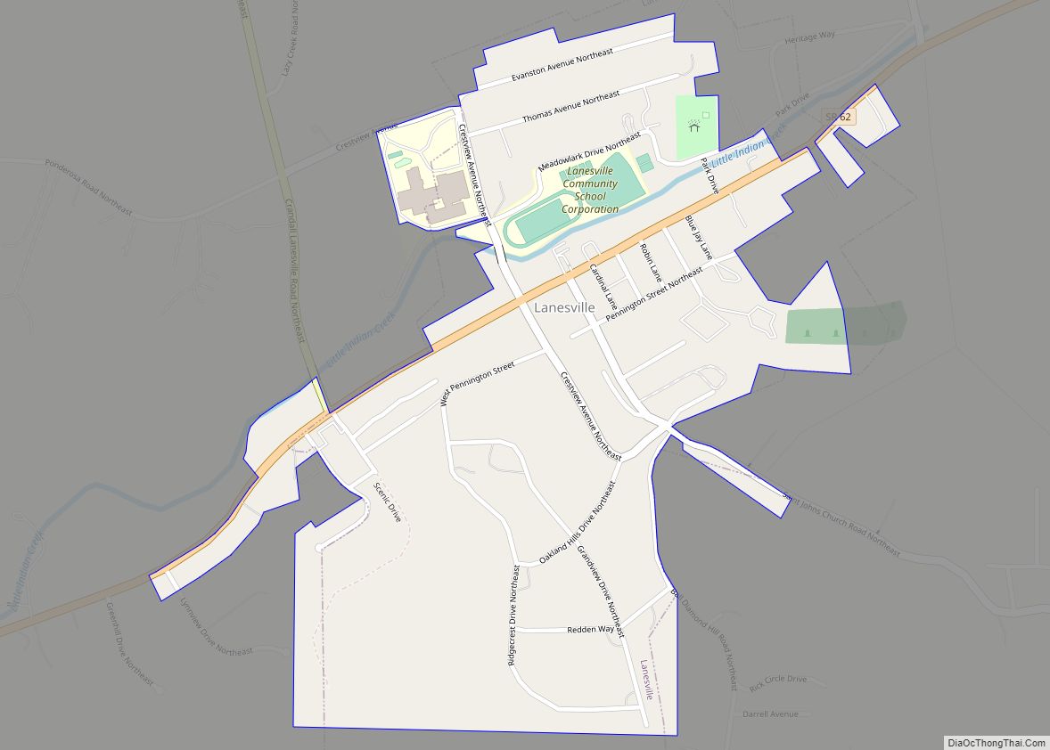
- Lanesville
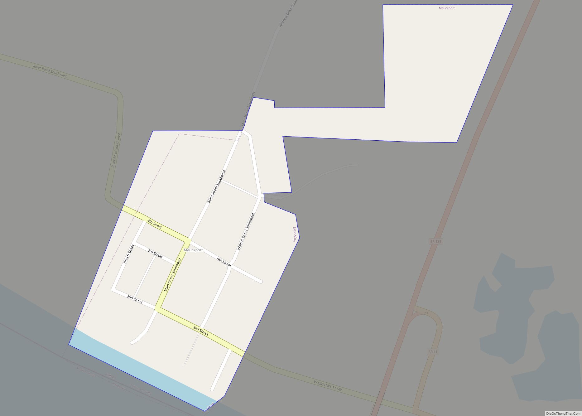
- Mauckport
- Milltown
- New Amsterdam
- New Middletown
- Palmyra
Unincorporated communities
- Bradford
- Breckenridge
- Bridgeport
- Buena Vista
- Byrneville
- Central
- Central Barren
- Corydon Junction
- Davidson
- Depauw
- Dixie
- Dogwood
- Evans Landing
- Fairdale
- Fishtown
- Frenchtown
- Glidas
- Hancock Chapel
- Macedonia
- Moberly
- Mott
- New Boston
- New Salisbury (Census-designated place)
- Ramsey
- Rosewood
- Sugar Grove
- Titus
- Tobacco Landing
- Valley City
- White Cloud
Townships
- Blue River
- Boone
- Franklin
- Harrison
- Heth
- Jackson
- Morgan
- Posey
- Spencer
- Taylor
- Washington
- Webster
Incorporated communities by population
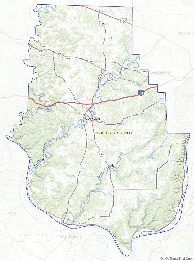
Harrison County Topographic Map
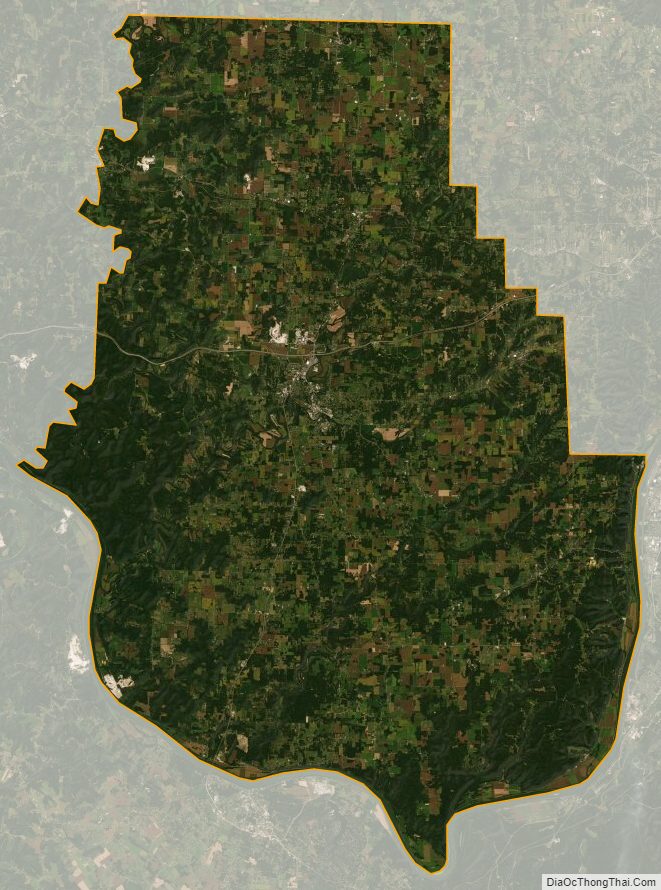
Harrison County Satellite Map
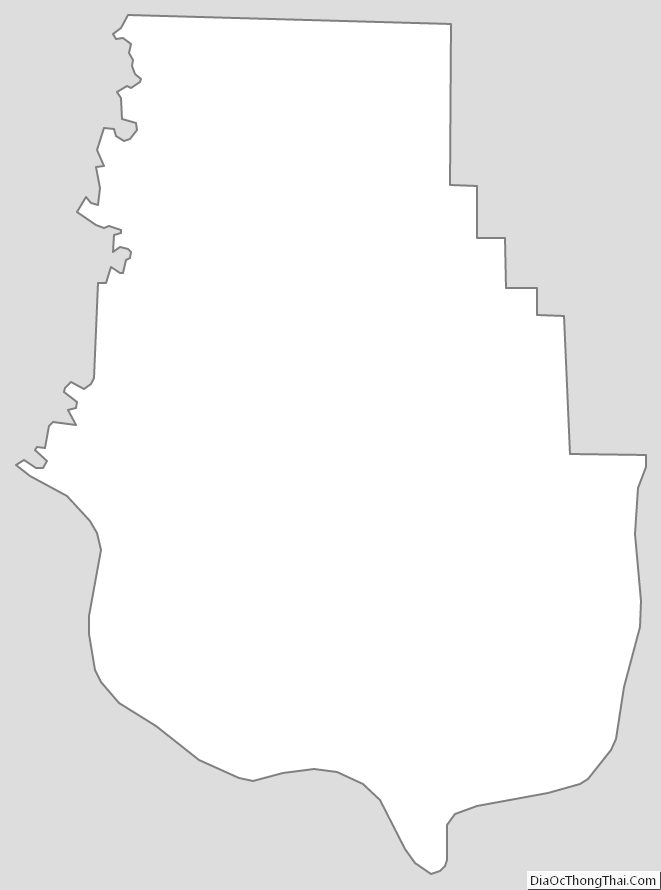
Harrison County Outline Map