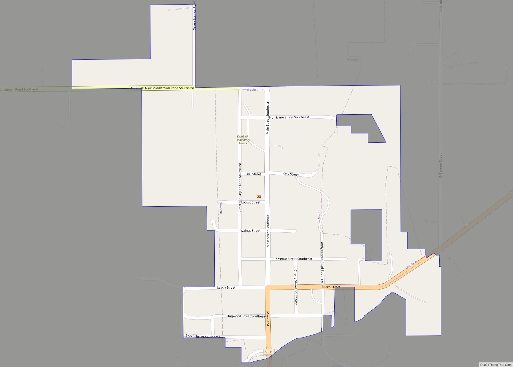
Elizabeth is a town in Posey Township, Harrison County, Indiana, United States. The population was 162 at the 2010 census.
| Name: | Elizabeth town |
|---|---|
| LSAD Code: | 43 |
| LSAD Description: | town (suffix) |
| State: | Indiana |
| County: | Harrison County |
| Elevation: | 781 ft (238 m) |
| Total Area: | 0.26 sq mi (0.68 km²) |
| Land Area: | 0.26 sq mi (0.68 km²) |
| Water Area: | 0.00 sq mi (0.00 km²) |
| Total Population: | 199 |
| Population Density: | 762.45/sq mi (293.91/km²) |
| ZIP code: | 47117 |
| Area code: | 812 |
| FIPS code: | 1820674 |
| GNISfeature ID: | 2396924 |
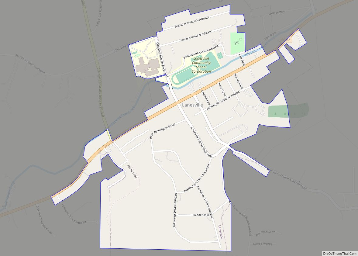
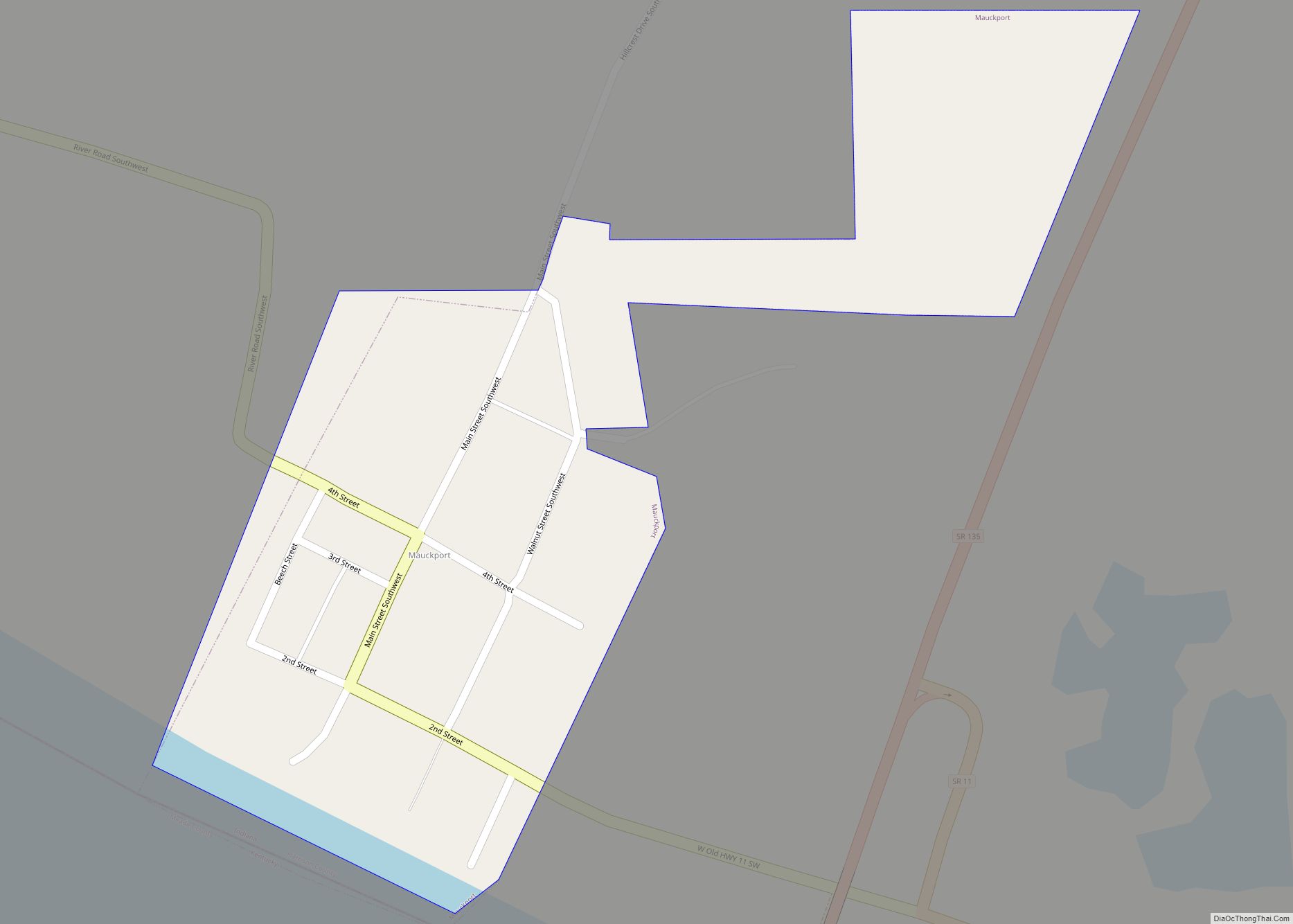
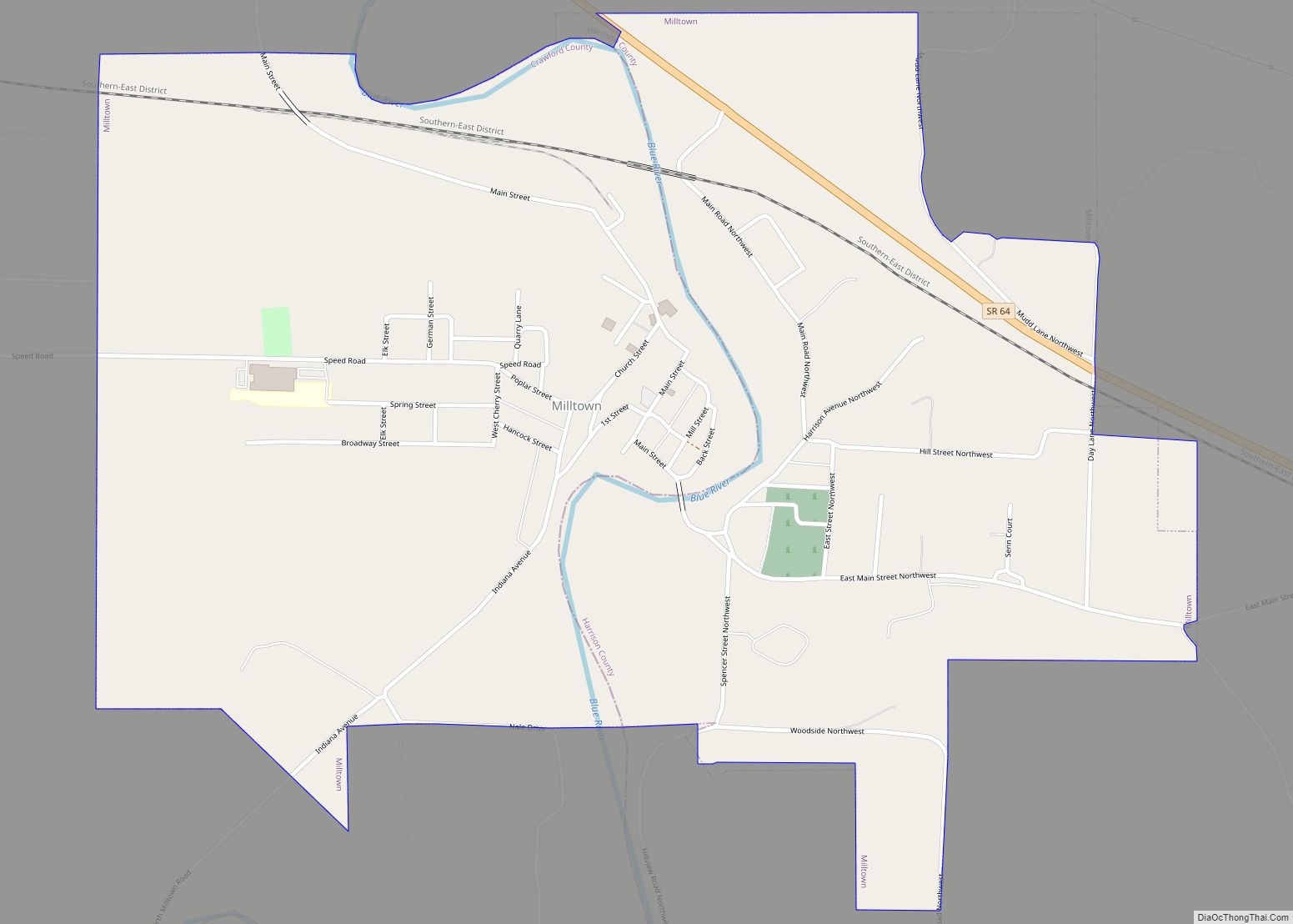
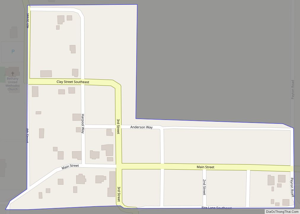
Online Interactive Map
Click on ![]() to view map in "full screen" mode.
to view map in "full screen" mode.
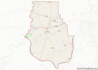
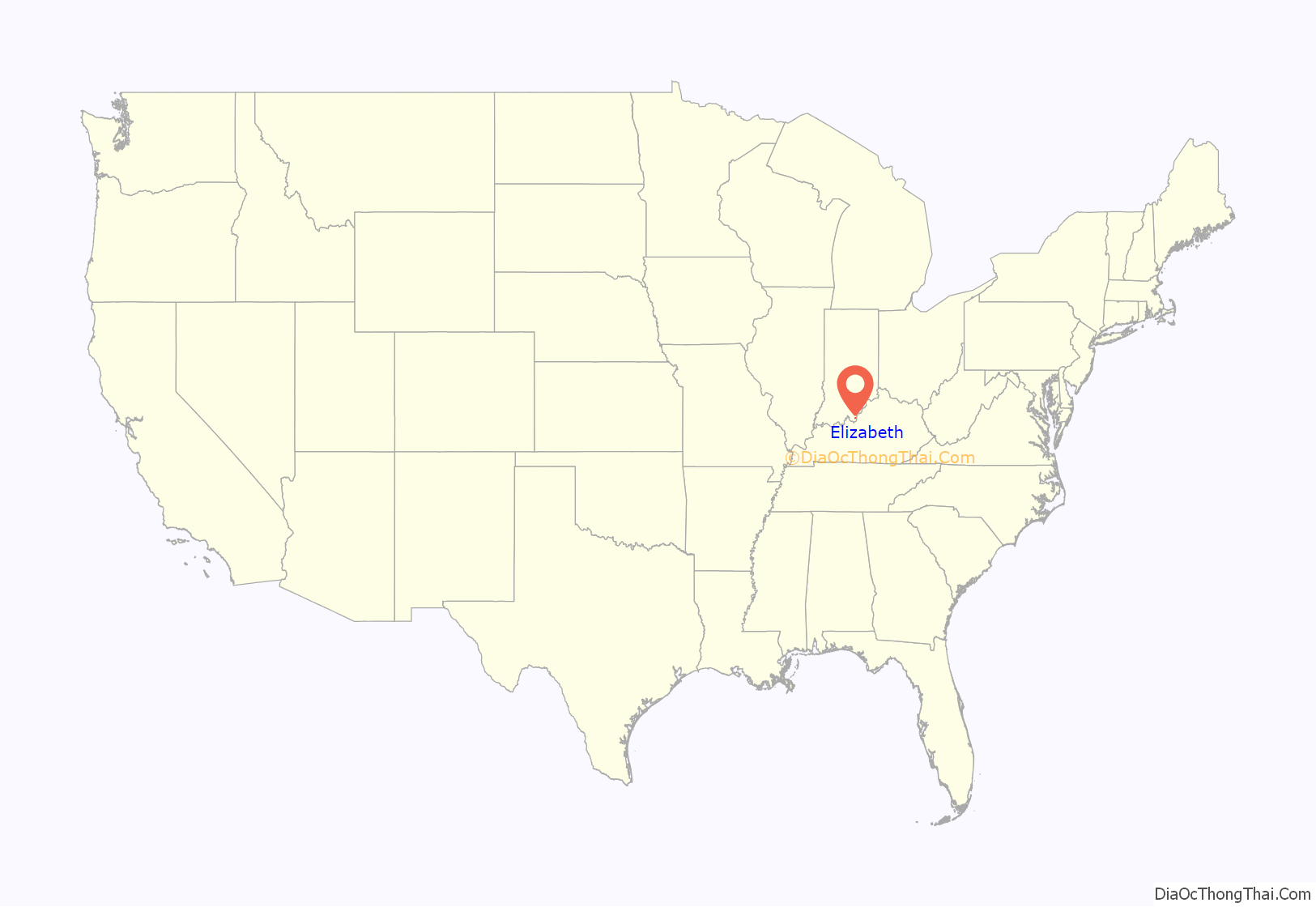
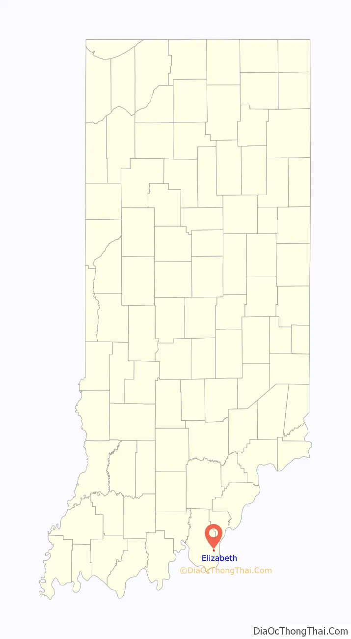
Elizabeth location map. Where is Elizabeth town?
History
The original plat of the town of Elizabeth was recorded on April 17, 1812. It was witnessed by Sheriff John Tipton. The land for the town was donated by Capt. Jacob Zenor and wife Suzannah Muchendorffer Zenor. The town is named after Jacob’s daughter-in-law Elizabeth Lemmon Zenor wife of George Zenor.
Rose Hill Cemetery, the second largest cemetery in the county, is located on the west side of the town. The land for the cemetery was donated by Jacob Zenor and wife, with the only rule being that burial be made available regardless of the religious denomination of the deceased.
The town fire department was first organized by the town on December 29, 1959. The first fire engine was purchased in Corydon. It was a 1941 International Fire Truck, purchased for $200.
The first school in Elizabeth was a single room log cabin around 1833. Around 1890 seminary education first became available at Clay Hill College in downtown Elizabeth. The college was later moved and the high school eventually took over that building around 1908. The first graduation was held on April 13, 1912. The high school burned down in 1935. In 1936 Posey Township completed construction of a new brick school building. The building is still in use today, owned and operated by a local civic non-profit organization. The town’s school children now attend South Central High School, which serves the entire south-eastern portion of Harrison County.
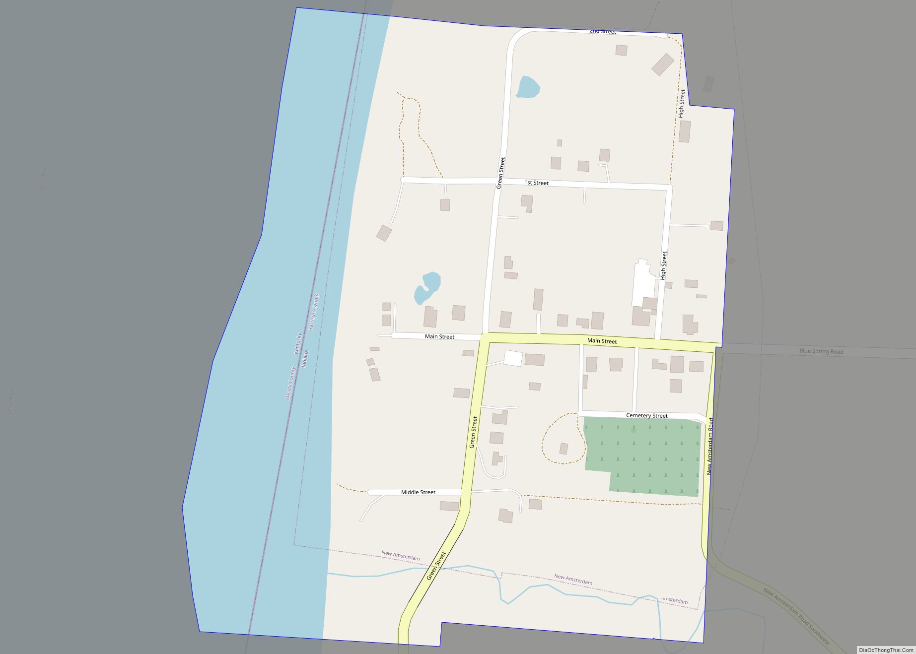
Elizabeth Road Map
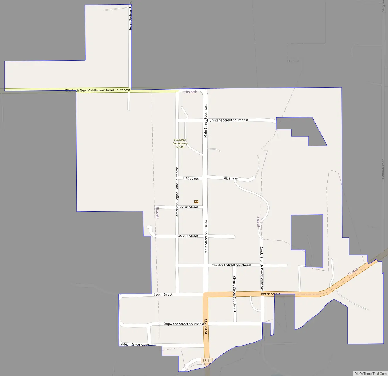
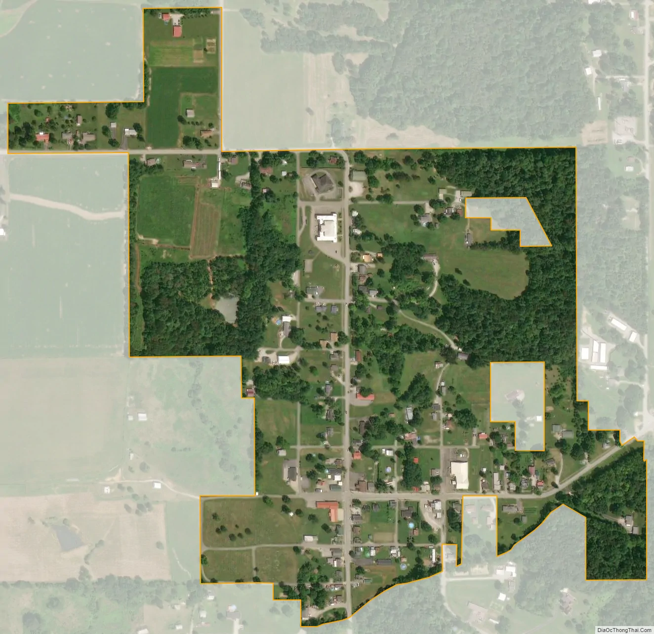
Elizabeth city Satellite Map
Geography
Elizabeth is located at 38°7′27″N 85°58′25″W / 38.12417°N 85.97361°W / 38.12417; -85.97361 (38.124158, -85.973711). According to the 2010 census, Elizabeth has a total area of 0.17 square miles (0.44 km), all land.
Climate
The climate in this area is characterized by hot, humid summers and generally mild to cool winters. According to the Köppen Climate Classification system, Elizabeth has a humid subtropical climate, abbreviated “Cfa” on climate maps.
See also
Map of Indiana State and its subdivision:- Adams
- Allen
- Bartholomew
- Benton
- Blackford
- Boone
- Brown
- Carroll
- Cass
- Clark
- Clay
- Clinton
- Crawford
- Daviess
- De Kalb
- Dearborn
- Decatur
- Delaware
- Dubois
- Elkhart
- Fayette
- Floyd
- Fountain
- Franklin
- Fulton
- Gibson
- Grant
- Greene
- Hamilton
- Hancock
- Harrison
- Hendricks
- Henry
- Howard
- Huntington
- Jackson
- Jasper
- Jay
- Jefferson
- Jennings
- Johnson
- Knox
- Kosciusko
- LaGrange
- Lake
- Lake Michigan
- LaPorte
- Lawrence
- Madison
- Marion
- Marshall
- Martin
- Miami
- Monroe
- Montgomery
- Morgan
- Newton
- Noble
- Ohio
- Orange
- Owen
- Parke
- Perry
- Pike
- Porter
- Posey
- Pulaski
- Putnam
- Randolph
- Ripley
- Rush
- Saint Joseph
- Scott
- Shelby
- Spencer
- Starke
- Steuben
- Sullivan
- Switzerland
- Tippecanoe
- Tipton
- Union
- Vanderburgh
- Vermillion
- Vigo
- Wabash
- Warren
- Warrick
- Washington
- Wayne
- Wells
- White
- Whitley
- Alabama
- Alaska
- Arizona
- Arkansas
- California
- Colorado
- Connecticut
- Delaware
- District of Columbia
- Florida
- Georgia
- Hawaii
- Idaho
- Illinois
- Indiana
- Iowa
- Kansas
- Kentucky
- Louisiana
- Maine
- Maryland
- Massachusetts
- Michigan
- Minnesota
- Mississippi
- Missouri
- Montana
- Nebraska
- Nevada
- New Hampshire
- New Jersey
- New Mexico
- New York
- North Carolina
- North Dakota
- Ohio
- Oklahoma
- Oregon
- Pennsylvania
- Rhode Island
- South Carolina
- South Dakota
- Tennessee
- Texas
- Utah
- Vermont
- Virginia
- Washington
- West Virginia
- Wisconsin
- Wyoming