Palmyra is a town in Morgan Township, Harrison County, Indiana, United States. The population was 930 at the 2010 census.
| Name: | Palmyra town |
|---|---|
| LSAD Code: | 43 |
| LSAD Description: | town (suffix) |
| State: | Indiana |
| County: | Harrison County |
| Elevation: | 774 ft (236 m) |
| Total Area: | 1.24 sq mi (3.21 km²) |
| Land Area: | 1.20 sq mi (3.10 km²) |
| Water Area: | 0.04 sq mi (0.11 km²) |
| Total Population: | 898 |
| Population Density: | 750.84/sq mi (290.00/km²) |
| ZIP code: | 47164 |
| Area code: | 812 |
| FIPS code: | 1857726 |
| GNISfeature ID: | 0440849 |
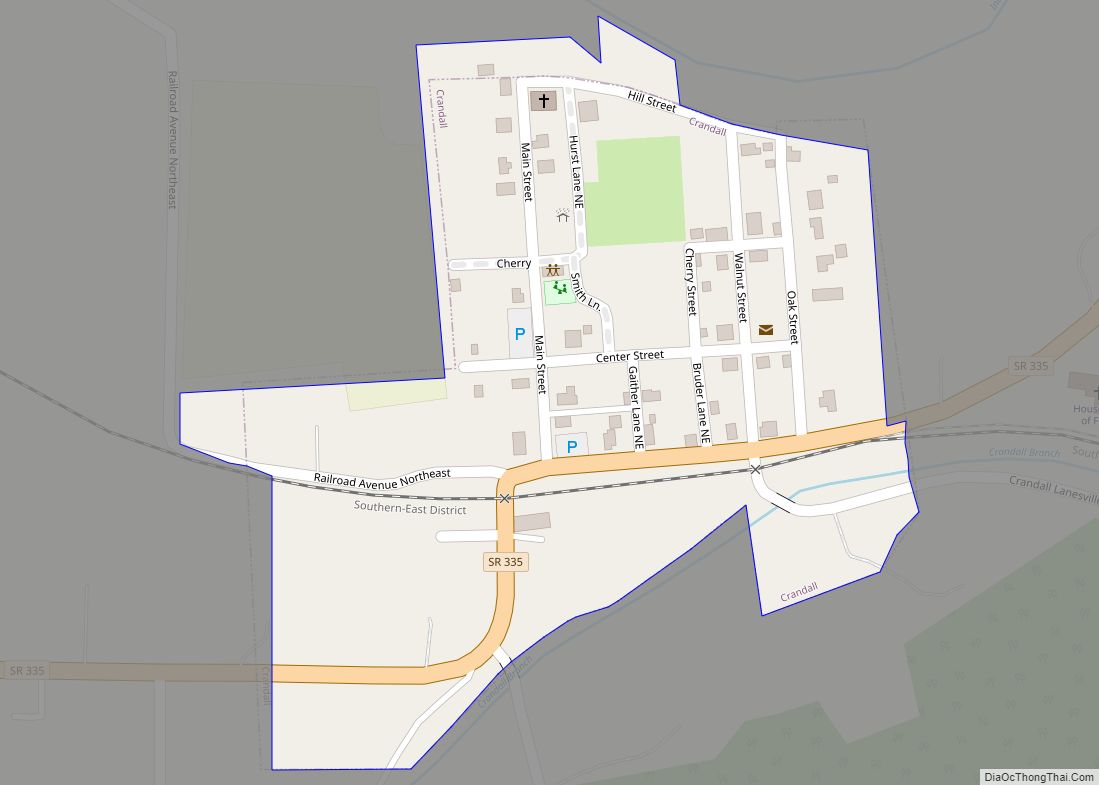
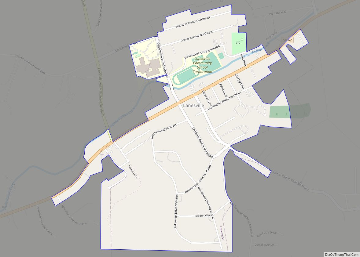
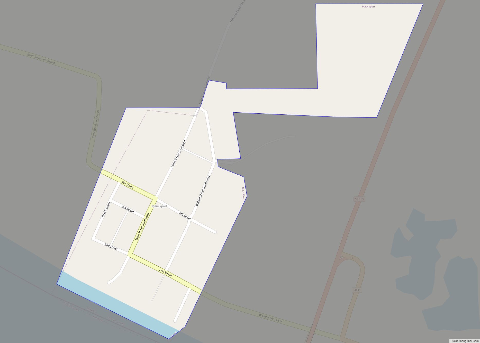
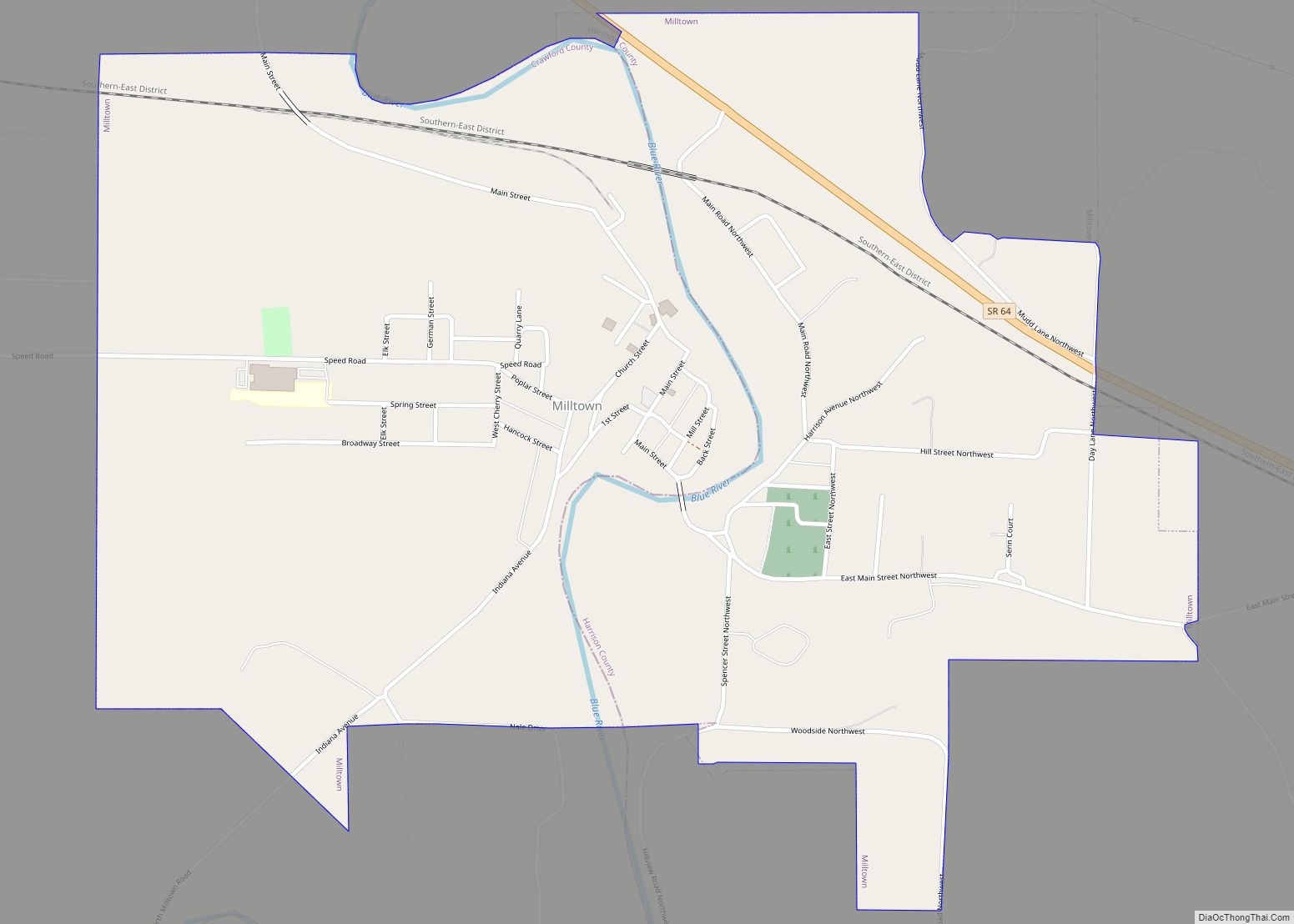
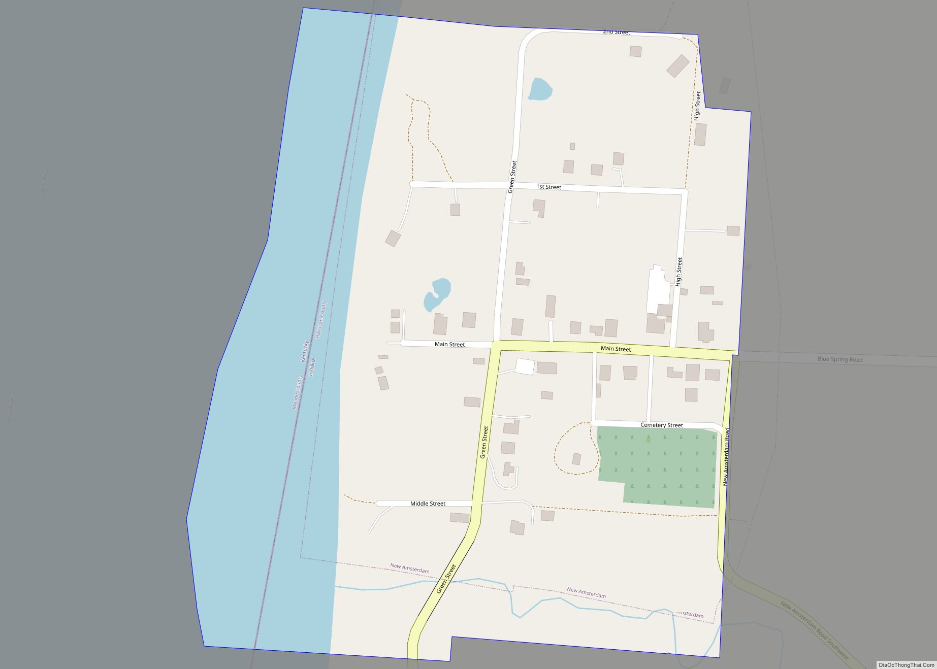
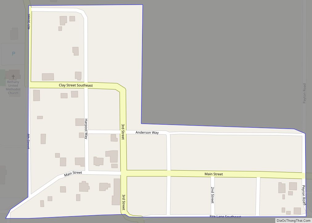
Online Interactive Map
Click on ![]() to view map in "full screen" mode.
to view map in "full screen" mode.
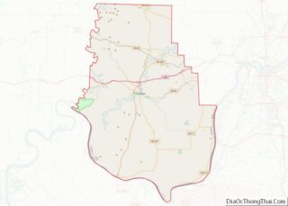
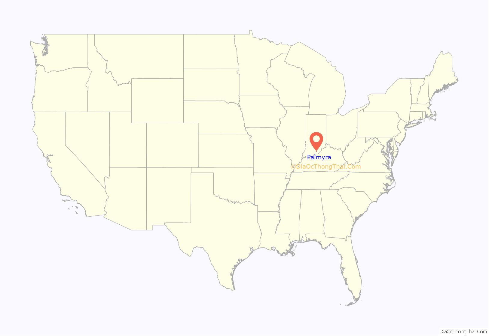
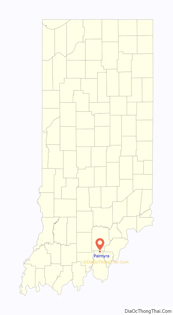
Palmyra location map. Where is Palmyra town?
History
Palmyra was originally called Carthage, and under the latter name was laid out in 1836. Because there was already another Carthage in Indiana, the town was renamed Palmyra in 1839 to avoid repetition. The present name most likely is a transfer from the ancient city of Palmyra.
A Confederate force led by Brigadier General John Hunt Morgan camped in Palmyra on the night of July 9, 1863 after the Battle of Corydon. The army took ransoms from the businesses and commandeered all the town’s horses for the Confederate cavalry. The army left the town on the morning of July 10, riding north towards Salem. The town had two previous names: McClellan’s Crossroad and Carthage.
Palmyra Road Map
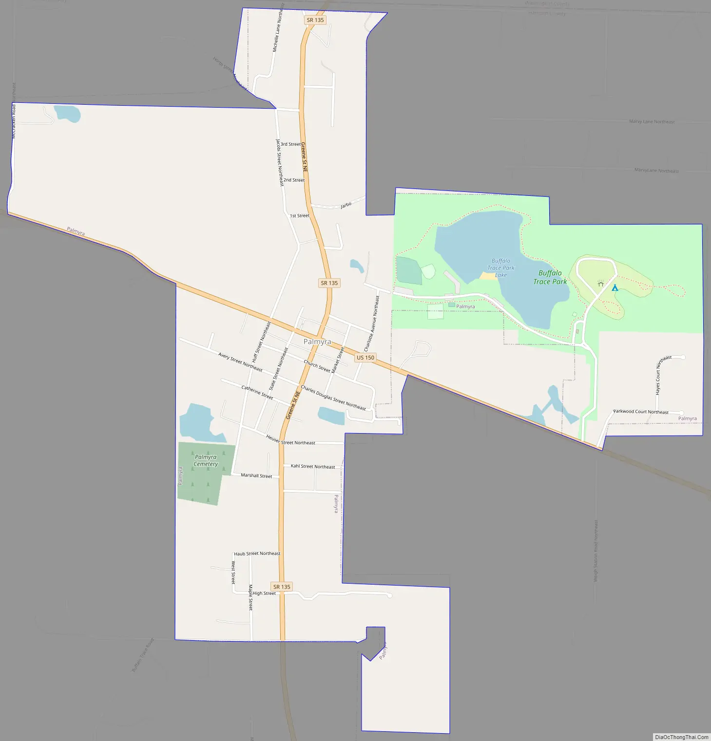
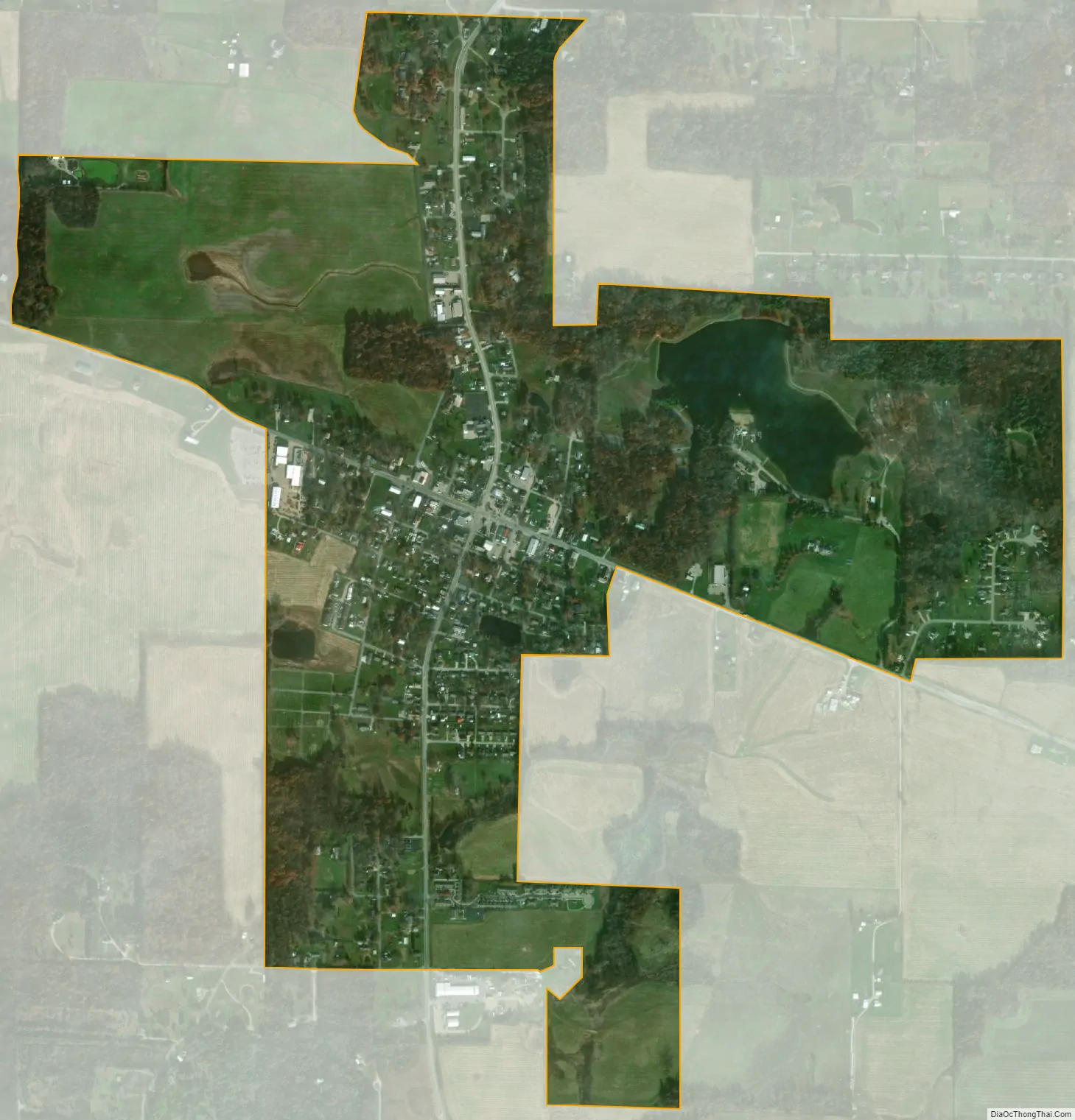
Palmyra city Satellite Map
Geography
Palmyra is located at 38°24′27″N 86°6′38″W / 38.40750°N 86.11056°W / 38.40750; -86.11056 (38.407458, -86.110636).
According to the 2010 census, Palmyra has a total area of 1.28 square miles (3.32 km), of which 1.24 square miles (3.21 km) (or 96.88%) is land and 0.04 square miles (0.10 km) (or 3.13%) is water.
See also
Map of Indiana State and its subdivision:- Adams
- Allen
- Bartholomew
- Benton
- Blackford
- Boone
- Brown
- Carroll
- Cass
- Clark
- Clay
- Clinton
- Crawford
- Daviess
- De Kalb
- Dearborn
- Decatur
- Delaware
- Dubois
- Elkhart
- Fayette
- Floyd
- Fountain
- Franklin
- Fulton
- Gibson
- Grant
- Greene
- Hamilton
- Hancock
- Harrison
- Hendricks
- Henry
- Howard
- Huntington
- Jackson
- Jasper
- Jay
- Jefferson
- Jennings
- Johnson
- Knox
- Kosciusko
- LaGrange
- Lake
- Lake Michigan
- LaPorte
- Lawrence
- Madison
- Marion
- Marshall
- Martin
- Miami
- Monroe
- Montgomery
- Morgan
- Newton
- Noble
- Ohio
- Orange
- Owen
- Parke
- Perry
- Pike
- Porter
- Posey
- Pulaski
- Putnam
- Randolph
- Ripley
- Rush
- Saint Joseph
- Scott
- Shelby
- Spencer
- Starke
- Steuben
- Sullivan
- Switzerland
- Tippecanoe
- Tipton
- Union
- Vanderburgh
- Vermillion
- Vigo
- Wabash
- Warren
- Warrick
- Washington
- Wayne
- Wells
- White
- Whitley
- Alabama
- Alaska
- Arizona
- Arkansas
- California
- Colorado
- Connecticut
- Delaware
- District of Columbia
- Florida
- Georgia
- Hawaii
- Idaho
- Illinois
- Indiana
- Iowa
- Kansas
- Kentucky
- Louisiana
- Maine
- Maryland
- Massachusetts
- Michigan
- Minnesota
- Mississippi
- Missouri
- Montana
- Nebraska
- Nevada
- New Hampshire
- New Jersey
- New Mexico
- New York
- North Carolina
- North Dakota
- Ohio
- Oklahoma
- Oregon
- Pennsylvania
- Rhode Island
- South Carolina
- South Dakota
- Tennessee
- Texas
- Utah
- Vermont
- Virginia
- Washington
- West Virginia
- Wisconsin
- Wyoming