Southport is a city in Brunswick County, North Carolina, United States, near the mouth of the Cape Fear River. Its population was 3,828 as of the 2018 census. The mayor is Joseph P. Hatem.
Southport is the location of the North Carolina Fourth of July Festival, which attracts 40,000 to 50,000 visitors annually.
| Name: | Southport city |
|---|---|
| LSAD Code: | 25 |
| LSAD Description: | city (suffix) |
| State: | North Carolina |
| County: | Brunswick County |
| Elevation: | 20 ft (6 m) |
| Total Area: | 4.04 sq mi (10.47 km²) |
| Land Area: | 4.00 sq mi (10.37 km²) |
| Water Area: | 0.04 sq mi (0.09 km²) |
| Total Population: | 3,971 |
| Population Density: | 991.76/sq mi (382.89/km²) |
| ZIP code: | 28461 |
| FIPS code: | 3763400 |
| GNISfeature ID: | 1022722 |
| Website: | www.cityofsouthport.com |
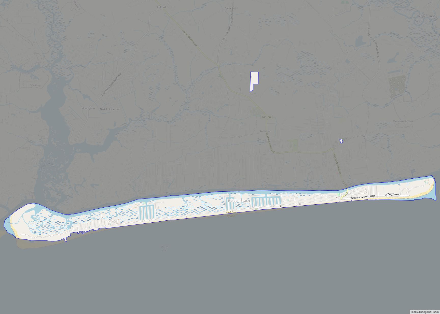
Online Interactive Map
Click on ![]() to view map in "full screen" mode.
to view map in "full screen" mode.
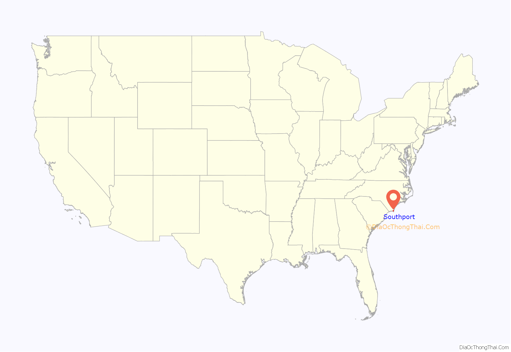
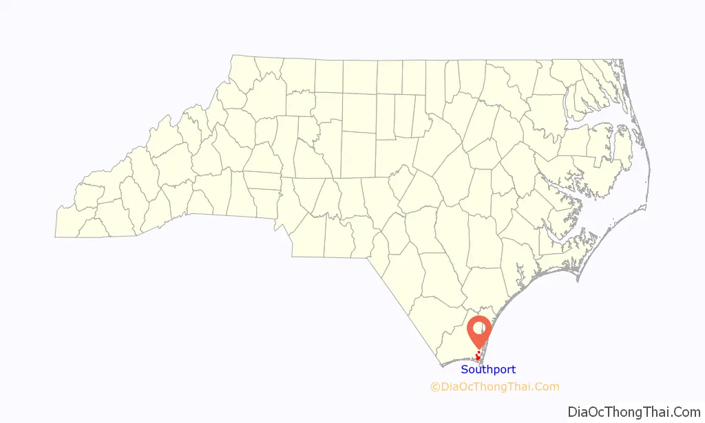
Southport location map. Where is Southport city?
History
The Southport area was explored in the 1500s by Spanish explorers. During the 18th century, British settlements along the Carolina coast lacked fortifications to protect against pirates and privateers, and numerous Spanish attackers exploited this weakness. In response to these attacks, Governor Gabriel Johnston in 1744 appointed a committee to select the best location to construct a fort for the defense of the Cape Fear River region. It was determined that the fort should be constructed at a site at the mouth of the Cape Fear River. During the same year, France declared war against Britain, later known as King George’s War, increasing the fort’s need. Further, increasingly bold Spanish privateer raids led the North Carolina General Assembly to authorize the construction of “Johnston’s Fort” in April 1745, which would come to be known as Fort Johnston. The governor of South Carolina agreed to lend ten small cannons for the fort, and the legislature, in spring 1748, appropriated 2,000 pounds for construction costs, and construction finally began. Southport developed around Fort Johnston.
Southport was founded as the town of Smithville in 1792. Joshua Potts had requested the formation of a town adjacent to Fort Johnston, and the North Carolina General Assembly formed a commission of five men to administer its founding. The town was named after Benjamin Smith, a colonel in the Continental Army during the Revolutionary War and later governor of North Carolina. Smithville grew as a fishing village and through supporting military activity. Smithville was the county seat of Brunswick County from 1808 to 1977. In an effort to promote the town as a major shipping port, Smithville was renamed Southport in 1887. Smithville Township, in which Southport lies, and other local landmarks, such as the cemetery, retain the Smithville name.
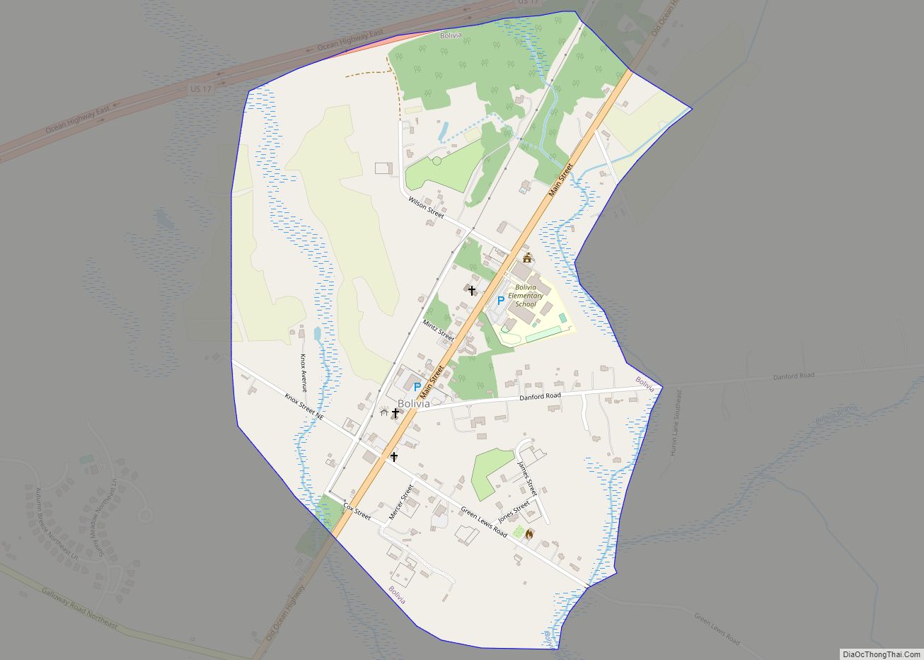
Interest in making Southport a major commercial port then prompted efforts to connect it via rail to Wilmington and the Atlantic Coast Line/Seaboard Air Line Railroad systems. After some 25 years of failed effort by various entrepreneurs, the Wilmington, Brunswick and Southern Railroad began operation in 1911. Running northwest out of Southport to Bolivia, the line then turned northeast towards Navassa where it joined the existing rail network. Poorly constructed, beset with continued revenue shortfalls and facing intense and growing competition from trucks/automobiles, the 30 mile long railroad ceased operation in 1945.
Ten years later, it would be the U.S. Government who would construct the present rail line from the Military Ocean Terminal Sunny Point just north of Southport to the interior rail system along a different, more direct path. Thus, while the renaming to Southport did not achieve its goal of making the town a major shipping port, Southport instead became known for its relaxed atmosphere and Victorian era seaside charm.
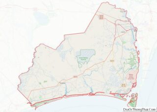
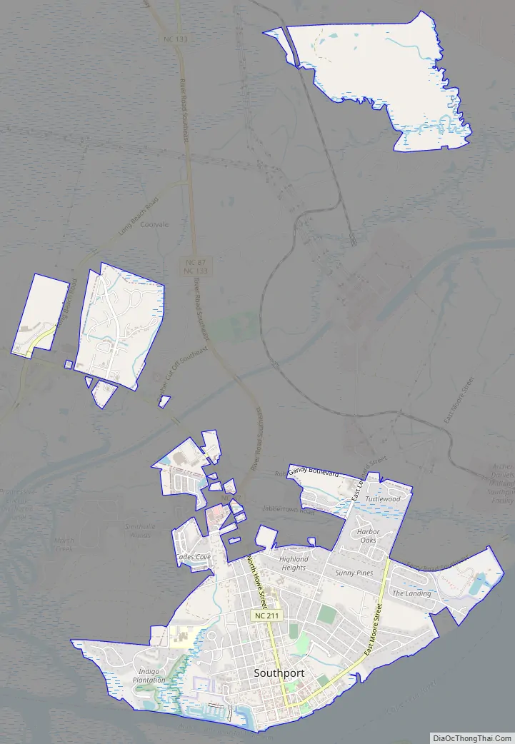
Southport Road Map
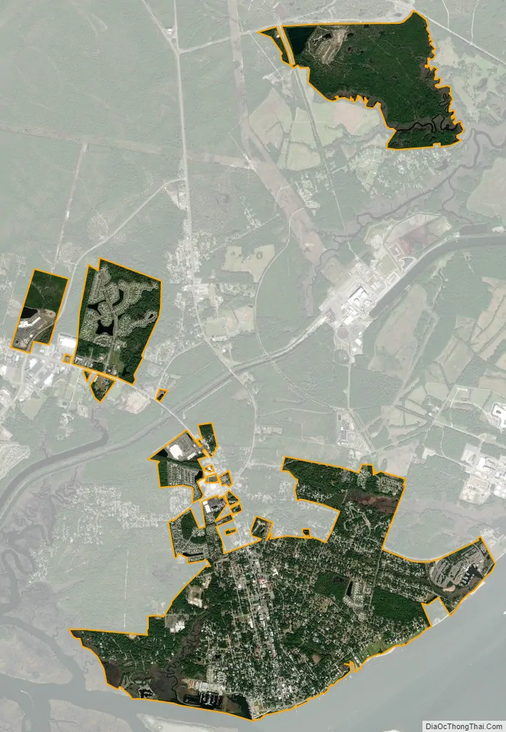
Southport city Satellite Map
Geography
Southport is located in southeastern Brunswick County on the northwest bank of the tidal Cape Fear River, approximately 2 miles (3 km) inland from the Atlantic Ocean. North Carolina Highway 211 enters the city from the north as North Howe Street and travels south to one block north of the waterfront, where it turns east as East Moore Street, leading northeast to the city limits, where it turns east again as Ferry Road on its way to the western terminus of the Southport–Fort Fisher ferry across the Cape Fear River.
According to the United States Census Bureau, the city has a total area of 3.8 square miles (9.8 km), of which 3.7 square miles (9.7 km) is land and 0.04 square miles (0.1 km), or 0.73%, is water.
Climate
Southport has a humid subtropical climate (Cfa). Summers in Southport are very hot and humid while winters are very mild by North Carolina standards. Southport is the warmest place in the state of North Carolina, with a yearly average temperature of 65.0 °F (18.3 °C), with annual temperatures more similar to that of coastal Georgia or the northern Gulf Coast of Florida than the rest of North Carolina.
See also
Map of North Carolina State and its subdivision:- Alamance
- Alexander
- Alleghany
- Anson
- Ashe
- Avery
- Beaufort
- Bertie
- Bladen
- Brunswick
- Buncombe
- Burke
- Cabarrus
- Caldwell
- Camden
- Carteret
- Caswell
- Catawba
- Chatham
- Cherokee
- Chowan
- Clay
- Cleveland
- Columbus
- Craven
- Cumberland
- Currituck
- Dare
- Davidson
- Davie
- Duplin
- Durham
- Edgecombe
- Forsyth
- Franklin
- Gaston
- Gates
- Graham
- Granville
- Greene
- Guilford
- Halifax
- Harnett
- Haywood
- Henderson
- Hertford
- Hoke
- Hyde
- Iredell
- Jackson
- Johnston
- Jones
- Lee
- Lenoir
- Lincoln
- Macon
- Madison
- Martin
- McDowell
- Mecklenburg
- Mitchell
- Montgomery
- Moore
- Nash
- New Hanover
- Northampton
- Onslow
- Orange
- Pamlico
- Pasquotank
- Pender
- Perquimans
- Person
- Pitt
- Polk
- Randolph
- Richmond
- Robeson
- Rockingham
- Rowan
- Rutherford
- Sampson
- Scotland
- Stanly
- Stokes
- Surry
- Swain
- Transylvania
- Tyrrell
- Union
- Vance
- Wake
- Warren
- Washington
- Watauga
- Wayne
- Wilkes
- Wilson
- Yadkin
- Yancey
- Alabama
- Alaska
- Arizona
- Arkansas
- California
- Colorado
- Connecticut
- Delaware
- District of Columbia
- Florida
- Georgia
- Hawaii
- Idaho
- Illinois
- Indiana
- Iowa
- Kansas
- Kentucky
- Louisiana
- Maine
- Maryland
- Massachusetts
- Michigan
- Minnesota
- Mississippi
- Missouri
- Montana
- Nebraska
- Nevada
- New Hampshire
- New Jersey
- New Mexico
- New York
- North Carolina
- North Dakota
- Ohio
- Oklahoma
- Oregon
- Pennsylvania
- Rhode Island
- South Carolina
- South Dakota
- Tennessee
- Texas
- Utah
- Vermont
- Virginia
- Washington
- West Virginia
- Wisconsin
- Wyoming