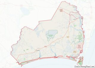
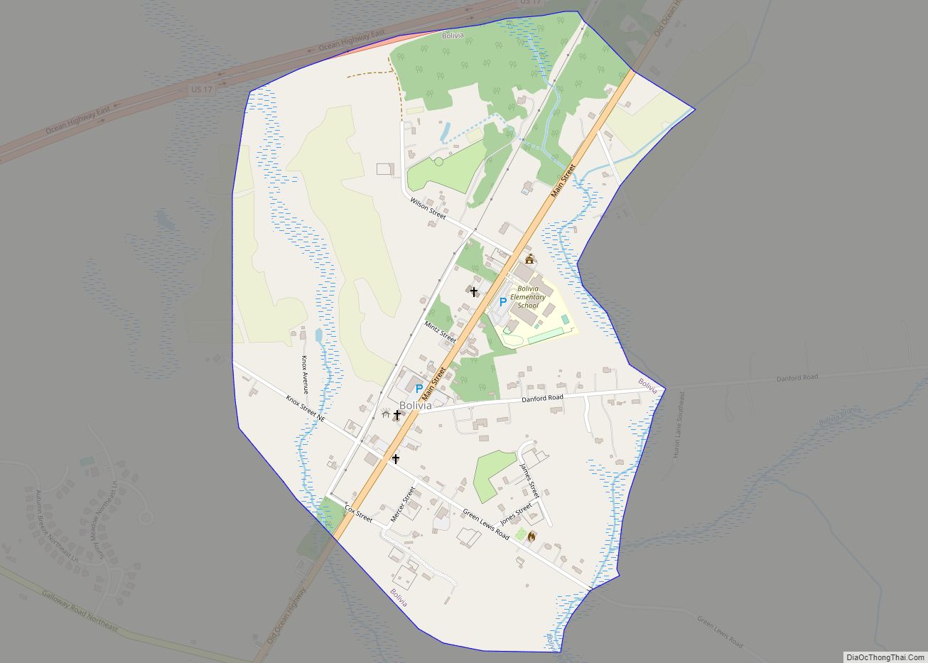
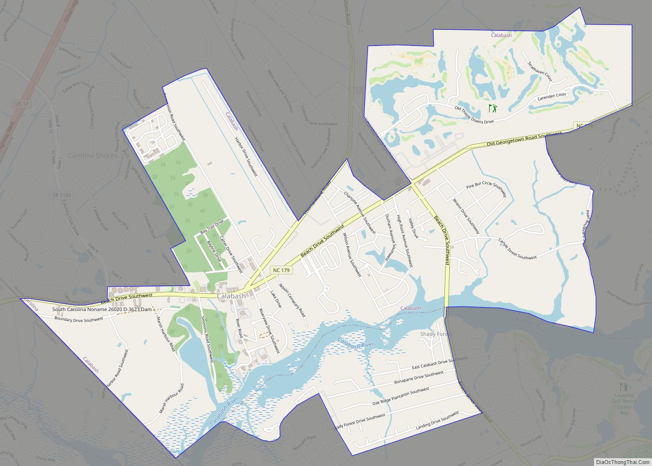
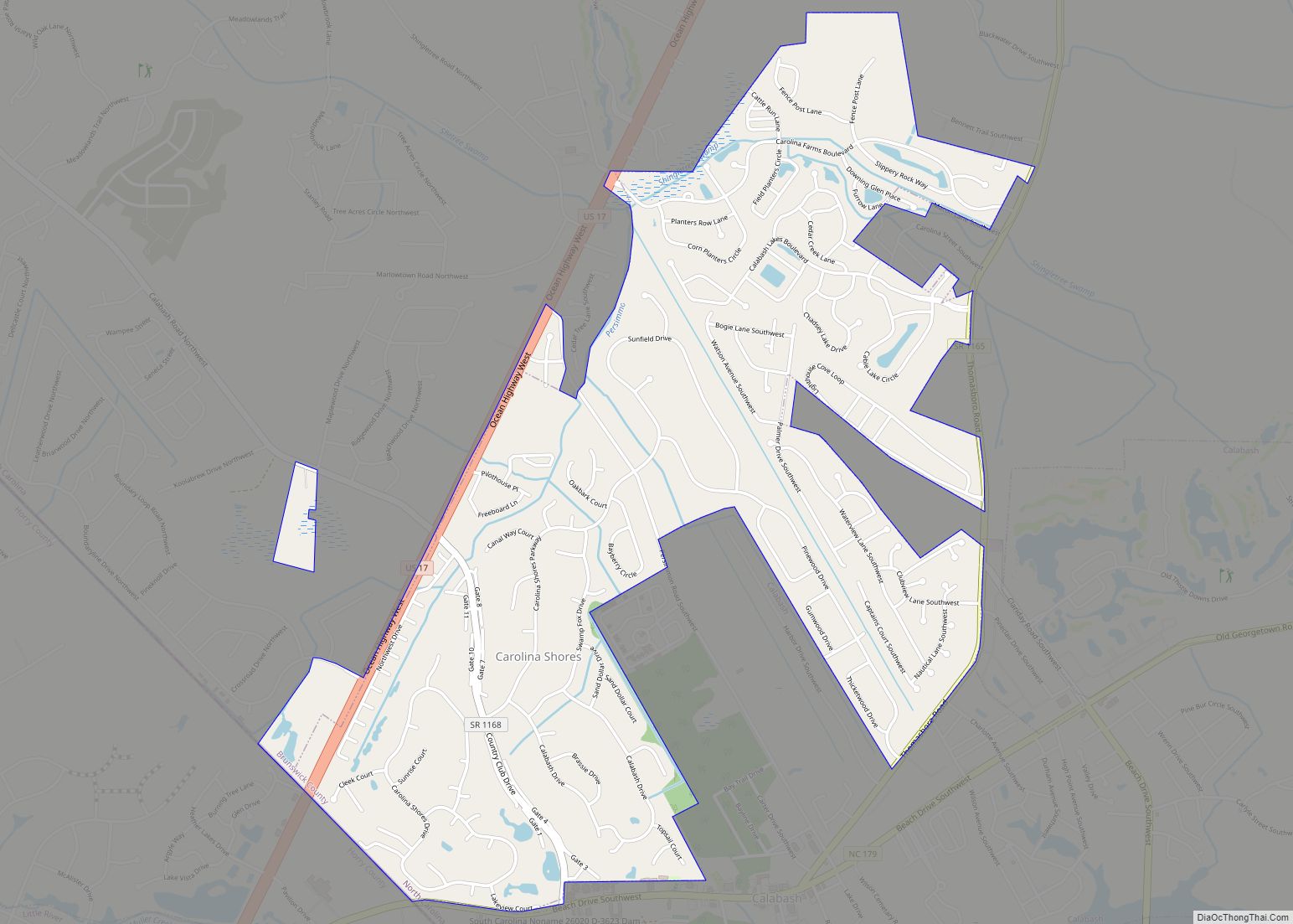
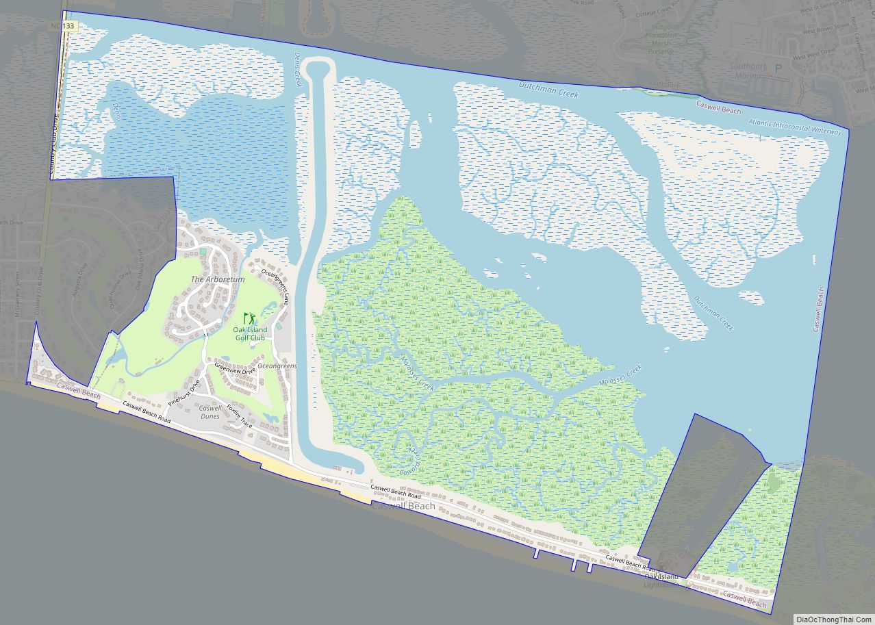
Oak Island is a seaside town located in the southeastern corner of North Carolina, United States. Part of Brunswick County, the major portion of the town is on Oak Island which it shares with Caswell Beach. Founded in 1999 as the result of the consolidation of two existing towns, Oak Island’s main industry is tourism. Per the 2020 census, the Town has a permanent population of 8,396 while its summer population is near 50,000. It along with the town of Caswell Beach is considered to be a part of the Myrtle Beach metropolitan area.
| Name: | Oak Island town |
|---|---|
| LSAD Code: | 43 |
| LSAD Description: | town (suffix) |
| State: | North Carolina |
| County: | Brunswick County |
| Elevation: | 14 ft (4 m) |
| Total Area: | 20.63 sq mi (53.43 km²) |
| Land Area: | 19.27 sq mi (49.91 km²) |
| Water Area: | 1.36 sq mi (3.52 km²) |
| Total Population: | 8,396 |
| Population Density: | 435.66/sq mi (168.21/km²) |
| ZIP code: | 28465 |
| FIPS code: | 3748345 |
| GNISfeature ID: | 1848160 |
| Website: | www.oakislandnc.com |
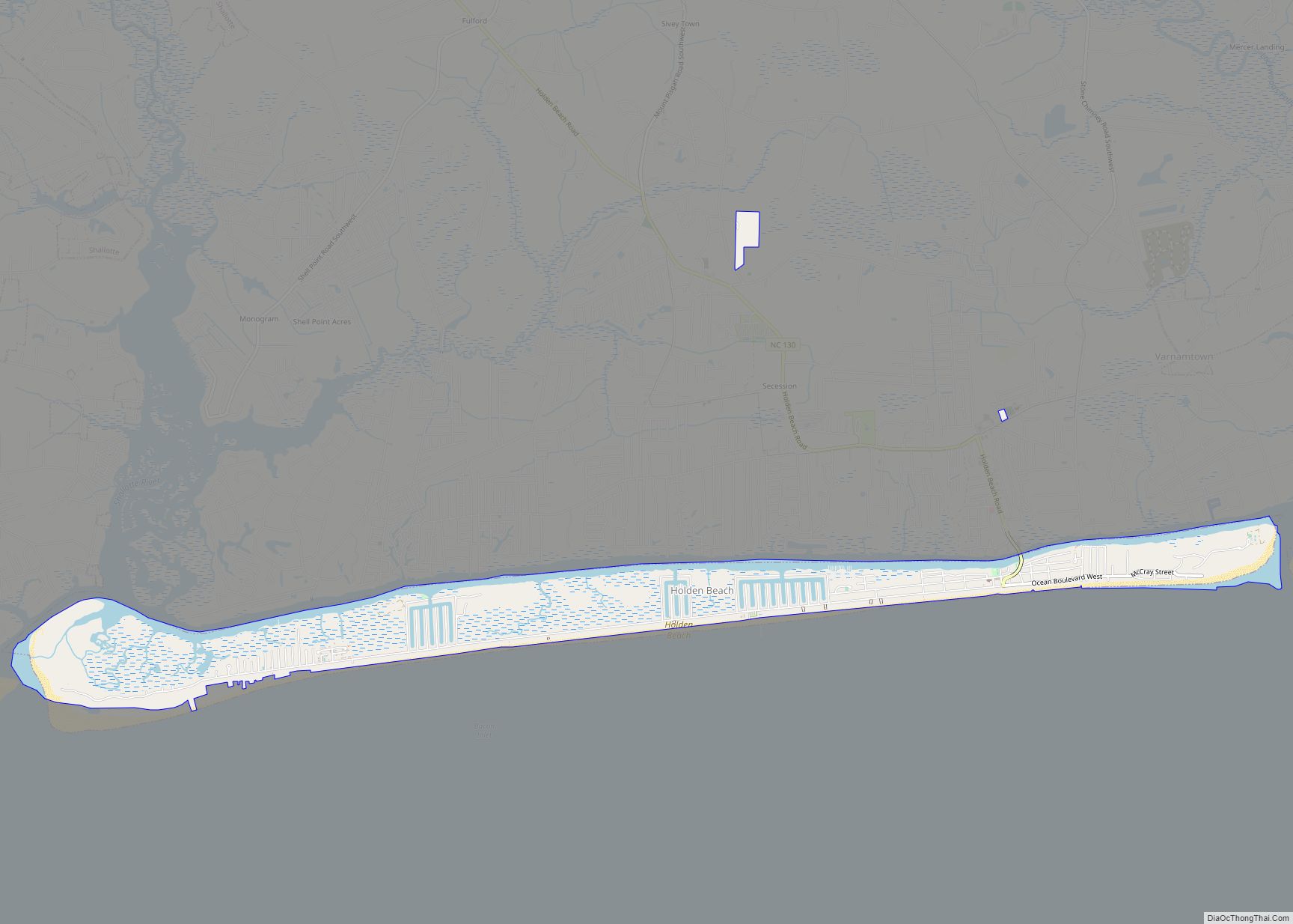
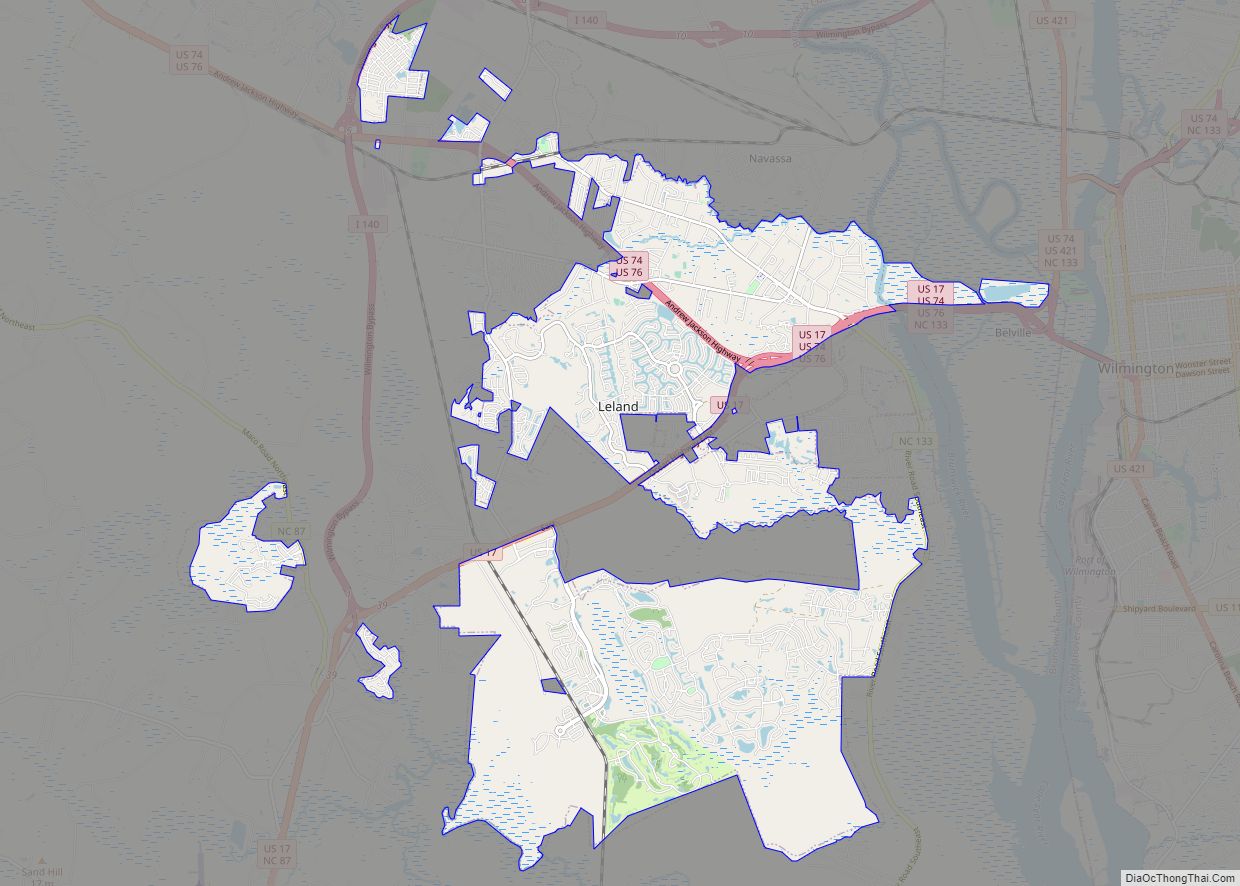
Online Interactive Map
Click on ![]() to view map in "full screen" mode.
to view map in "full screen" mode.
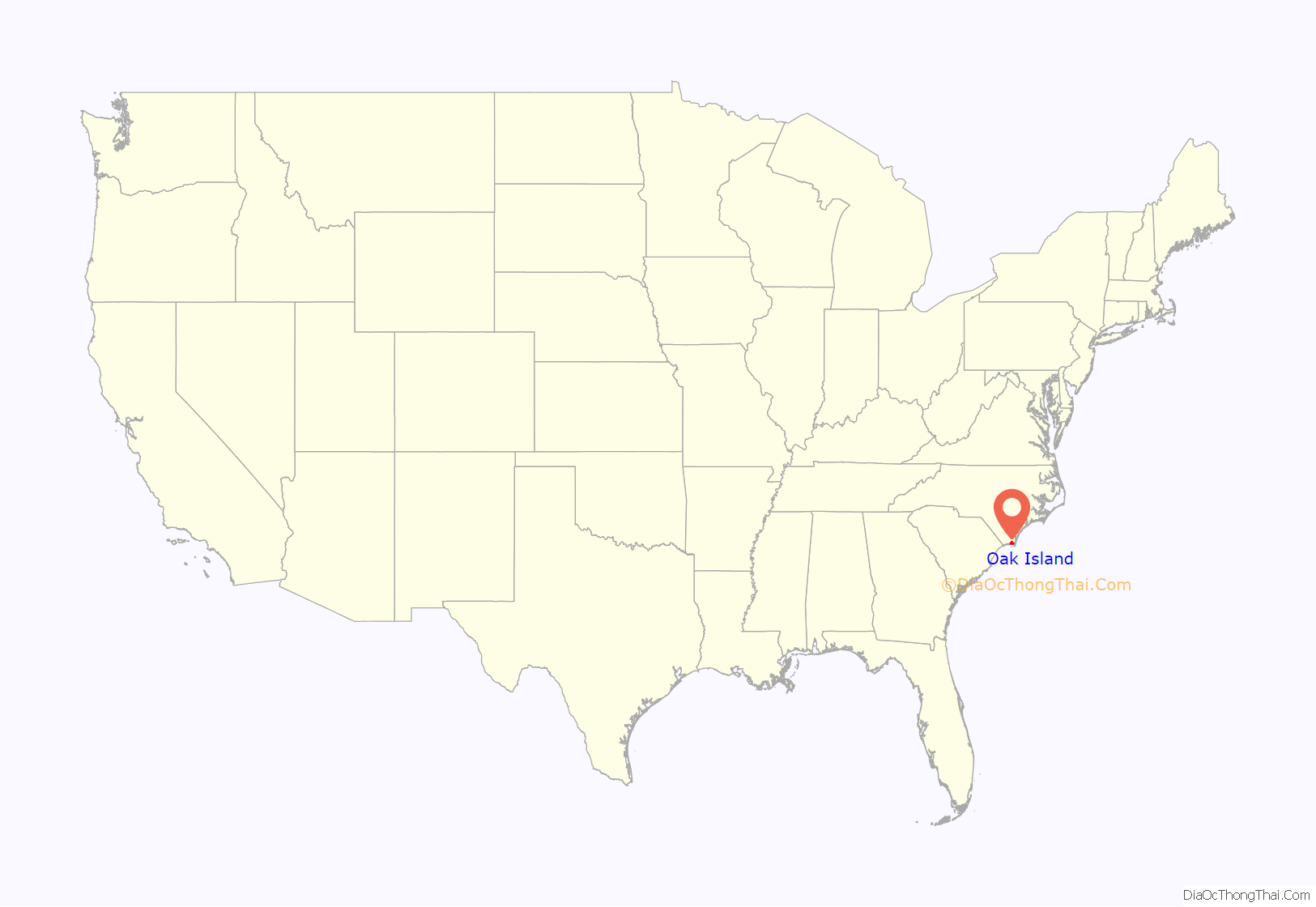
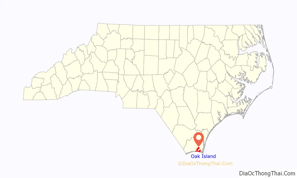
Oak Island location map. Where is Oak Island town?
History
Oak Island, on which much of the town sits, has been inhabited since the early 19th century when Fort Caswell was constructed on its east end in 1838. The island developed slowly, but by the late 1930s it began attracting people from nearby Southport with fox hunting popular in the areas along the Intracoastal Waterway (ICW). In 1954, Hurricane Hazel struck, leaving only five buildings standing on the west end of the island The island recovered quickly however, and the towns of Long Beach and Yaupon Beach were incorporated in the late 1990s Along with this increasing level of development came strident demands for a reliable crossing of the ICW to provide access to the island.
When the ICW was completed in the late 1930s, a swingbridge initially provided this service. Destroyed by a barge strike in 1971, construction of the high rise Barbee Bridge began almost immediately; it opened for traffic in 1975 (interim service included a ferry and pontoon bridge). A second high rise structure, the Swain’s Cut Bridge, was built over the ICW to the island in 2010. In 1999, Long Beach and Yaupon Beach, decided to consolidate into the Town of Oak Island, and while Caswell Beach considered the matter, it opted to stay independent. Immediately after the new town got up and running, it began to either incorporate or obtain Extra Territorial Jurisdiction (ETJ) on properties located to its north on the mainland.
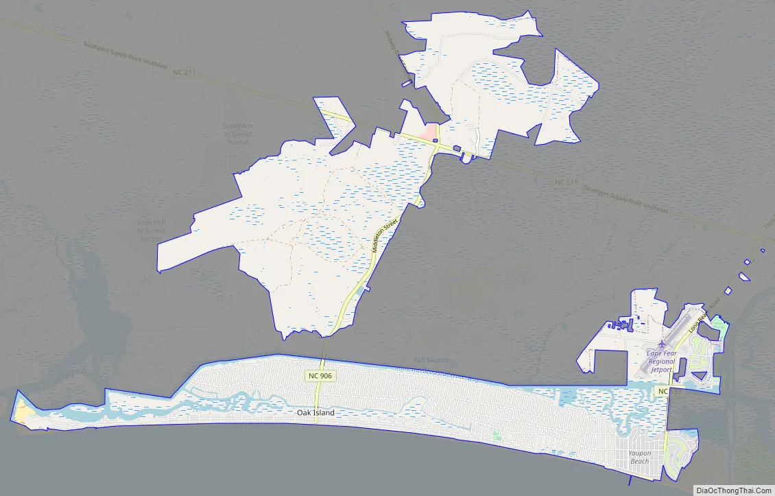
Oak Island Road Map
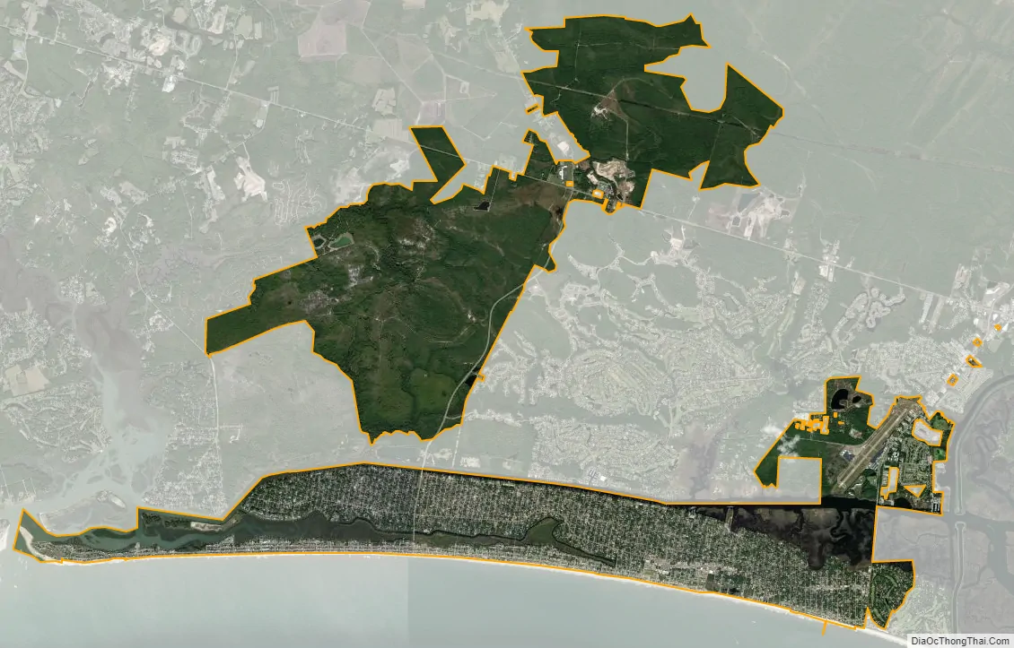
Oak Island city Satellite Map
Geography
Oak Island is located in southeastern Brunswick County at 33°54′59″N 78°7′50″W / 33.91639°N 78.13056°W / 33.91639; -78.13056 (33.916262, -78.130468). According to the United States Census Bureau, the town has a total area of 19.9 square miles (51.6 km), of which 18.5 square miles (48.0 km) is land and 1.4 square miles (3.6 km) (7.02%) is water. It is bordered to the south by the Atlantic Ocean, to the east by Caswell Beach, to the north across the ICW in part by the town of St. James, and to the west by the town of Holden Beach across the Lockwood Folly Inlet. Additions to the town in the 20 years since it was formed in 1999, located on the mainland, consist of the following:
•Property on both sides of Long Beach Rd. (NC 133) to include the Cape Fear Regional Jetport, and South Harbour Village with its nine-hole golf course and marina.
• Land mostly west of Middleton Blvd. (NC 906) either planned for or under development, the largest of which was the ill-fated Seawatch complex (1738 of the planned 4171 lots are in Oak Island).
• Parcels north of Southport-Supply Rd. (NC 211), the most prominent being Midway Commons Shopping Center.
See also
Map of North Carolina State and its subdivision:- Alamance
- Alexander
- Alleghany
- Anson
- Ashe
- Avery
- Beaufort
- Bertie
- Bladen
- Brunswick
- Buncombe
- Burke
- Cabarrus
- Caldwell
- Camden
- Carteret
- Caswell
- Catawba
- Chatham
- Cherokee
- Chowan
- Clay
- Cleveland
- Columbus
- Craven
- Cumberland
- Currituck
- Dare
- Davidson
- Davie
- Duplin
- Durham
- Edgecombe
- Forsyth
- Franklin
- Gaston
- Gates
- Graham
- Granville
- Greene
- Guilford
- Halifax
- Harnett
- Haywood
- Henderson
- Hertford
- Hoke
- Hyde
- Iredell
- Jackson
- Johnston
- Jones
- Lee
- Lenoir
- Lincoln
- Macon
- Madison
- Martin
- McDowell
- Mecklenburg
- Mitchell
- Montgomery
- Moore
- Nash
- New Hanover
- Northampton
- Onslow
- Orange
- Pamlico
- Pasquotank
- Pender
- Perquimans
- Person
- Pitt
- Polk
- Randolph
- Richmond
- Robeson
- Rockingham
- Rowan
- Rutherford
- Sampson
- Scotland
- Stanly
- Stokes
- Surry
- Swain
- Transylvania
- Tyrrell
- Union
- Vance
- Wake
- Warren
- Washington
- Watauga
- Wayne
- Wilkes
- Wilson
- Yadkin
- Yancey
- Alabama
- Alaska
- Arizona
- Arkansas
- California
- Colorado
- Connecticut
- Delaware
- District of Columbia
- Florida
- Georgia
- Hawaii
- Idaho
- Illinois
- Indiana
- Iowa
- Kansas
- Kentucky
- Louisiana
- Maine
- Maryland
- Massachusetts
- Michigan
- Minnesota
- Mississippi
- Missouri
- Montana
- Nebraska
- Nevada
- New Hampshire
- New Jersey
- New Mexico
- New York
- North Carolina
- North Dakota
- Ohio
- Oklahoma
- Oregon
- Pennsylvania
- Rhode Island
- South Carolina
- South Dakota
- Tennessee
- Texas
- Utah
- Vermont
- Virginia
- Washington
- West Virginia
- Wisconsin
- Wyoming