Belville is a town in Brunswick County, North Carolina, United States. The population was 1,936 at the 2010 census, up from 285 in 2000. It is part of the Wilmington, NC metropolitan area.
| Name: | Belville town |
|---|---|
| LSAD Code: | 43 |
| LSAD Description: | town (suffix) |
| State: | North Carolina |
| County: | Brunswick County |
| Elevation: | 25 ft (8 m) |
| Total Area: | 1.99 sq mi (5.15 km²) |
| Land Area: | 1.70 sq mi (4.41 km²) |
| Water Area: | 0.28 sq mi (0.73 km²) |
| Total Population: | 2,406 |
| Population Density: | 1,411.97/sq mi (545.03/km²) |
| ZIP code: | 28451 |
| FIPS code: | 3704950 |
| GNISfeature ID: | 1007064 |
| Website: | www.townofbelville.com |
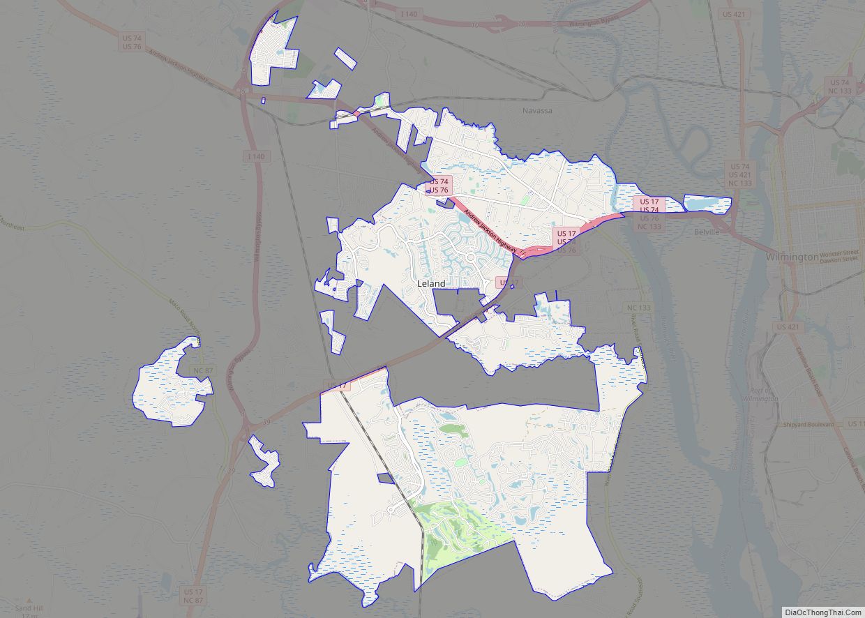
Online Interactive Map
Click on ![]() to view map in "full screen" mode.
to view map in "full screen" mode.
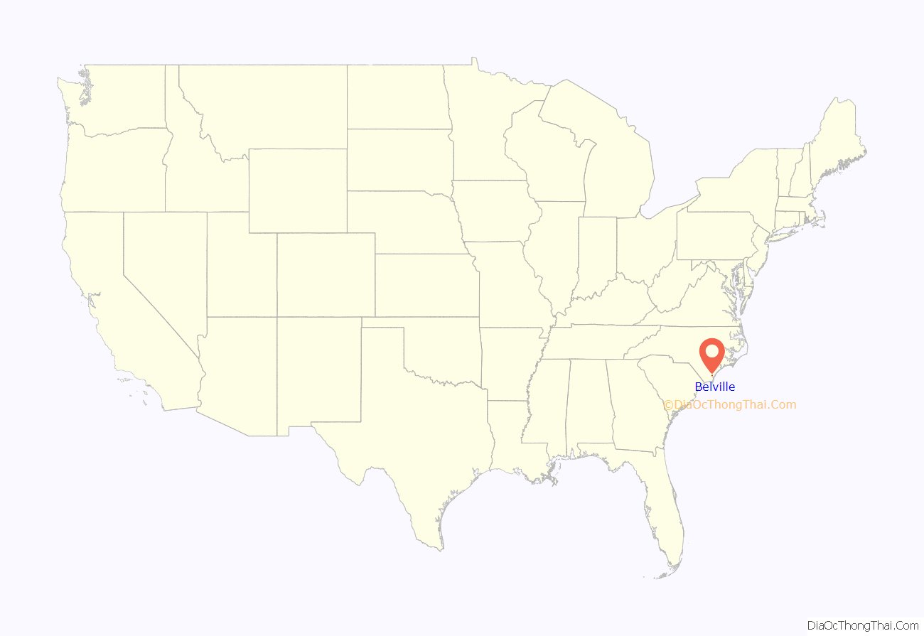
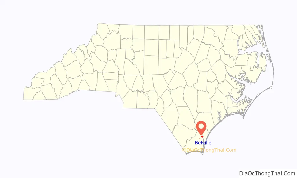
Belville location map. Where is Belville town?
History
Belville was incorporated as a town in 1977.
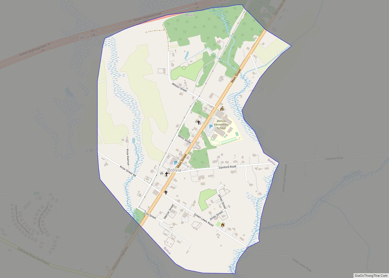
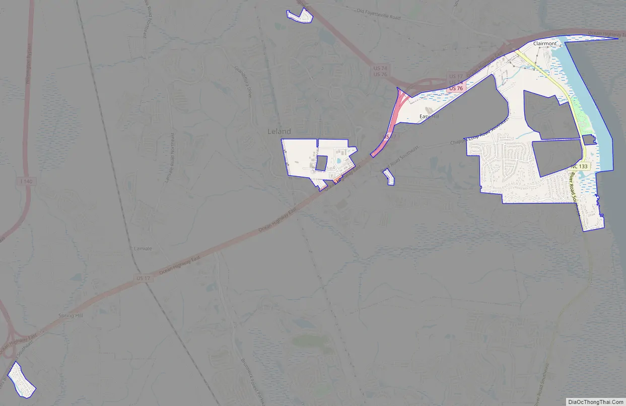
Belville Road Map
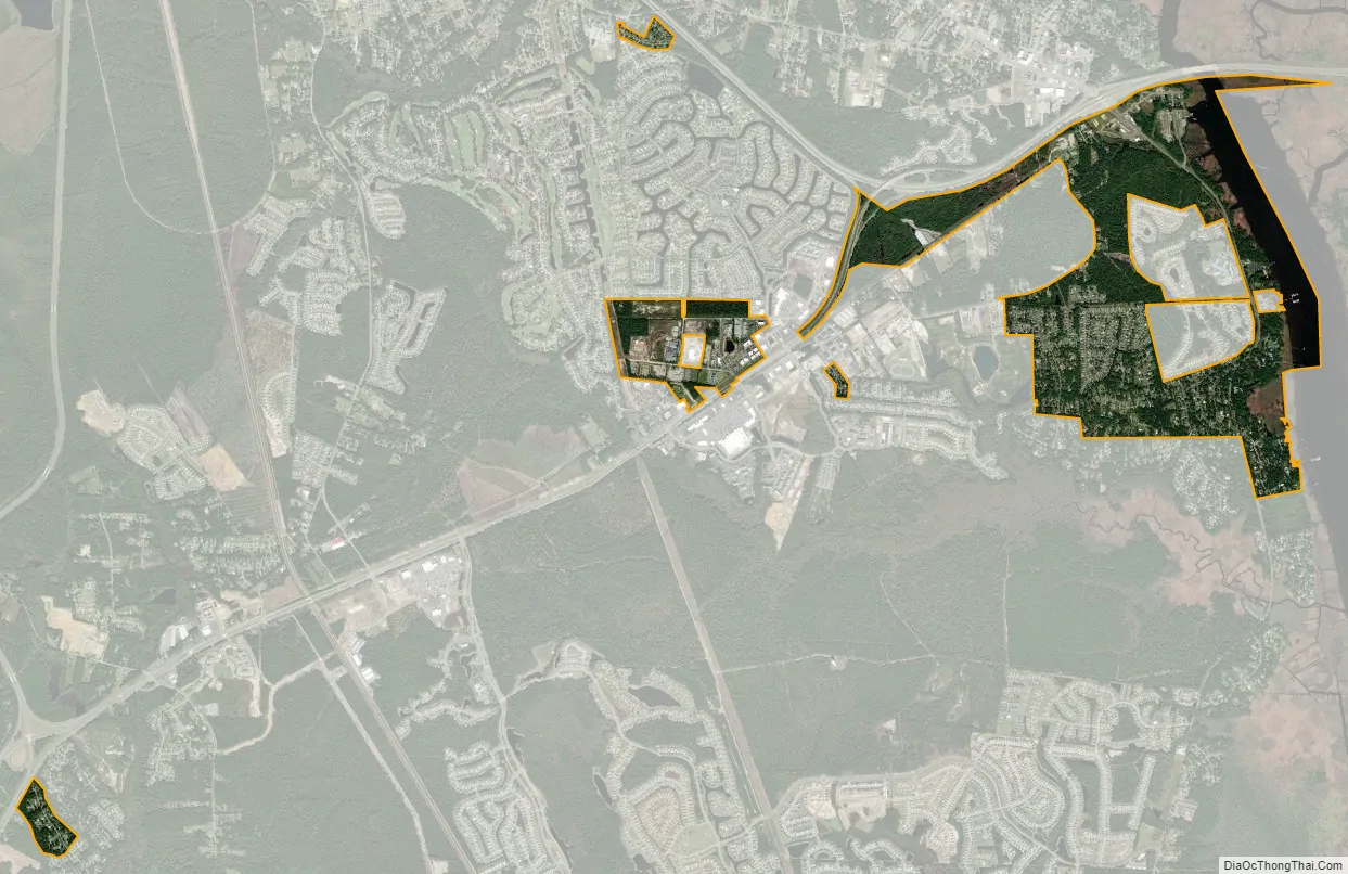
Belville city Satellite Map
Geography
Belville is located in northeastern Brunswick County at 34°13′9″N 77°59′43″W / 34.21917°N 77.99528°W / 34.21917; -77.99528 (34.219187, -77.995396). It is directly across the Brunswick River and Cape Fear River from downtown Wilmington. U.S. Routes 17, 74 and 76, traveling concurrently as the Andrew Jackson Highway/Ocean Highway, form the northern edge of the town and cross the rivers from there into Wilmington.
According to the United States Census Bureau, the town has a total area of 1.9 square miles (4.8 km), of which 1.7 square miles (4.3 km) is land and 0.19 square miles (0.5 km) (10.45%) is water.
See also
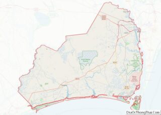
Map of North Carolina State and its subdivision:- Alamance
- Alexander
- Alleghany
- Anson
- Ashe
- Avery
- Beaufort
- Bertie
- Bladen
- Brunswick
- Buncombe
- Burke
- Cabarrus
- Caldwell
- Camden
- Carteret
- Caswell
- Catawba
- Chatham
- Cherokee
- Chowan
- Clay
- Cleveland
- Columbus
- Craven
- Cumberland
- Currituck
- Dare
- Davidson
- Davie
- Duplin
- Durham
- Edgecombe
- Forsyth
- Franklin
- Gaston
- Gates
- Graham
- Granville
- Greene
- Guilford
- Halifax
- Harnett
- Haywood
- Henderson
- Hertford
- Hoke
- Hyde
- Iredell
- Jackson
- Johnston
- Jones
- Lee
- Lenoir
- Lincoln
- Macon
- Madison
- Martin
- McDowell
- Mecklenburg
- Mitchell
- Montgomery
- Moore
- Nash
- New Hanover
- Northampton
- Onslow
- Orange
- Pamlico
- Pasquotank
- Pender
- Perquimans
- Person
- Pitt
- Polk
- Randolph
- Richmond
- Robeson
- Rockingham
- Rowan
- Rutherford
- Sampson
- Scotland
- Stanly
- Stokes
- Surry
- Swain
- Transylvania
- Tyrrell
- Union
- Vance
- Wake
- Warren
- Washington
- Watauga
- Wayne
- Wilkes
- Wilson
- Yadkin
- Yancey
- Alabama
- Alaska
- Arizona
- Arkansas
- California
- Colorado
- Connecticut
- Delaware
- District of Columbia
- Florida
- Georgia
- Hawaii
- Idaho
- Illinois
- Indiana
- Iowa
- Kansas
- Kentucky
- Louisiana
- Maine
- Maryland
- Massachusetts
- Michigan
- Minnesota
- Mississippi
- Missouri
- Montana
- Nebraska
- Nevada
- New Hampshire
- New Jersey
- New Mexico
- New York
- North Carolina
- North Dakota
- Ohio
- Oklahoma
- Oregon
- Pennsylvania
- Rhode Island
- South Carolina
- South Dakota
- Tennessee
- Texas
- Utah
- Vermont
- Virginia
- Washington
- West Virginia
- Wisconsin
- Wyoming