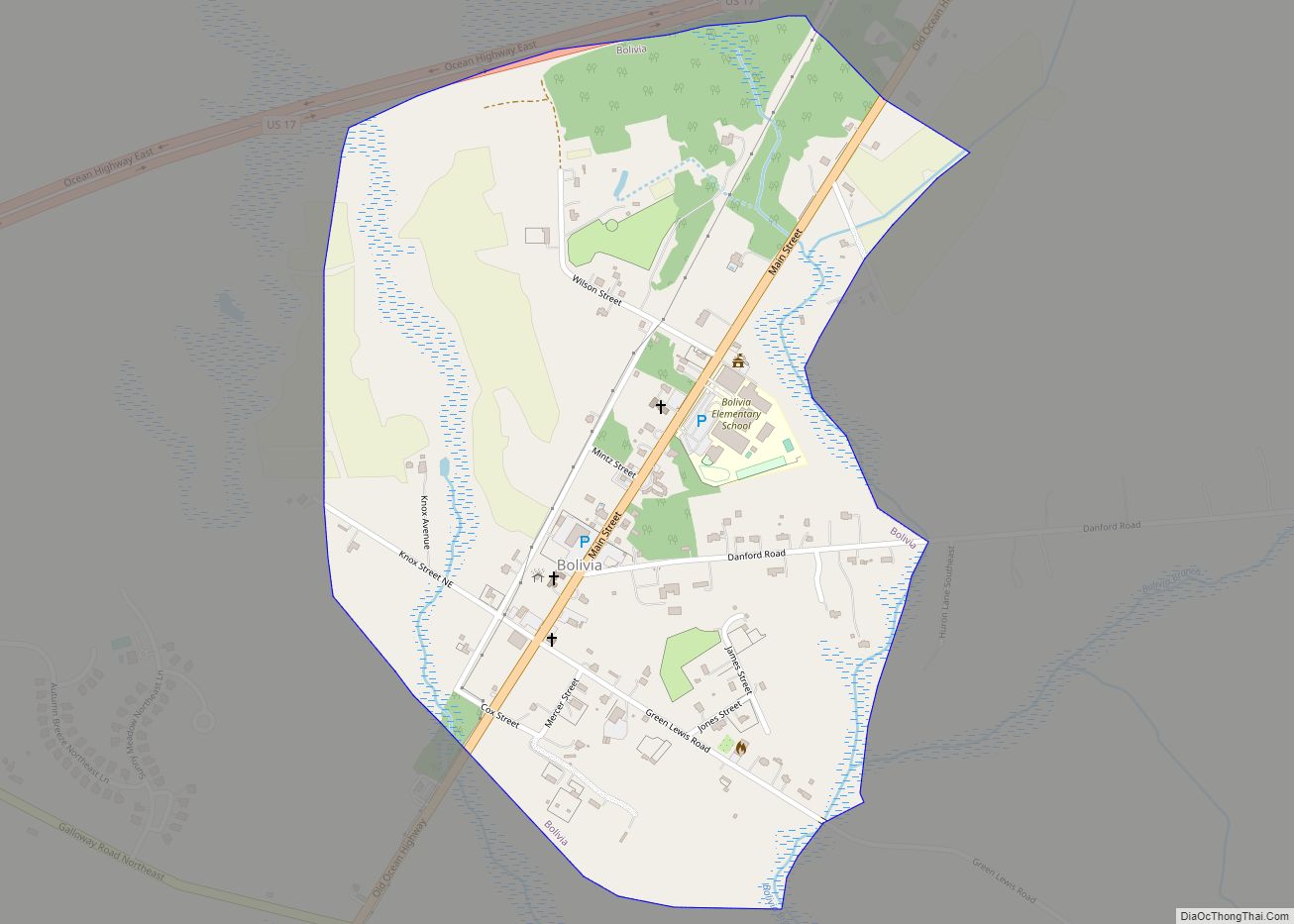
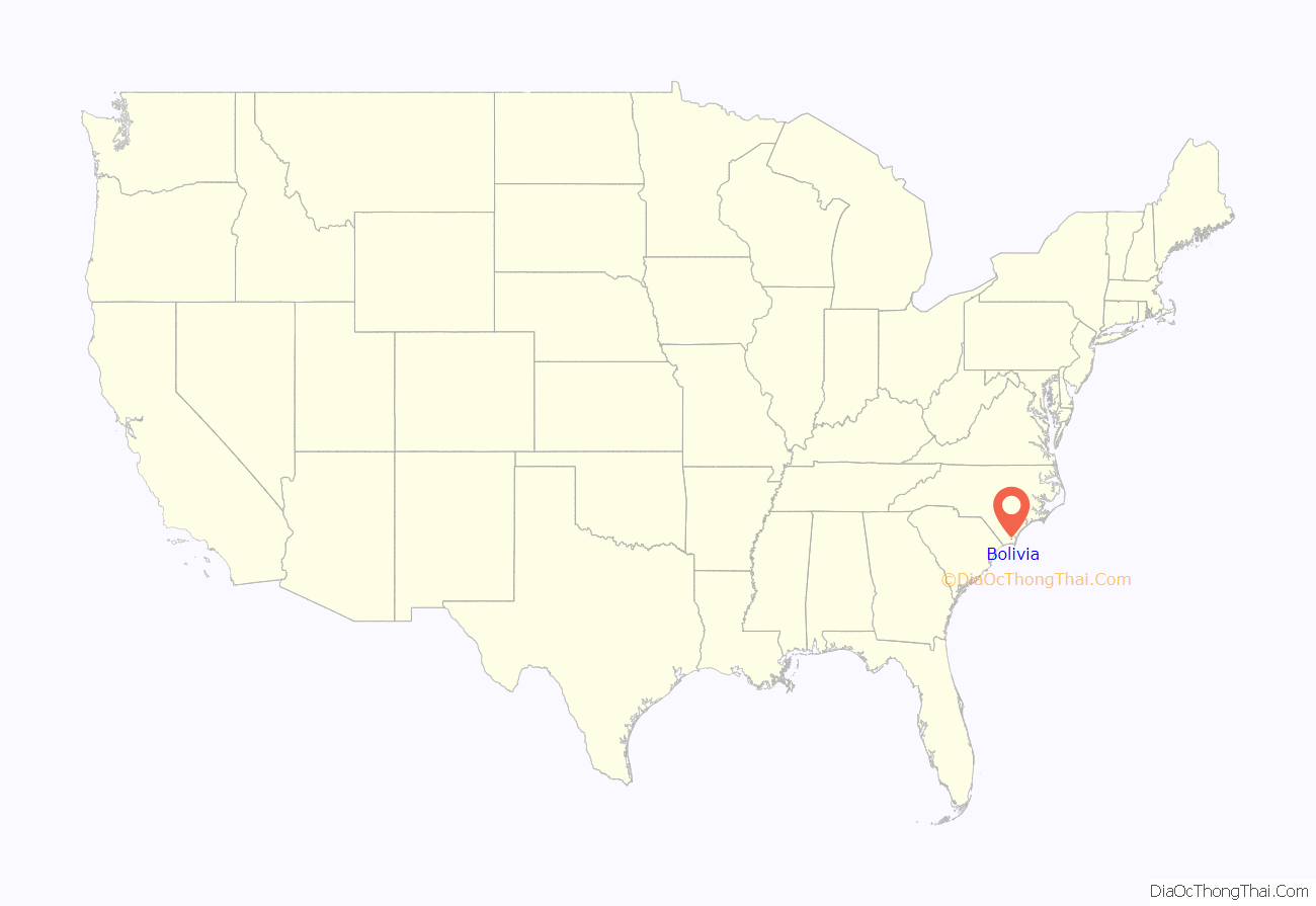
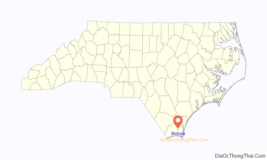
Bolivia is a town in Brunswick County, North Carolina, United States. The population was 143 at the 2010 census. It is the county seat of Brunswick County.
| Name: | Bolivia town |
|---|---|
| LSAD Code: | 43 |
| LSAD Description: | town (suffix) |
| State: | North Carolina |
| County: | Brunswick County |
| Elevation: | 43 ft (13 m) |
| Total Area: | 0.64 sq mi (1.65 km²) |
| Land Area: | 0.64 sq mi (1.65 km²) |
| Water Area: | 0.00 sq mi (0.00 km²) |
| Total Population: | 149 |
| Population Density: | 234.28/sq mi (90.42/km²) |
| ZIP code: | 28422 |
| FIPS code: | 3706820 |
| GNISfeature ID: | 0981697 |
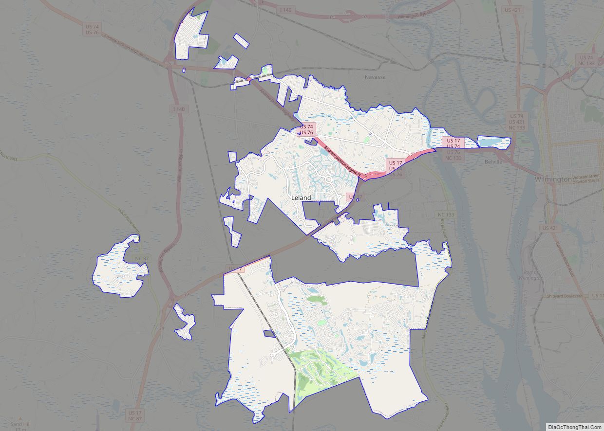
Online Interactive Map
Click on ![]() to view map in "full screen" mode.
to view map in "full screen" mode.
Bolivia location map. Where is Bolivia town?
History
The town was settled by European Americans in the 1890s and was incorporated in 1911. One theory about the name is that many boxes being shipped from the area said “Bolivia“, referring to the country in South America, and the people liked that name.
A post office called Bolivia has been in operation since 1892. The town is named after Bolivia, in South America. Bolivia was incorporated as a town in 1911.
National Airlines Flight 2511 blew up over Bolivia on January 6, 1960. The DC-6B was destroyed by an explosion of dynamite.
When U.S. 17 was widened to four lanes, a bypass was constructed around Bolivia; intended to improve traffic, the highway drew away visitors and retail customers, causing an economic decline in the town. In 1977, the county decided to move the county seat of Brunswick County from Southport to Bolivia. Being a center of government operations stimulated other businesses and had helped Bolivia build its businesses.
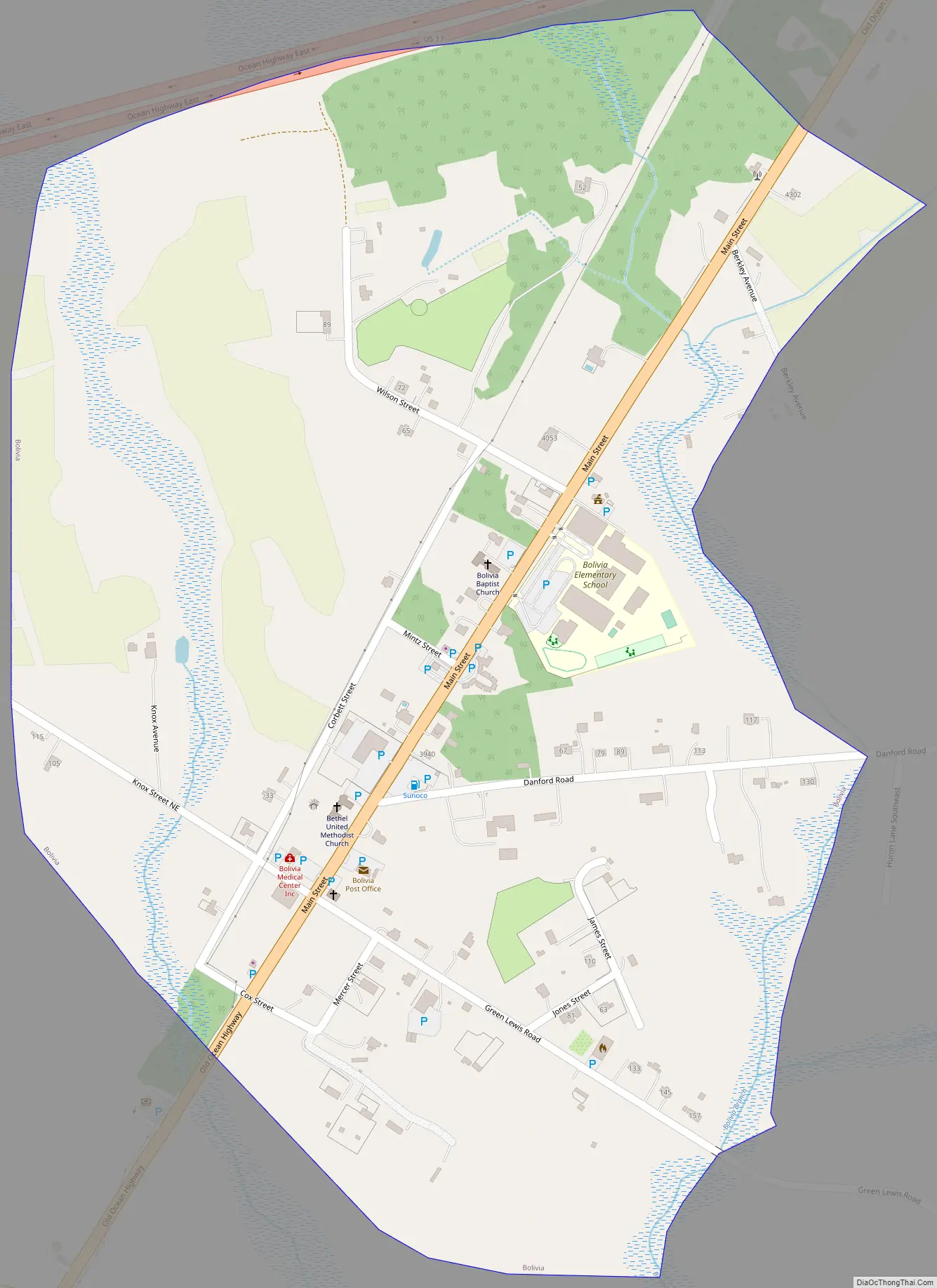
Bolivia Road Map
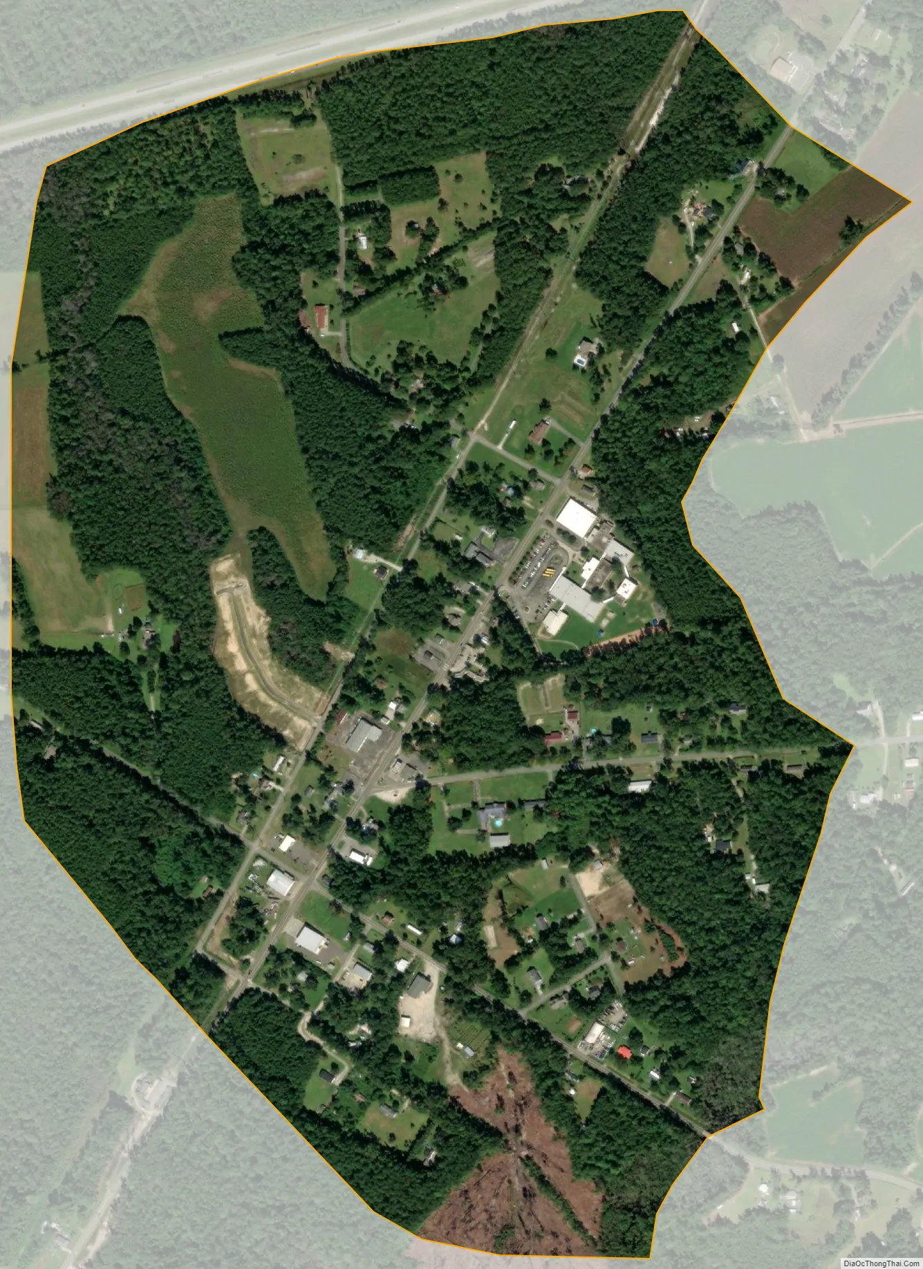
Bolivia city Satellite Map
Geography
Bolivia is located in east-central Brunswick County at 34°4′9″N 78°8′52″W / 34.06917°N 78.14778°W / 34.06917; -78.14778 (34.069119, -78.147755). Old U.S. Route 17 (Old Ocean Highway) passes through the center of the town, while the current U.S. Route 17 (Ocean Highway) bypasses it to the northwest. US-17 leads 18 miles (29 km) northeast to Wilmington and 53 miles (85 km) southwest to Myrtle Beach, South Carolina.
According to the United States Census Bureau, the town of Bolivia has a total area of 0.62 square miles (1.6 km), all land.
See also
Map of North Carolina State and its subdivision:- Alamance
- Alexander
- Alleghany
- Anson
- Ashe
- Avery
- Beaufort
- Bertie
- Bladen
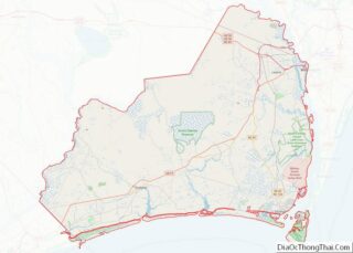
- Brunswick
- Buncombe
- Burke
- Cabarrus
- Caldwell
- Camden
- Carteret
- Caswell
- Catawba
- Chatham
- Cherokee
- Chowan
- Clay
- Cleveland
- Columbus
- Craven
- Cumberland
- Currituck
- Dare
- Davidson
- Davie
- Duplin
- Durham
- Edgecombe
- Forsyth
- Franklin
- Gaston
- Gates
- Graham
- Granville
- Greene
- Guilford
- Halifax
- Harnett
- Haywood
- Henderson
- Hertford
- Hoke
- Hyde
- Iredell
- Jackson
- Johnston
- Jones
- Lee
- Lenoir
- Lincoln
- Macon
- Madison
- Martin
- McDowell
- Mecklenburg
- Mitchell
- Montgomery
- Moore
- Nash
- New Hanover
- Northampton
- Onslow
- Orange
- Pamlico
- Pasquotank
- Pender
- Perquimans
- Person
- Pitt
- Polk
- Randolph
- Richmond
- Robeson
- Rockingham
- Rowan
- Rutherford
- Sampson
- Scotland
- Stanly
- Stokes
- Surry
- Swain
- Transylvania
- Tyrrell
- Union
- Vance
- Wake
- Warren
- Washington
- Watauga
- Wayne
- Wilkes
- Wilson
- Yadkin
- Yancey
- Alabama
- Alaska
- Arizona
- Arkansas
- California
- Colorado
- Connecticut
- Delaware
- District of Columbia
- Florida
- Georgia
- Hawaii
- Idaho
- Illinois
- Indiana
- Iowa
- Kansas
- Kentucky
- Louisiana
- Maine
- Maryland
- Massachusetts
- Michigan
- Minnesota
- Mississippi
- Missouri
- Montana
- Nebraska
- Nevada
- New Hampshire
- New Jersey
- New Mexico
- New York
- North Carolina
- North Dakota
- Ohio
- Oklahoma
- Oregon
- Pennsylvania
- Rhode Island
- South Carolina
- South Dakota
- Tennessee
- Texas
- Utah
- Vermont
- Virginia
- Washington
- West Virginia
- Wisconsin
- Wyoming