Calabash is a small fishing town in Brunswick County, North Carolina, United States. The population was 1,786 at the 2010 census, up from 711 in 2000. It prides itself on being known as the “Seafood Capital of the World” because of the town’s seafood restaurants.
Calabash is part of the Myrtle Beach Metropolitan Area.
| Name: | Calabash town |
|---|---|
| LSAD Code: | 43 |
| LSAD Description: | town (suffix) |
| State: | North Carolina |
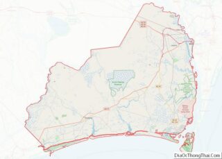
| County: | Brunswick County |
| Elevation: | 49 ft (15 m) |
| Total Area: | 4.87 sq mi (12.62 km²) |
| Land Area: | 4.53 sq mi (11.73 km²) |
| Water Area: | 0.34 sq mi (0.88 km²) |
| Total Population: | 2,011 |
| Population Density: | 443.93/sq mi (171.40/km²) |
| ZIP code: | 28467 |
| FIPS code: | 3709540 |
| GNISfeature ID: | 1019469 |
| Website: | www.townofcalabash.net |
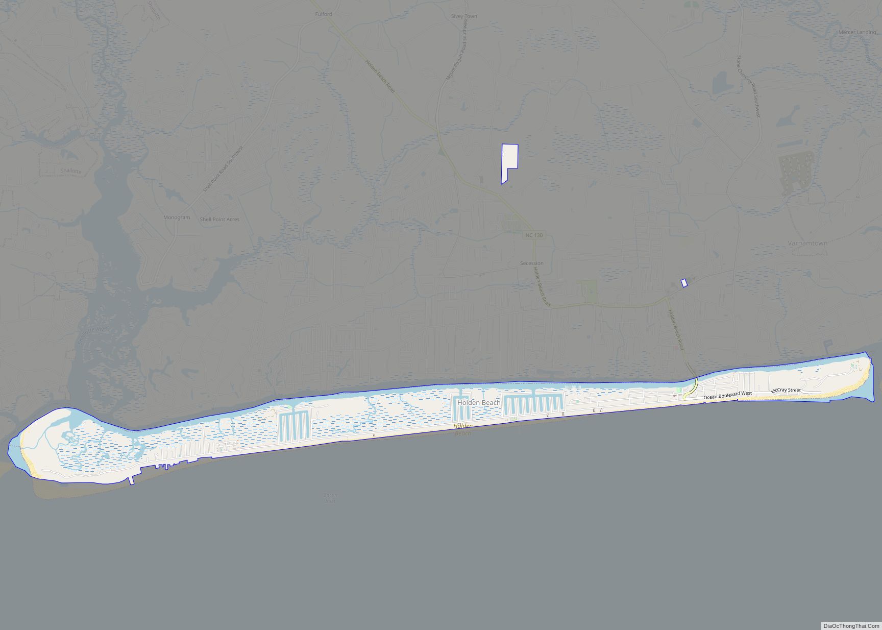
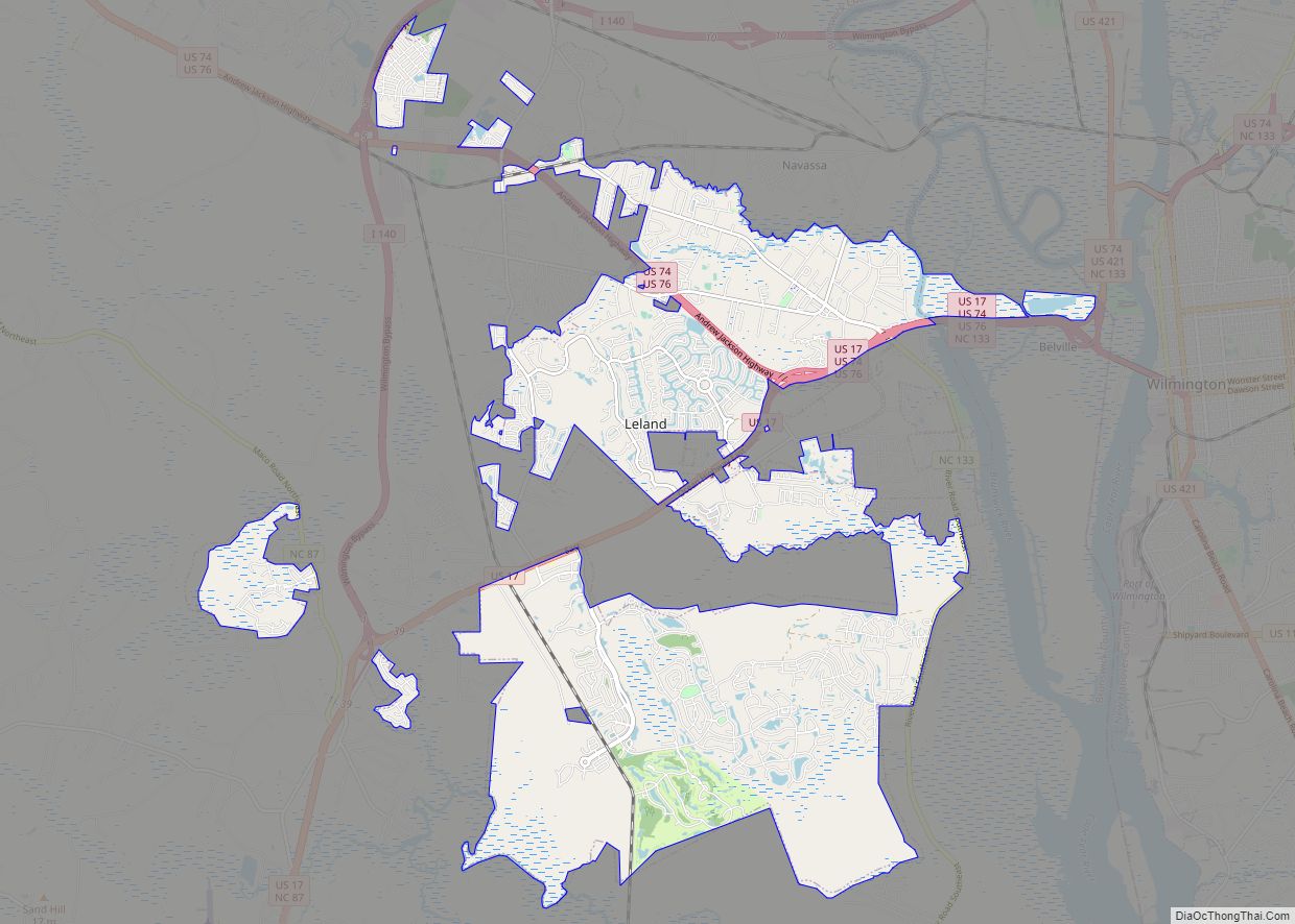
Online Interactive Map
Click on ![]() to view map in "full screen" mode.
to view map in "full screen" mode.
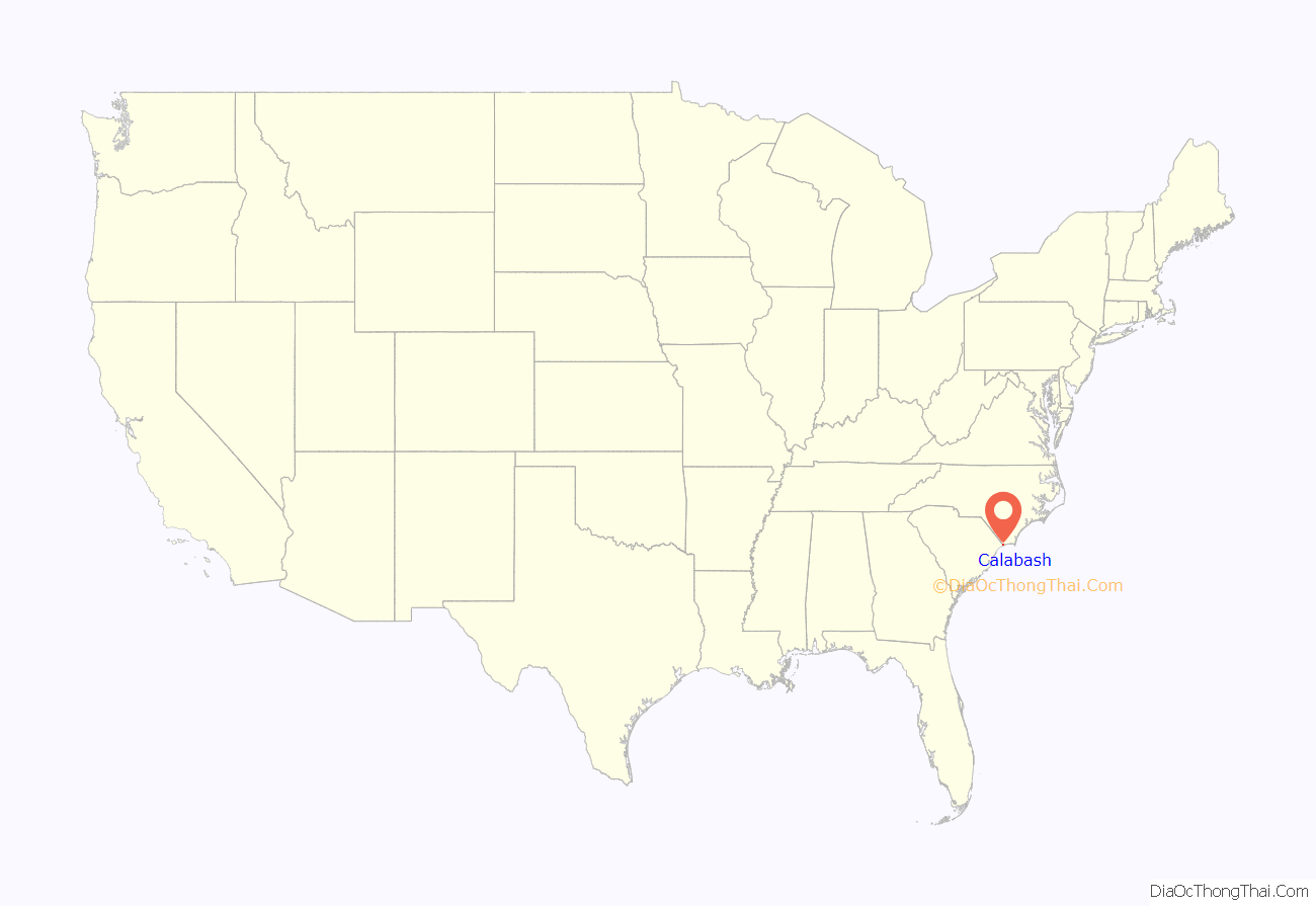
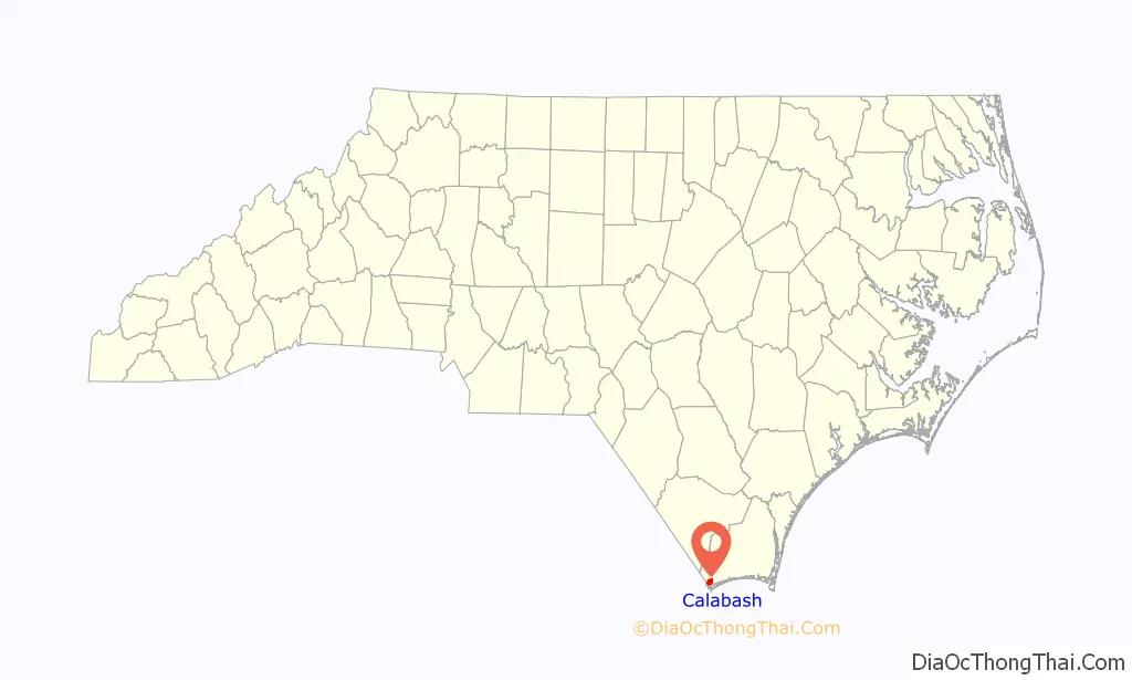
Calabash location map. Where is Calabash town?
History
Calabash was named after the gourds that grew in the region, which were used for drinking well water. Since the 1930s, Calabash has been known for its distinctive style of fried seafood, which has come to be known as “Calabash Style.” Calabash style buffets are common in many eastern Carolina coastal towns. Myrtle Beach, South Carolina, is home to a large number of these restaurants, as the city is just 25 miles (40 km) from Calabash.
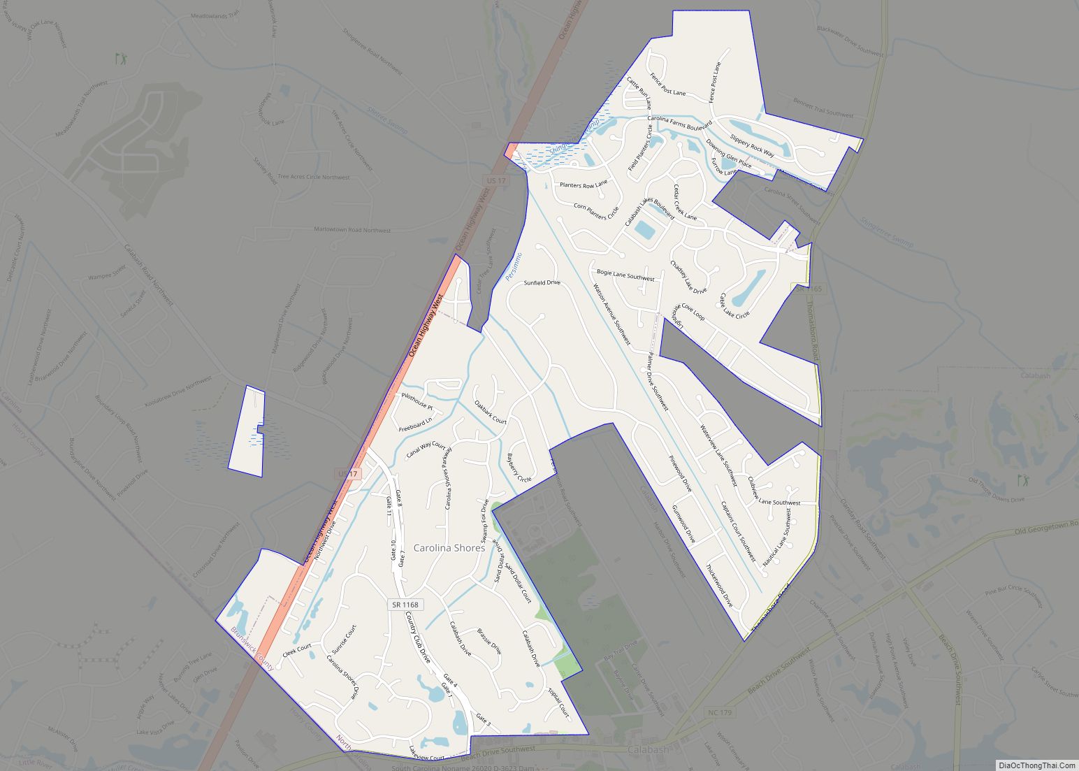
In 1998, a large portion of the town of Calabash split to form the town of Carolina Shores. The split came as the result of years of bickering over “sewer, garbage collection and sign restrictions”. The town limits of Carolina Shores currently interlock with those of Calabash.
The present Town Hall is located at 882 Persimmon Road SW. The town’s emergency services serve the communities of Calabash, Sunset Beach, and Carolina Shores.
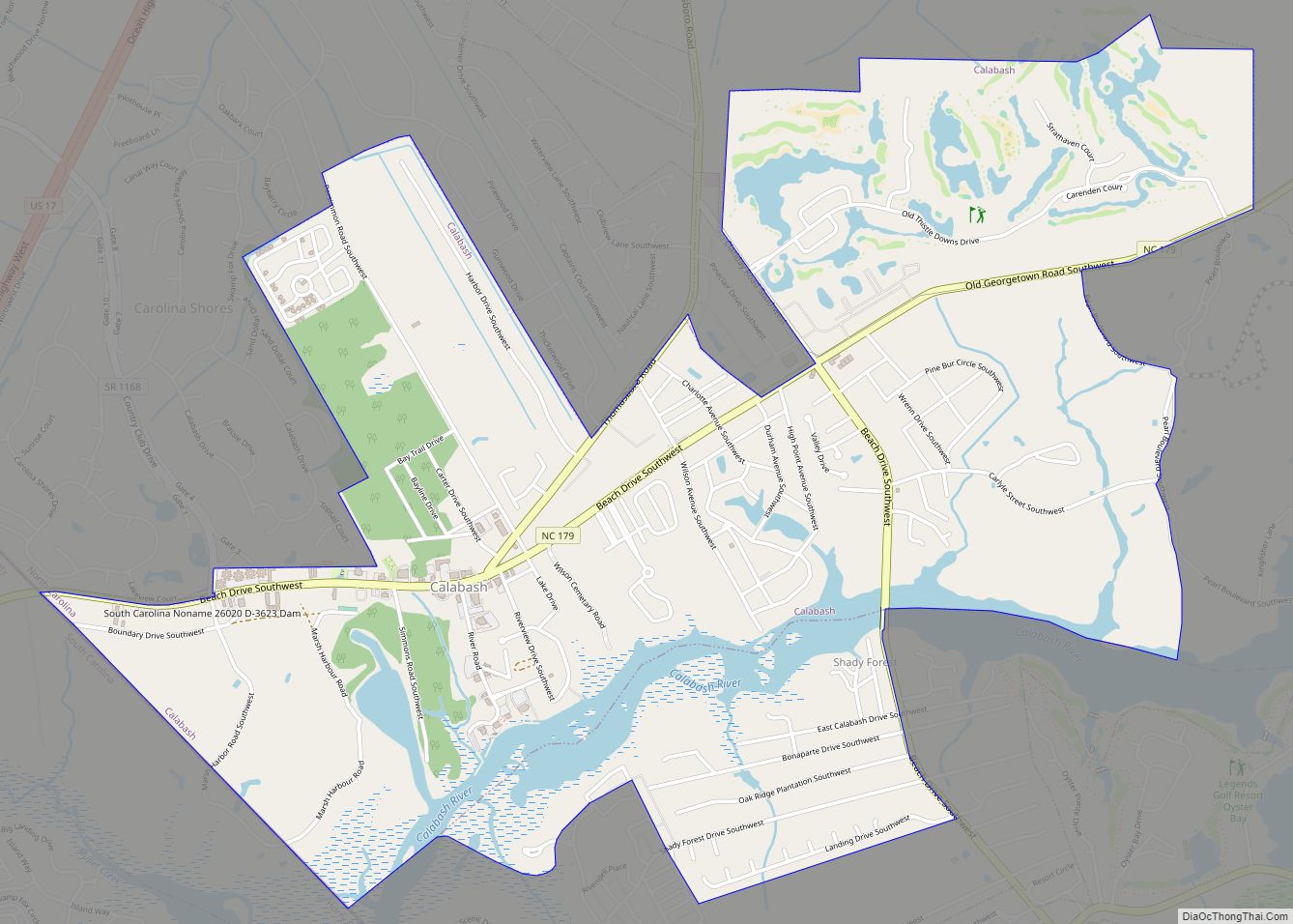
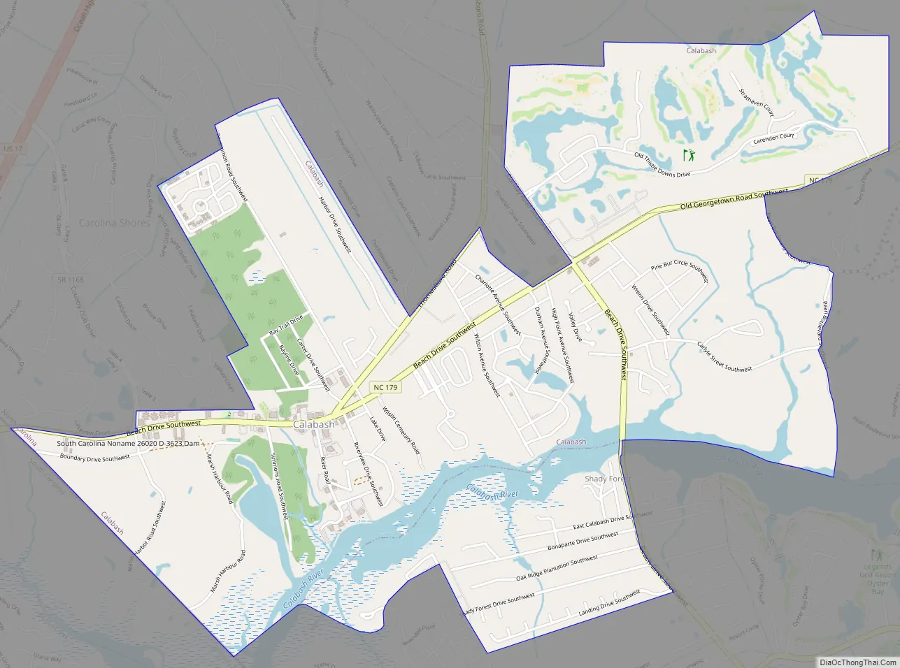
Calabash Road Map
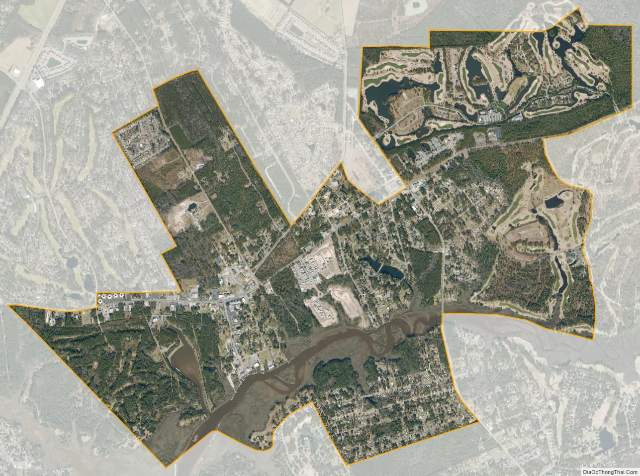
Calabash city Satellite Map
Geography
Calabash is located in southwestern Brunswick County at 33°53′33″N 78°34′0″W / 33.89250°N 78.56667°W / 33.89250; -78.56667 (33.892619, -78.566547). Its southwest border is the South Carolina state line. It is bordered to the northwest by the town of Carolina Shores, and the town of Sunset Beach lies to the east. The tidal Calabash River flows through the southern part of the town, leading southwest to the Little River in South Carolina, 3 miles (5 km) upstream from that river’s mouth at Little River Inlet on the Atlantic Ocean.
The main road through the town is North Carolina Highway 179 (Beach Drive), leading west to U.S. Route 17 in South Carolina and east by a winding route 15 miles (24 km) to Shallotte.
According to the United States Census Bureau, the town of Calabash has a total area of 3.7 square miles (9.5 km), of which 3.3 square miles (8.6 km) is land and 0.35 square miles (0.9 km), or 9.27%, is water.
See also
Map of North Carolina State and its subdivision:- Alamance
- Alexander
- Alleghany
- Anson
- Ashe
- Avery
- Beaufort
- Bertie
- Bladen
- Brunswick
- Buncombe
- Burke
- Cabarrus
- Caldwell
- Camden
- Carteret
- Caswell
- Catawba
- Chatham
- Cherokee
- Chowan
- Clay
- Cleveland
- Columbus
- Craven
- Cumberland
- Currituck
- Dare
- Davidson
- Davie
- Duplin
- Durham
- Edgecombe
- Forsyth
- Franklin
- Gaston
- Gates
- Graham
- Granville
- Greene
- Guilford
- Halifax
- Harnett
- Haywood
- Henderson
- Hertford
- Hoke
- Hyde
- Iredell
- Jackson
- Johnston
- Jones
- Lee
- Lenoir
- Lincoln
- Macon
- Madison
- Martin
- McDowell
- Mecklenburg
- Mitchell
- Montgomery
- Moore
- Nash
- New Hanover
- Northampton
- Onslow
- Orange
- Pamlico
- Pasquotank
- Pender
- Perquimans
- Person
- Pitt
- Polk
- Randolph
- Richmond
- Robeson
- Rockingham
- Rowan
- Rutherford
- Sampson
- Scotland
- Stanly
- Stokes
- Surry
- Swain
- Transylvania
- Tyrrell
- Union
- Vance
- Wake
- Warren
- Washington
- Watauga
- Wayne
- Wilkes
- Wilson
- Yadkin
- Yancey
- Alabama
- Alaska
- Arizona
- Arkansas
- California
- Colorado
- Connecticut
- Delaware
- District of Columbia
- Florida
- Georgia
- Hawaii
- Idaho
- Illinois
- Indiana
- Iowa
- Kansas
- Kentucky
- Louisiana
- Maine
- Maryland
- Massachusetts
- Michigan
- Minnesota
- Mississippi
- Missouri
- Montana
- Nebraska
- Nevada
- New Hampshire
- New Jersey
- New Mexico
- New York
- North Carolina
- North Dakota
- Ohio
- Oklahoma
- Oregon
- Pennsylvania
- Rhode Island
- South Carolina
- South Dakota
- Tennessee
- Texas
- Utah
- Vermont
- Virginia
- Washington
- West Virginia
- Wisconsin
- Wyoming