Ocean Isle Beach (Ocean Isle) is a small seaside town in Brunswick County, North Carolina, United States. It was incorporated as a town in 1959 and is part of the Myrtle Beach metropolitan area. The population was 550 at the 2010 census.
Located at the southern end of North Carolina’s Atlantic coastline, along the Atlantic Intracoastal Waterway, Ocean Isle Beach has private homes, seasonal rentals, and various tourist attractions.
| Name: | Ocean Isle Beach town |
|---|---|
| LSAD Code: | 43 |
| LSAD Description: | town (suffix) |
| State: | North Carolina |
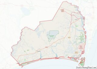
| County: | Brunswick County |
| Elevation: | 12 ft (4 m) |
| Total Area: | 4.72 sq mi (12.22 km²) |
| Land Area: | 3.74 sq mi (9.69 km²) |
| Water Area: | 0.98 sq mi (2.53 km²) |
| Total Population: | 867 |
| Population Density: | 231.69/sq mi (89.47/km²) |
| ZIP code: | 28469 |
| FIPS code: | 3748700 |
| GNISfeature ID: | 1004781 |
| Website: | www.oibgov.com |
Online Interactive Map
Click on ![]() to view map in "full screen" mode.
to view map in "full screen" mode.
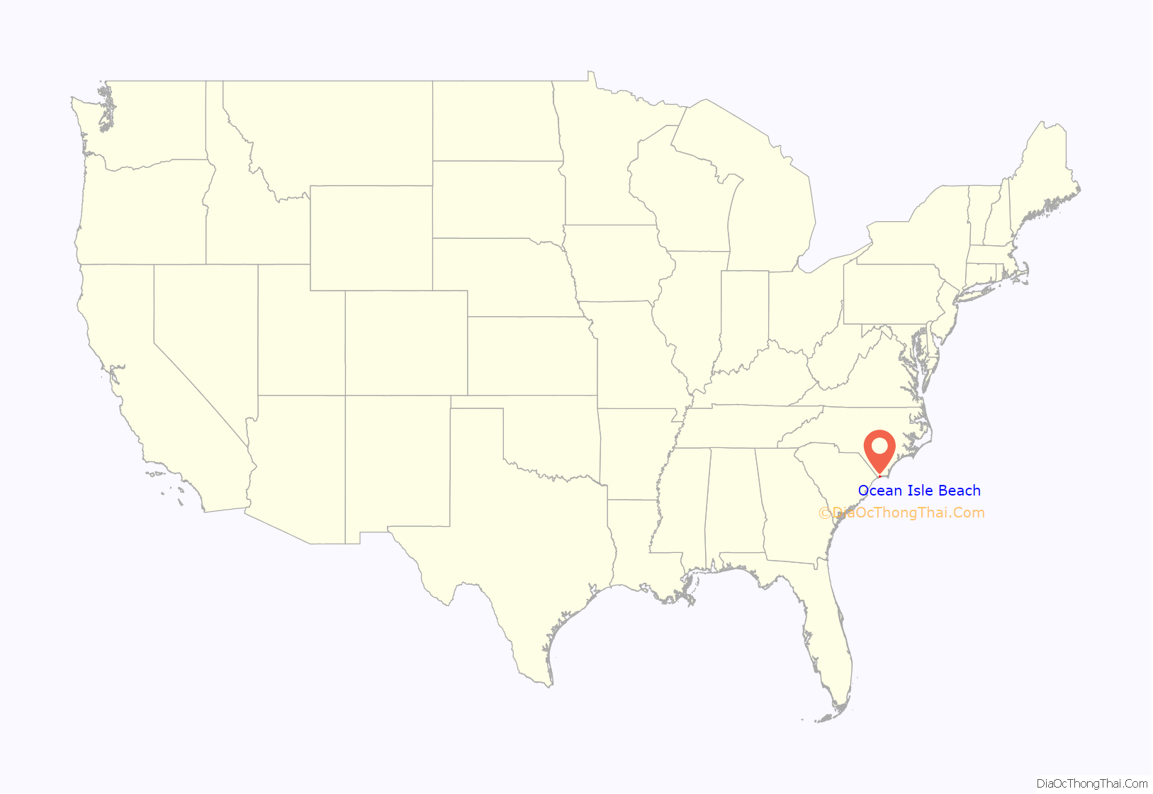
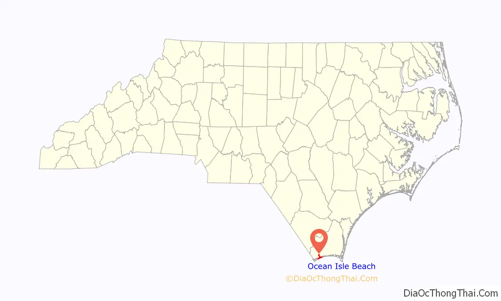
Ocean Isle Beach location map. Where is Ocean Isle Beach town?
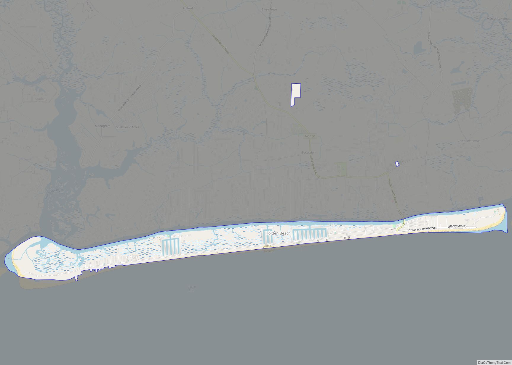
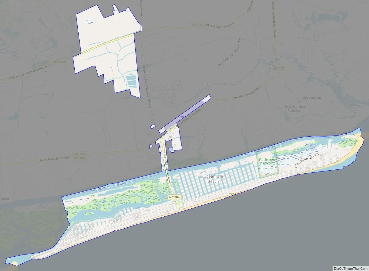
Ocean Isle Beach Road Map
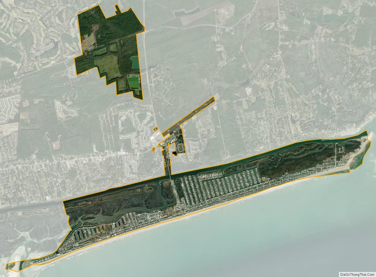
Ocean Isle Beach city Satellite Map
Geography
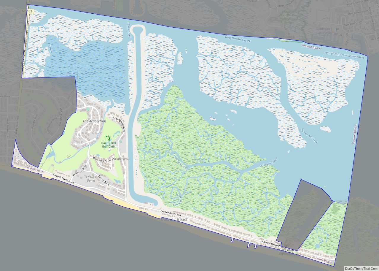
Ocean Isle Beach is located in southwest Brunswick County at 33°53′40″N 78°26′20″W / 33.89444°N 78.43889°W / 33.89444; -78.43889 (33.894558, -78.438895). The town spans the barrier island of Ocean Isle Beach, extending 5 miles (8 km) from Tubbs Inlet on the west to Shallotte Inlet on the east, and a section of the mainland to the north along North Carolina Highway 904.
According to the United States Census Bureau, the town has a total area of 4.5 square miles (11.7 km); 3.4 square miles (8.8 km) is land (74.79%) and the balance water.
Known as the “Gem of the Brunswick Islands”, Ocean Isle Beach is located along the coastal corridor between Wilmington, North Carolina and Myrtle Beach, South Carolina. Ocean Isle Beach is connected to the mainland by a modern bridge spanning marsh savannas. The beach runs east to west and offers a fishing pier, public boat launch facility, direct access to the Intracoastal Waterway, and beach paths every 500 feet (150 m). The Museum of Coastal Carolina offers dioramas on coastal life, a touch tank, a collection of Civil War and Native American artifacts, and a variety of interactive exhibits. The museum’s sister facility, located in nearby Sunset Beach, Ingram Planetarium, offers an 85-seat domed theater with learning experiences on astronomy, energy, navigation, and space exploration.
Ocean Isle Beach is finalizing details for a new roundabout that will be located at HWY 179. This design will include a brick retaining wall with “Welcome to Ocean Isle Beach” along with three bronze statues of children playing with kites. According to the media reports, the construction of the new town hall located at 111 Causeway Drive is officially underway and it will expect to be completed in June.
In June 22 of 2021 the statues were fully completed. Due to a car collision, two of the statues were destroyed and the roundabout was also hit. Damage to the roundabout has been repaired, along with one of the statues, but now only 2 of the 3 statues remain. No injuries have been reported.
See also
Map of North Carolina State and its subdivision:- Alamance
- Alexander
- Alleghany
- Anson
- Ashe
- Avery
- Beaufort
- Bertie
- Bladen
- Brunswick
- Buncombe
- Burke
- Cabarrus
- Caldwell
- Camden
- Carteret
- Caswell
- Catawba
- Chatham
- Cherokee
- Chowan
- Clay
- Cleveland
- Columbus
- Craven
- Cumberland
- Currituck
- Dare
- Davidson
- Davie
- Duplin
- Durham
- Edgecombe
- Forsyth
- Franklin
- Gaston
- Gates
- Graham
- Granville
- Greene
- Guilford
- Halifax
- Harnett
- Haywood
- Henderson
- Hertford
- Hoke
- Hyde
- Iredell
- Jackson
- Johnston
- Jones
- Lee
- Lenoir
- Lincoln
- Macon
- Madison
- Martin
- McDowell
- Mecklenburg
- Mitchell
- Montgomery
- Moore
- Nash
- New Hanover
- Northampton
- Onslow
- Orange
- Pamlico
- Pasquotank
- Pender
- Perquimans
- Person
- Pitt
- Polk
- Randolph
- Richmond
- Robeson
- Rockingham
- Rowan
- Rutherford
- Sampson
- Scotland
- Stanly
- Stokes
- Surry
- Swain
- Transylvania
- Tyrrell
- Union
- Vance
- Wake
- Warren
- Washington
- Watauga
- Wayne
- Wilkes
- Wilson
- Yadkin
- Yancey
- Alabama
- Alaska
- Arizona
- Arkansas
- California
- Colorado
- Connecticut
- Delaware
- District of Columbia
- Florida
- Georgia
- Hawaii
- Idaho
- Illinois
- Indiana
- Iowa
- Kansas
- Kentucky
- Louisiana
- Maine
- Maryland
- Massachusetts
- Michigan
- Minnesota
- Mississippi
- Missouri
- Montana
- Nebraska
- Nevada
- New Hampshire
- New Jersey
- New Mexico
- New York
- North Carolina
- North Dakota
- Ohio
- Oklahoma
- Oregon
- Pennsylvania
- Rhode Island
- South Carolina
- South Dakota
- Tennessee
- Texas
- Utah
- Vermont
- Virginia
- Washington
- West Virginia
- Wisconsin
- Wyoming