Baltic is the town center village of the town of Sprague, Connecticut, and a census-designated place (CDP). The population of the CDP was 1,250 as of the 2010 census. The Sprague town hall is in Baltic. The Baltic Historic District is a historic district that was listed on the National Register of Historic Places in 1987, encompassing virtually the entire extent of the village.
| Name: | Baltic CDP |
|---|---|
| LSAD Code: | 57 |
| LSAD Description: | CDP (suffix) |
| State: | Connecticut |
| County: | New London County |
| FIPS code: | 0902550 |
Online Interactive Map
Click on ![]() to view map in "full screen" mode.
to view map in "full screen" mode.
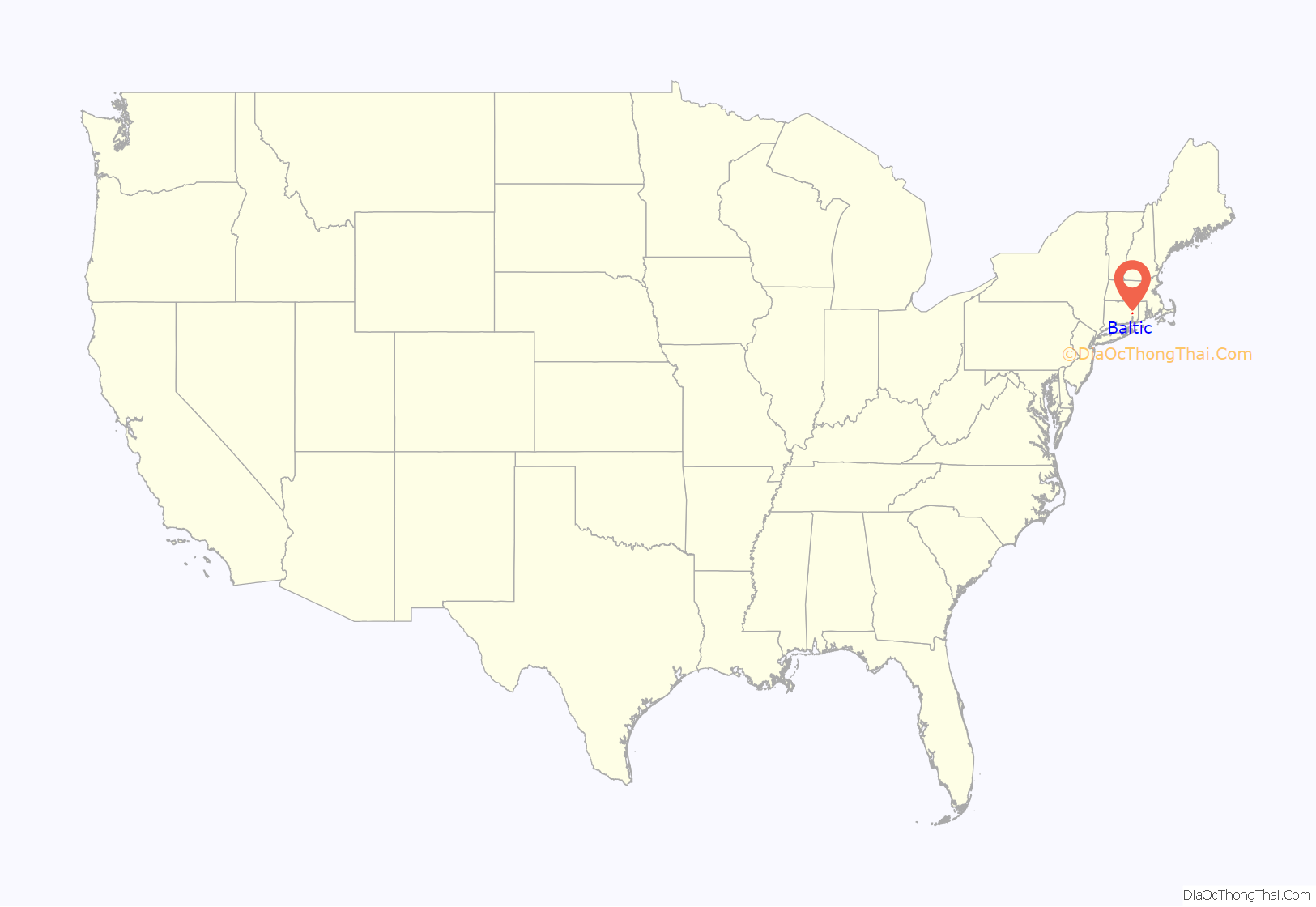
Baltic location map. Where is Baltic CDP?
History
Baltic was formed around a cotton mill established on the Shetucket River on land purchased in 1856 by former Rhode Island Governor and U.S. Senator William Sprague III. The A. & W. Sprague Manufacturing Co. mill burned down in 1887. Subsequently, Frederick Sayles of Pawtucket, Rhode Island, purchased the site and built the Baltic Mills Co. cotton mill, which opened in 1899. The company operated until 1963, when the mill was sold to a syndicate from New York. The mill continued operating until 1967, when it was closed and the property and equipment were sold. In 1970 the property was sold to the Casper Division of Bevis Industries, which used it for a mail order operation.
The historic district includes 208 contributing buildings and two other contributing structures over a 122-acre (49 ha) area.
In August 1999, the remains of the mill were destroyed by fire. There was only one building that survived although it was also critically damaged . It was soon after discovered that campus was set ablaze by three local boys.
On April 23, 2018, the mill was set on fire again. Fire officials said hot sparks hit debris from citing pipes, likely sparking the flames of the fire.
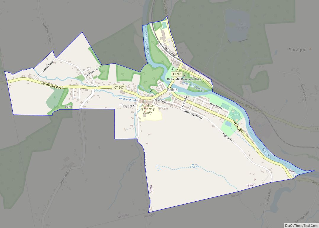
Baltic Road Map
Baltic city Satellite Map
See also
Map of Connecticut State and its subdivision: Map of other states:- Alabama
- Alaska
- Arizona
- Arkansas
- California
- Colorado
- Connecticut
- Delaware
- District of Columbia
- Florida
- Georgia
- Hawaii
- Idaho
- Illinois
- Indiana
- Iowa
- Kansas
- Kentucky
- Louisiana
- Maine
- Maryland
- Massachusetts
- Michigan
- Minnesota
- Mississippi
- Missouri
- Montana
- Nebraska
- Nevada
- New Hampshire
- New Jersey
- New Mexico
- New York
- North Carolina
- North Dakota
- Ohio
- Oklahoma
- Oregon
- Pennsylvania
- Rhode Island
- South Carolina
- South Dakota
- Tennessee
- Texas
- Utah
- Vermont
- Virginia
- Washington
- West Virginia
- Wisconsin
- Wyoming
