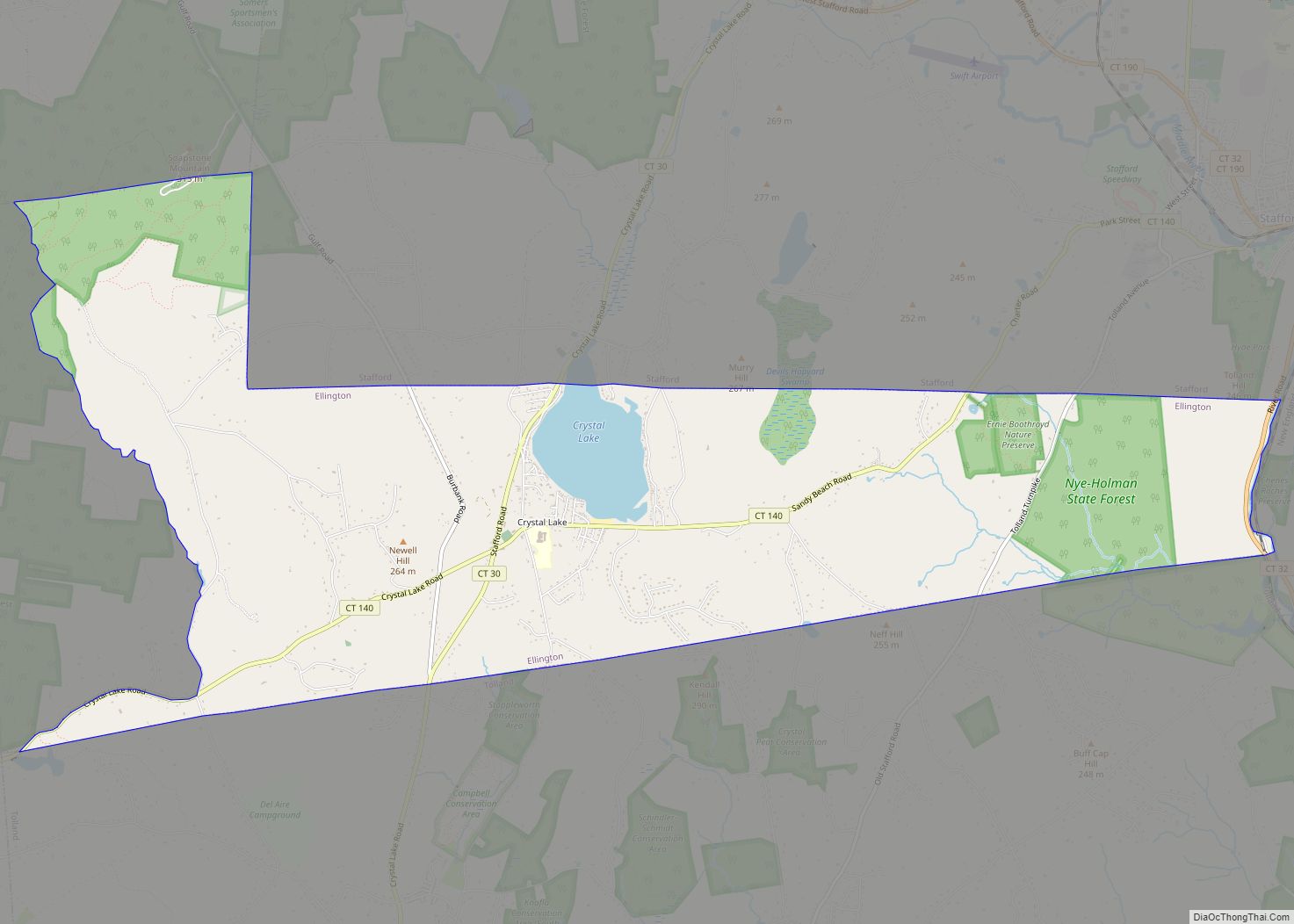
Crystal Lake is a village, census-designated place, and part of the town of Ellington, in Tolland County, Connecticut, United States. The population was 1,945 at the 2010 census. The CDP includes an eponymous lake.
| Name: | Crystal Lake CDP |
|---|---|
| LSAD Code: | 57 |
| LSAD Description: | CDP (suffix) |
| State: | Connecticut |
| County: | Tolland County |
| Elevation: | 636 ft (194 m) |
| Total Area: | 8.1 sq mi (21 km²) |
| Land Area: | 7.8 sq mi (20 km²) |
| Water Area: | 0.3 sq mi (0.8 km²) |
| Total Population: | 1,945 |
| Population Density: | 240/sq mi (93/km²) |
| ZIP code: | 06029 |
| Area code: | 860 |
| FIPS code: | 0918220 |
Online Interactive Map
Click on ![]() to view map in "full screen" mode.
to view map in "full screen" mode.
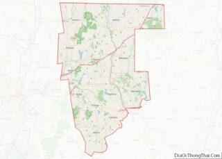
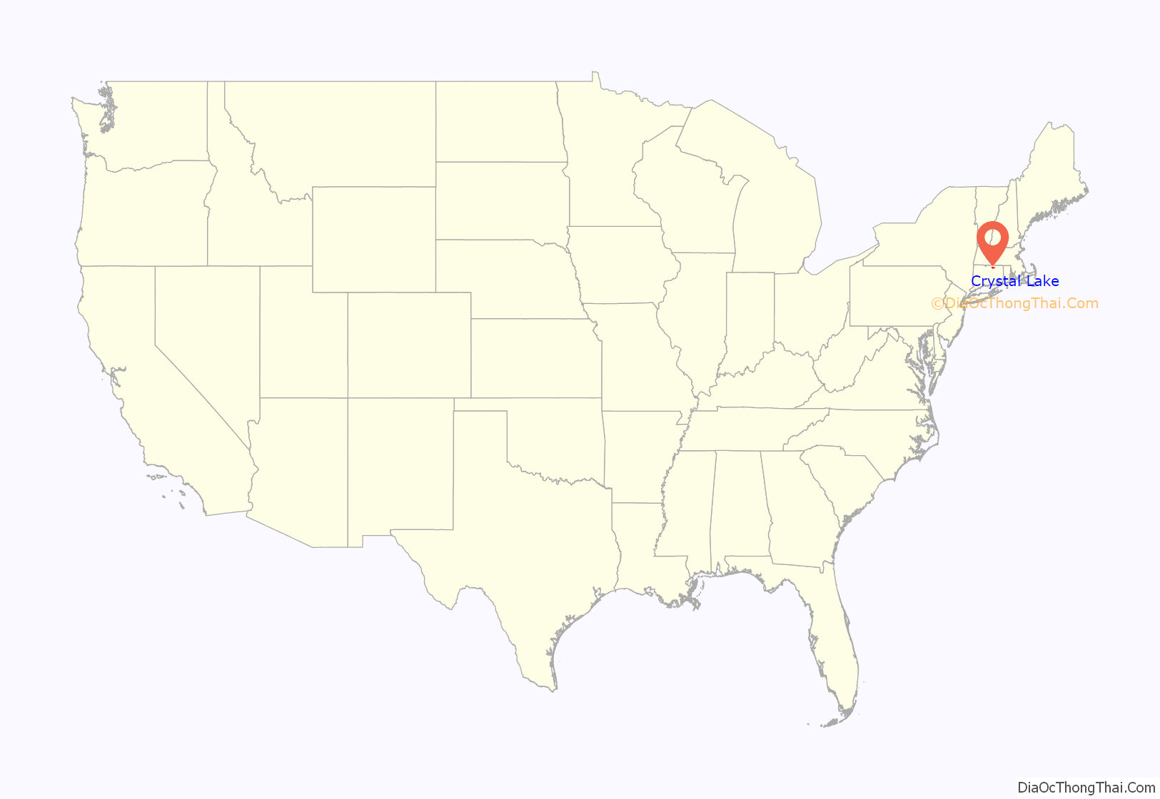
Crystal Lake location map. Where is Crystal Lake CDP?
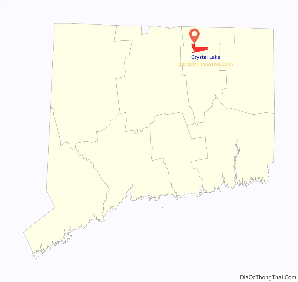
Crystal Lake Road Map
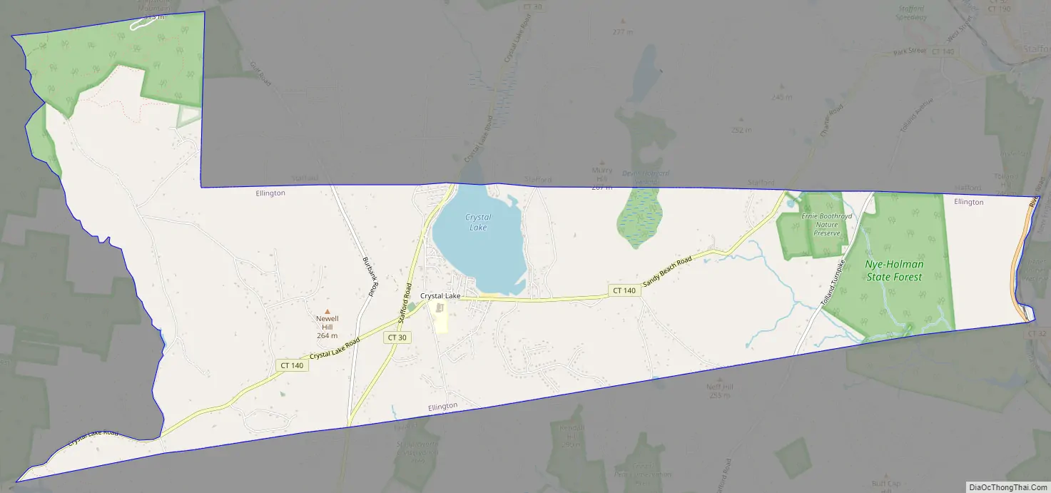
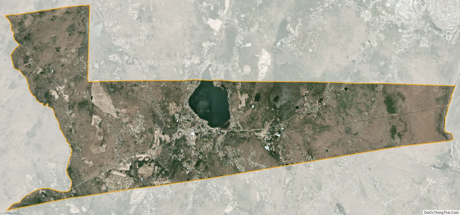
Crystal Lake city Satellite Map
Geography
The CDP is home to Crystal Lake, a 187-acre (76 ha) lake that straddles the border between Ellington and Stafford. Most of the lake shore is occupied by private residences, but there is a small public beach called Sandy Beach on the south side of the lake. The lake has an average depth of 20 feet (6.1 m) and a maximum depth of 50 feet (15 m).
According to the United States Census Bureau, the CDP has a total area of 20.9 km (8.1 mi). 20.2 km (7.8 mi) of it is land and 0.7 km (0.3 mi) of it (3.35%) is water.
See also
Map of Connecticut State and its subdivision: Map of other states:- Alabama
- Alaska
- Arizona
- Arkansas
- California
- Colorado
- Connecticut
- Delaware
- District of Columbia
- Florida
- Georgia
- Hawaii
- Idaho
- Illinois
- Indiana
- Iowa
- Kansas
- Kentucky
- Louisiana
- Maine
- Maryland
- Massachusetts
- Michigan
- Minnesota
- Mississippi
- Missouri
- Montana
- Nebraska
- Nevada
- New Hampshire
- New Jersey
- New Mexico
- New York
- North Carolina
- North Dakota
- Ohio
- Oklahoma
- Oregon
- Pennsylvania
- Rhode Island
- South Carolina
- South Dakota
- Tennessee
- Texas
- Utah
- Vermont
- Virginia
- Washington
- West Virginia
- Wisconsin
- Wyoming