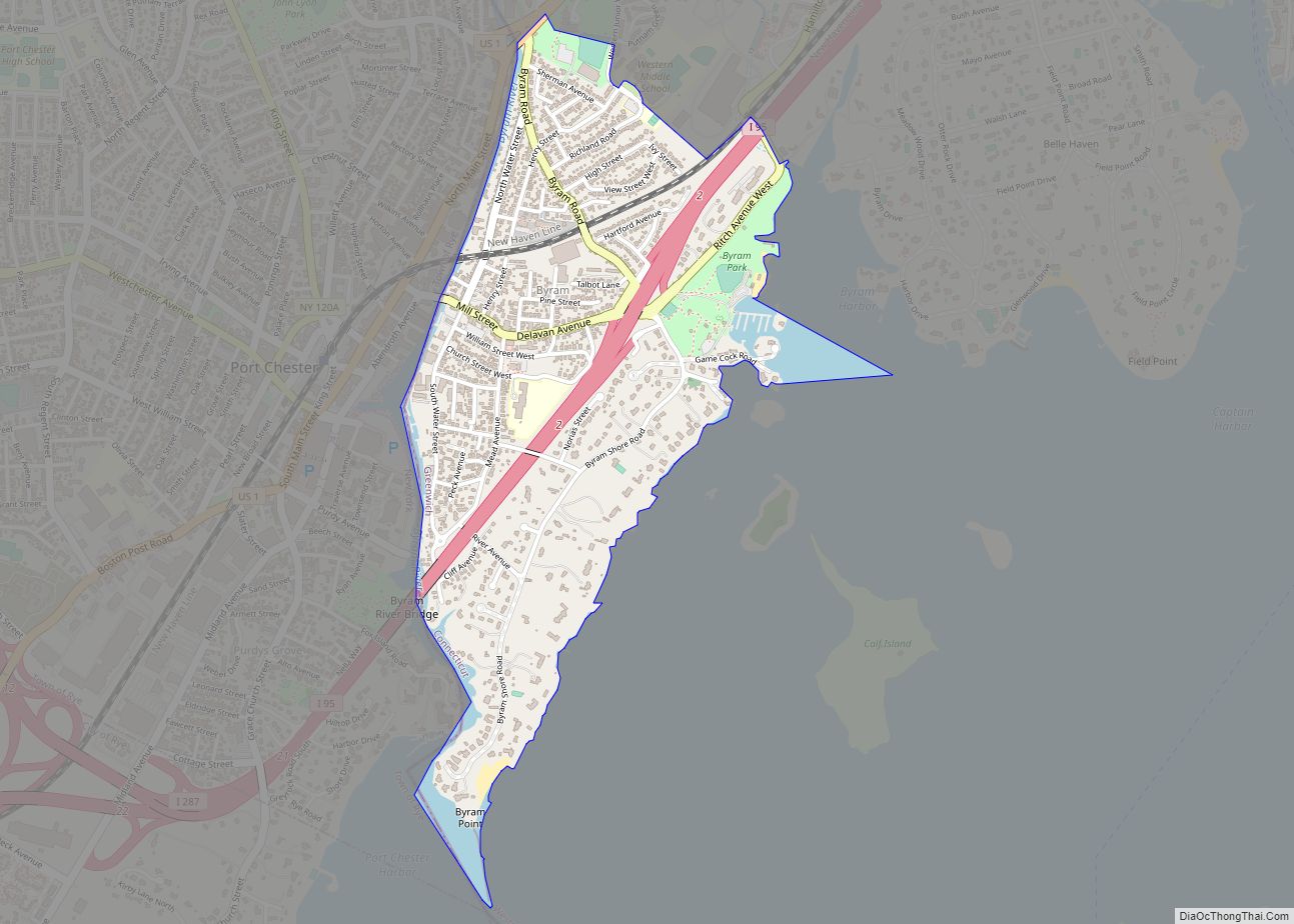
Riverside is a neighborhood/section in the town of Greenwich in Fairfield County, Connecticut, United States. As of the 2020 census, it had a population of 8,843.
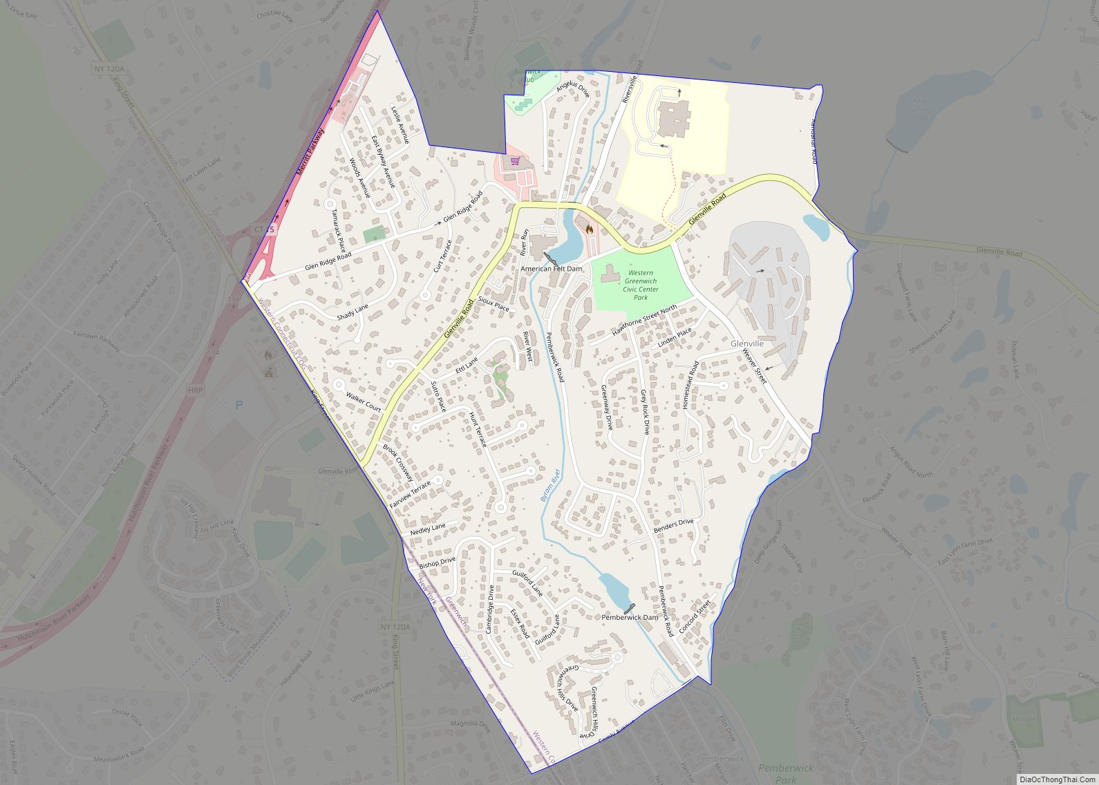
The town of Greenwich is one political and taxing body, but consists of several distinct sections or neighborhoods, such as Banksville, Byram, Cos Cob, Glenville, Mianus, Old Greenwich, Riverside, and Greenwich (sometimes referred to as central, or downtown, Greenwich). Of these neighborhoods, three (Cos Cob, Old Greenwich, and Riverside) have separate postal names and ZIP codes.
| Name: | Riverside CDP |
|---|---|
| LSAD Code: | 57 |
| LSAD Description: | CDP (suffix) |
| State: | Connecticut |
| County: | Fairfield County |
| Total Area: | 3.23 sq mi (8.36 km²) |
| Land Area: | 2.42 sq mi (6.271 km²) |
| Water Area: | 0.81 sq mi (2.09 km²) |
| Total Population: | 8,843 |
| Population Density: | 2,700/sq mi (1,100/km²) |
| Area code: | 203 |
| FIPS code: | 0964530 |
| GNISfeature ID: | 2631574 |
Online Interactive Map
Click on ![]() to view map in "full screen" mode.
to view map in "full screen" mode.
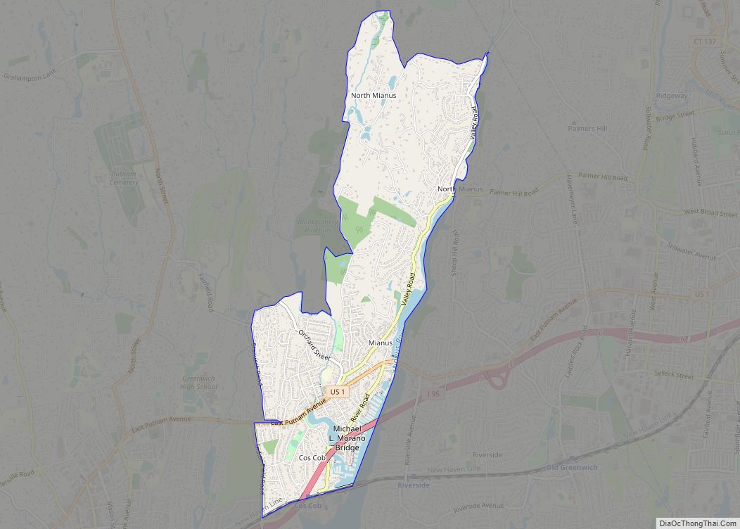
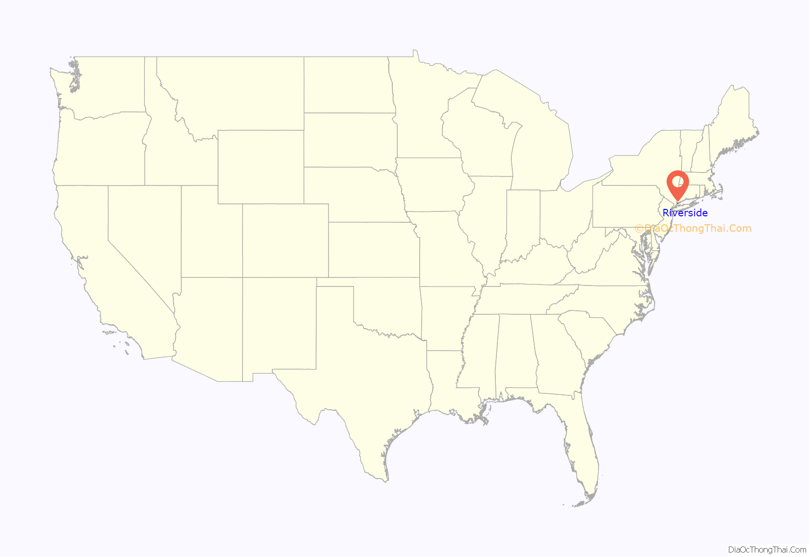
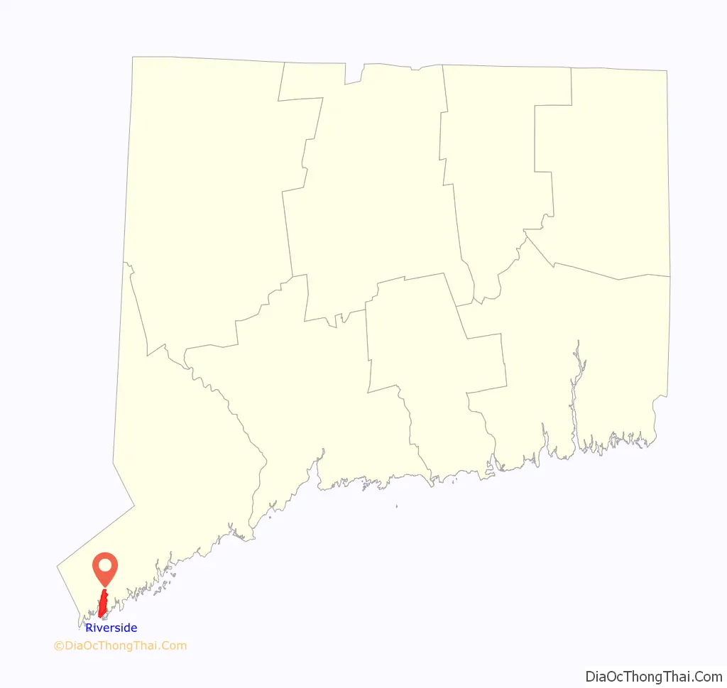
Riverside location map. Where is Riverside CDP?
History
St. Catherine of Sienna Church hosts a week long carnival in June or July that has happened for over 40 years. St. Paul’s Episcopal Church, at 200 Riverside Avenue in Riverside, has held its “Fair for All” since 1942. Money raised goes directly to local charities.
Riverside has two sites listed on the National Register of Historic Places:
- Riverside Avenue Bridge, Riverside Avenue over railroad tracks; built in 1894; listed in 1977
- Samuel Ferris House, Cary Road; built in about 1760; listed in 1989
Riverside Road Map
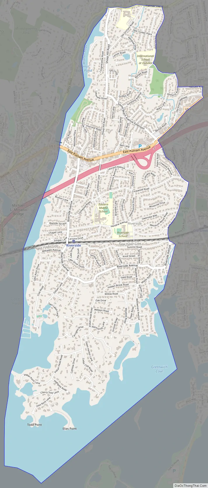
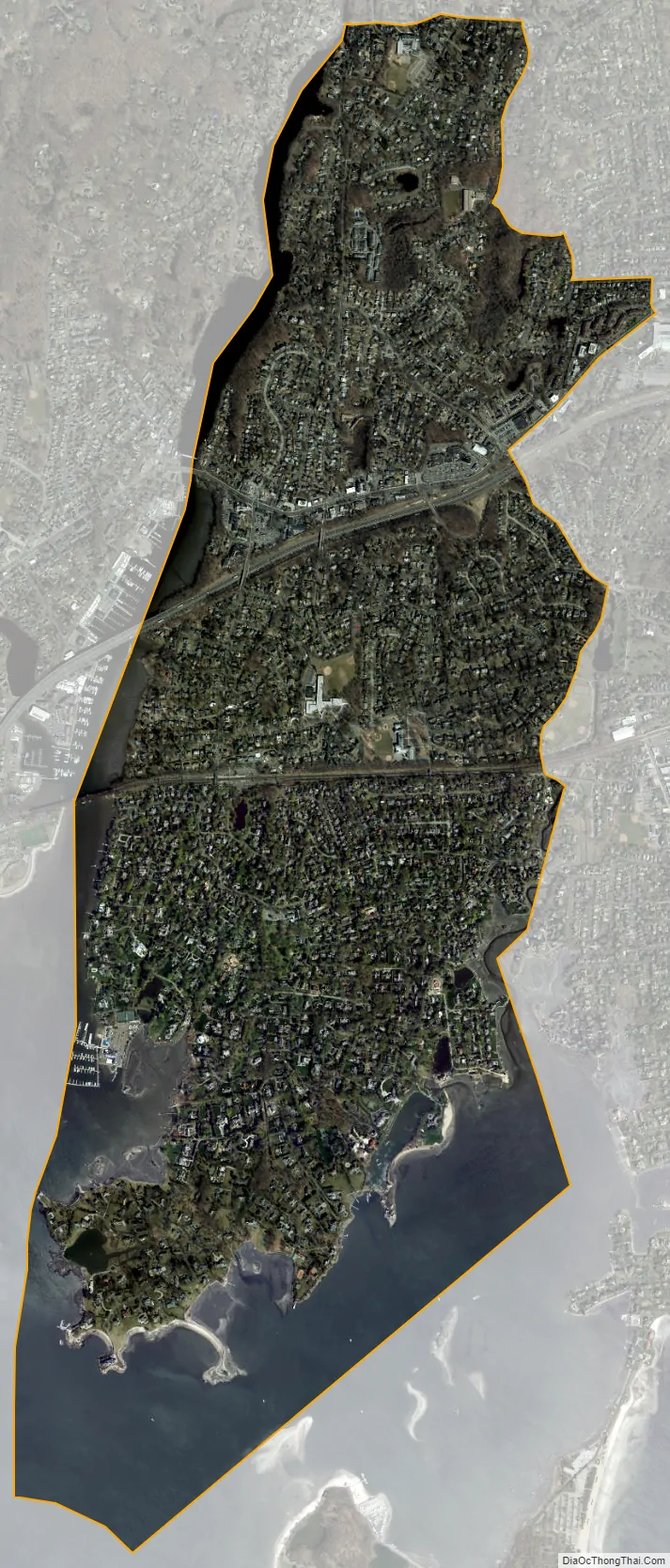
Riverside city Satellite Map
Geography
According to the U.S. Census Bureau, Riverside has a total area of 3.23 mi (8.36 km), of which 2.42 mi (6.27 km) is land and 0.81 mi (2.09 km), or 24.98%, is water.
Riverside is bounded to the west by Greenwich and Cos Cob, both across the Mianus River. The town’s eastern border is with Old Greenwich.
See also
Map of Connecticut State and its subdivision: Map of other states:- Alabama
- Alaska
- Arizona
- Arkansas
- California
- Colorado
- Connecticut
- Delaware
- District of Columbia
- Florida
- Georgia
- Hawaii
- Idaho
- Illinois
- Indiana
- Iowa
- Kansas
- Kentucky
- Louisiana
- Maine
- Maryland
- Massachusetts
- Michigan
- Minnesota
- Mississippi
- Missouri
- Montana
- Nebraska
- Nevada
- New Hampshire
- New Jersey
- New Mexico
- New York
- North Carolina
- North Dakota
- Ohio
- Oklahoma
- Oregon
- Pennsylvania
- Rhode Island
- South Carolina
- South Dakota
- Tennessee
- Texas
- Utah
- Vermont
- Virginia
- Washington
- West Virginia
- Wisconsin
- Wyoming