Shelton is a city in Fairfield County, Connecticut, United States. The population was 40,869 at the 2020 United States Census. The city is part of the Naugatuck Valley Planning Region.
| Name: | Shelton city |
|---|---|
| LSAD Code: | 25 |
| LSAD Description: | city (suffix) |
| State: | Connecticut |
| County: | Fairfield County |
| Elevation: | 62 ft (19 m) |
| Total Area: | 31.90 sq mi (82.63 km²) |
| Land Area: | 30.63 sq mi (79.33 km²) |
| Water Area: | 1.27 sq mi (3.29 km²) |
| Total Population: | 40,869 |
| Population Density: | 1,334/sq mi (515.2/km²) |
| ZIP code: | 06484 |
| Area code: | 203/475 |
| FIPS code: | 0968100 |
| GNISfeature ID: | 0210800 |
| Website: | www.cityofshelton.org |
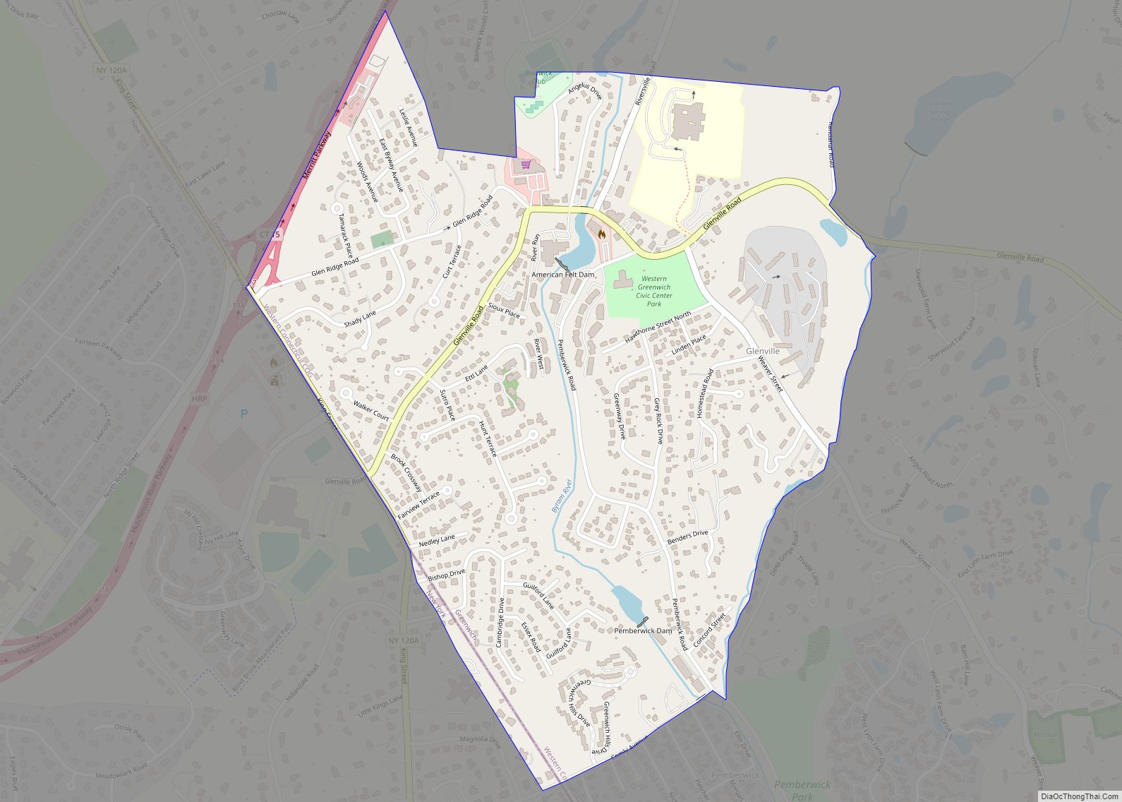
Online Interactive Map
Click on ![]() to view map in "full screen" mode.
to view map in "full screen" mode.
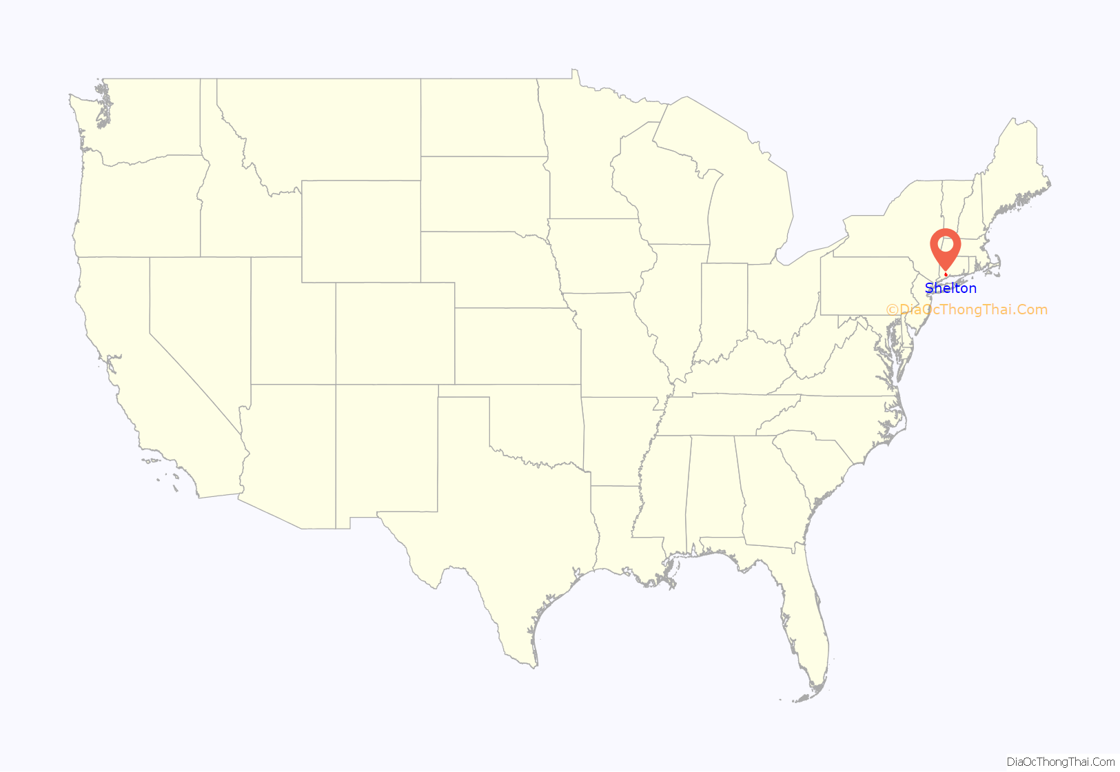
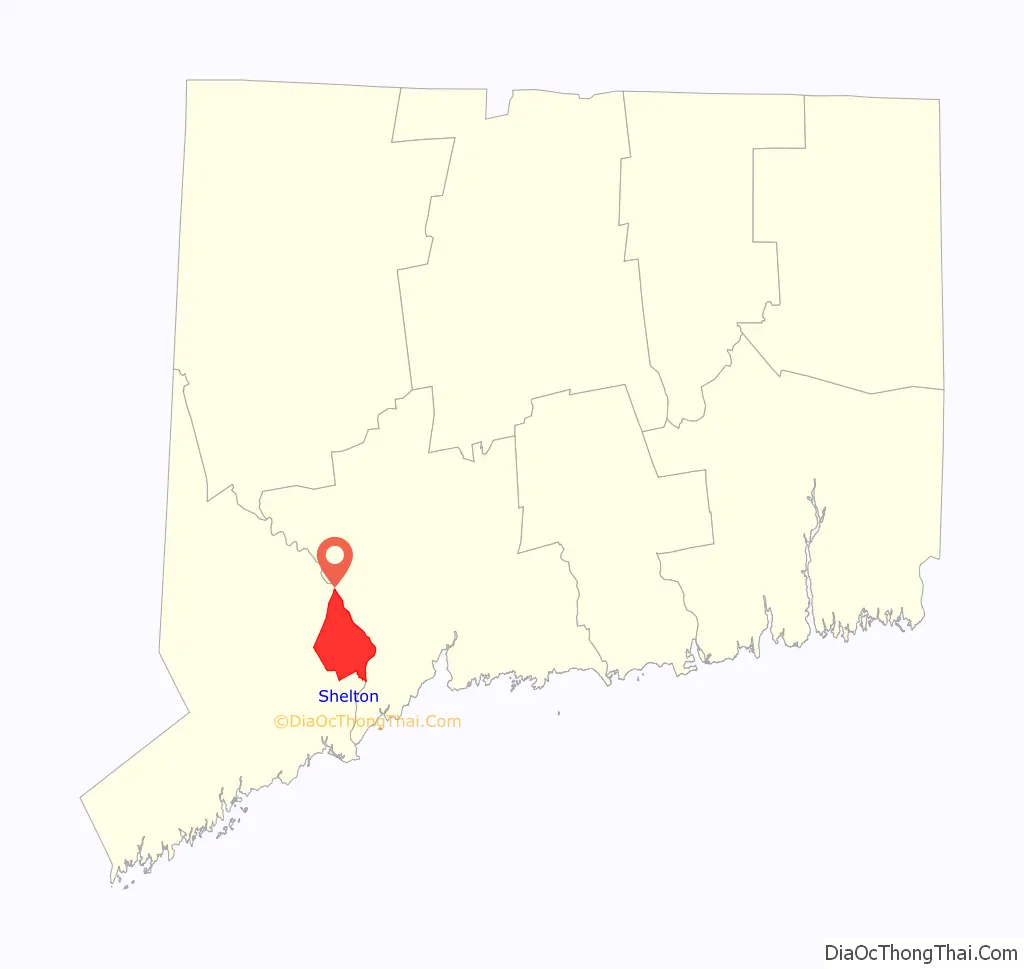
Shelton location map. Where is Shelton city?
History
Origins
Shelton was settled by the English as part of the town of Stratford, Connecticut, in 1639. On May 15, 1656, the Court of the Colony of Connecticut in Hartford affirmed that the town of Stratford included all of the territory 12 miles (19 km) inland from Long Island Sound, between the Housatonic River and the Fairfield town line. In 1662, Stratford selectmen Lt. Joseph Judson, Captain Joseph Hawley and John Minor had secured all the written deeds of transfer from the Golden Hill Paugussett Indian Nation for this vast territory that comprises the present-day towns of Trumbull, Shelton and Monroe. Shelton was split off from Stratford in 1789, as Huntington (named for Samuel Huntington). The current name originated in a manufacturing village started in the 1860s named for the Shelton Company founded by Edward N. Shelton—also founder of Ousatonic Water Power Company. The rapidly growing borough of Shelton incorporated as a city in 1915 and was consolidated with the town of Huntington in 1919 establishing the present city of Shelton.
Decline of Shelton’s industry
Shelton was the site of one of the largest arson fires in the United States history. It happened in 1975 when the Sponge Rubber Products plant (formerly owned by B.F. Goodrich) was set on fire. Charles Moeller, president of parent company Grand Sheet Metal Products, was acquitted of criminal charges, but in a suit under civil law (where preponderance of evidence suffices to establish a factual claim), a jury found in 1988 the insurer was entitled to disallow claims on the fire losses, based on the finding that the company’s top officials arranged the fire to claim insurance money. Eight others were convicted or pleaded guilty.
The explosion that destroyed the Sponge Rubber Plant on Canal Street in 1975 marked the start of the decline of Shelton’s industries. During the remainder of the 1970s and 1980s several firms that operated factories along the banks of the Housatonic River either went out of business or relocated to areas where labor and operating costs were cheaper. In 1995, Sikorsky Aircraft closed a plant off Bridgeport Avenue that manufactured electrical components for helicopters.
Rise of Shelton’s office space
With the completion of Route 8, new office spaces and businesses were attracted to the town, due to its Fairfield County location coupled with low costs of doing business as opposed to places such as Stamford or Greenwich. Major firms such as Tetley Tea, TIE Communication, I.T.T., Black and Decker, Sikorsky Aircraft, Gama Aviation, Chesebrough-Pond’s, Tetra-Pak, General Electric, and Bunker Ramo. Over 2,000,000 square feet (190,000 m) of corporate office space spread across 12 buildings was constructed by the R.D. Scinto corporation alone.
Downtown revitalization
Efforts are underway to restore nineteenth-century industrial buildings in the downtown area; those that were beyond repair were demolished in the late 1990s and early 2000s and replaced with the Veteran’s Memorial and a farmer’s market. The 10-acre (40,000 m) Riverwalk Park next to the Veterans Memorial was created on the site of the former Sponge Rubber Plant. Other buildings along Howe Avenue, one of the city’s main thoroughfares, have been restored, while developers have renovated two 19th-century factory buildings on Bridge Street, converting them into luxury condominiums. Several downtown streets have been reconstructed as part of a streetscape improvement project: sidewalks were reconstructed with brick and cobblestone, trees were planted, and some power lines were rerouted underground to improve the appearance of Shelton’s central business district. In March 2008, Connecticut Governor M. Jodi Rell announced that after negotiations with State Senator Dan Debicella and State Representative Jason Perillo, state bond funds in the amount of $2 million would be directed toward additional infrastructure improvements.
Other events
In November 2007, a tree growing on Soundview Avenue in Shelton was selected and felled to be the Rockefeller Center Christmas tree.
On May 30, 2008, producers and staff for the upcoming movie All Good Things shot one scene on Canal St. in downtown Shelton. The scene was underneath the train trestle and involved one of the characters dragging a body and dumping it into the Housatonic River.
On July 31, 2009, a line of heavy thunderstorms with weak rotation spawned an EF1 tornado, which touched down with wind speeds between 95 and 105 miles per hour. According to WTNH, the most concentrated damage was along the Oronoque Trail, where many trees were blown down. There were no injuries or fatalities.
In November 2013, a tree located on Kazo Drive was picked to be the second Rockefeller Center Christmas tree from Shelton.
Shelton Road Map
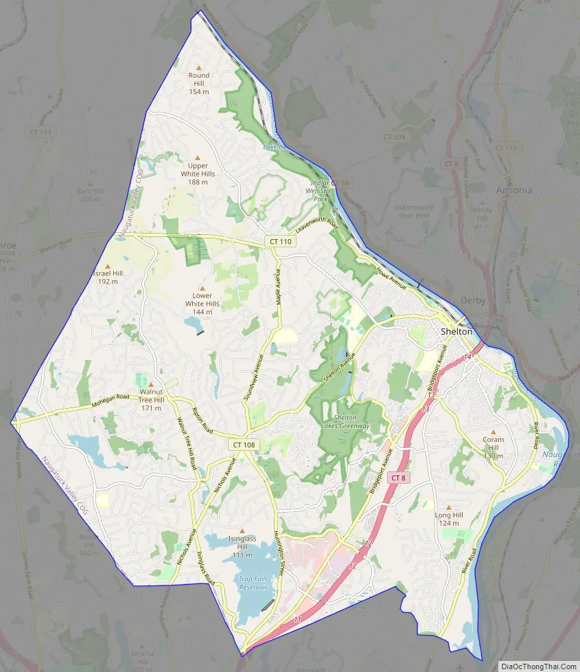
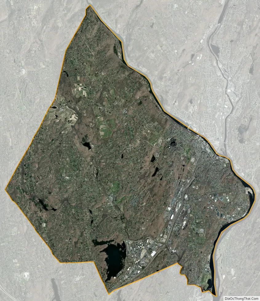
Shelton city Satellite Map
Geography
According to the United States Census Bureau, the city has a total area of 31.9 square miles (83 km), of which 30.6 square miles (79 km) is land and 1.4 square miles (3.6 km), or 4.26%, is water.
Neighborhoods
- Downtown
- Coram Gardens
- White Hills
- Soundview Avenue
- South End
- Booth Hill Road
- Bridgeport Avenue
- Huntington
- Pine Rock Park
- Long Hill
See also
Map of Connecticut State and its subdivision: Map of other states:- Alabama
- Alaska
- Arizona
- Arkansas
- California
- Colorado
- Connecticut
- Delaware
- District of Columbia
- Florida
- Georgia
- Hawaii
- Idaho
- Illinois
- Indiana
- Iowa
- Kansas
- Kentucky
- Louisiana
- Maine
- Maryland
- Massachusetts
- Michigan
- Minnesota
- Mississippi
- Missouri
- Montana
- Nebraska
- Nevada
- New Hampshire
- New Jersey
- New Mexico
- New York
- North Carolina
- North Dakota
- Ohio
- Oklahoma
- Oregon
- Pennsylvania
- Rhode Island
- South Carolina
- South Dakota
- Tennessee
- Texas
- Utah
- Vermont
- Virginia
- Washington
- West Virginia
- Wisconsin
- Wyoming