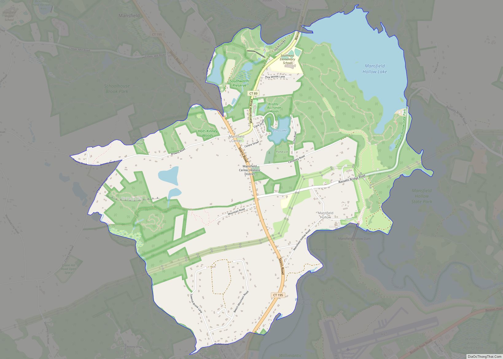
Storrs is a village and census-designated place (CDP) in the town of Mansfield in eastern Tolland County, Connecticut, United States. The village is part of the Capitol Planning Region. The population was 15,979 at the 2020 census. It is dominated economically and demographically by the main campus of the University of Connecticut and the associated Connecticut Repertory Theatre.
| Name: | Storrs CDP |
|---|---|
| LSAD Code: | 57 |
| LSAD Description: | CDP (suffix) |
| State: | Connecticut |
| County: | Tolland County |
| Elevation: | 194 m (636 ft) |
| Total Area: | 14.8 km² (5.7 sq mi) |
| Land Area: | 14.7 km² (5.7 sq mi) |
| Water Area: | 0.1 km² (0.04 sq mi) |
| Total Population: | 15,979 |
| Population Density: | 1,100/km² (2,800/sq mi) |
| Area code: | 860/959 |
| FIPS code: | 0973980 |
| GNISfeature ID: | 2377867 |
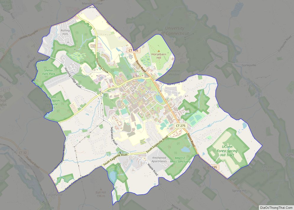
Online Interactive Map
Click on ![]() to view map in "full screen" mode.
to view map in "full screen" mode.
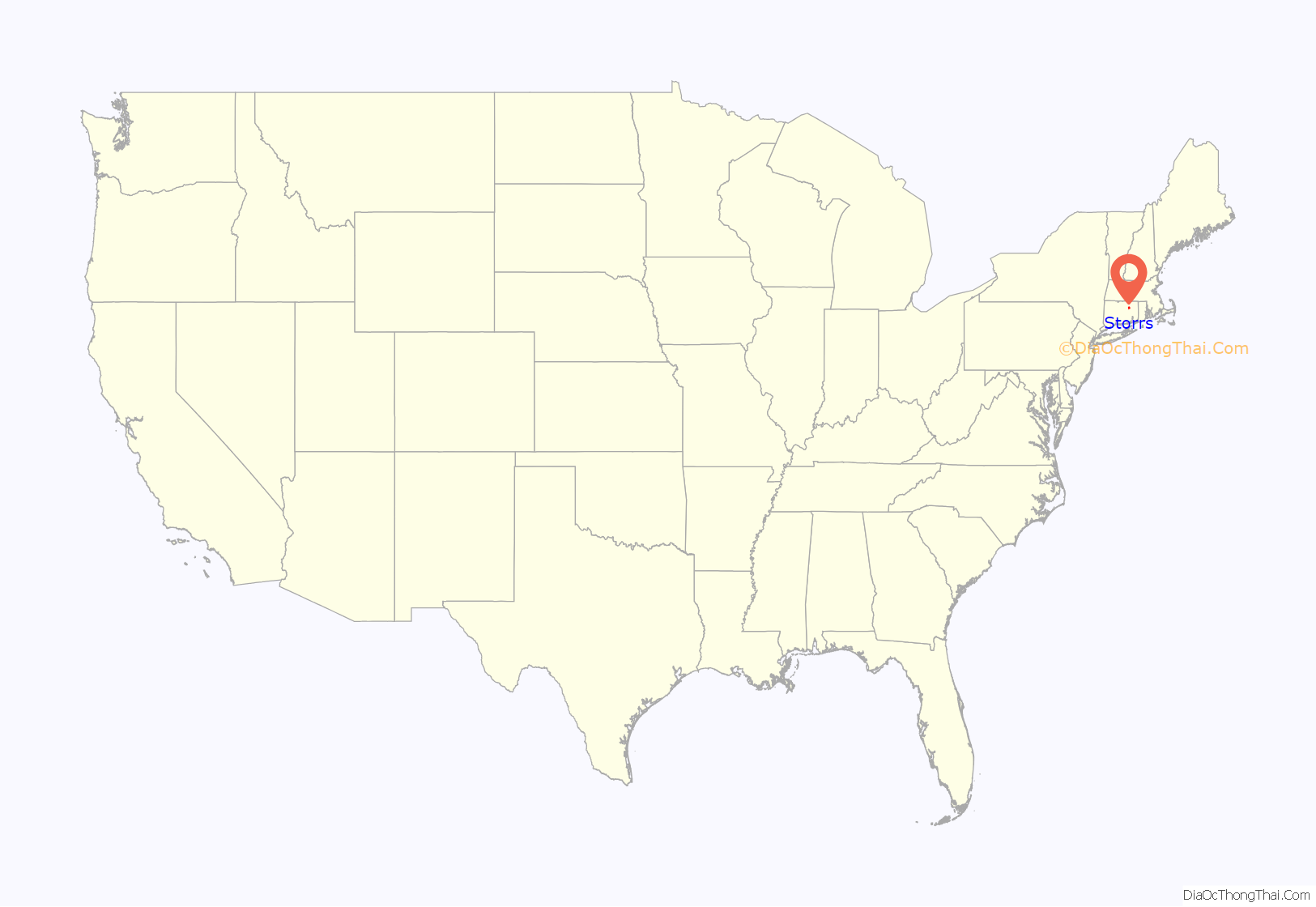
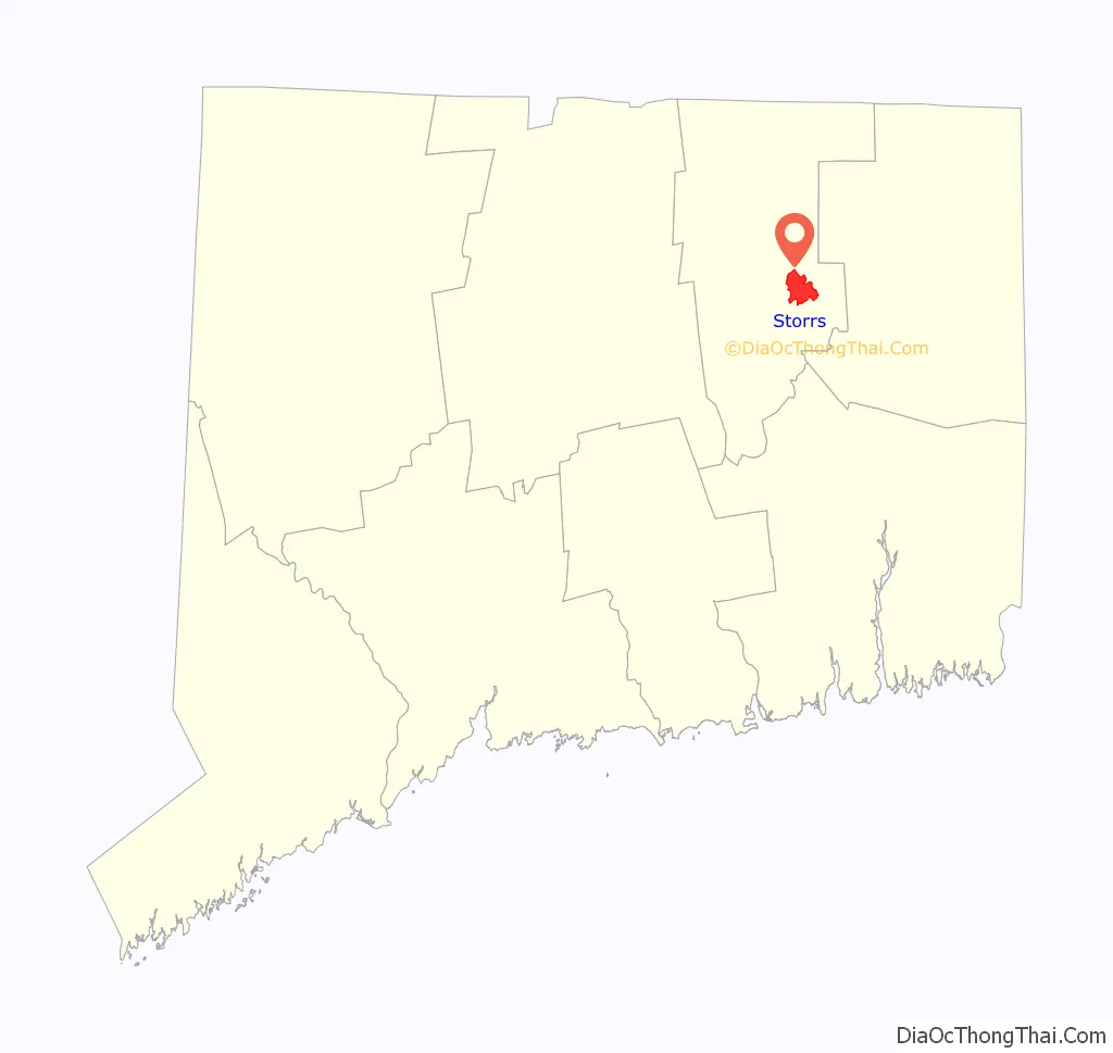
Storrs location map. Where is Storrs CDP?
History
Storrs was named for Charles and Augustus Storrs, two brothers who founded the University of Connecticut (originally called the Storrs Agricultural College) by giving the land (170 acres (0.69 km)) and $6,000 in 1881.
In the aftermath of September 2005’s Hurricane Katrina, Slate named Storrs “America’s Best Place to Avoid Death Due to Natural Disaster.”
Storrs Road Map
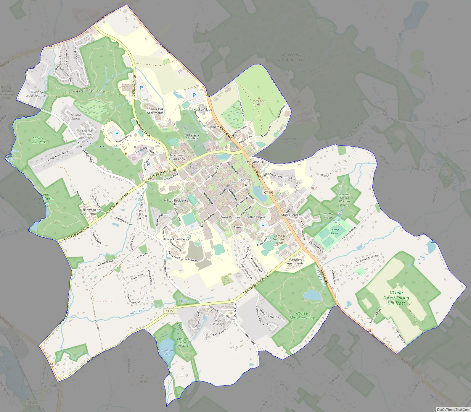
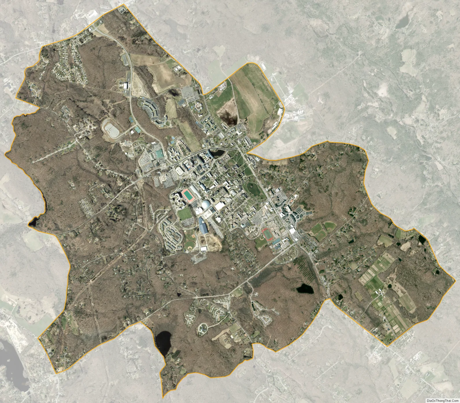
Storrs city Satellite Map
Geography
According to the United States Census Bureau, the community has an area of 14.9 km (5.7 mi), of which 14.7 km (5.7 mi) is land and 0.1 km (0.04 mi) (0.53%) is water.
Climate
See also
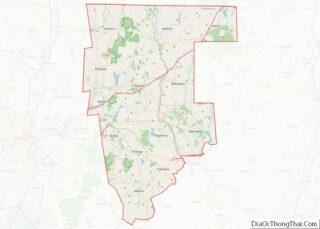
Map of Connecticut State and its subdivision: Map of other states:- Alabama
- Alaska
- Arizona
- Arkansas
- California
- Colorado
- Connecticut
- Delaware
- District of Columbia
- Florida
- Georgia
- Hawaii
- Idaho
- Illinois
- Indiana
- Iowa
- Kansas
- Kentucky
- Louisiana
- Maine
- Maryland
- Massachusetts
- Michigan
- Minnesota
- Mississippi
- Missouri
- Montana
- Nebraska
- Nevada
- New Hampshire
- New Jersey
- New Mexico
- New York
- North Carolina
- North Dakota
- Ohio
- Oklahoma
- Oregon
- Pennsylvania
- Rhode Island
- South Carolina
- South Dakota
- Tennessee
- Texas
- Utah
- Vermont
- Virginia
- Washington
- West Virginia
- Wisconsin
- Wyoming